Urie Ness
Coastal Feature, Headland, Point in Shetland
Scotland
Urie Ness
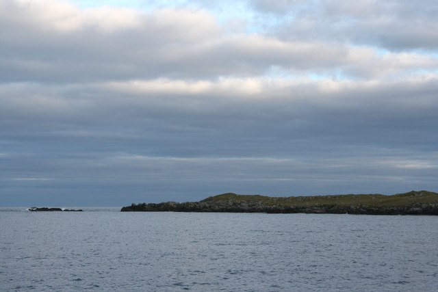
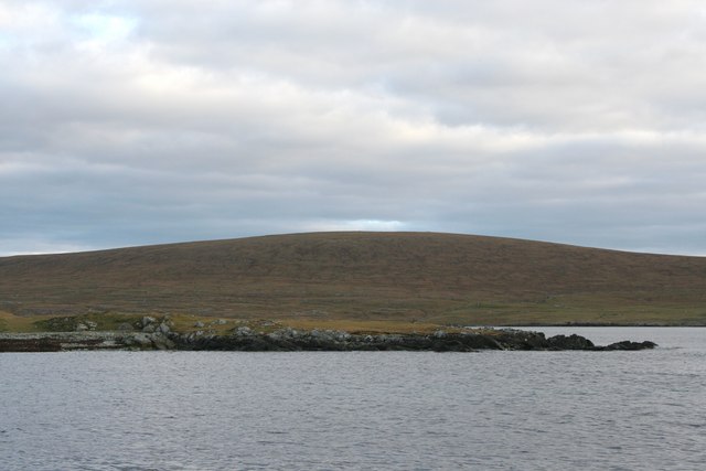
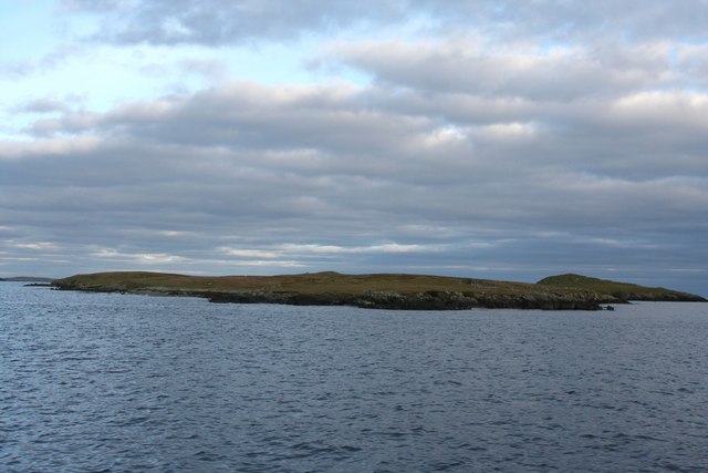
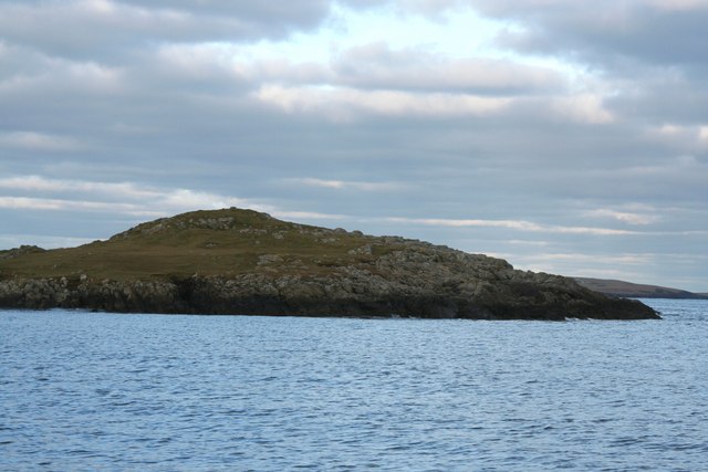
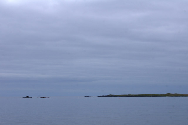
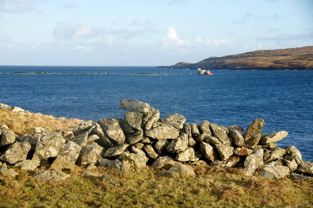
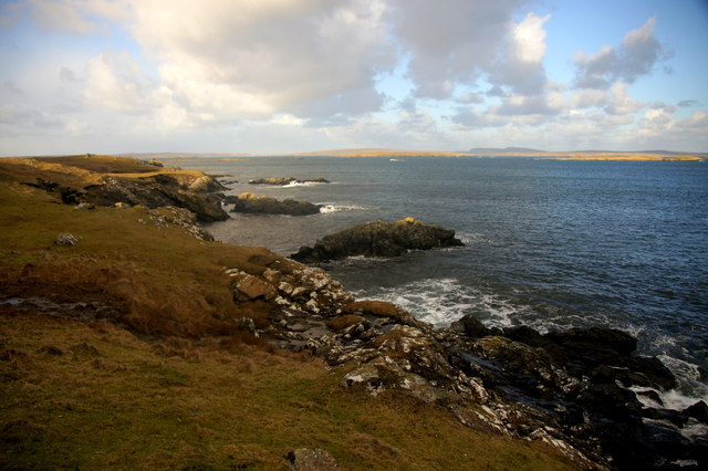
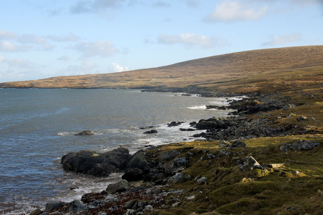
Urie Ness is a prominent coastal feature located on the northeastern coast of the Shetland Islands, an archipelago in Scotland. It is specifically situated on the mainland of Shetland, near the village of Voe. Urie Ness is classified as a headland, also commonly referred to as a point, due to its distinctive shape and protrusion into the North Sea.
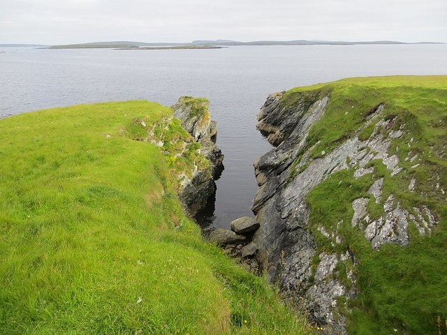
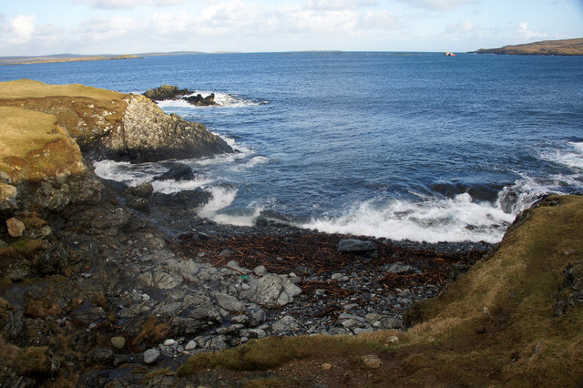
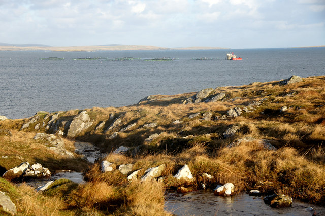
This coastal feature is known for its rugged and dramatic cliffs that stretch out into the ocean. The cliffs of Urie Ness rise to a considerable height, providing breathtaking panoramic views of the surrounding coastline and sea. The exposed nature of the headland makes it susceptible to the relentless battering of the waves, resulting in the formation of sea caves and natural arches along its rocky shoreline.
Urie Ness is a popular destination for nature lovers, hikers, and birdwatchers. The area is home to a diverse range of seabirds, including puffins, guillemots, and fulmars, which nest on the cliffs. Visitors can observe these magnificent creatures in their natural habitat and enjoy the serene beauty of the coastal landscape.
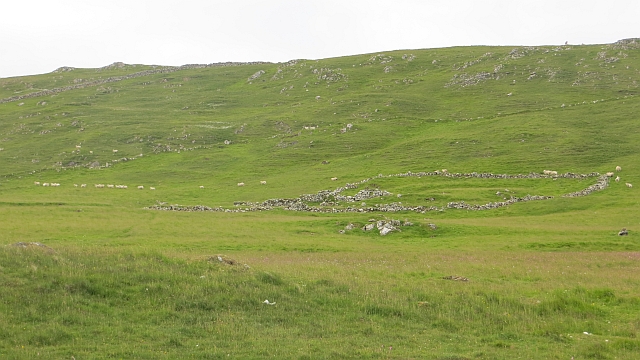
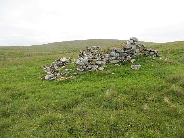
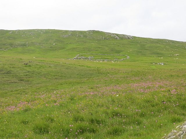
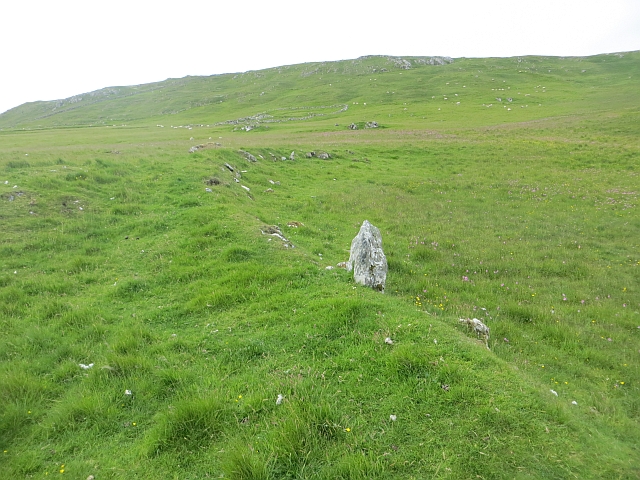
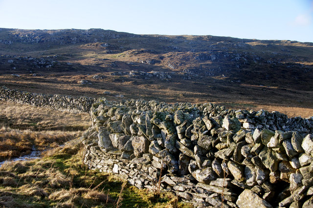
In addition to its natural beauty, Urie Ness holds historical significance. The headland features the remnants of an ancient broch, a circular stone tower from the Iron Age, indicating human occupation in this area dating back thousands of years. These archaeological remains add an extra layer of intrigue and fascination for those interested in the history and heritage of the Shetland Islands.
Overall, Urie Ness is a remarkable coastal feature that showcases the raw power of nature, offers stunning views, and provides a glimpse into the ancient past of the Shetland Islands.
If you have any feedback on the listing, please let us know in the comments section below.
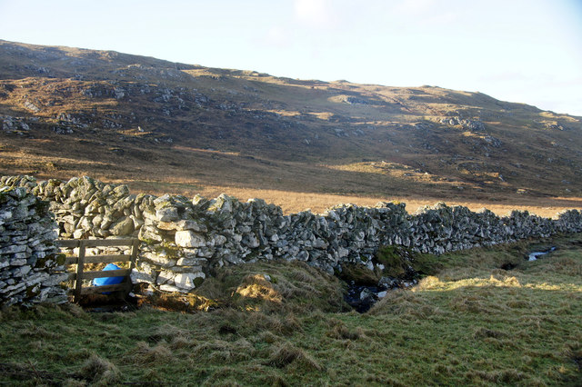
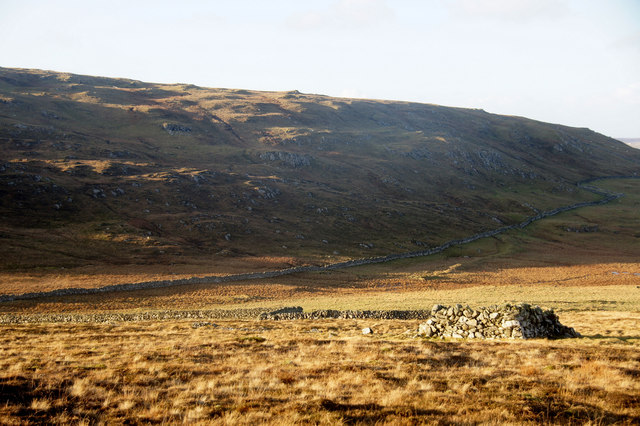
Urie Ness Images
Images are sourced within 2km of 60.628752/-0.9112188 or Grid Reference HU5994. Thanks to Geograph Open Source API. All images are credited.
Urie Ness is located at Grid Ref: HU5994 (Lat: 60.628752, Lng: -0.9112188)
Unitary Authority: Shetland Islands
Police Authority: Highlands and Islands
What 3 Words
///magnitude.piano.edits. Near Houbie, Shetland Islands
Nearby Locations
Related Wikis

Urie Lingey
For other islands with similar names, see Linga (disambiguation) Urie Lingey is one of the Shetland Islands. It is between Fetlar and Unst, and Yell is...

Hamars Ness
Hamars Ness is a headland on the island of Fetlar in Shetland, Scotland. The name is from the Old Norse Hamarsnes meaning "craggy headland". A ro-ro ferry...

Funzie Girt
Funzie Girt (; Scots: Funyie Girt "Finns' dyke") is an ancient dividing wall that was erected from north to south across the island of Fetlar in Shetland...

Brough Lodge
Brough Lodge is a 19th-century Gothic mansion on Fetlar, one of the Shetland Islands, in northern Scotland. Built by the Nicolson family, who were responsible...
Have you been to Urie Ness?
Leave your review of Urie Ness below (or comments, questions and feedback).