Wester Ayre of Urie
Beach in Shetland
Scotland
Wester Ayre of Urie
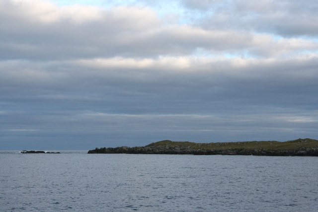
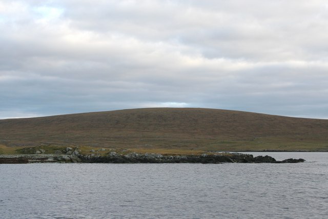
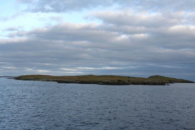
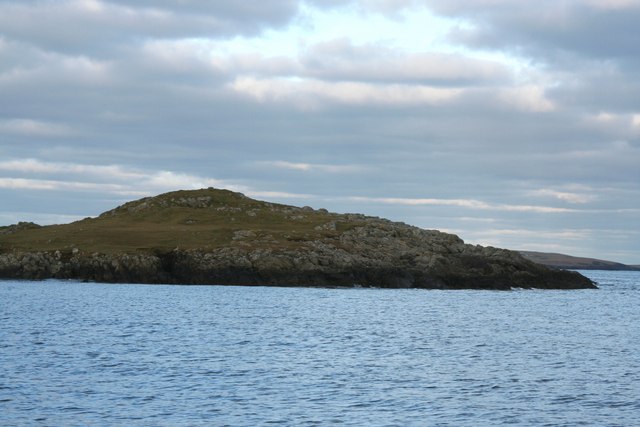
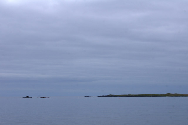
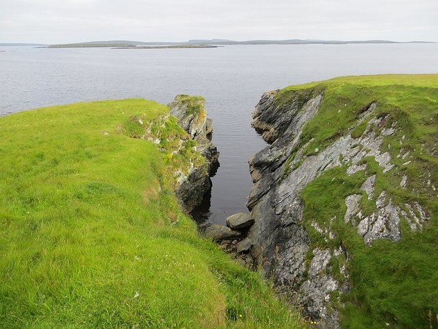
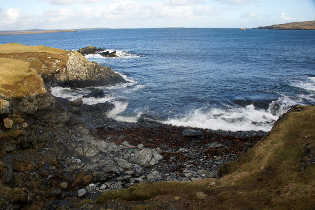
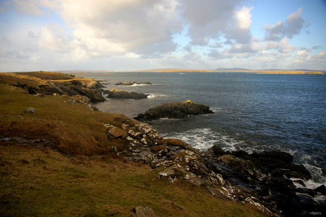
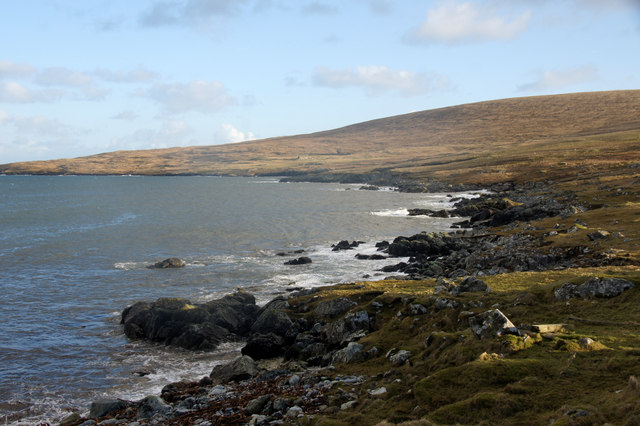
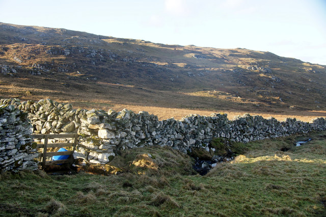
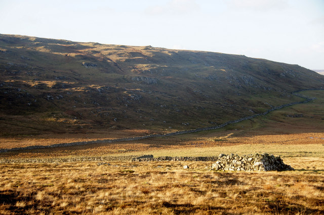
Wester Ayre of Urie is a picturesque beach located on the remote island of Shetland, Scotland. It is situated on the west coast of the island, offering stunning views of the North Atlantic Ocean. With its unspoiled beauty and rugged charm, Wester Ayre of Urie is a popular destination for locals and visitors alike.
This beach is known for its pristine white sands, which stretch for approximately 1.5 kilometers along the coastline. The sand is soft and fine, making it ideal for leisurely walks or relaxing sunbathing sessions. The crystal-clear turquoise waters provide a refreshing dip for those brave enough to venture in, although swimming is recommended for experienced sea swimmers due to the strong currents.
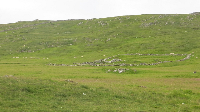
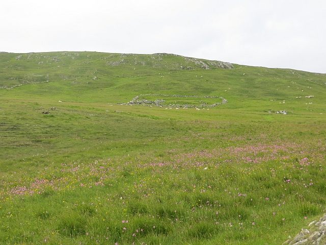
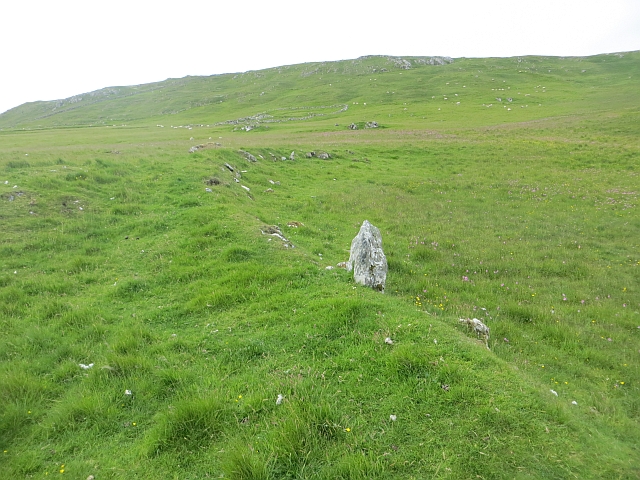
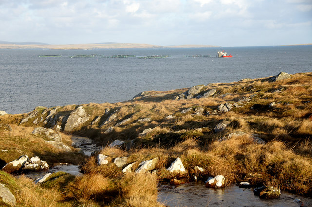
The surrounding natural landscape is characterized by rolling sand dunes and grassy cliffs, creating a unique and striking backdrop. Wildlife enthusiasts will appreciate the diverse range of seabirds that frequent the area, including puffins, guillemots, and fulmars.
Wester Ayre of Urie is a place of tranquility, perfect for those seeking solitude or a peaceful escape from the hustle and bustle of city life. Visitors can enjoy picnics on the beach, explore the nearby walking trails, or simply lie back and admire the breathtaking views.
Access to the beach is relatively easy, with a small car park available nearby. However, it is important to note that facilities such as toilets and shops are limited in the immediate vicinity, so visitors are advised to come prepared with food, water, and other essentials.
Overall, Wester Ayre of Urie is a hidden gem in Shetland, offering a serene and untouched coastal experience for nature lovers and beach enthusiasts.
If you have any feedback on the listing, please let us know in the comments section below.
Wester Ayre of Urie Images
Images are sourced within 2km of 60.62762/-0.9145102 or Grid Reference HU5994. Thanks to Geograph Open Source API. All images are credited.
Wester Ayre of Urie is located at Grid Ref: HU5994 (Lat: 60.62762, Lng: -0.9145102)
Unitary Authority: Shetland Islands
Police Authority: Highlands and Islands
What 3 Words
///exams.decimals.scorecard. Near Houbie, Shetland Islands
Nearby Locations
Related Wikis

Urie Lingey
For other islands with similar names, see Linga (disambiguation) Urie Lingey is one of the Shetland Islands. It is between Fetlar and Unst, and Yell is...

Hamars Ness
Hamars Ness is a headland on the island of Fetlar in Shetland, Scotland. The name is from the Old Norse Hamarsnes meaning "craggy headland". A ro-ro ferry...

Brough Lodge
Brough Lodge is a 19th-century Gothic mansion on Fetlar, one of the Shetland Islands, in northern Scotland. Built by the Nicolson family, who were responsible...

Funzie Girt
Funzie Girt (; Scots: Funyie Girt "Finns' dyke") is an ancient dividing wall that was erected from north to south across the island of Fetlar in Shetland...

Sound Gruney
For other islands with similar names, see Gruney (disambiguation) Sound Gruney is one of the Shetland islands. It lies about 1.5 kilometres (0.93 mi)...

Haltadans
Haltadans, also known as Fairy Ring or Haltadans stone circle, is a stone circle on the island of Fetlar in Shetland, Scotland. This site is a ring of...

Fetlar
Fetlar (Scots: Fetlar) is one of the North Isles of Shetland, Scotland, with a usually resident population of 61 at the time of the 2011 census. Its main...

Hascosay
Hascosay (Scots: Hascosay; Old Norse "Hafskotsey") is a small island lying between Yell and Fetlar in the Shetland Islands, Scotland. == Geography and... ==
Nearby Amenities
Located within 500m of 60.62762,-0.9145102Have you been to Wester Ayre of Urie?
Leave your review of Wester Ayre of Urie below (or comments, questions and feedback).