Cockle Point
Coastal Feature, Headland, Point in Shetland
Scotland
Cockle Point

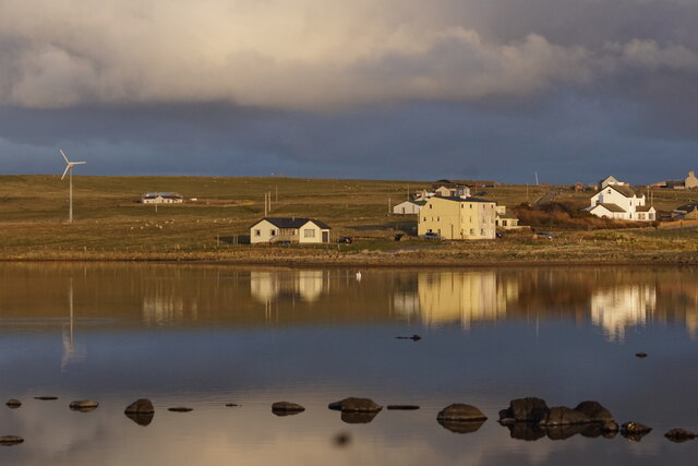
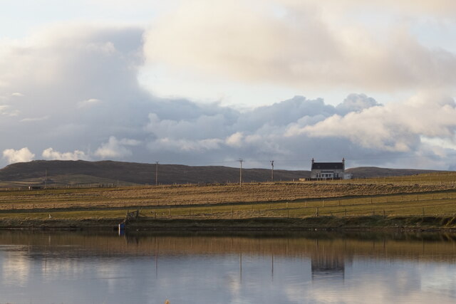
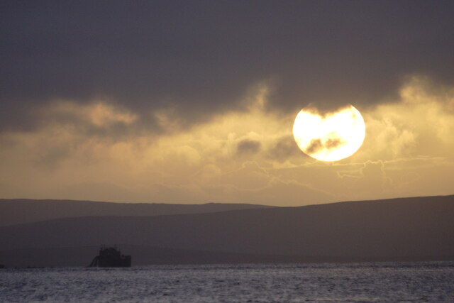
Cockle Point is a prominent headland located on the east coast of Shetland, an archipelago in Scotland. Situated near the village of Levenwick, this coastal feature is known for its rugged beauty and stunning views of the North Sea.
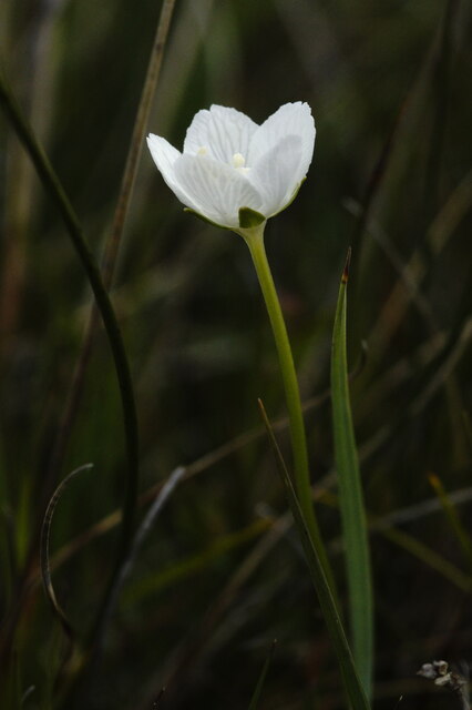
As a headland, Cockle Point juts out into the sea, forming a distinct and easily recognizable landmark. Its geographical location makes it susceptible to the powerful forces of the ocean, resulting in dramatic cliffs and rocky beaches. These cliffs, composed of weathered sandstone and shale, provide nesting sites for seabirds and are often adorned with colorful wildflowers during the summer months.
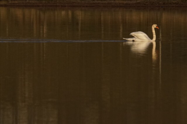
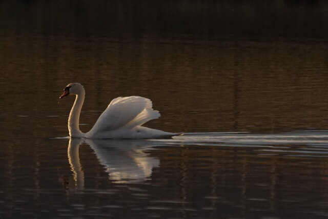
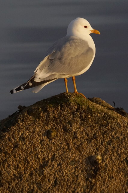
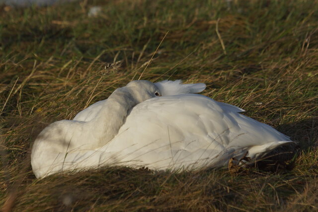
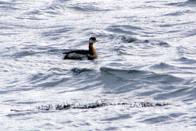
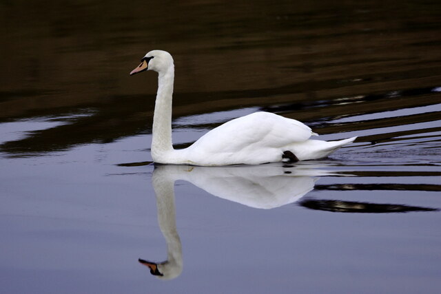
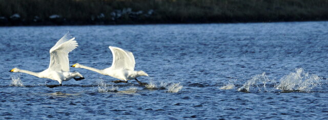
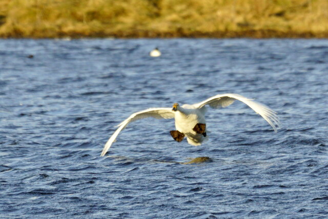
Cockle Point offers visitors the opportunity to witness the raw power of the sea, as waves crash against the rocky shoreline. The headland also serves as a vantage point for observing marine wildlife, including seals, otters, and various seabird species such as puffins and gannets.
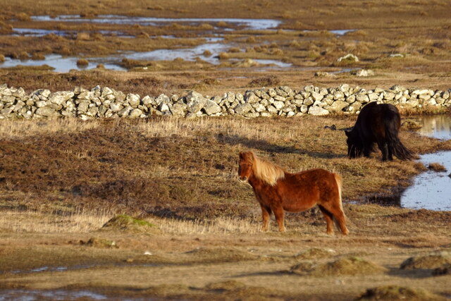
Accessing Cockle Point is relatively easy, with a well-maintained footpath leading from Levenwick to the headland. Along the way, walkers can enjoy the picturesque coastal scenery, which includes small coves and sandy beaches. The path also offers panoramic views of the surrounding countryside, including rolling hills and grazing sheep.
Overall, Cockle Point is a must-visit destination for nature enthusiasts and those seeking a glimpse of Scotland's wild coastline. Its rugged beauty, diverse wildlife, and accessible location make it an ideal spot for outdoor exploration and appreciation of Shetland's natural heritage.
If you have any feedback on the listing, please let us know in the comments section below.
Cockle Point Images
Images are sourced within 2km of 60.685877/-0.90588375 or Grid Reference HP5900. Thanks to Geograph Open Source API. All images are credited.

Cockle Point is located at Grid Ref: HP5900 (Lat: 60.685877, Lng: -0.90588375)
Unitary Authority: Shetland Islands
Police Authority: Highlands and Islands
What 3 Words
///ballooned.heave.snails. Near Uyeasound, Shetland Islands
Nearby Locations
Related Wikis

Clivocast
Clivocast is a settlement on the island of Unst in the Shetland Islands, Scotland at 60.67°N 00.90°W / 60.67; -00.90 or grid reference HP6000 and is situated...

Uyeasound
Uyeasound is a village on the Isle of Unst, the northernmost island of the Shetland Islands, Scotland. It takes its name from the neighbouring strait of...

Mailand, Shetland
Mailand is a hamlet in the Shetland Islands. It is on the island of Unst, the northernmost of the inhabited British Isles, near its southern coast. �...
Uyea, Unst
Uyea (Scots: Uyea) is an uninhabited island, lying south of Unst in Shetland, Scotland. == History == The island was inhabited as early as the Bronze Age...

Muness Castle
Muness Castle is located on Unst, which is one of the Shetland Islands of Scotland. The castle is 3 kilometres (1.9 mi) east of the village of Uyeasound...

Belmont, Shetland
Belmont is a settlement and ferry terminal in southern Unst in the Shetland Islands. The ferry crosses from here to Gutcher in Yell and to Hamars Ness...
Belmont House, Shetland
Belmont House is a neo classical Georgian Country House Estate on the island of Unst, the most northerly of the Shetland Islands, [United Kingdom] and...

Sound Gruney
For other islands with similar names, see Gruney (disambiguation) Sound Gruney is one of the Shetland islands. It lies about 1.5 kilometres (0.93 mi)...
Nearby Amenities
Located within 500m of 60.685877,-0.90588375Have you been to Cockle Point?
Leave your review of Cockle Point below (or comments, questions and feedback).