Bareside Point
Coastal Feature, Headland, Point in Kincardineshire
Scotland
Bareside Point
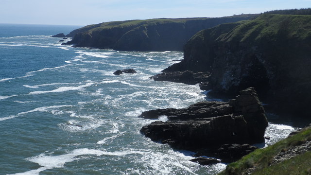
Bareside Point is a prominent coastal feature located in Kincardineshire, Scotland. Situated on the eastern coast of the country, this headland juts out into the North Sea, offering breathtaking views and natural beauty.
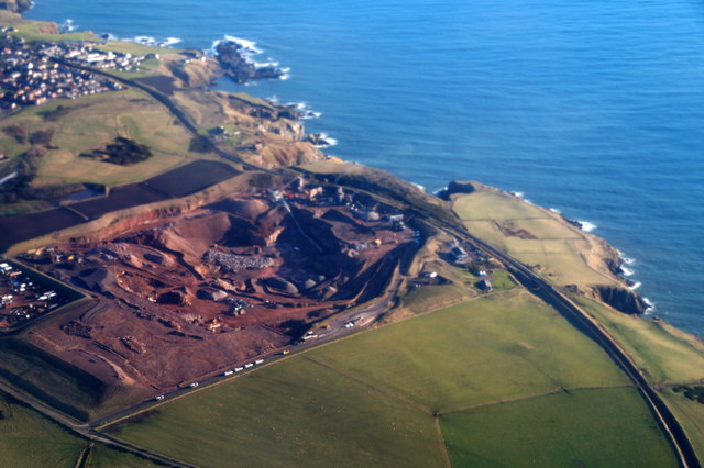
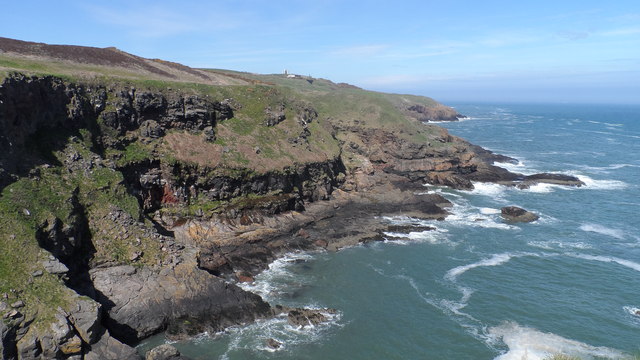
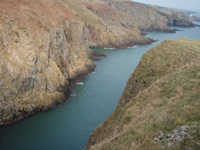
The point itself is characterized by its rugged cliffs, which rise steeply from the shoreline, creating a dramatic and picturesque landscape. These cliffs are formed from layers of sedimentary rock, showcasing the region's geological history. The area is also known for its unique rock formations, including caves and sea stacks, which have been shaped by the relentless force of the waves.
Bareside Point is a popular destination for nature enthusiasts and hikers, who are drawn to its scenic trails and abundant wildlife. The headland is home to a variety of bird species, including gannets, fulmars, and puffins, making it a haven for birdwatching. Visitors may also spot seals and dolphins swimming in the waters below, adding to the area's natural charm.
The surrounding coastal waters are rich in marine life, making Bareside Point an ideal spot for fishing and diving. The diverse underwater ecosystem supports a wide range of species, including colorful fish, crustaceans, and kelp forests.
Due to its exposed location, Bareside Point can experience strong winds and rough seas, adding to its wild and untamed atmosphere. However, despite its remote and rugged nature, the headland is easily accessible via a well-maintained footpath, allowing visitors to explore and appreciate its natural wonders.
Overall, Bareside Point is a captivating coastal feature, offering a mix of stunning landscapes, diverse wildlife, and opportunities for outdoor activities. It is a true gem of Kincardineshire, attracting nature lovers and adventurers alike.
If you have any feedback on the listing, please let us know in the comments section below.
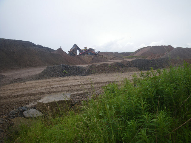
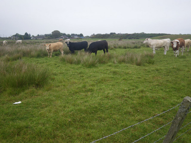
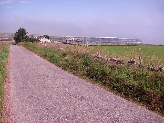
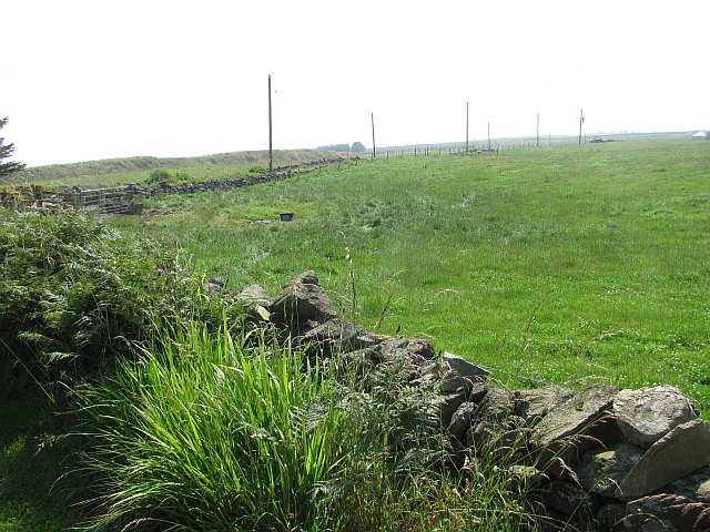
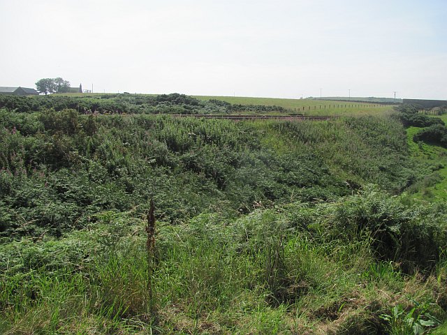
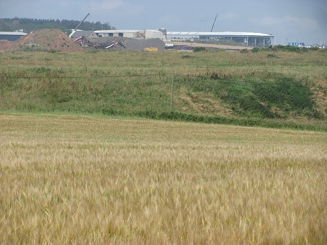
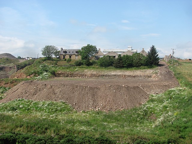
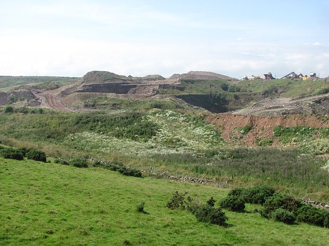
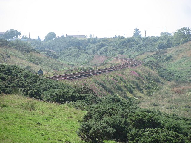
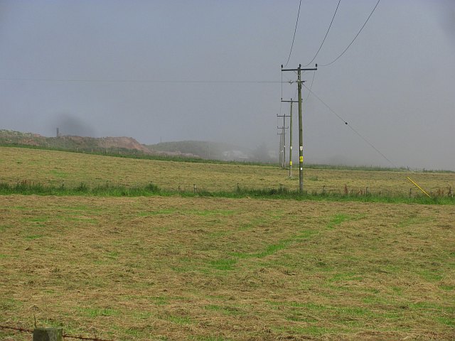
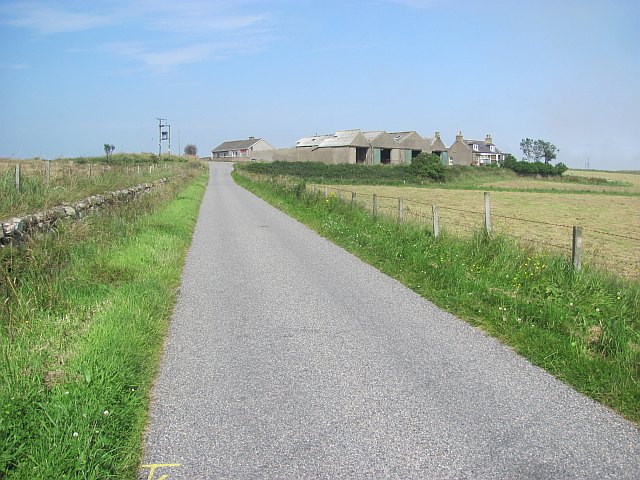
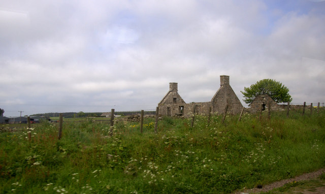
Bareside Point Images
Images are sourced within 2km of 57.083426/-2.0875205 or Grid Reference NO9499. Thanks to Geograph Open Source API. All images are credited.
Bareside Point is located at Grid Ref: NO9499 (Lat: 57.083426, Lng: -2.0875205)
Unitary Authority: Aberdeenshire
Police Authority: North East
What 3 Words
///shape.track.worker. Near Cove, Aberdeen
Nearby Locations
Related Wikis
Hare Ness
Hare Ness is a headland landform along the North Sea coastline a few miles south of Aberdeen, Scotland. == History == Hare Ness is situated several kilometres...

Findon, Aberdeenshire
Findon (Gaelic: Fionndan, Scots: Finnan) is a fishing village eight miles south of Aberdeen, famous for originating the smoked haddock known as Finnan...
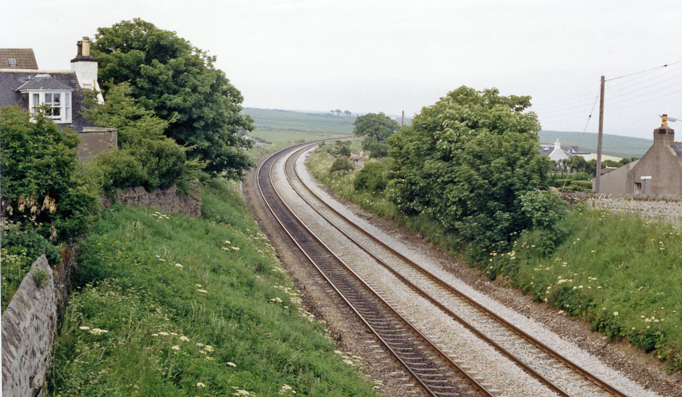
Cove Bay railway station
Cove Bay railway station served the suburb of Cove Bay, Aberdeen, Scotland from 1850 to 1956 on the Aberdeen Railway. == History == The station opened...

St Mary's Church, Cove Bay
St Mary the Virgin (Cove Bay) is an Episcopal Church in Cove Bay, Aberdeen, Scotland. It is part of the Diocese of Aberdeen and Orkney in the Scottish...

Cove Bay
Cove Bay, known locally as Cove, is a suburb on the south-east edge of Aberdeen, Scotland. Today Cove is home to around 8,000 people. It is a popular residential...

Aberdeen South (UK Parliament constituency)
Aberdeen South is a burgh constituency of the House of Commons of the Parliament of the United Kingdom and it elects one Member of Parliament (MP) by the...
Lochside Academy
Lochside Academy is a co-educational secondary school in Altens, Aberdeen, run by Aberdeen City Council. Its feeder primary schools are Abbotswell School...

Portlethen Village
Portlethen Village is a settlement located to the east of Portlethen along the North Sea coast in Aberdeenshire, Scotland. The village is also known as...
Nearby Amenities
Located within 500m of 57.083426,-2.0875205Have you been to Bareside Point?
Leave your review of Bareside Point below (or comments, questions and feedback).