Horse Shoe
Cliff, Slope in Kincardineshire
Scotland
Horse Shoe
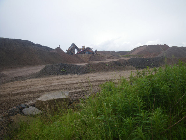
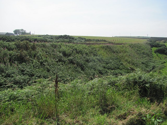
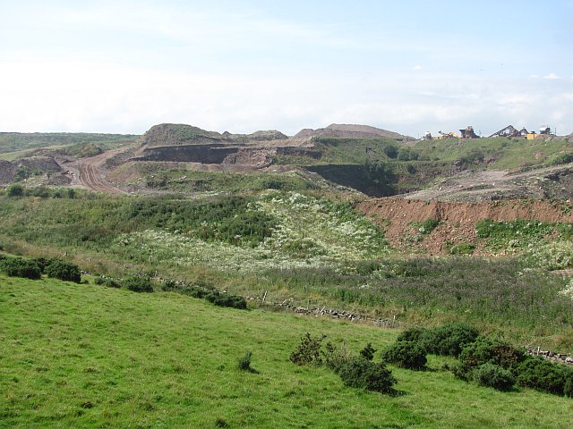
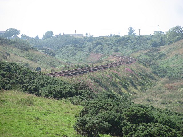
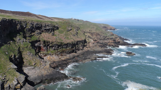
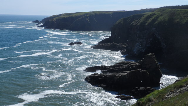
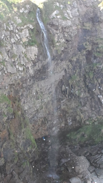
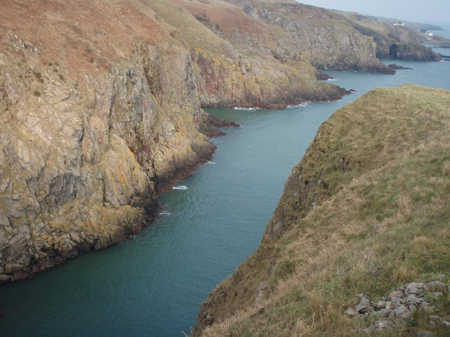
Horse Shoe is a small cliff located in Kincardineshire, Scotland. It is situated on the coast, overlooking the North Sea. The cliff is known for its distinctive horseshoe shape, which gives it its name. The geological formation of the cliff is characterized by layers of sedimentary rock, mainly sandstone, which have been eroded over time by the relentless action of waves and weathering.
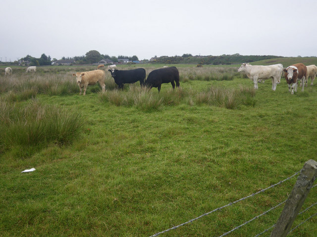
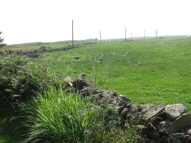
The cliff face has a steep slope, measuring approximately 100 meters in height. The slope is covered in lush vegetation, including grasses, shrubs, and wildflowers, which adds to the beauty of the landscape. The vegetation provides habitat and food sources for various bird species, such as gulls and fulmars, that nest on the cliff.
Horse Shoe is a popular destination for hikers and nature enthusiasts, who are drawn to its breathtaking views and the opportunity to observe the local wildlife. The cliff offers panoramic vistas of the surrounding coastline and the vast expanse of the North Sea. Visitors can also explore the area's diverse flora and fauna, including rare plant species that thrive in the unique coastal environment.
Due to its location on the coast, Horse Shoe is subject to erosion from the constant battering of waves. Therefore, caution is advised when approaching the cliff, and visitors are encouraged to stay on designated paths and follow safety guidelines.
In conclusion, Horse Shoe in Kincardineshire is a remarkable natural feature, renowned for its horseshoe-shaped cliff and stunning views. It offers a glimpse into the region's geological history and provides a sanctuary for a variety of plant and animal life.
If you have any feedback on the listing, please let us know in the comments section below.
Horse Shoe Images
Images are sourced within 2km of 57.08569/-2.0872783 or Grid Reference NO9499. Thanks to Geograph Open Source API. All images are credited.

Horse Shoe is located at Grid Ref: NO9499 (Lat: 57.08569, Lng: -2.0872783)
Unitary Authority: Aberdeenshire
Police Authority: North East
What 3 Words
///town.mess.twice. Near Cove, Aberdeen
Nearby Locations
Related Wikis
Hare Ness
Hare Ness is a headland landform along the North Sea coastline a few miles south of Aberdeen, Scotland. == History == Hare Ness is situated several kilometres...
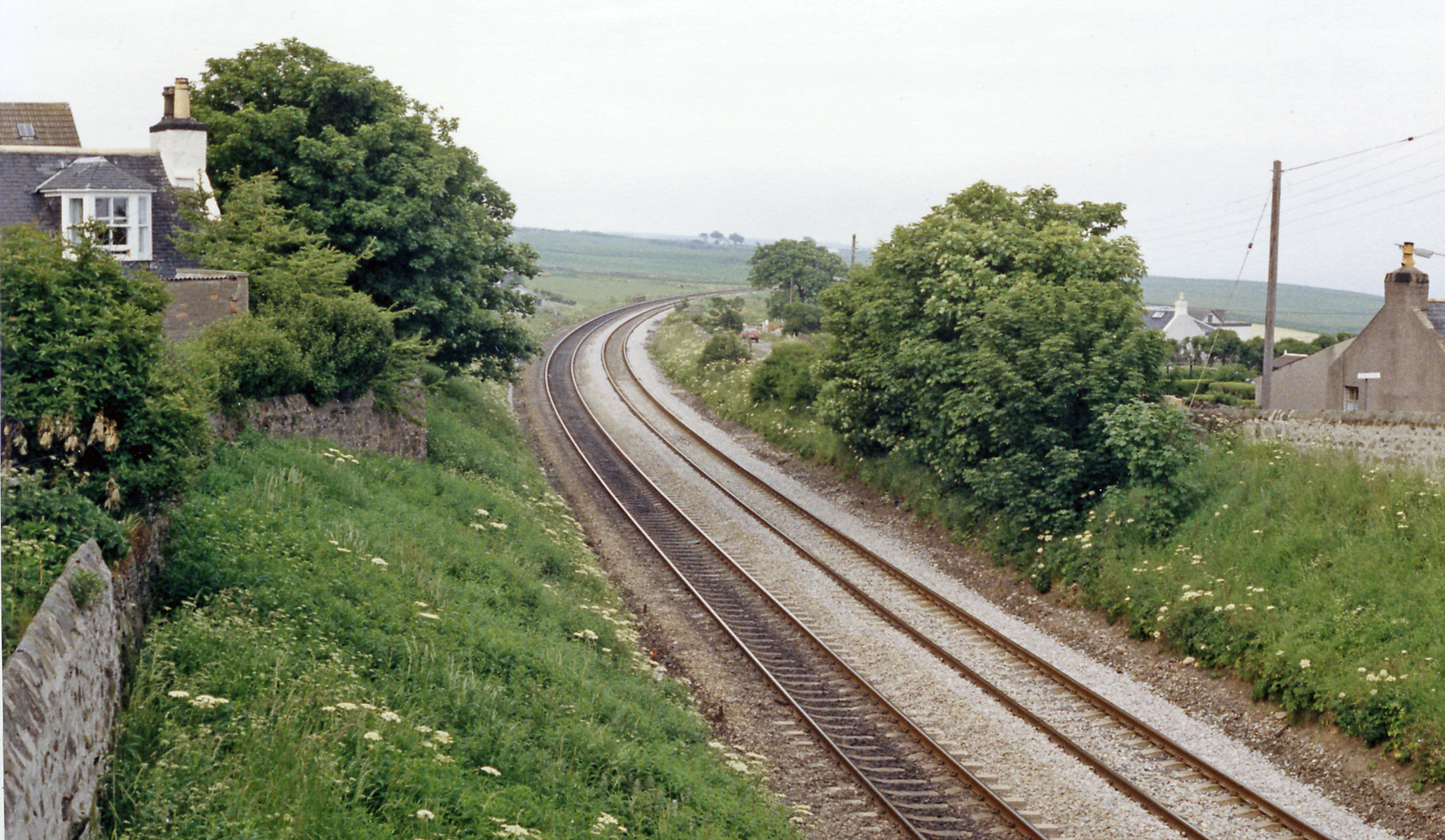
Cove Bay railway station
Cove Bay railway station served the suburb of Cove Bay, Aberdeen, Scotland from 1850 to 1956 on the Aberdeen Railway. == History == The station opened...

St Mary's Church, Cove Bay
St Mary the Virgin (Cove Bay) is an Episcopal Church in Cove Bay, Aberdeen, Scotland. It is part of the Diocese of Aberdeen and Orkney in the Scottish...

Findon, Aberdeenshire
Findon (Gaelic: Fionndan, Scots: Finnan) is a fishing village eight miles south of Aberdeen, famous for originating the smoked haddock known as Finnan...
Nearby Amenities
Located within 500m of 57.08569,-2.0872783Have you been to Horse Shoe?
Leave your review of Horse Shoe below (or comments, questions and feedback).