Black Hill
Hill, Mountain in Kincardineshire
Scotland
Black Hill
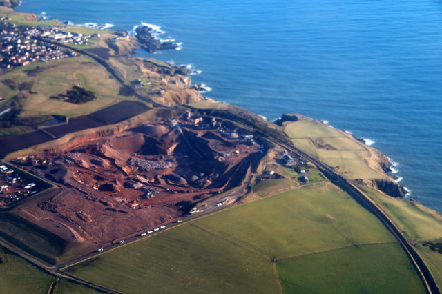
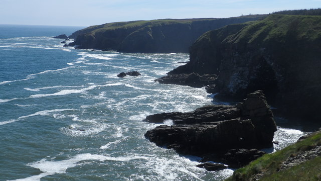
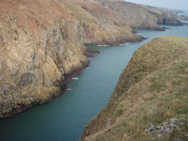
Black Hill is a prominent hill located in the region of Kincardineshire, Scotland. Rising to an elevation of approximately 390 meters (1,280 feet), it is known for its distinctive shape and stunning panoramic views of the surrounding countryside. The hill is situated within the Cairn O' Mount range, which is renowned for its rugged beauty and is a popular destination for outdoor enthusiasts.
Black Hill is composed primarily of granite, giving it a rocky and craggy appearance. Its slopes are covered with heather and grass, providing habitat for a variety of plant and animal species. The hill is also home to a diverse range of birdlife, making it a haven for birdwatchers and nature lovers.
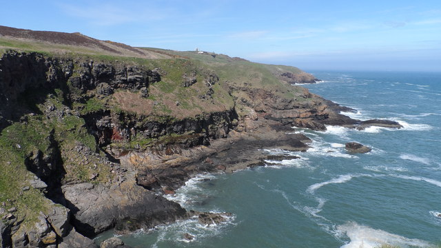
A well-defined path leads to the summit of Black Hill, making it accessible to hikers and walkers of various abilities. The ascent offers breathtaking views of the rolling hills, picturesque valleys, and distant mountains. On a clear day, it is possible to see as far as the North Sea and the city of Aberdeen.
At the summit, there is a small cairn, a traditional Scottish stone monument, marking the highest point of the hill. Many visitors choose to pause here and take in the awe-inspiring vistas before descending.
Black Hill is not only a popular location for outdoor recreation but also holds historical significance. It is believed that the hill was once used as a beacon site to communicate important messages across the region.
Overall, Black Hill in Kincardineshire is a captivating natural landmark, offering both physical challenges and stunning scenery to those who venture to its summit.
If you have any feedback on the listing, please let us know in the comments section below.
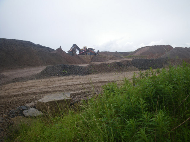
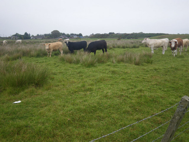
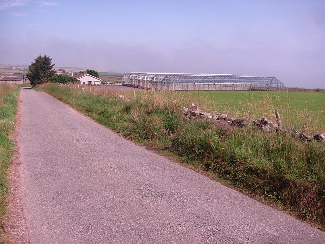
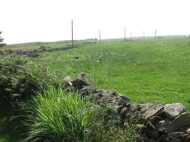
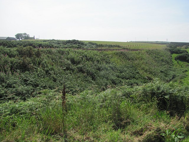
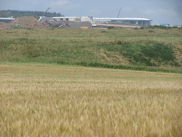
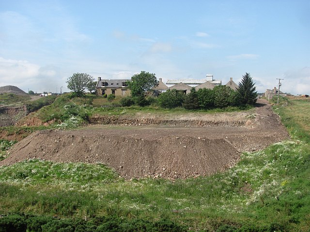
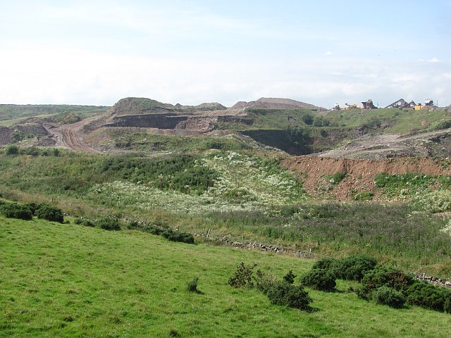
Black Hill Images
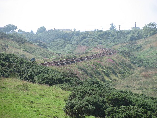
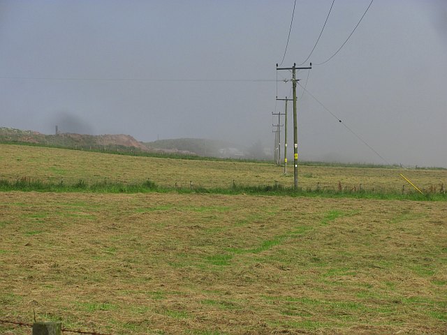
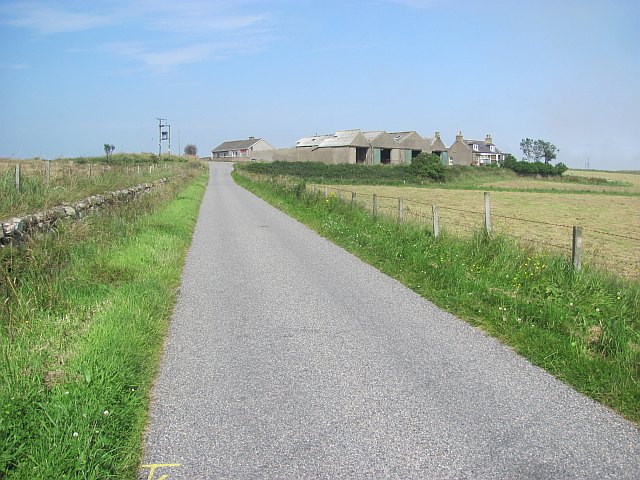
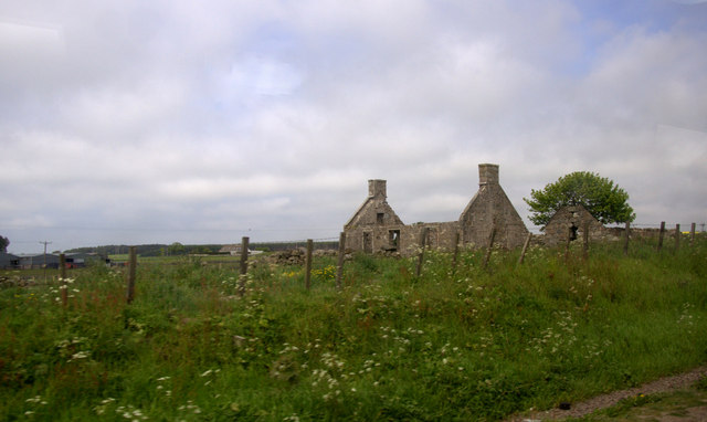
Images are sourced within 2km of 57.090194/-2.0944173 or Grid Reference NO9499. Thanks to Geograph Open Source API. All images are credited.
Black Hill is located at Grid Ref: NO9499 (Lat: 57.090194, Lng: -2.0944173)
Unitary Authority: City of Aberdeen
Police Authority: North East
What 3 Words
///basic.tiger.area. Near Cove, Aberdeen
Nearby Locations
Related Wikis
Hare Ness
Hare Ness is a headland landform along the North Sea coastline a few miles south of Aberdeen, Scotland. == History == Hare Ness is situated several kilometres...
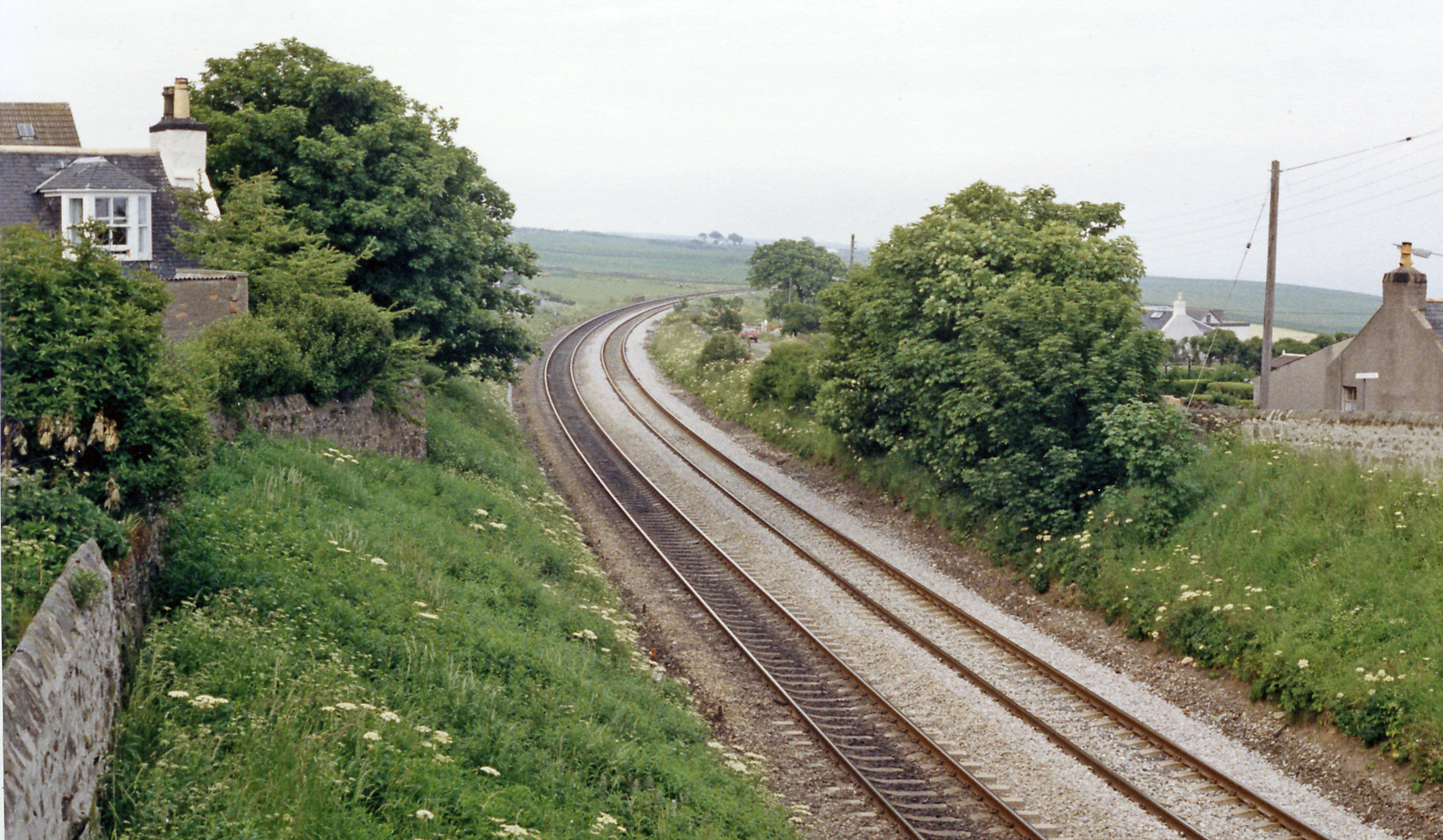
Cove Bay railway station
Cove Bay railway station served the suburb of Cove Bay, Aberdeen, Scotland from 1850 to 1956 on the Aberdeen Railway. == History == The station opened...

St Mary's Church, Cove Bay
St Mary the Virgin (Cove Bay) is an Episcopal Church in Cove Bay, Aberdeen, Scotland. It is part of the Diocese of Aberdeen and Orkney in the Scottish...

Cove Bay
Cove Bay, known locally as Cove, is a suburb on the south-east edge of Aberdeen, Scotland. Today Cove is home to around 8,000 people. It is a popular residential...
Nearby Amenities
Located within 500m of 57.090194,-2.0944173Have you been to Black Hill?
Leave your review of Black Hill below (or comments, questions and feedback).