The Rock
Hill, Mountain in Lancashire
England
The Rock
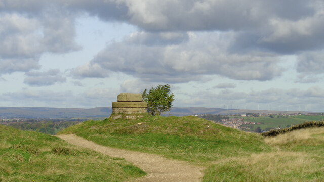
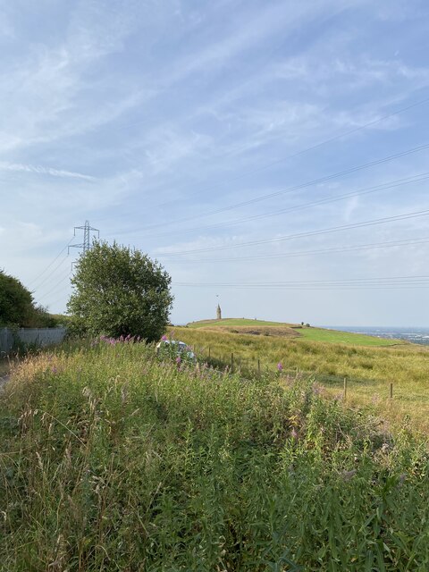
The Rock is a prominent hill located in the county of Lancashire, England. Rising to an elevation of approximately 1,300 feet (400 meters), it is often referred to as The Rock, Lancashire or simply The Rock. Situated near the town of Bury, The Rock offers breathtaking panoramic views of the surrounding landscape, making it a popular destination for outdoor enthusiasts and nature lovers.
Covered in lush greenery, The Rock is home to a diverse range of flora and fauna. The hill is adorned with a variety of plant species, including heather, grasses, and wildflowers, creating a picturesque setting. It also provides a habitat for various wildlife such as birds, rabbits, and deer, making it a haven for nature enthusiasts.
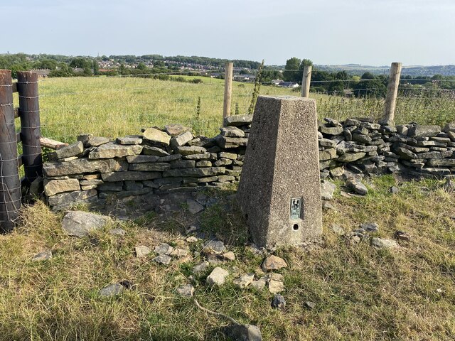
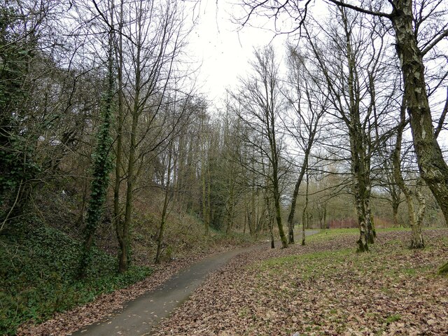
The Rock offers several walking trails and footpaths, allowing visitors to explore its scenic beauty and enjoy leisurely hikes. The paths are well-maintained and suitable for all levels of fitness, making it accessible to a wide range of visitors. At the summit, visitors are rewarded with stunning views of the surrounding countryside, including picturesque valleys and distant hills.
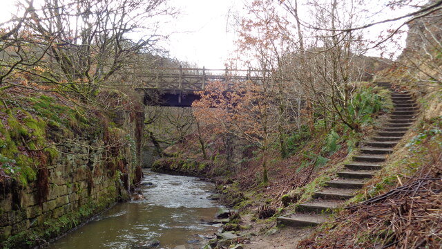
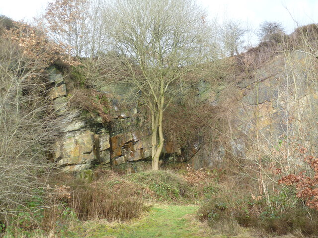
In addition to its natural beauty, The Rock has historical significance. It is believed to have been used as a settlement site in ancient times due to its strategic location. The hill also played a role during the Industrial Revolution, with evidence of quarrying activities in the area.
Overall, The Rock, Lancashire is a captivating natural landmark that offers a delightful blend of natural beauty, recreational activities, and historical significance.
If you have any feedback on the listing, please let us know in the comments section below.
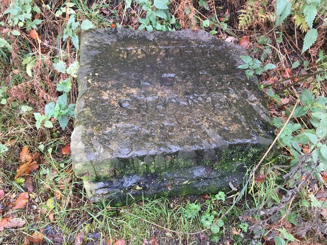
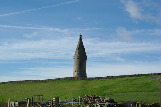
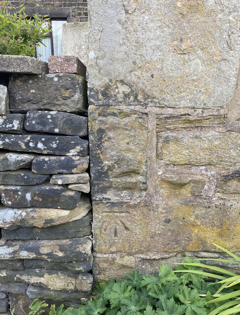
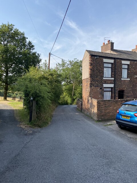
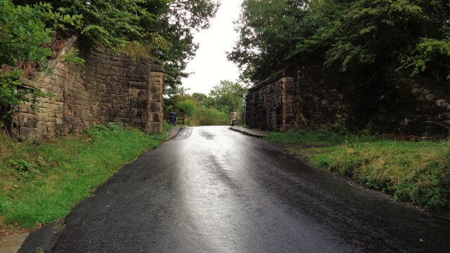
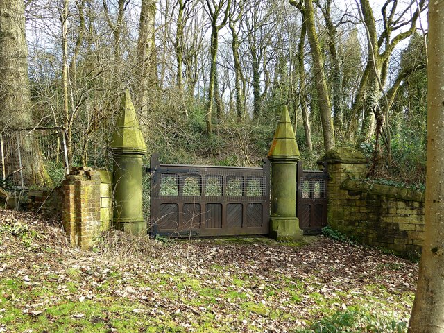
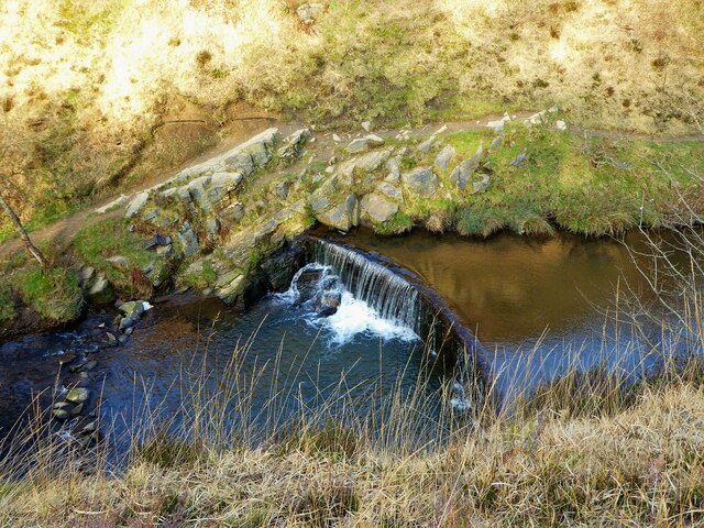
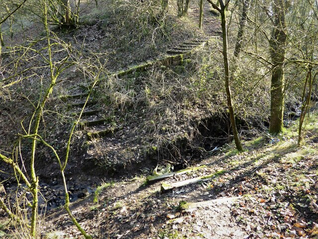
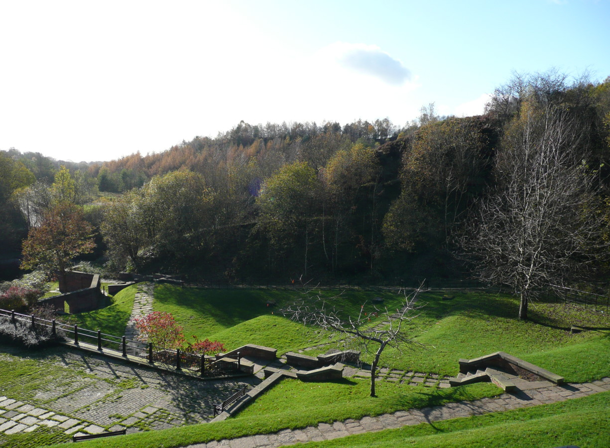
The Rock Images
Images are sourced within 2km of 53.520948/-2.0862489 or Grid Reference SD9402. Thanks to Geograph Open Source API. All images are credited.


The Rock is located at Grid Ref: SD9402 (Lat: 53.520948, Lng: -2.0862489)
Unitary Authority: Oldham
Police Authority: Greater Manchester
What 3 Words
///canny.logs.unfair. Near Oldham, Manchester
Nearby Locations
Related Wikis
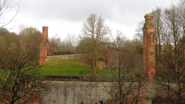
Park Bridge
Park Bridge is an area of Ashton-under-Lyne, in the Metropolitan Borough of Tameside, in Greater Manchester, England. It is situated in the Medlock Valley...

Park Bridge railway station
Park Bridge Railway Station was a railway station on the Oldham, Ashton-under-Lyne and Guide Bridge Junction Railway (OA&GB) that served the village of...

Alt, Greater Manchester
Alt is a semi-rural and suburban area lying on the borders of the towns of Oldham and Ashton-under-Lyne in Greater Manchester. Alt was formerly a civil...

Abbey Hills
Abbey Hills (archaically Wabbow Hills) is an area of Oldham in Greater Manchester. It is contiguous with Glodwick and Alt. Lying on the eastern border...
Nearby Amenities
Located within 500m of 53.520948,-2.0862489Have you been to The Rock?
Leave your review of The Rock below (or comments, questions and feedback).