Sillock Geo
Coastal Feature, Headland, Point in Orkney
Scotland
Sillock Geo
Sillock Geo is a prominent coastal feature located on the island of Orkney, situated off the northeastern coast of Scotland. It is specifically classified as a headland or point, characterized by its distinctive formation and geographical features.
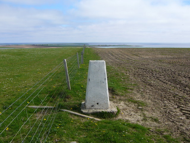
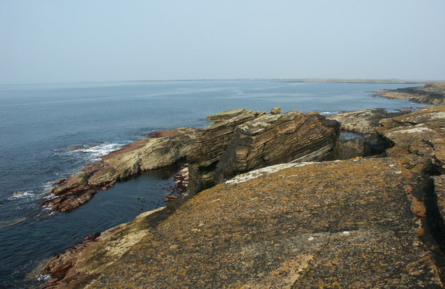
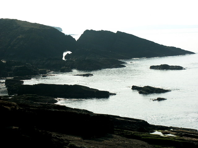
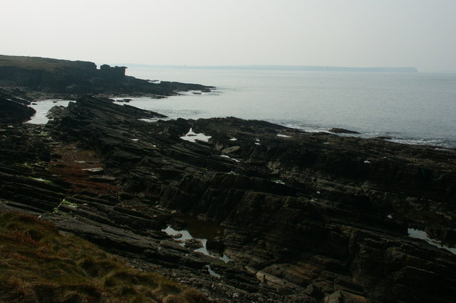
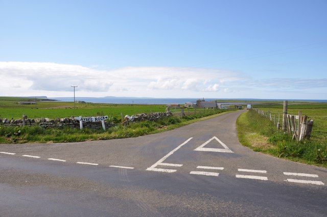
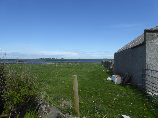
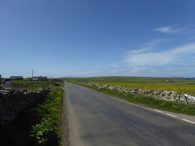
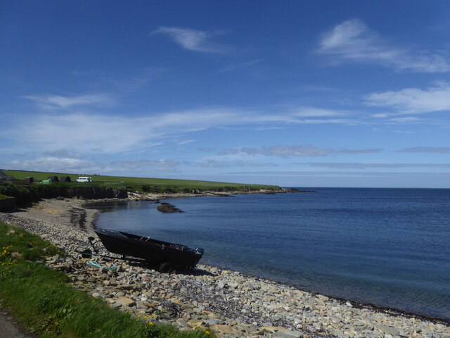
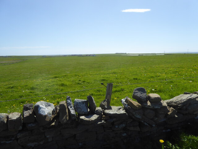
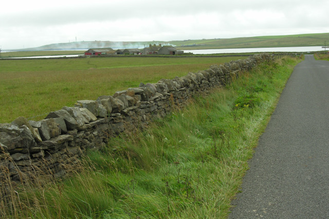
Sillock Geo is situated on the eastern coast of Orkney Mainland, near the village of St. Margaret's Hope. The headland is composed of rugged cliffs that jut out into the North Sea, offering breathtaking views of the surrounding coastline and the vast expanse of the ocean. The cliffs are primarily composed of sandstone, creating a unique and picturesque landscape that is popular among nature enthusiasts and photographers.
The headland is known for its diverse wildlife and is a designated area of conservation. It is home to various seabird colonies, including puffins, guillemots, and razorbills, which nest on the cliffs during the breeding season. These colonies make Sillock Geo a significant site for birdwatching and bird conservation.
In addition to its natural beauty, Sillock Geo also holds historical significance. It is believed to have been inhabited by humans since ancient times, with archaeological remains indicating human activity in the area, including the remains of a Neolithic settlement nearby. These archaeological sites contribute to the rich cultural heritage of Orkney and attract visitors interested in exploring its history.
Overall, Sillock Geo stands as a remarkable coastal feature on Orkney Mainland, offering a combination of stunning natural scenery, diverse wildlife, and historical significance. Whether it is for appreciating the rugged cliffs, observing seabird colonies, or exploring the ancient archaeological sites, Sillock Geo is a must-visit destination for those seeking to immerse themselves in the beauty and history of Orkney.
If you have any feedback on the listing, please let us know in the comments section below.
Sillock Geo Images
Images are sourced within 2km of 59.256665/-2.6121642 or Grid Reference HY6541. Thanks to Geograph Open Source API. All images are credited.

Sillock Geo is located at Grid Ref: HY6541 (Lat: 59.256665, Lng: -2.6121642)
Unitary Authority: Orkney Islands
Police Authority: Highlands and Islands
What 3 Words
///hacksaw.troubled.boating. Near Kettletoft, Orkney Islands
Nearby Locations
Related Wikis

Broughtown
Broughtown is a village on the island of Sanday, in Orkney, Scotland. The settlement is within the parish of Cross and Burness. Sanday Airport is adjacent...

Sanday Airport
Sanday Airport (IATA: NDY, ICAO: EGES) is located 20 NM (37 km; 23 mi) north northeast of Kirkwall Airport on Sanday, Orkney Islands, Scotland. Sanday...

Kettletoft
Kettletoft is a settlement on the island of Sanday in Orkney, Scotland. The B9068 road runs from Kettletoft to Scar and the B9069 from Kettletoft to Northwall...

Sanday, Orkney
Sanday (, Scots: Sandee) is one of the inhabited islands of Orkney that lies off the north coast of mainland Scotland. With an area of 50.43 km2 (19.5...

Scar, Orkney
Scar is a village and farm complex on the island of Sanday in Orkney, Scotland. The B9068 road runs from Scar to Kettletoft. The Scar boat burial was found...

Scar boat burial
The Scar boat burial is a Viking boat burial near the village of Scar, on Sanday, in Orkney, Scotland. The burial, which dates to between 875 and 950 AD...

East Sanday Coast
The East Sanday Coast is a protected wetland area on and around the island of Sanday, the third-largest of the Orkney islands off the north coast of Scotland...

Braeswick
Braeswick is a settlement on the island of Sanday, in Orkney, Scotland. The settlement is within the parish of Cross and Burness, and is situated on the...
Nearby Amenities
Located within 500m of 59.256665,-2.6121642Have you been to Sillock Geo?
Leave your review of Sillock Geo below (or comments, questions and feedback).