Bay of Brough
Bay in Orkney
Scotland
Bay of Brough
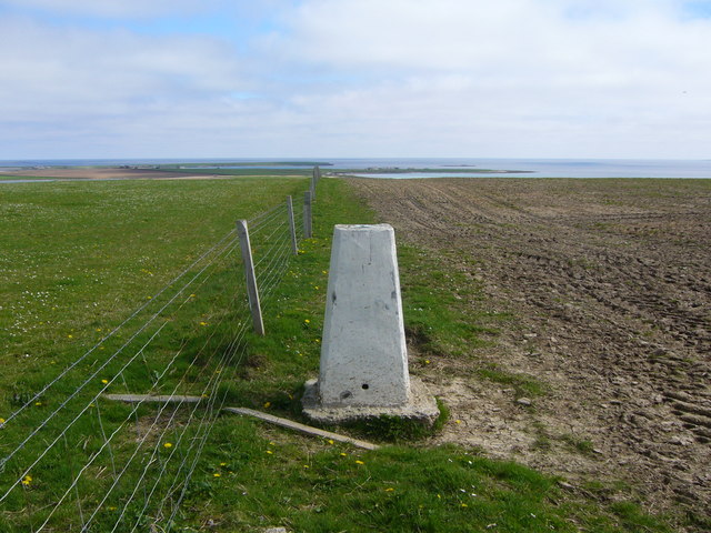
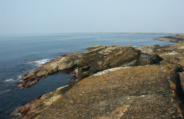
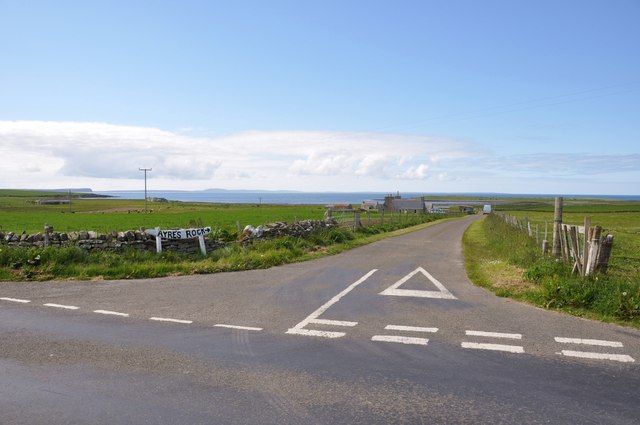
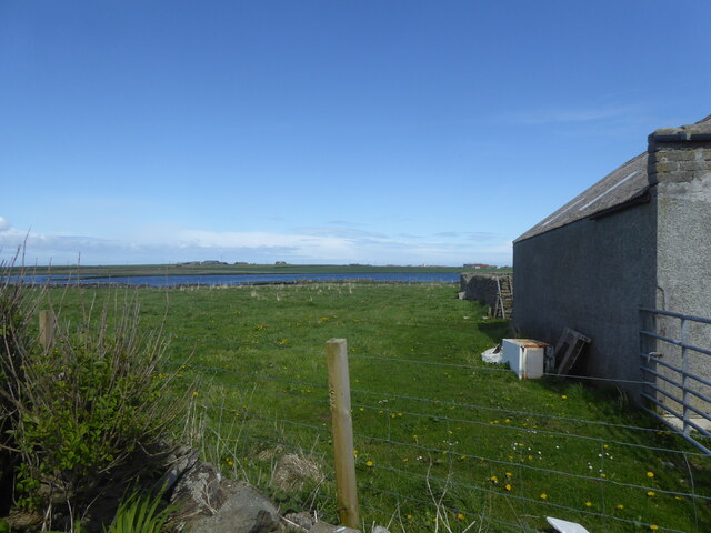
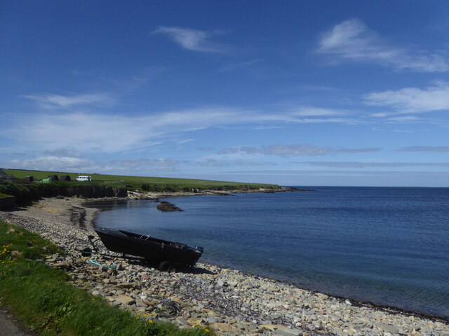
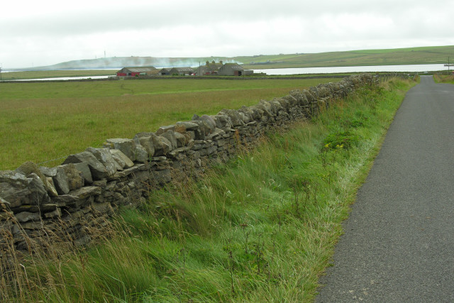
The Bay of Brough is a picturesque coastal location situated on the island of Birsay in Orkney, Scotland. It is known for its stunning natural beauty and rich historical significance. The bay is located on the northwest coast of the island and offers breathtaking views of the North Atlantic Ocean.
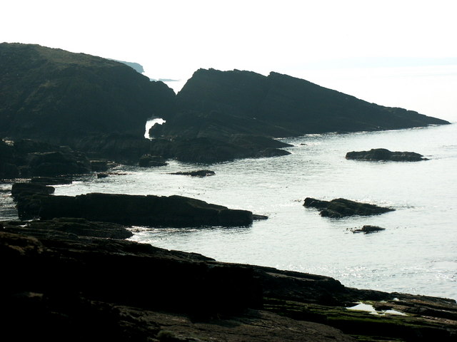
The Bay of Brough is characterized by its rugged cliffs, sandy beaches, and crystal-clear waters. The coastline is dotted with fascinating rock formations, including sea stacks and caves, which add to its unique charm. The bay is also home to a diverse range of marine and birdlife, making it a popular spot for wildlife enthusiasts and birdwatchers.
One of the most remarkable features of the Bay of Brough is the Brough of Birsay, a small tidal island that can be accessed by a causeway during low tide. This ancient settlement was once an important center of political and religious activity in Orkney, and its ruins still stand as a testament to its historical significance. Visitors can explore the remains of a Norse settlement, including a well-preserved Viking-era church and a Pictish stone.
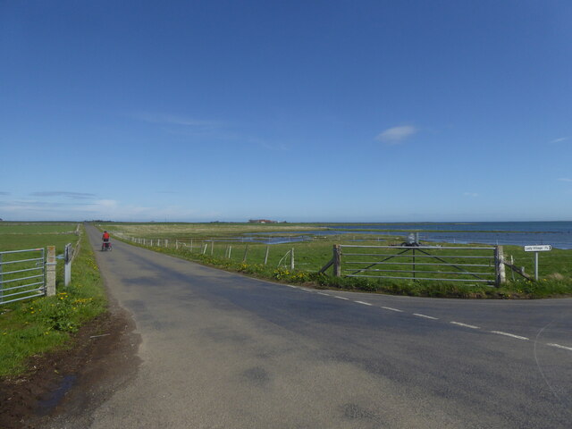
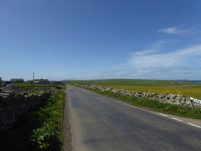
The Bay of Brough is a haven for outdoor activities such as hiking, picnicking, and photography. Its tranquil surroundings and stunning vistas make it an ideal place for relaxation and nature appreciation. Whether it is exploring the historical ruins, taking a leisurely stroll along the beach, or simply enjoying the peaceful ambiance, the Bay of Brough offers a truly memorable experience for all who visit.
If you have any feedback on the listing, please let us know in the comments section below.
Bay of Brough Images
Images are sourced within 2km of 59.262146/-2.6096141 or Grid Reference HY6541. Thanks to Geograph Open Source API. All images are credited.
Bay of Brough is located at Grid Ref: HY6541 (Lat: 59.262146, Lng: -2.6096141)
Unitary Authority: Orkney Islands
Police Authority: Highlands and Islands
What 3 Words
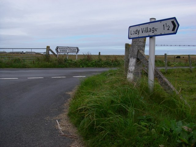
///thumps.belly.basics. Near Kettletoft, Orkney Islands
Nearby Locations
Related Wikis

Broughtown
Broughtown is a village on the island of Sanday, in Orkney, Scotland. The settlement is within the parish of Cross and Burness. Sanday Airport is adjacent...

Sanday Airport
Sanday Airport (IATA: NDY, ICAO: EGES) is located 20 NM (37 km; 23 mi) north northeast of Kirkwall Airport on Sanday, Orkney Islands, Scotland. Sanday...

Sanday, Orkney
Sanday (, Scots: Sandee) is one of the inhabited islands of Orkney that lies off the north coast of mainland Scotland. With an area of 50.43 km2 (19.5...

Kettletoft
Kettletoft is a settlement on the island of Sanday in Orkney, Scotland. The B9068 road runs from Kettletoft to Scar and the B9069 from Kettletoft to Northwall...

Scar, Orkney
Scar is a village and farm complex on the island of Sanday in Orkney, Scotland. The B9068 road runs from Scar to Kettletoft. The Scar boat burial was found...

Scar boat burial
The Scar boat burial is a Viking boat burial near the village of Scar, on Sanday, in Orkney, Scotland. The burial, which dates to between 875 and 950 AD...

East Sanday Coast
The East Sanday Coast is a protected wetland area on and around the island of Sanday, the third-largest of the Orkney islands off the north coast of Scotland...

Braeswick
Braeswick is a settlement on the island of Sanday, in Orkney, Scotland. The settlement is within the parish of Cross and Burness, and is situated on the...
Nearby Amenities
Located within 500m of 59.262146,-2.6096141Have you been to Bay of Brough?
Leave your review of Bay of Brough below (or comments, questions and feedback).