Chapel Head
Coastal Feature, Headland, Point in Orkney
Scotland
Chapel Head
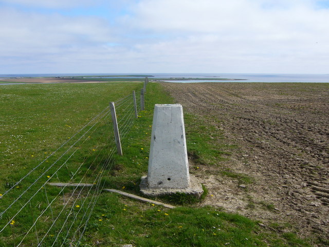
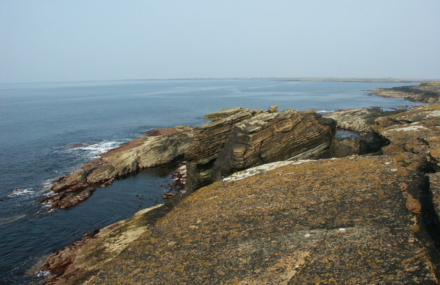
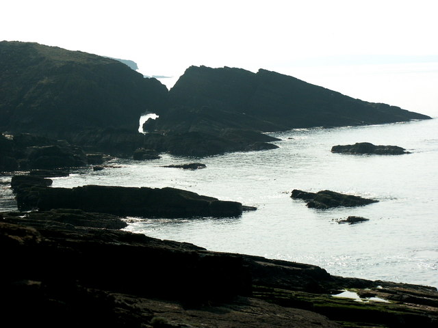
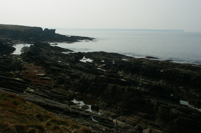
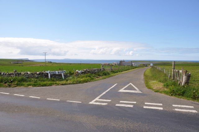
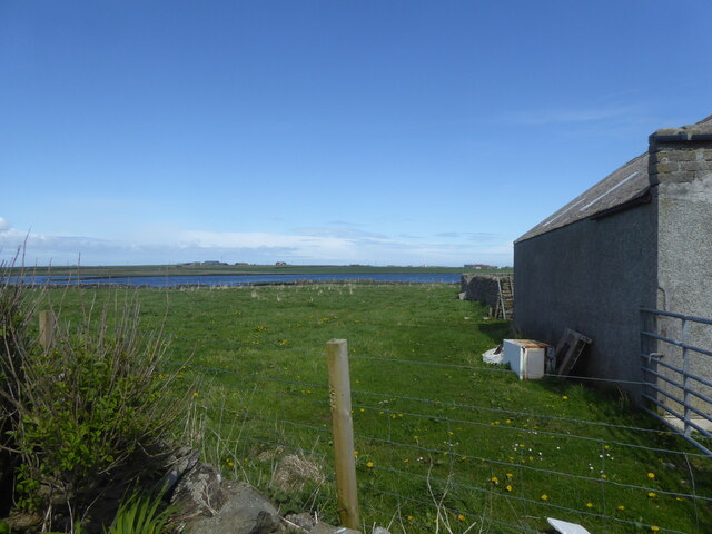
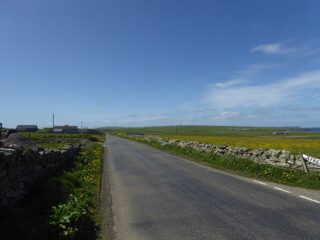
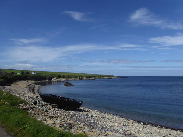
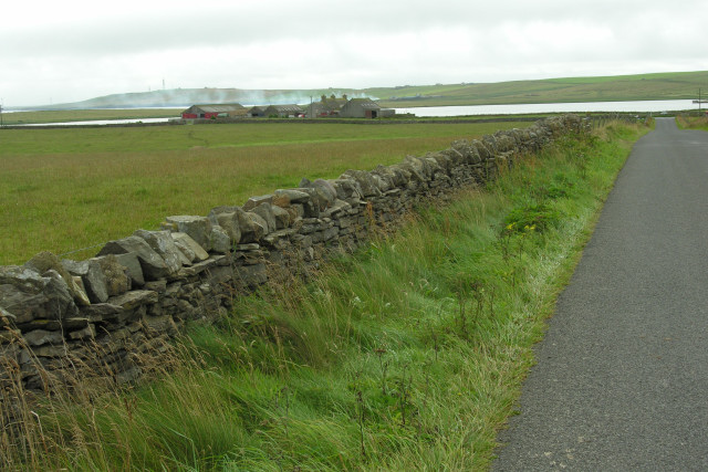
Chapel Head is a prominent coastal feature located in the Orkney Islands, an archipelago situated off the northeastern coast of mainland Scotland. It is known for its striking headland and picturesque views of the surrounding ocean.
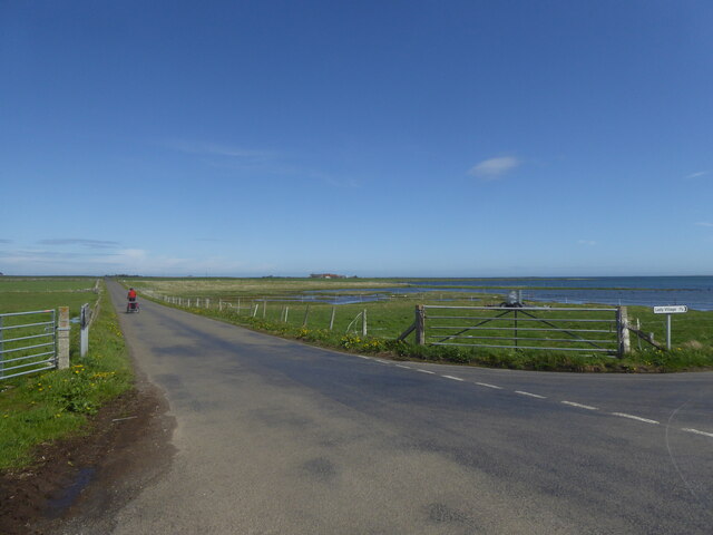
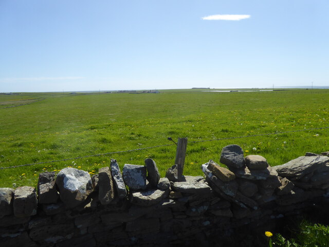
Positioned on the northeastern tip of the mainland, Chapel Head juts out into the North Sea, marking the boundary between the Atlantic Ocean and the North Sea. The headland is characterized by steep cliffs that rise majestically from the sea, offering spectacular panoramic vistas.
The name "Chapel Head" is derived from the presence of a ruined chapel that once stood on the site. Though the chapel is now in ruins, the remnants serve as a reminder of the rich history and religious significance associated with the area. The headland is also home to a small lighthouse, which guides ships navigating the treacherous waters around the Orkney Islands.
Chapel Head is a popular destination for nature enthusiasts, geologists, and photographers due to its dramatic coastal scenery. Visitors can explore the rugged cliffs, observe a wide variety of seabirds, and appreciate the raw beauty of the exposed rock formations. Additionally, the headland provides a vantage point for spotting marine wildlife such as seals, dolphins, and occasional sightings of whales.
Due to its exposed location, Chapel Head experiences strong winds and powerful waves, making it a magnet for surfers and other water sports enthusiasts seeking thrilling adventures. The headland is also a favored spot for fishing, with anglers often casting their lines from the cliffs into the abundant waters below.
In conclusion, Chapel Head is a breathtaking coastal feature in the Orkney Islands, attracting visitors with its stunning cliffs, historical remnants, and abundant natural beauty.
If you have any feedback on the listing, please let us know in the comments section below.
Chapel Head Images
Images are sourced within 2km of 59.257632/-2.610726 or Grid Reference HY6541. Thanks to Geograph Open Source API. All images are credited.

Chapel Head is located at Grid Ref: HY6541 (Lat: 59.257632, Lng: -2.610726)
Unitary Authority: Orkney Islands
Police Authority: Highlands and Islands
What 3 Words
///intrigued.single.swanky. Near Kettletoft, Orkney Islands
Nearby Locations
Related Wikis

Broughtown
Broughtown is a village on the island of Sanday, in Orkney, Scotland. The settlement is within the parish of Cross and Burness. Sanday Airport is adjacent...

Sanday Airport
Sanday Airport (IATA: NDY, ICAO: EGES) is located 20 NM (37 km; 23 mi) north northeast of Kirkwall Airport on Sanday, Orkney Islands, Scotland. Sanday...

Sanday, Orkney
Sanday (, Scots: Sandee) is one of the inhabited islands of Orkney that lies off the north coast of mainland Scotland. With an area of 50.43 km2 (19.5...

Kettletoft
Kettletoft is a settlement on the island of Sanday in Orkney, Scotland. The B9068 road runs from Kettletoft to Scar and the B9069 from Kettletoft to Northwall...

Scar, Orkney
Scar is a village and farm complex on the island of Sanday in Orkney, Scotland. The B9068 road runs from Scar to Kettletoft. The Scar boat burial was found...

Scar boat burial
The Scar boat burial is a Viking boat burial near the village of Scar, on Sanday, in Orkney, Scotland. The burial, which dates to between 875 and 950 AD...

East Sanday Coast
The East Sanday Coast is a protected wetland area on and around the island of Sanday, the third-largest of the Orkney islands off the north coast of Scotland...

Braeswick
Braeswick is a settlement on the island of Sanday, in Orkney, Scotland. The settlement is within the parish of Cross and Burness, and is situated on the...
Nearby Amenities
Located within 500m of 59.257632,-2.610726Have you been to Chapel Head?
Leave your review of Chapel Head below (or comments, questions and feedback).