Point of Freyageo

Coastal Feature, Headland, Point in Orkney

Scotland

Point of Freyageo

Grochlie Geo, Stronsay, Orkney Looking towards the Point of Freyageo.
Grochlie Geo, Stronsay, Orkney Credit: Claire Pegrum

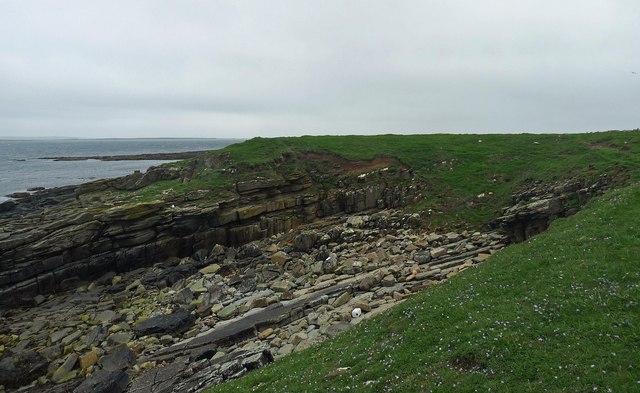
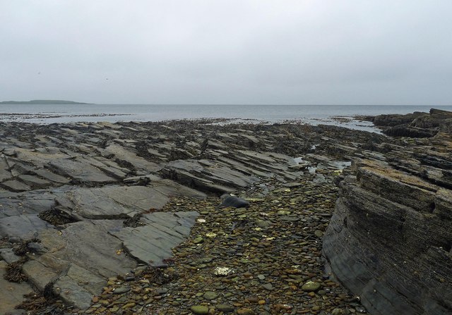
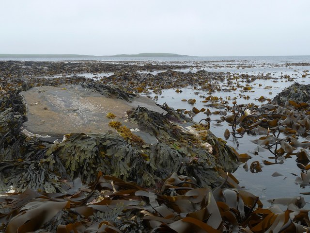
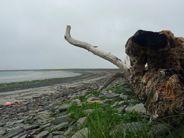
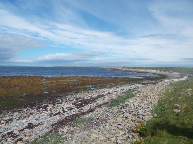
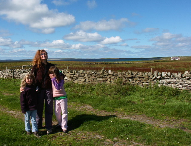
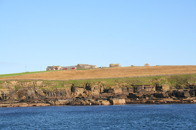
Point of Freyageo is a prominent coastal feature located in Orkney, a group of islands in Scotland. It is a headland that juts out into the North Sea, offering stunning views of the surrounding landscape. The point is characterized by its rugged cliffs, which reach heights of up to 30 meters, and its rocky terrain, which is covered in hardy vegetation.

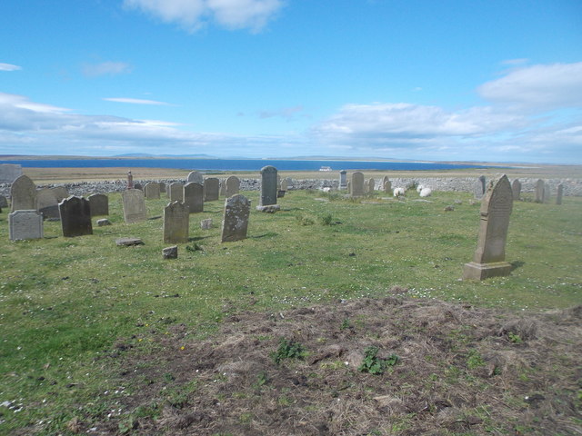
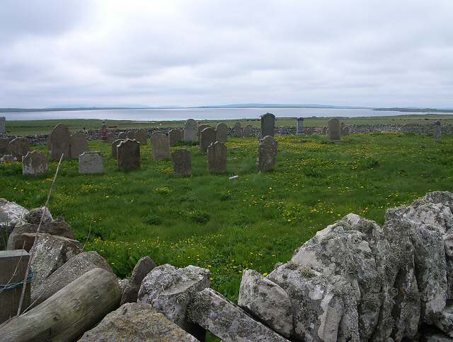
The headland is known for its historical significance, having been inhabited since ancient times. Archaeological evidence suggests that the area was once home to a Neolithic settlement, and remains of prehistoric structures have been discovered in the vicinity. These ancient ruins give insights into the lives of the people who lived here thousands of years ago.

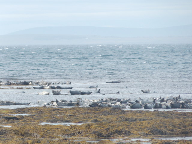
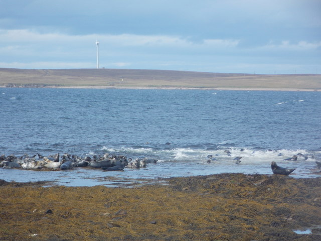
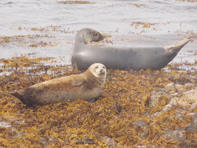
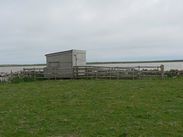
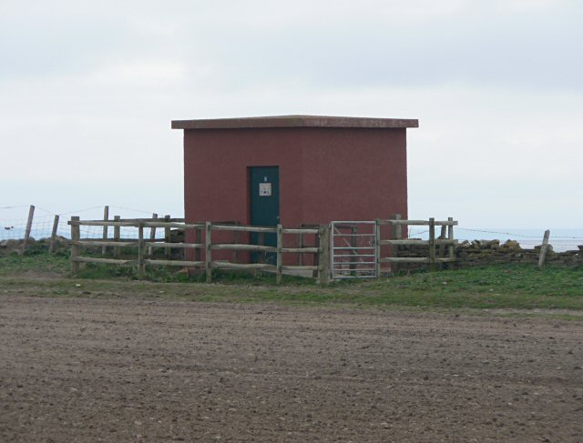
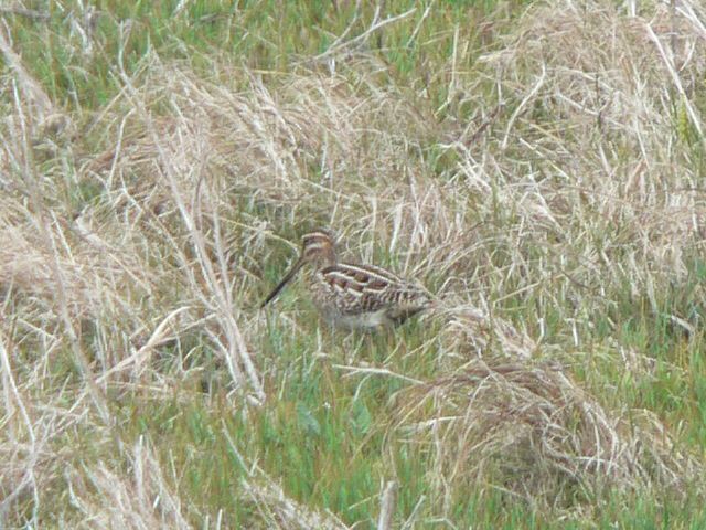
In addition to its historical importance, Point of Freyageo also serves as a habitat for various species of seabirds. The cliffs provide nesting sites for colonies of puffins, guillemots, and razorbills, making it a popular spot for birdwatching enthusiasts.

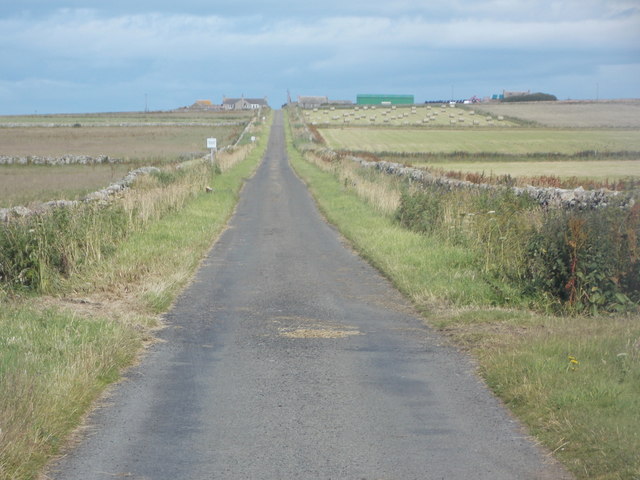
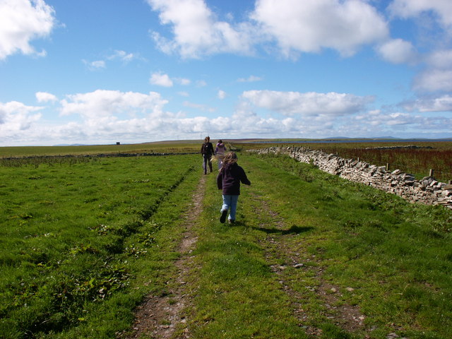
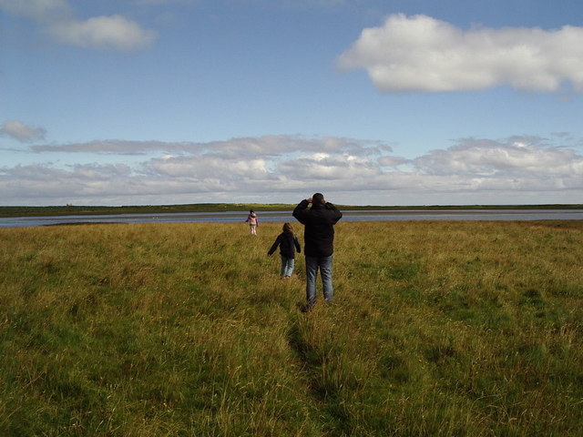
The point is easily accessible by a coastal footpath, which offers a picturesque walk along the cliffs. Visitors can enjoy the breathtaking views of the sea, with its crashing waves and distant horizon. On a clear day, the neighboring islands of Rousay and Eday can be seen in the distance.

Overall, Point of Freyageo is a captivating coastal feature that combines natural beauty, historical significance, and abundant wildlife. It is a must-visit destination for nature lovers, history enthusiasts, and anyone seeking a tranquil escape in the stunning landscape of Orkney.

If you have any feedback on the listing, please let us know in the comments section below.

Point of Freyageo Images

Images are sourced within 2km of 59.076955/-2.6089426 or Grid Reference HY6521. Thanks to Geograph Open Source API. All images are credited.

Grochlie Geo, Stronsay, Orkney Looking towards the Point of Freyageo.
Grochlie Geo, Stronsay, Orkney
Looking towards the Point of Freyageo.
Langa Mae, Stronsay, Orkney Looking towards Lamb Head.
Langa Mae, Stronsay, Orkney
Looking towards Lamb Head.
Kelp forest, Langa Mae, Stronsay, Orkney Looking towards Lamb Head.
Kelp forest, Langa Mae, Stronsay, Orkney
Looking towards Lamb Head.
Sand of the Crook and ayre, Stronsay, Orkney Behind the ayre (shingle bank) is <a href="https://www.geograph.org.uk/photo/1086440">HY6621 : Lea Shun</a> loch.
Sand of the Crook and ayre, Stronsay, Orkney
Behind the ayre (shingle bank) is HY6621 : Lea Shun loch.
Stronsay: the road to Holland Actually the road FROM Holland in this view.
Stronsay: the road to Holland
Actually the road FROM Holland in this view.
Stronsay: seals at the Bight of Scarma A particularly large number of seals are to be seen along this part of the Stronsay coast - certainly a couple of hundred as we walked along here this afternoon.
Stronsay: seals at the Bight of Scarma
A particularly large number of seals are to be seen along this part of the Stronsay coast - certainly a couple of hundred as we walked along here this afternoon.
Stronsay: seals making a splash Unsettled by our appearance, a large group of seals is roughly halved in size as the other half scarper underwater.
Stronsay: seals making a splash
Unsettled by our appearance, a large group of seals is roughly halved in size as the other half scarper underwater.
Stronsay: two seals As well as some very large groups of seals (see <a href="https://www.geograph.org.uk/photo/4713951">HY6521 : Stronsay: seals at the Bight of Scarma</a>), there were a few scattered all along the shore here. They were curious enough to turn their heads as I and another walked past, but on the whole didn't feel so threatened as to disappear.
Stronsay: two seals
As well as some very large groups of seals (see HY6521 : Stronsay: seals at the Bight of Scarma), there were a few scattered all along the shore here. They were curious enough to turn their heads as I and another walked past, but on the whole didn't feel so threatened as to disappear.
Stronsay: Bight of Scarma A small bay on the east side of Bay of Holland, seen at a low tide with lots of visible rocks. These are awash with seals - see for example <a href="https://www.geograph.org.uk/photo/4713951">HY6521 : Stronsay: seals at the Bight of Scarma</a>.
Stronsay: Bight of Scarma
A small bay on the east side of Bay of Holland, seen at a low tide with lots of visible rocks. These are awash with seals - see for example HY6521 : Stronsay: seals at the Bight of Scarma.
Stronsay: cemetery at Holland A quite large, square, walled cemetery opposite Holland Farm, with a few sheep grazing within.
Stronsay: cemetery at Holland
A quite large, square, walled cemetery opposite Holland Farm, with a few sheep grazing within.
Holland Farm, Stronsay A substantial stone farm in the south of Stronsay with much of its land managed for wildlife.
Holland Farm, Stronsay
A substantial stone farm in the south of Stronsay with much of its land managed for wildlife.
Cemetery at Holland Farm Looking across the cemetery over the Bay of Holland
Cemetery at Holland Farm
Looking across the cemetery over the Bay of Holland
Bird hide on Lea Shun This hide is on the SNH reserve at Holland Farm. Part of the farm is managed specifically for corncrakes.
Bird hide on Lea Shun
This hide is on the SNH reserve at Holland Farm. Part of the farm is managed specifically for corncrakes.
Seal hide This seal hide is an old submarine telephone cable cabin. It overlooks a small beach where common seals regularly haul out, and where they pup in early summer. The hide is part of the SNH Holland Farm reserve.
Seal hide
This seal hide is an old submarine telephone cable cabin. It overlooks a small beach where common seals regularly haul out, and where they pup in early summer. The hide is part of the SNH Holland Farm reserve.
Snipe by Lea Shun A snipe demonstrates the effectiveness of its camouflage in the wet bog beside Lea Shun, seen from the hide shown in <a href="https://www.geograph.org.uk/photo/217172">HY6521 : Bird hide on Lea Shun</a>. At time of the photo, male snipe were "drumming" - a remarkable noise produced by vibrating tail feathers during steep dives.
Snipe by Lea Shun
A snipe demonstrates the effectiveness of its camouflage in the wet bog beside Lea Shun, seen from the hide shown in HY6521 : Bird hide on Lea Shun. At time of the photo, male snipe were "drumming" - a remarkable noise produced by vibrating tail feathers during steep dives.
Track from Holland to Mells Kirk Looking westwards along the line of the stone wall. The building on the left horizon is a seal hide!
Track from Holland to Mells Kirk
Looking westwards along the line of the stone wall. The building on the left horizon is a seal hide!
Looking towards Inganoust From the track to the coast.
Looking towards Inganoust
From the track to the coast.
Walking to Lea Shun Near the bird hide.
Walking to Lea Shun
Near the bird hide.
Show me another place!

Point of Freyageo is located at Grid Ref: HY6521 (Lat: 59.076955, Lng: -2.6089426)

Unitary Authority: Orkney Islands

Police Authority: Highlands and Islands

What 3 Words

///slimmer.lunching.hype. Near Whitehall, Orkney Islands

Related Wikis

Stronsay

Stronsay () is an island in Orkney, Scotland. It is known as Orkney's 'Island of Bays', owing to an irregular shape with miles of coastline, with three...

Auskerry

Auskerry (Scots: Soond; Old Norse: Austrsker, east skerry) is a small island in eastern Orkney, Scotland. It lies in the North Sea south of Stronsay and...

Odness

Odness is a peninsula and headland on the island of Stronsay, in Orkney, Scotland. The Odness peninsula contains the farm of Odiness. Odness is also within...

Whitehall, Orkney

Whitehall is the village on the island of Stronsay, in the Orkney Islands of Scotland. It is a small village with about 50 houses. It also has a shop...

Linga Holm

Linga Holm, commonly known as Linga, Midgarth and the Holm of Midgarth is an uninhabited Scottish island extending to approximately 57 hectares (0.22...

Linga Sound, Orkney

Linga Sound is the strait between the islands of Linga Holm and Stronsay in the Orkney islands of Scotland. It leads into St. Catherines Bay from the north...

Papa Stronsay

Papa Stronsay (Scots: Papa Stronsee; Old Norse: Papey Minni) is a small island in Orkney, Scotland, lying north east of Stronsay. It is 74 hectares (183...

Sons of the Most Holy Redeemer

The Congregation of the Sons of the Most Holy Redeemer (Latin: Filii Sanctissimi Redemptoris; FSSR), commonly known as the Transalpine Redemptorists or...

Have you been to Point of Freyageo?

Leave your review of Point of Freyageo below (or comments, questions and feedback).