Little Geo

Coastal Feature, Headland, Point in Orkney

Scotland

Little Geo

Shapinsay: postbox № KW17 57 A standard lamp box dating from post-1994, mounted on an unusually short metal pole. Serving the northern part of the island, it is one of four postboxes on Shapinsay.
Shapinsay: postbox № KW17 57 Credit: Chris Downer

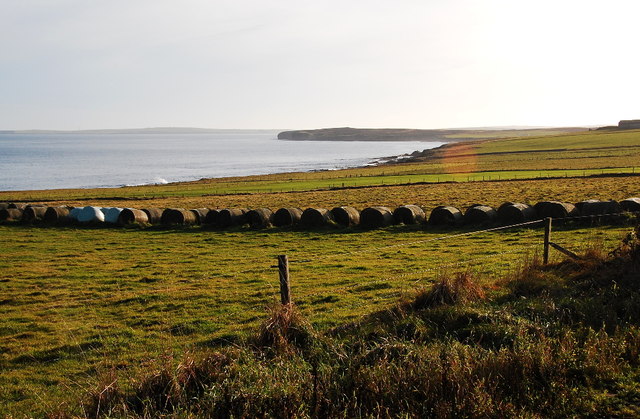
Little Geo is a prominent coastal feature located on the island of Orkney in Scotland. It is a stunning headland, jutting out into the North Sea, and is known for its rugged beauty and dramatic cliffs.

Situated on the eastern coast of Orkney, Little Geo is characterized by its rocky shoreline and steep cliffs that reach impressive heights of up to 100 feet. The headland is composed of layers of sandstone and shale, giving it a distinctive appearance and adding to its geological significance.

The area surrounding Little Geo is abundant in diverse marine life, making it a popular spot for birdwatching and wildlife enthusiasts. Visitors can observe various seabirds such as guillemots, kittiwakes, and fulmars nesting on the cliffs, as well as seals basking on the rocks below.

In addition to its natural beauty, Little Geo also holds historical significance. The headland is believed to have been used by ancient settlers as a lookout point and defensive position due to its strategic location. There are remnants of ancient structures and fortifications that can still be seen today, adding an element of historical intrigue to the area.

Little Geo is easily accessible to visitors, with a walking path leading from the nearby village. Its breathtaking views, diverse wildlife, and rich history make it a must-visit destination for those exploring the coastal wonders of Orkney.

If you have any feedback on the listing, please let us know in the comments section below.
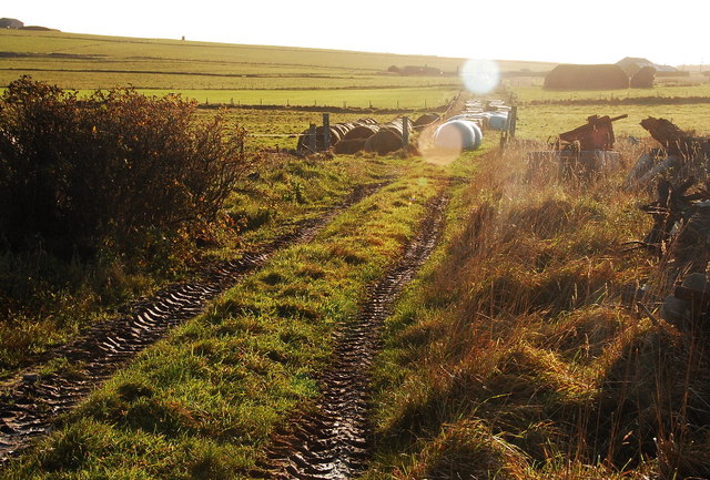
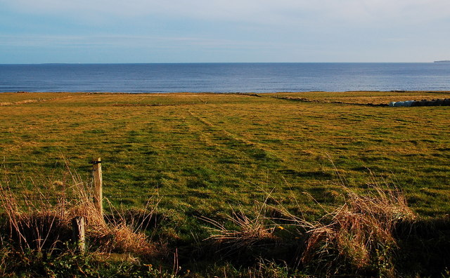
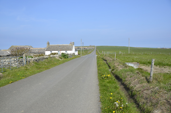
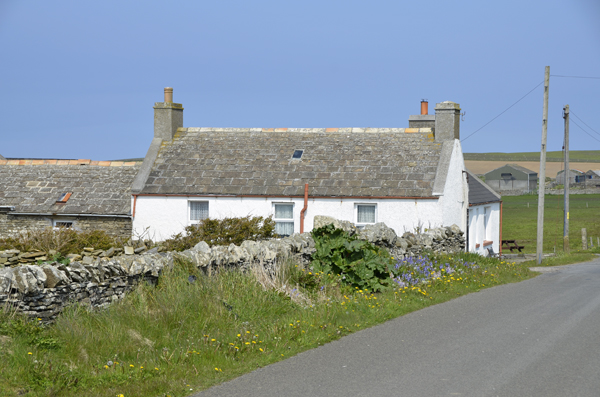
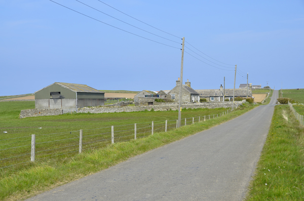
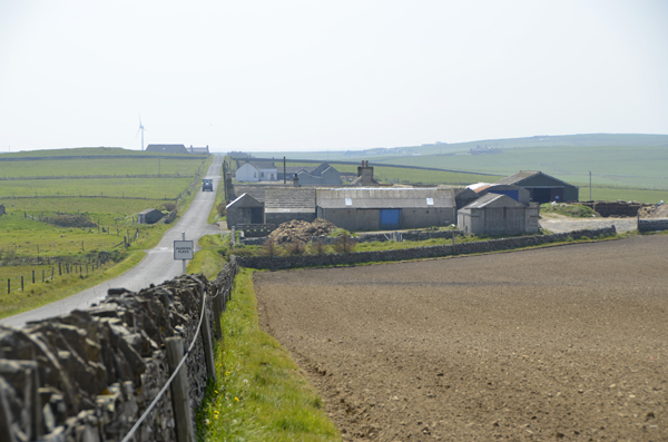
Little Geo Images

Images are sourced within 2km of 59.049939/-2.8224836 or Grid Reference HY5218. Thanks to Geograph Open Source API. All images are credited.

Shapinsay: postbox № KW17 57 A standard lamp box dating from post-1994, mounted on an unusually short metal pole. Serving the northern part of the island, it is one of four postboxes on Shapinsay.
Shapinsay: postbox № KW17 57
A standard lamp box dating from post-1994, mounted on an unusually short metal pole. Serving the northern part of the island, it is one of four postboxes on Shapinsay.
Shapinsay: red phone box on the B9058 The phone box stands alongside the road but far enough onto someone's garden that it is probably the location of the former North Shapinsay post office, which existed from 1935 until closure on 30 June 1975.
Shapinsay: red phone box on the B9058
The phone box stands alongside the road but far enough onto someone's garden that it is probably the location of the former North Shapinsay post office, which existed from 1935 until closure on 30 June 1975.
Ruined Buildings The map says that these ruins are beside Venezuela Cottage.
Ruined Buildings
The map says that these ruins are beside Venezuela Cottage.
Standing Stone in Shapinsay
Baled Hay at North Hill Mainland Orkney in the distance.
Baled Hay at North Hill
Mainland Orkney in the distance.
Track at North Hill Looking northwest.
Track at North Hill
Looking northwest.
Fields at North Hill I think that is Mull Head on Mainland (Orkney) to the right. The white speck towards the left horizon is the lighthouse on Auskerry.
Fields at North Hill
I think that is Mull Head on Mainland (Orkney) to the right. The white speck towards the left horizon is the lighthouse on Auskerry.
Inkerman House Shapinsay looking Northward
Close up of Inkerman
Lucknow Farm Shapinsay
Lucknow Farm Shapinsay Looking southwards
Collapsed Building - coastal erosion This was at one time a substantial small holding. Now vanishing after many years of coastal erosion.
Collapsed Building - coastal erosion
This was at one time a substantial small holding. Now vanishing after many years of coastal erosion.
Strand separating sea and loch Naturally occurring 'Strand'  between Veantrow Bay on the left and Lairo Water on the right.
Strand separating sea and loch
Naturally occurring 'Strand' between Veantrow Bay on the left and Lairo Water on the right.
Lochend Area from Ventro Bay, Shapinsay
Proper Red GPO Phonebox You wait all day for something red to photo, then two come at once!
Proper Red GPO Phonebox
You wait all day for something red to photo, then two come at once!
Downhill to Girnigoe Vertically challenged signpost.
Downhill to Girnigoe
Vertically challenged signpost.
Looking towards the crossroads The buildings beyond the junction are the old schoolhouse.
Looking towards the crossroads
The buildings beyond the junction are the old schoolhouse.
Old faithful A bit of choke and this would start.
Old faithful
A bit of choke and this would start.
Show me another place!

Little Geo is located at Grid Ref: HY5218 (Lat: 59.049939, Lng: -2.8224836)

Unitary Authority: Orkney Islands

Police Authority: Highlands and Islands

What 3 Words

///backup.puddings.along. Near Balfour, Orkney Islands

Related Wikis

Linton Chapel

Linton Chapel is a ruined chapel on the east coast of Shapinsay, Orkney (Grid Reference HY5218). The chapel is thought to date as early as the 12th century...

Bay of Linton

The Bay of Linton is a bay on the east coast on the island of Shapinsay in the Orkney Islands, Scotland. To the north of Linton Bay are the headlands...
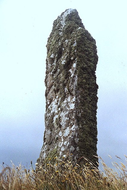
Mor Stein

Mor Stein is a neolithic standing stone in the southeastern part of the island of Shapinsay, Orkney Islands, Scotland. Shapinsay is one of the two large...

Lairo Water

Lairo Water is a surface water body known as an ayre situated on the western coast of Shapinsay in the Orkney Islands. This brackish water body is separated...

Nearby Amenities

Located within 500m of 59.049939,-2.8224836
Linton Chapel
Historic: ruins
Wikidata: Q6554900
Wikipedia: en:Linton Chapel
Lat/Long: 59.0522646/-2.8195659
Marker: cable
Lat/Long: 59.0456016/-2.824232
Power: pole
Lat/Long: 59.0539431/-2.8245136
Power: pole
Lat/Long: 59.0529376/-2.8254578
Power: pole
Lat/Long: 59.0517127/-2.824401
Power: pole
Lat/Long: 59.0462321/-2.8272629
Power: pole
Lat/Long: 59.0479703/-2.8301382
Power: pole
Lat/Long: 59.0476282/-2.8287435
Power: pole
Lat/Long: 59.0472667/-2.827405
Kirkhill farmstead (remains)
Historic: archaeological_site
Lat/Long: 59.0526499/-2.8211094
Linton Chapel burial ground
Historic: archaeological_site
Lat/Long: 59.0521372/-2.821563
Bay of Crook
Natural: bay
Lat/Long: 59.0465039/-2.8213191
The data included in this document is from www.openstreetmap.org. The data is made available under ODbL.

Have you been to Little Geo?

Leave your review of Little Geo below (or comments, questions and feedback).