Piers of Frustigarth
Coastal Feature, Headland, Point in Orkney
Scotland
Piers of Frustigarth
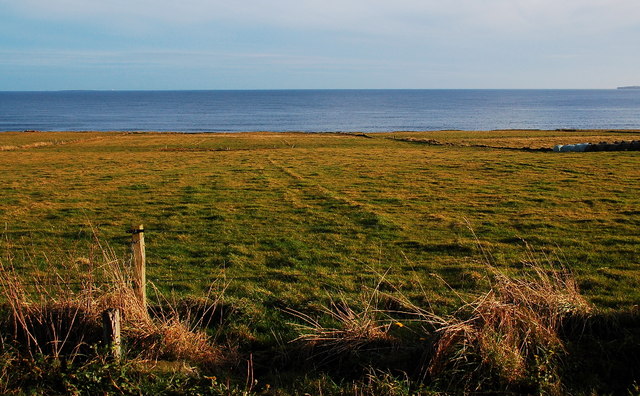
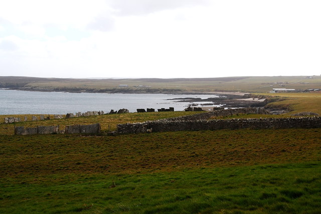
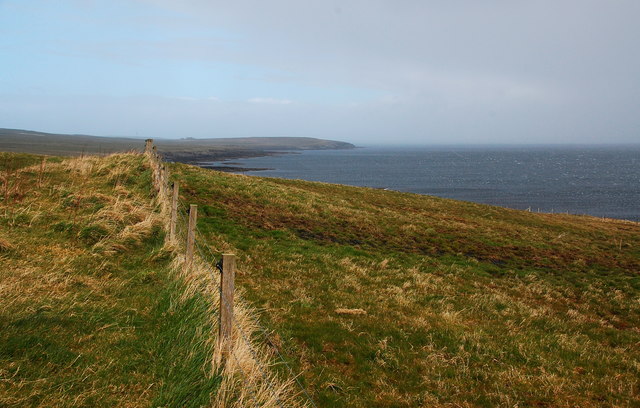
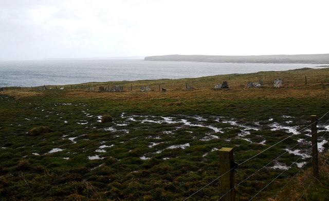
Piers of Frustigarth is a prominent coastal feature located on the Orkney Islands in Scotland. Situated on the eastern coastline of the Mainland, the largest island in the archipelago, it is a striking headland that extends into the North Sea.
The Piers of Frustigarth is characterized by its rugged cliffs, which rise dramatically from the sea, creating a picturesque and awe-inspiring landscape. The cliffs are composed of layers of sandstone, revealing a rich geological history. Over time, the relentless erosion by wind and waves has sculpted the cliffs, resulting in steep slopes and jutting rock formations.
The headland offers breathtaking panoramic views of the surrounding sea, with its crystal-clear waters and diverse marine life. Visitors can witness seabirds soaring above the cliffs, including puffins, fulmars, and guillemots, making it a popular spot for birdwatching.
The Piers of Frustigarth also hold historical significance, as they are believed to have been used as a lookout point during Viking times. The strategic location provided an advantageous position for monitoring the waters and detecting potential threats.
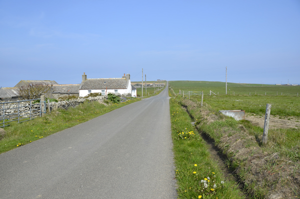
Access to the headland is relatively easy, with a designated path leading visitors to the top of the cliffs. However, caution should be exercised due to the steep drops and potentially unstable terrain.
Overall, the Piers of Frustigarth is a captivating coastal feature, combining natural beauty, wildlife, and historical significance, making it a must-visit destination for nature enthusiasts and history buffs alike.
If you have any feedback on the listing, please let us know in the comments section below.
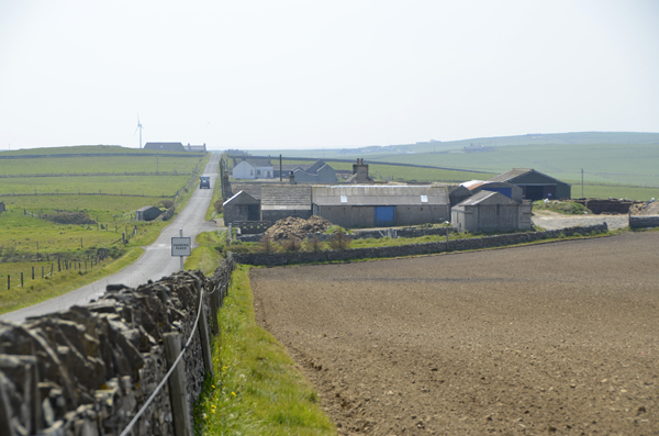
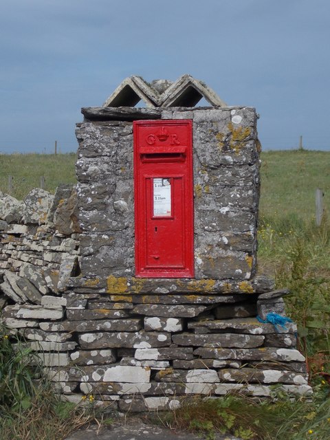
Piers of Frustigarth Images
Images are sourced within 2km of 59.047232/-2.8232032 or Grid Reference HY5218. Thanks to Geograph Open Source API. All images are credited.


Piers of Frustigarth is located at Grid Ref: HY5218 (Lat: 59.047232, Lng: -2.8232032)
Unitary Authority: Orkney Islands
Police Authority: Highlands and Islands
What 3 Words
///stretcher.marketing.prime. Near Balfour, Orkney Islands
Nearby Locations
Related Wikis

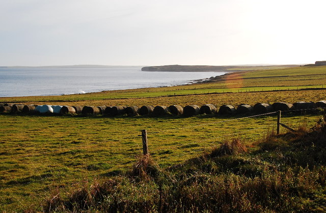
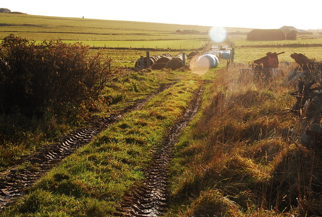
Bay of Linton
The Bay of Linton is a bay on the east coast on the island of Shapinsay in the Orkney Islands, Scotland. To the north of Linton Bay are the headlands...

Linton Chapel
Linton Chapel is a ruined chapel on the east coast of Shapinsay, Orkney (Grid Reference HY5218). The chapel is thought to date as early as the 12th century...

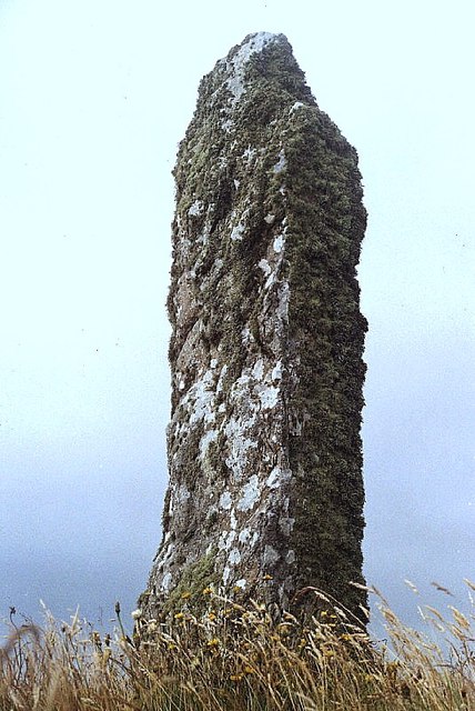
Mor Stein
Mor Stein is a neolithic standing stone in the southeastern part of the island of Shapinsay, Orkney Islands, Scotland. Shapinsay is one of the two large...

Castle Bloody
Castle Bloody is a prehistoric feature on the island of Shapinsay, Orkney, Scotland. Hogan observes that while the feature is marked as a chambered mound...
Nearby Amenities
Located within 500m of 59.047232,-2.8232032Have you been to Piers of Frustigarth?
Leave your review of Piers of Frustigarth below (or comments, questions and feedback).