Lang Skerry

Island in Orkney

Scotland

Lang Skerry

Shapinsay: red phone box on the B9058 The phone box stands alongside the road but far enough onto someone's garden that it is probably the location of the former North Shapinsay post office, which existed from 1935 until closure on 30 June 1975.
Shapinsay: red phone box on the B9058 Credit: Chris Downer

Lang Skerry is a small uninhabited island located in the Orkney archipelago, off the northeastern coast of Scotland. It lies approximately 10 miles northeast of the mainland and covers an area of around 25 acres. The island is known for its rugged and rocky terrain, with steep cliffs rising up to 150 feet above sea level.

Lang Skerry is surrounded by the cold waters of the North Atlantic Ocean, making it a haven for a variety of bird species. The island is particularly famous for its large colony of Atlantic puffins, which nest in burrows along the cliffs during the breeding season. Other seabirds that can be spotted on the island include guillemots, razorbills, kittiwakes, and fulmars.

Due to its remote and inaccessible nature, Lang Skerry has remained largely untouched by human activity. There are no permanent structures or facilities on the island, and it is only accessible by boat or helicopter. The lack of human interference has allowed the island's natural ecosystem to thrive, making it an important site for wildlife conservation.

Lang Skerry is a designated Special Protection Area (SPA) and a Site of Special Scientific Interest (SSSI), recognizing its significance for its breeding seabird colonies and marine biodiversity. The island is managed by various conservation organizations, and access is strictly controlled to protect the fragile ecosystem and preserve the island's natural beauty.

If you have any feedback on the listing, please let us know in the comments section below.
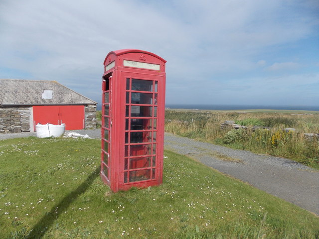
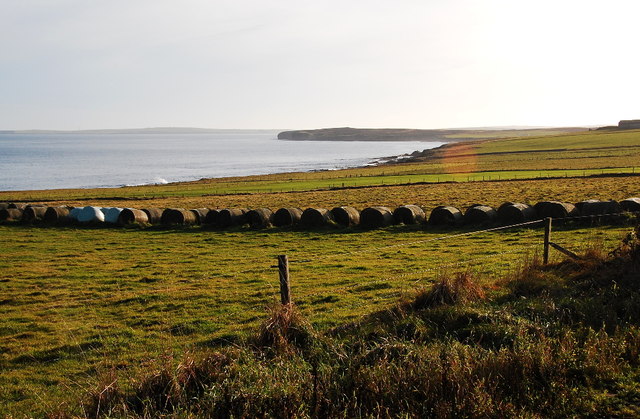
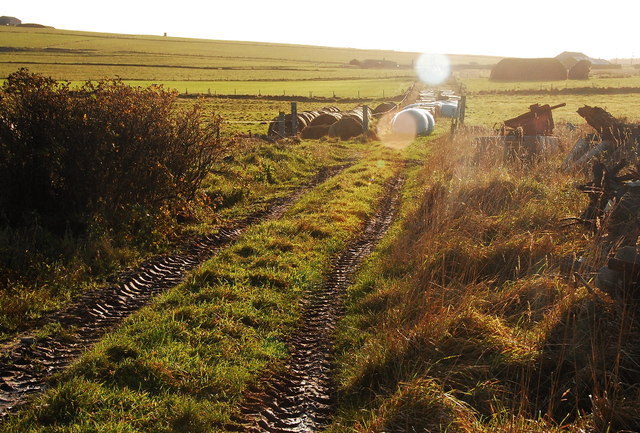
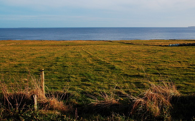
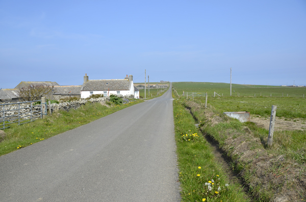
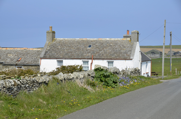
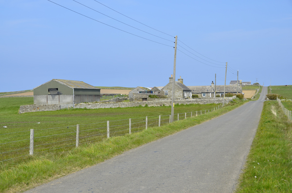
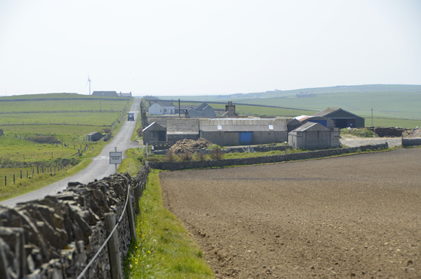
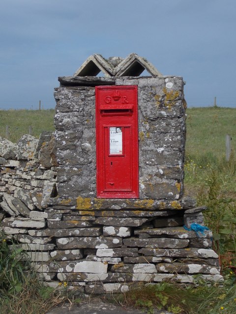
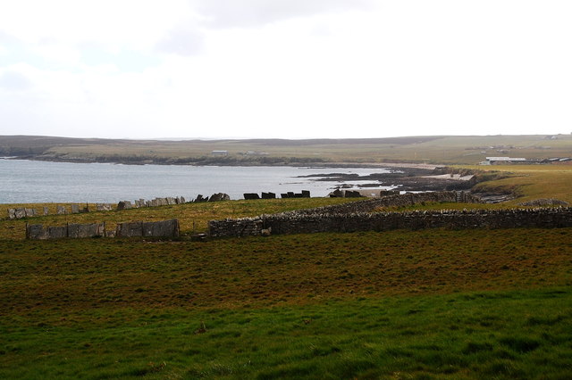
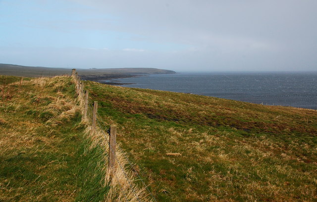
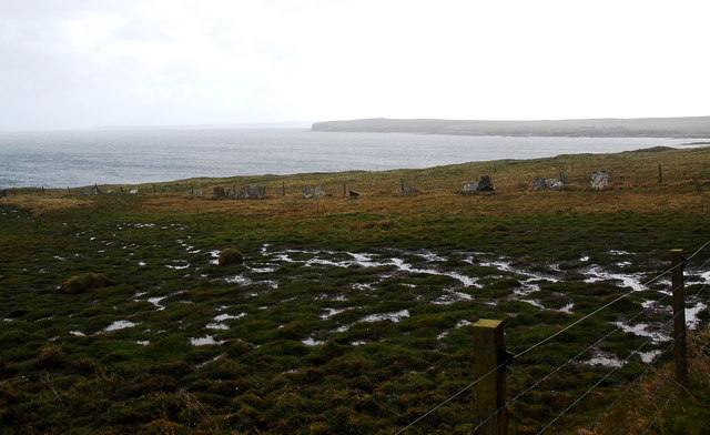
Lang Skerry Images

Images are sourced within 2km of 59.047661/-2.8220283 or Grid Reference HY5218. Thanks to Geograph Open Source API. All images are credited.

Shapinsay: red phone box on the B9058 The phone box stands alongside the road but far enough onto someone's garden that it is probably the location of the former North Shapinsay post office, which existed from 1935 until closure on 30 June 1975.
Shapinsay: red phone box on the B9058
The phone box stands alongside the road but far enough onto someone's garden that it is probably the location of the former North Shapinsay post office, which existed from 1935 until closure on 30 June 1975.
Standing Stone in Shapinsay
Baled Hay at North Hill Mainland Orkney in the distance.
Baled Hay at North Hill
Mainland Orkney in the distance.
Track at North Hill Looking northwest.
Track at North Hill
Looking northwest.
Fields at North Hill I think that is Mull Head on Mainland (Orkney) to the right. The white speck towards the left horizon is the lighthouse on Auskerry.
Fields at North Hill
I think that is Mull Head on Mainland (Orkney) to the right. The white speck towards the left horizon is the lighthouse on Auskerry.
Inkerman House Shapinsay looking Northward
Close up of Inkerman
Lucknow Farm Shapinsay
Lucknow Farm Shapinsay Looking southwards
Collapsed Building - coastal erosion This was at one time a substantial small holding. Now vanishing after many years of coastal erosion.
Collapsed Building - coastal erosion
This was at one time a substantial small holding. Now vanishing after many years of coastal erosion.
Lochend Area from Ventro Bay, Shapinsay
Proper Red GPO Phonebox You wait all day for something red to photo, then two come at once!
Proper Red GPO Phonebox
You wait all day for something red to photo, then two come at once!
Track to Hillside and North Hill Easier going down than coming back.
Track to Hillside and North Hill
Easier going down than coming back.
Shapinsay: postbox № KW17 69 A George V-reign postbox set into a stone pillar with a rather decorative top.
Shapinsay: postbox № KW17 69
A George V-reign postbox set into a stone pillar with a rather decorative top.
Shapinsay: approaching Lairo Water The track approaches its right-angled turn to the house Lochend, while ahead of us Lairo Water, which is separated from Veantrow Bay by a shingle ayre, noticeably differs in colour from the seawater.
Shapinsay: approaching Lairo Water
The track approaches its right-angled turn to the house Lochend, while ahead of us Lairo Water, which is separated from Veantrow Bay by a shingle ayre, noticeably differs in colour from the seawater.
Flagstone field boundaries, Kirkton Field boundaries quarried from local sandstone, split into "flags" and used as a stone fence.
Flagstone field boundaries, Kirkton
Field boundaries quarried from local sandstone, split into "flags" and used as a stone fence.
Fence and coastal scenery, Kirkton Looking NNE with the wind and rain on my back.
Fence and coastal scenery, Kirkton
Looking NNE with the wind and rain on my back.
Waterlogged farmland Looking south towards the Bay of Linton.
Waterlogged farmland
Looking south towards the Bay of Linton.
Show me another place!

Lang Skerry is located at Grid Ref: HY5218 (Lat: 59.047661, Lng: -2.8220283)

Unitary Authority: Orkney Islands

Police Authority: Highlands and Islands

What 3 Words

///thrashing.revives.rocker. Near Balfour, Orkney Islands

Related Wikis

Bay of Linton

The Bay of Linton is a bay on the east coast on the island of Shapinsay in the Orkney Islands, Scotland. To the north of Linton Bay are the headlands...

Linton Chapel

Linton Chapel is a ruined chapel on the east coast of Shapinsay, Orkney (Grid Reference HY5218). The chapel is thought to date as early as the 12th century...
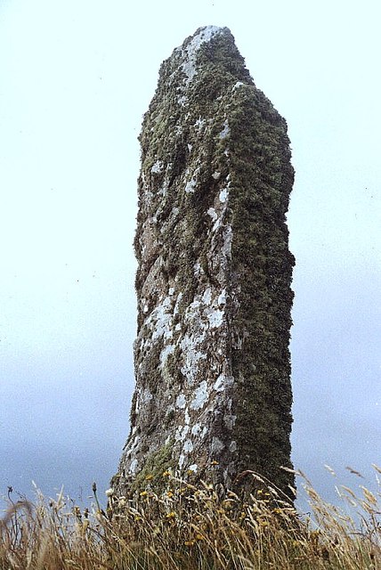
Mor Stein

Mor Stein is a neolithic standing stone in the southeastern part of the island of Shapinsay, Orkney Islands, Scotland. Shapinsay is one of the two large...

Castle Bloody

Castle Bloody is a prehistoric feature on the island of Shapinsay, Orkney, Scotland. Hogan observes that while the feature is marked as a chambered mound...

Nearby Amenities

Located within 500m of 59.047661,-2.8220283
Marker: cable
Lat/Long: 59.0456016/-2.824232
Power: pole
Lat/Long: 59.0517127/-2.824401
Power: pole
Lat/Long: 59.0446276/-2.8276679
Power: pole
Lat/Long: 59.0451794/-2.8271341
Power: pole
Lat/Long: 59.0462321/-2.8272629
Power: pole
Lat/Long: 59.0479703/-2.8301382
Power: pole
Lat/Long: 59.0476282/-2.8287435
Power: pole
Lat/Long: 59.0472667/-2.827405
Linton Chapel burial ground
Historic: archaeological_site
Lat/Long: 59.0521372/-2.821563
Bay of Crook
Natural: bay
Lat/Long: 59.0465039/-2.8213191
The data included in this document is from www.openstreetmap.org. The data is made available under ODbL.

Have you been to Lang Skerry?

Leave your review of Lang Skerry below (or comments, questions and feedback).