Iceland Skerry
Coastal Feature, Headland, Point in Orkney
Scotland
Iceland Skerry
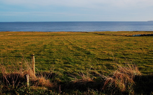
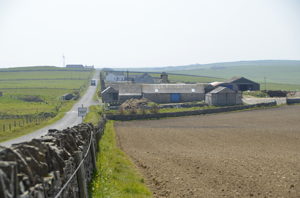
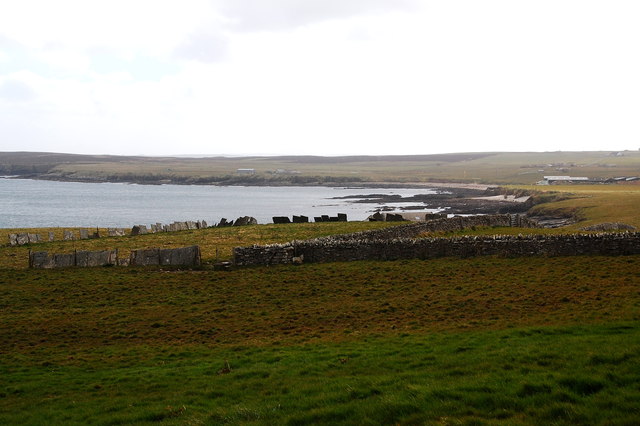
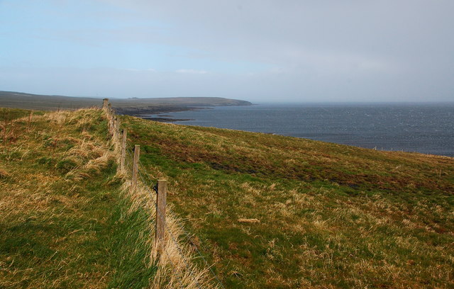
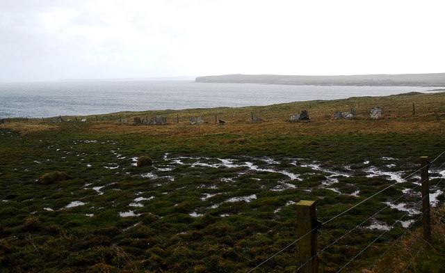
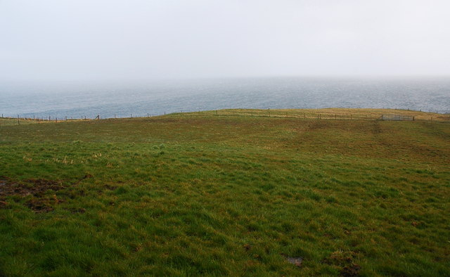
Iceland Skerry is a prominent coastal feature located in the Orkney Islands, Scotland. It is a headland that extends into the North Sea, forming a point that juts out into the water. The skerry is named after its striking resemblance to the rugged and dramatic landscapes found in Iceland.
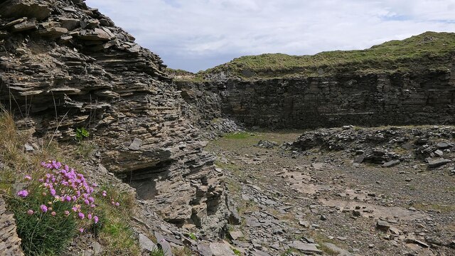
This coastal feature is characterized by its steep cliffs, which rise high above the sea. The cliffs are composed of layers of sedimentary rock, displaying a variety of colors and textures that add to their visual appeal. The skerry is also known for its rocky shoreline, which is dotted with numerous sea stacks and caves carved out by the relentless force of the ocean.
Iceland Skerry offers breathtaking views of the surrounding coastline and the vast expanse of the North Sea. Its elevated position makes it an ideal spot for birdwatching, as it attracts a diverse range of seabirds, including puffins, guillemots, and fulmars. The skerry is also home to a variety of plant species that have adapted to the harsh coastal conditions, such as sea thrift and sea campion.
Due to its exposed location, Iceland Skerry is often subjected to strong winds and rough seas. Visitors are advised to take caution while exploring the area, as the cliffs can be hazardous and the waves can be unpredictable. Nevertheless, the skerry remains a popular destination for nature enthusiasts and photographers, who are drawn to its natural beauty and unique geological formations.
If you have any feedback on the listing, please let us know in the comments section below.
Iceland Skerry Images
Images are sourced within 2km of 59.047422/-2.8215519 or Grid Reference HY5218. Thanks to Geograph Open Source API. All images are credited.


Iceland Skerry is located at Grid Ref: HY5218 (Lat: 59.047422, Lng: -2.8215519)
Unitary Authority: Orkney Islands
Police Authority: Highlands and Islands
What 3 Words
///dynamic.corn.segregate. Near Balfour, Orkney Islands
Nearby Locations
Related Wikis

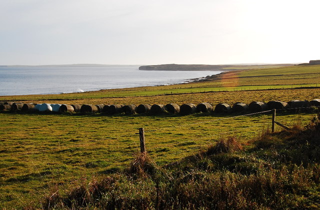
Bay of Linton
The Bay of Linton is a bay on the east coast on the island of Shapinsay in the Orkney Islands, Scotland. To the north of Linton Bay are the headlands...

Linton Chapel
Linton Chapel is a ruined chapel on the east coast of Shapinsay, Orkney (Grid Reference HY5218). The chapel is thought to date as early as the 12th century...

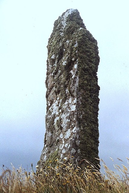
Mor Stein
Mor Stein is a neolithic standing stone in the southeastern part of the island of Shapinsay, Orkney Islands, Scotland. Shapinsay is one of the two large...

Castle Bloody
Castle Bloody is a prehistoric feature on the island of Shapinsay, Orkney, Scotland. Hogan observes that while the feature is marked as a chambered mound...
Nearby Amenities
Located within 500m of 59.047422,-2.8215519Have you been to Iceland Skerry?
Leave your review of Iceland Skerry below (or comments, questions and feedback).