Haas of the Stack
Coastal Feature, Headland, Point in Orkney
Scotland
Haas of the Stack
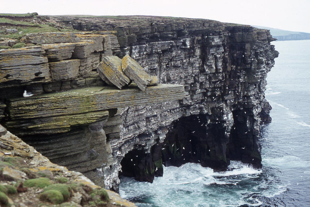
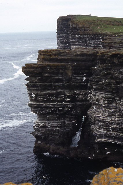
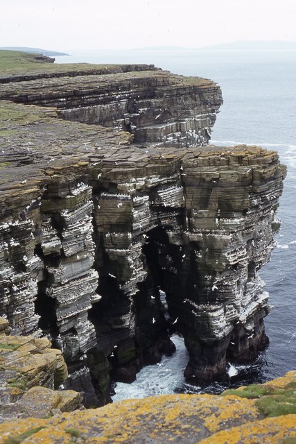
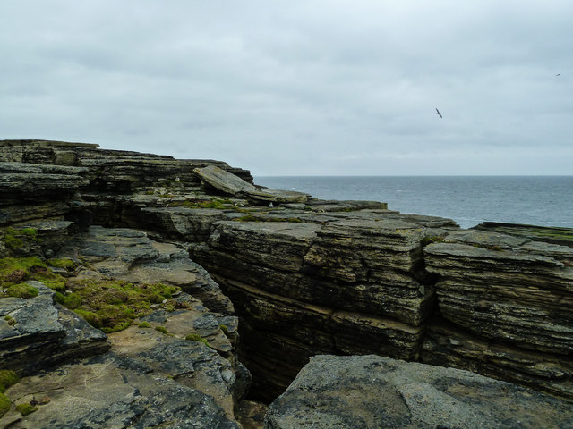
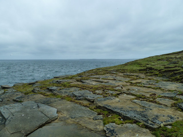
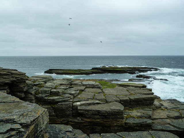
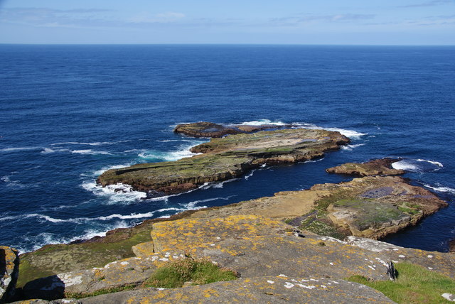
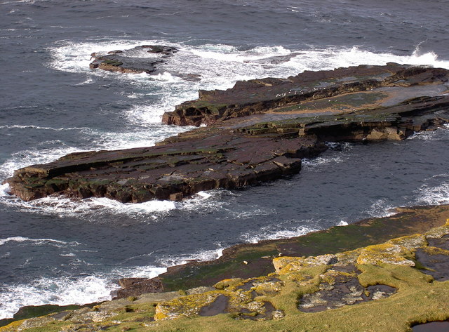
Haas of the Stack is a prominent coastal feature located in Orkney, Scotland. It stands proudly as a headland, jutting out into the North Sea. This stunning geological formation is known for its towering cliffs and distinctive stack, which is a solitary rock column rising from the sea.
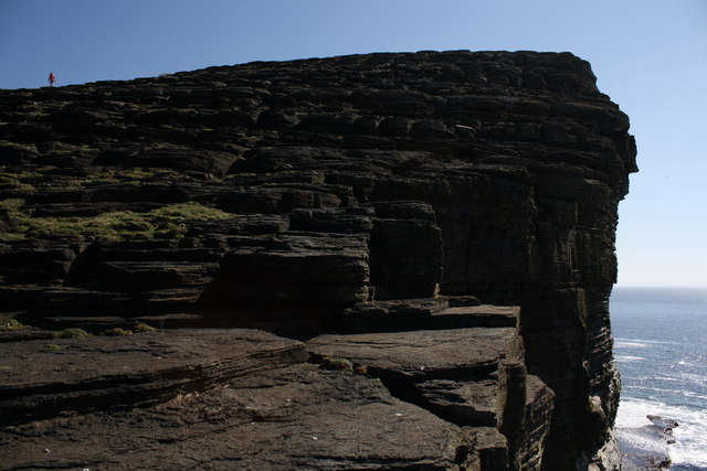
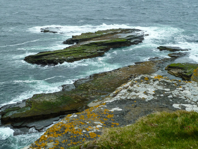
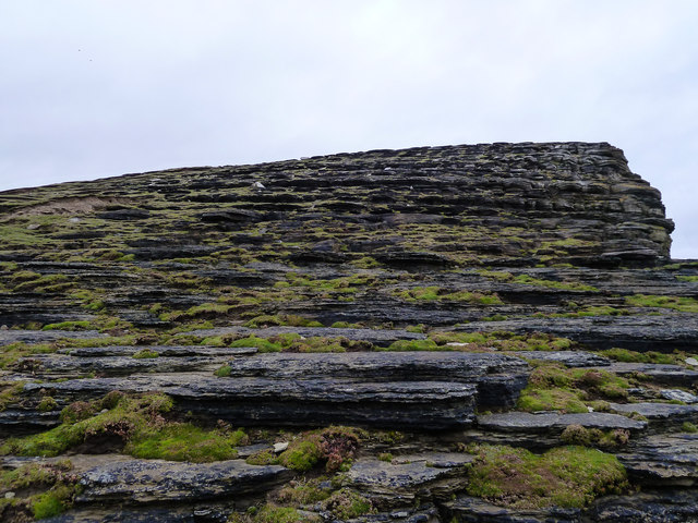
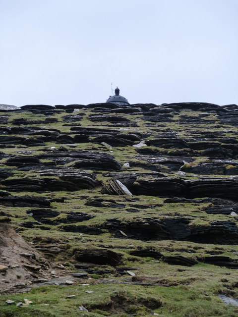
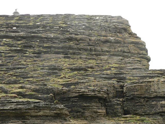
The headland itself is composed of rugged sandstone and is characterized by steep slopes and sharp cliffs that reach heights of up to 200 feet. These cliffs are a result of thousands of years of erosion by the relentless waves and winds of the North Sea.
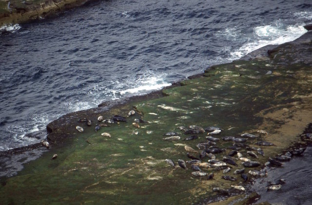
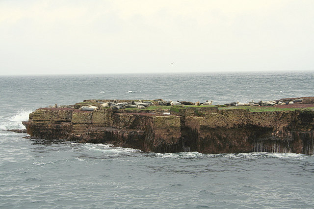
At the tip of the headland, the Haas of the Stack emerges dramatically from the sea. This stack is a testament to the power of nature, as it stands tall and resilient against the crashing waves. It is a popular spot for birdwatchers, as it provides nesting grounds for various seabirds, including guillemots, puffins, and kittiwakes.
The Haas of the Stack is not only a natural wonder but also holds historical significance. It is believed to have been used as a lookout point by the Vikings during their occupation of Orkney. The strategic positioning of the headland and its commanding views of the surrounding sea would have made it an ideal vantage point for monitoring incoming ships.
Today, the Haas of the Stack continues to captivate visitors with its awe-inspiring beauty and rich history. Whether it's the geological marvel or the mesmerizing wildlife, this coastal feature is a must-visit destination for nature lovers and history enthusiasts alike.
If you have any feedback on the listing, please let us know in the comments section below.
Haas of the Stack Images
Images are sourced within 2km of 59.330648/-3.0705136 or Grid Reference HY3949. Thanks to Geograph Open Source API. All images are credited.
Haas of the Stack is located at Grid Ref: HY3949 (Lat: 59.330648, Lng: -3.0705136)
Unitary Authority: Orkney Islands
Police Authority: Highlands and Islands
What 3 Words
///majoring.thank.reliving. Near Pierowall, Orkney Islands
Nearby Locations
Related Wikis

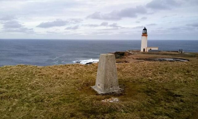
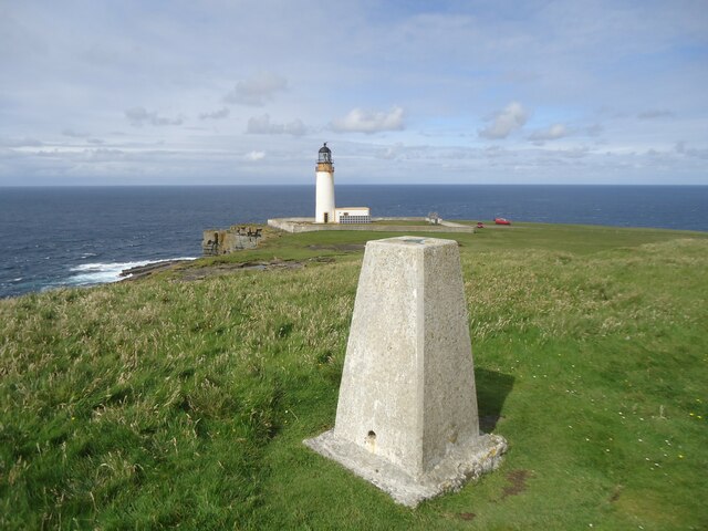
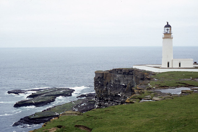
Noup Head Lighthouse
Noup Head Lighthouse lies on the north west headland of the isle of Westray, in Orkney, Scotland. It was constructed by David A Stevenson in 1898 for...

Noltland Castle
Noltland Castle is located near Pierowall on the island of Westray in the Orkney Islands of Scotland. It dates mainly to the later 16th century, although...

Links of Noltland
Links of Noltland is a large prehistoric settlement located on the north coast of the island of Westray in Orkney, Scotland. The extensive ruins includes...

Pierowall
Pierowall is a village of Westray in the Orkney Islands, off the coast of the northern Scottish mainland. The village is the island's largest settlement...
Nearby Amenities
Located within 500m of 59.330648,-3.0705136Have you been to Haas of the Stack?
Leave your review of Haas of the Stack below (or comments, questions and feedback).