English Hole
Coastal Feature, Headland, Point in Orkney
Scotland
English Hole
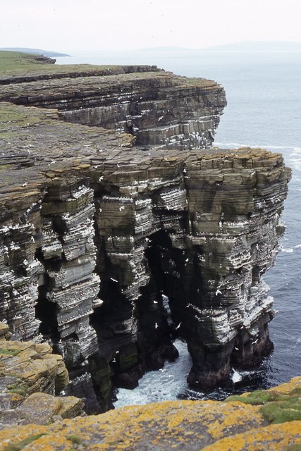
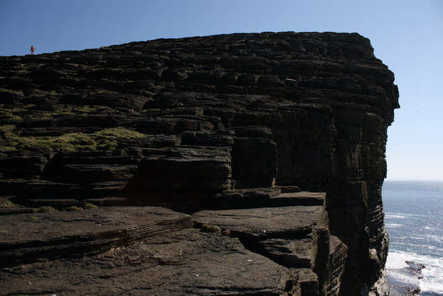
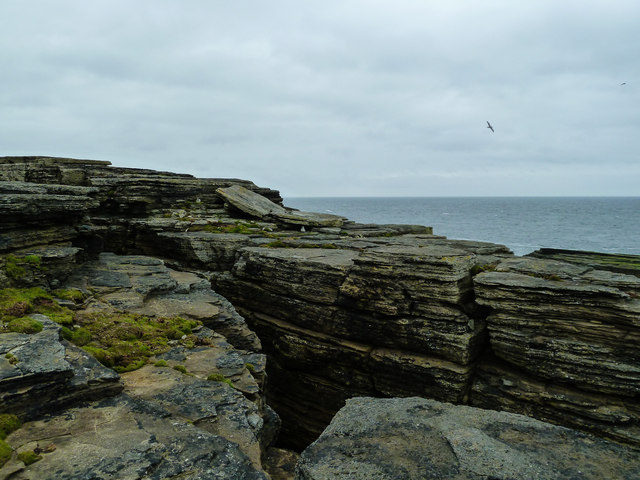
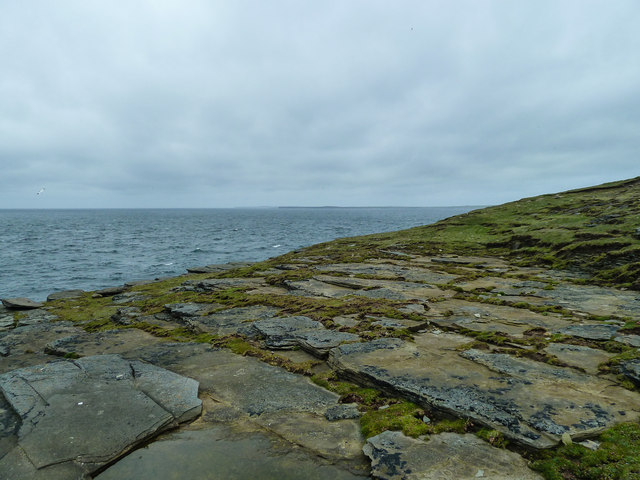
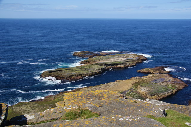
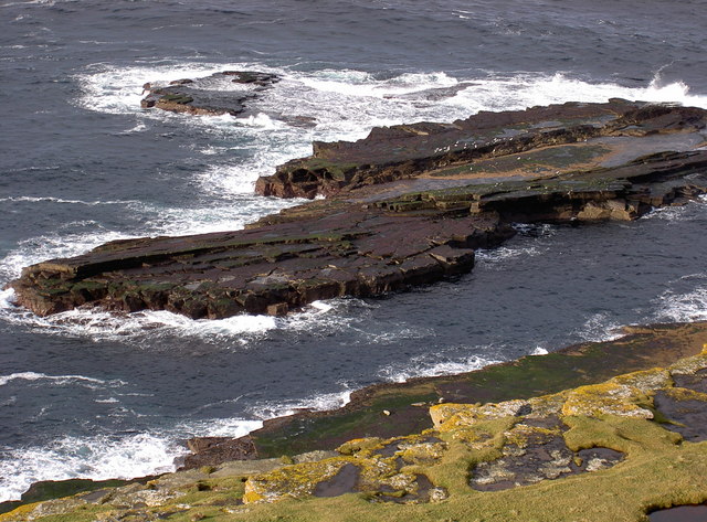
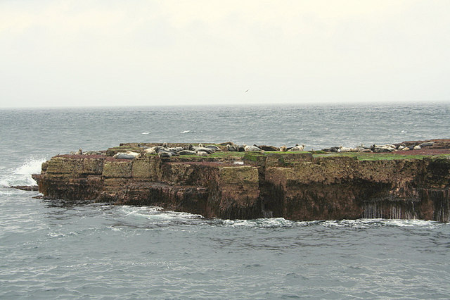
English Hole is a prominent coastal feature located on the northeastern coast of the island of Hoy, which is part of the Orkney archipelago in Scotland. It is situated within the Hoy and West Mainland National Scenic Area, renowned for its rugged cliffs and stunning natural landscapes.
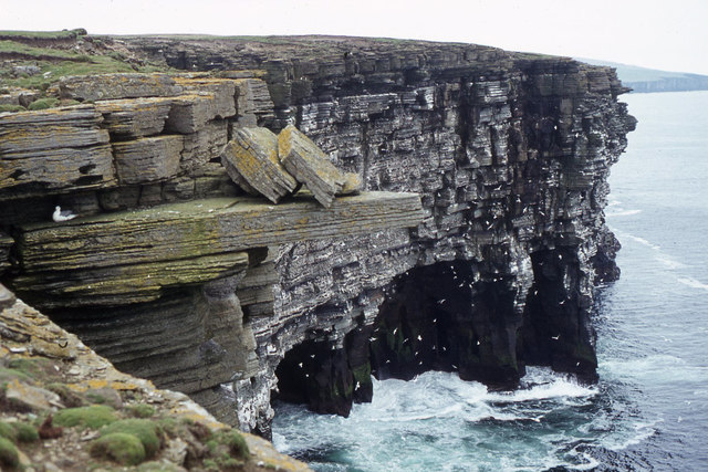
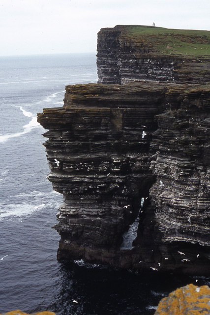
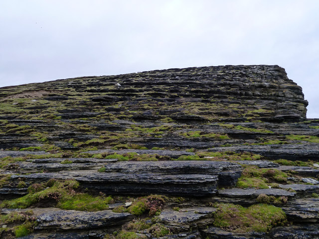
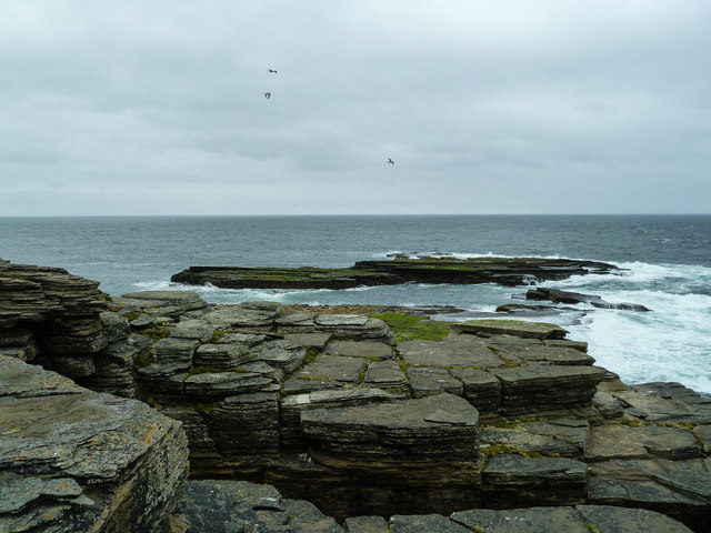
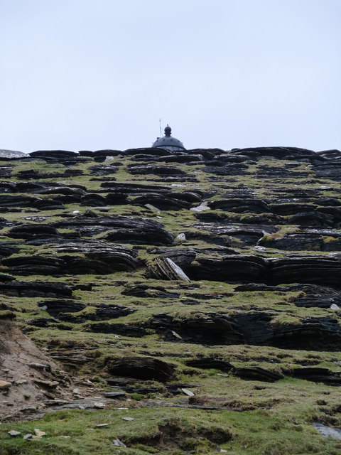
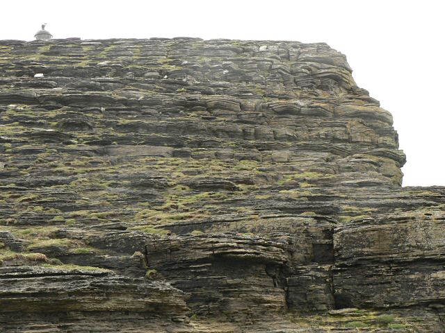
As a headland and point, English Hole boasts towering sea cliffs that reach up to 350 meters in height, making it one of the highest coastal cliffs in the United Kingdom. These cliffs are composed of Old Red Sandstone, a sedimentary rock formation dating back approximately 400 million years.
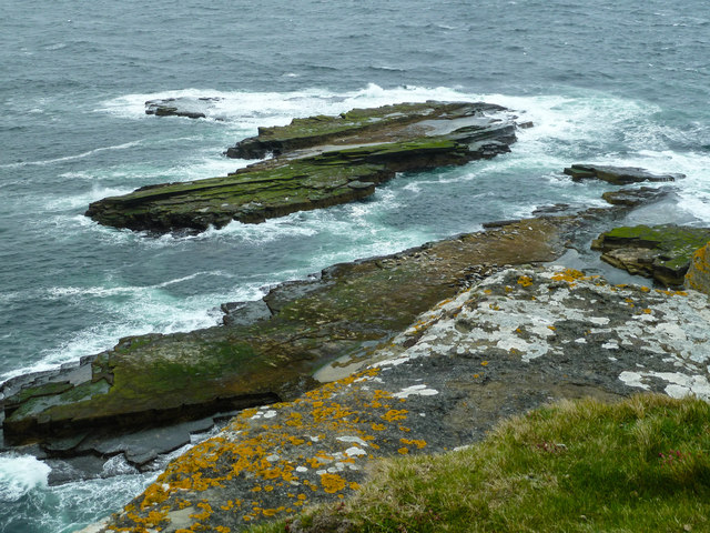
The name "English Hole" is believed to have originated from a historical event where an English ship sought refuge within a natural cove at the base of the cliffs during a storm. The cove, which is now known as Englishman's Cove, offers shelter to boats and small vessels from the strong currents and rough seas of the North Atlantic.
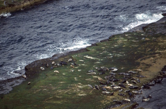
The area surrounding English Hole is rich in wildlife, with various seabird colonies nesting on the cliffs, including guillemots, razorbills, and kittiwakes. Puffins can also be spotted during the breeding season, nesting in the grassy slopes above the cliffs. The coastal waters are frequented by seals and occasionally dolphins.
English Hole is a favorite spot for hiking and birdwatching enthusiasts, offering breathtaking views of the surrounding coastline and the neighboring Orkney islands. It is an iconic landmark of the Orkney archipelago, attracting visitors from far and wide who come to appreciate its natural beauty and dramatic coastal scenery.
If you have any feedback on the listing, please let us know in the comments section below.
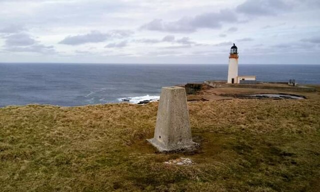
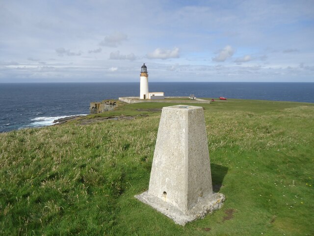
English Hole Images
Images are sourced within 2km of 59.32862/-3.0692899 or Grid Reference HY3949. Thanks to Geograph Open Source API. All images are credited.
English Hole is located at Grid Ref: HY3949 (Lat: 59.32862, Lng: -3.0692899)
Unitary Authority: Orkney Islands
Police Authority: Highlands and Islands
What 3 Words
///grin.angry.sharpens. Near Pierowall, Orkney Islands
Nearby Locations
Related Wikis

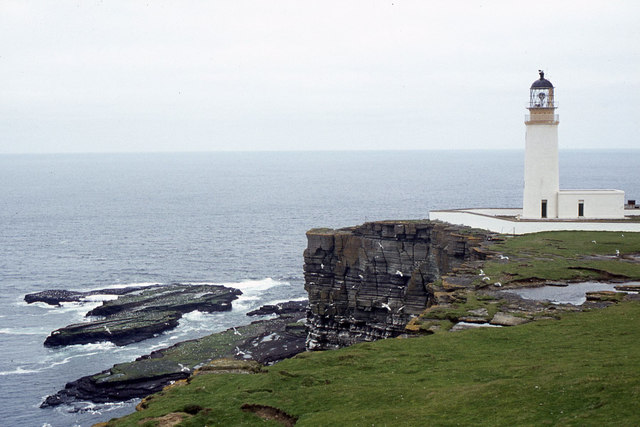
Noup Head Lighthouse
Noup Head Lighthouse lies on the north west headland of the isle of Westray, in Orkney, Scotland. It was constructed by David A Stevenson in 1898 for...

Noltland Castle
Noltland Castle is located near Pierowall on the island of Westray in the Orkney Islands of Scotland. It dates mainly to the later 16th century, although...

Links of Noltland
Links of Noltland is a large prehistoric settlement located on the north coast of the island of Westray in Orkney, Scotland. The extensive ruins includes...

Pierowall
Pierowall is a village of Westray in the Orkney Islands, off the coast of the northern Scottish mainland. The village is the island's largest settlement...
Nearby Amenities
Located within 500m of 59.32862,-3.0692899Have you been to English Hole?
Leave your review of English Hole below (or comments, questions and feedback).