The Powe
Coastal Feature, Headland, Point in Caithness
Scotland
The Powe
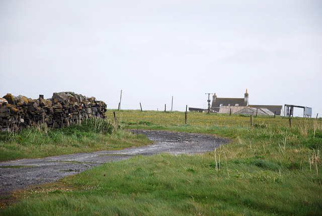
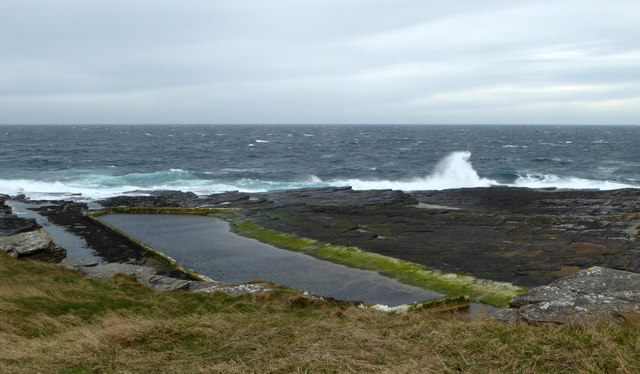
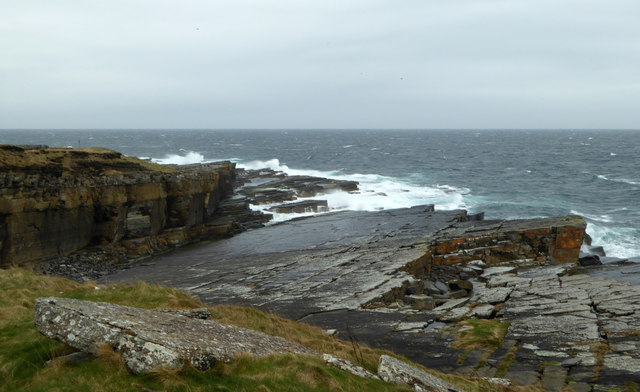
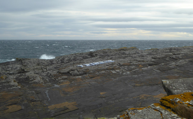
The Powe is a prominent coastal feature located in Caithness, Scotland. It is classified as a headland or point, jutting out into the North Sea. This coastal formation is situated approximately 4 kilometers northeast of the town of Wick.
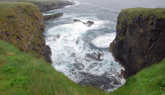
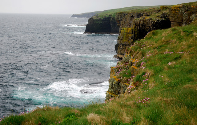
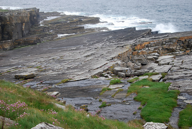
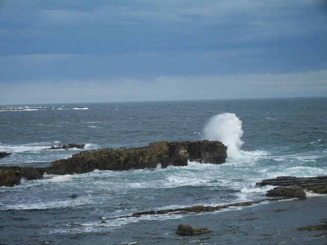
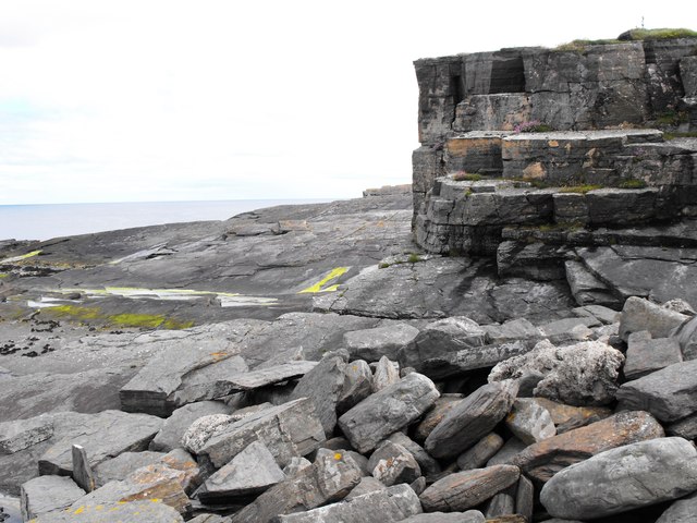
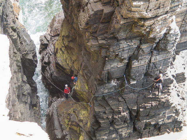
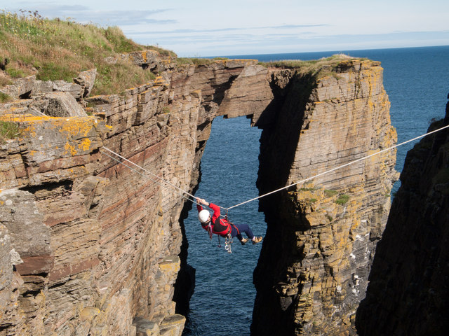
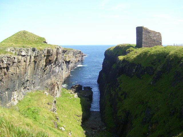
The Powe is characterized by its rugged and dramatic landscape, with steep cliffs rising up from the sea. These cliffs are composed of sedimentary rocks, primarily sandstone and limestone, which have been shaped by erosion over thousands of years. The exposed rock formations showcase stunning natural patterns and colors, adding to the visual appeal of the area.
The headland offers breathtaking panoramic views of the surrounding coastline, with the North Sea stretching out as far as the eye can see. On clear days, it is possible to spot various seabirds soaring above the cliffs or nesting in the crevices. The Powe is also known for its diverse marine life, with seals, dolphins, and occasionally even whales being spotted in the waters below.
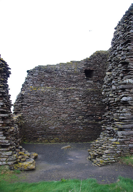
The area surrounding The Powe is rich in history and cultural heritage. There are remnants of ancient settlements and archaeological sites nearby, indicating human activity in the area dating back thousands of years. The Powe is also associated with various legends and folklore, adding an element of mystique to the already enchanting landscape.
Overall, The Powe in Caithness is a captivating coastal feature that offers a unique blend of natural beauty, wildlife, and historical significance. It is a must-visit destination for nature enthusiasts, photographers, and anyone seeking to immerse themselves in the stunning coastal landscapes of Scotland.
If you have any feedback on the listing, please let us know in the comments section below.
The Powe Images
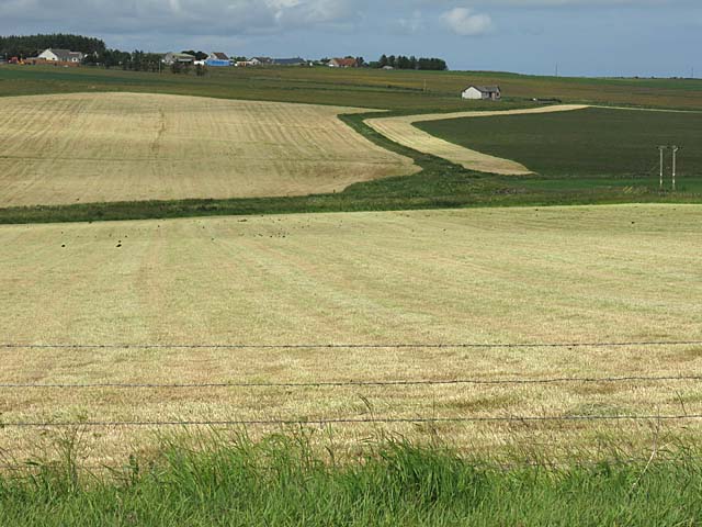
Images are sourced within 2km of 58.427338/-3.0715703 or Grid Reference ND3749. Thanks to Geograph Open Source API. All images are credited.

The Powe is located at Grid Ref: ND3749 (Lat: 58.427338, Lng: -3.0715703)
Unitary Authority: Highland
Police Authority: Highlands and Islands
What 3 Words
///renews.midwinter.exhaled. Near Wick, Highland
Nearby Locations
Related Wikis
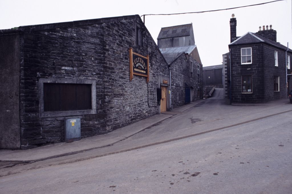
Old Pulteney distillery
Old Pulteney distillery is a malt whisky production and aging facility in the Pulteneytown area of Wick, Caithness, in the Highland area of Scotland. The...

Harmsworth Park
Harmsworth Park is a football ground in Wick in the Scottish Highlands of Scotland, which is the home ground of Highland Football League side Wick Academy...

Pulteneytown Parish Church
Pulteneytown Parish Church is located in Argyle Square, Pulteneytown, Wick, Caithness, Scotland. It is a congregation in the Church of Scotland. The church...
Wick Town and County Hospital
Wick Town and County Hospital is a health facility in Seaforth Avenue, Wick, Scotland. It is managed by NHS Highland. == History == The facility, which...
Nearby Amenities
Located within 500m of 58.427338,-3.0715703Have you been to The Powe?
Leave your review of The Powe below (or comments, questions and feedback).