Robbie's Craig
Coastal Feature, Headland, Point in Caithness
Scotland
Robbie's Craig
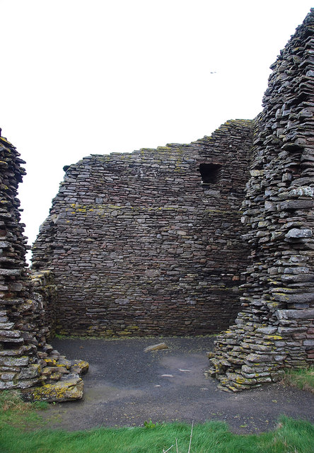
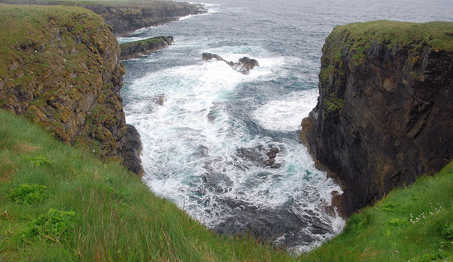
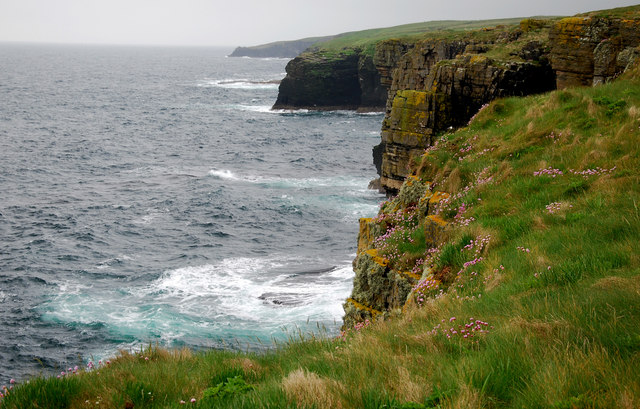
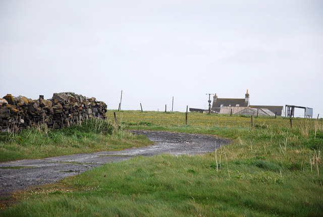
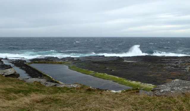
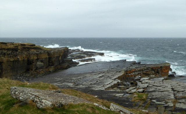
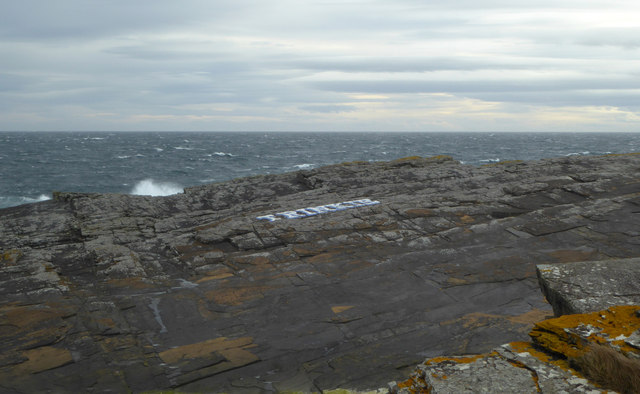
Robbie's Craig is a prominent coastal feature located in Caithness, Scotland. It is a headland that extends into the North Sea, forming a distinctive point along the coastline. With its rugged beauty and unique geological formations, Robbie's Craig has become a popular destination for nature enthusiasts and photographers.
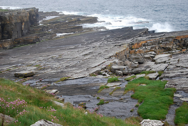
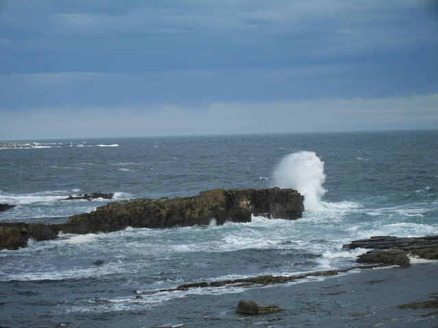
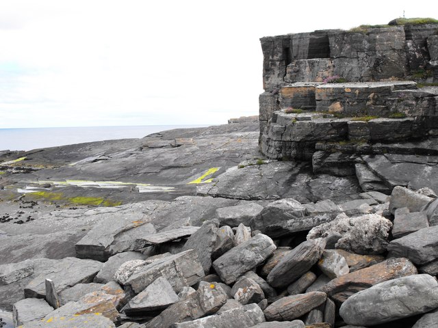
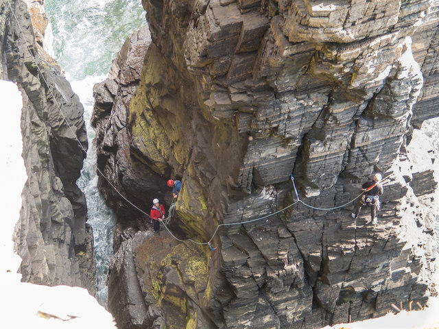
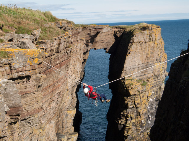
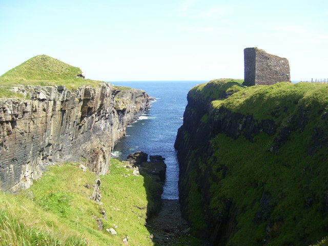
The headland is characterized by towering cliffs that reach heights of up to 100 feet, providing breathtaking views of the surrounding sea and coastline. These cliffs are composed of layers of sandstone and shale, showcasing the area's geological history. At the base of the cliffs, there are often rock formations and caves, which are fascinating to explore.
One of the notable features of Robbie's Craig is its abundant wildlife. The headland is home to a variety of seabirds, including puffins, guillemots, and fulmars. Visitors can witness these birds nesting and soaring above the cliffs, creating a vibrant and lively atmosphere.
The coastal path that runs along Robbie's Craig offers an excellent opportunity for hikers and walkers to experience the beauty of the area. As they traverse the path, visitors can admire the dramatic coastline, spot marine life in the clear waters below, and even catch a glimpse of seals and dolphins if they are lucky.
Overall, Robbie's Craig in Caithness is a stunning headland that offers a unique blend of natural beauty, geological wonders, and diverse wildlife. It is a must-visit destination for those seeking a peaceful and awe-inspiring coastal experience in Scotland.
If you have any feedback on the listing, please let us know in the comments section below.
Robbie's Craig Images
Images are sourced within 2km of 58.434615/-3.0724081 or Grid Reference ND3750. Thanks to Geograph Open Source API. All images are credited.


Robbie's Craig is located at Grid Ref: ND3750 (Lat: 58.434615, Lng: -3.0724081)
Unitary Authority: Highland
Police Authority: Highlands and Islands
What 3 Words
///submitted.alas.overheat. Near Wick, Highland
Nearby Locations
Related Wikis
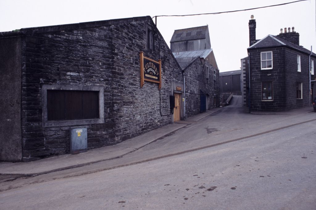
Old Pulteney distillery
Old Pulteney distillery is a malt whisky production and aging facility in the Pulteneytown area of Wick, Caithness, in the Highland area of Scotland. The...

Pulteneytown Parish Church
Pulteneytown Parish Church is located in Argyle Square, Pulteneytown, Wick, Caithness, Scotland. It is a congregation in the Church of Scotland. The church...

Pulteneytown Central Church
Pulteneytown Central Church was founded in 1806 in the Pulteneytown area of Wick in Caithness in the far north of Scotland. As years went by, it was renamed...
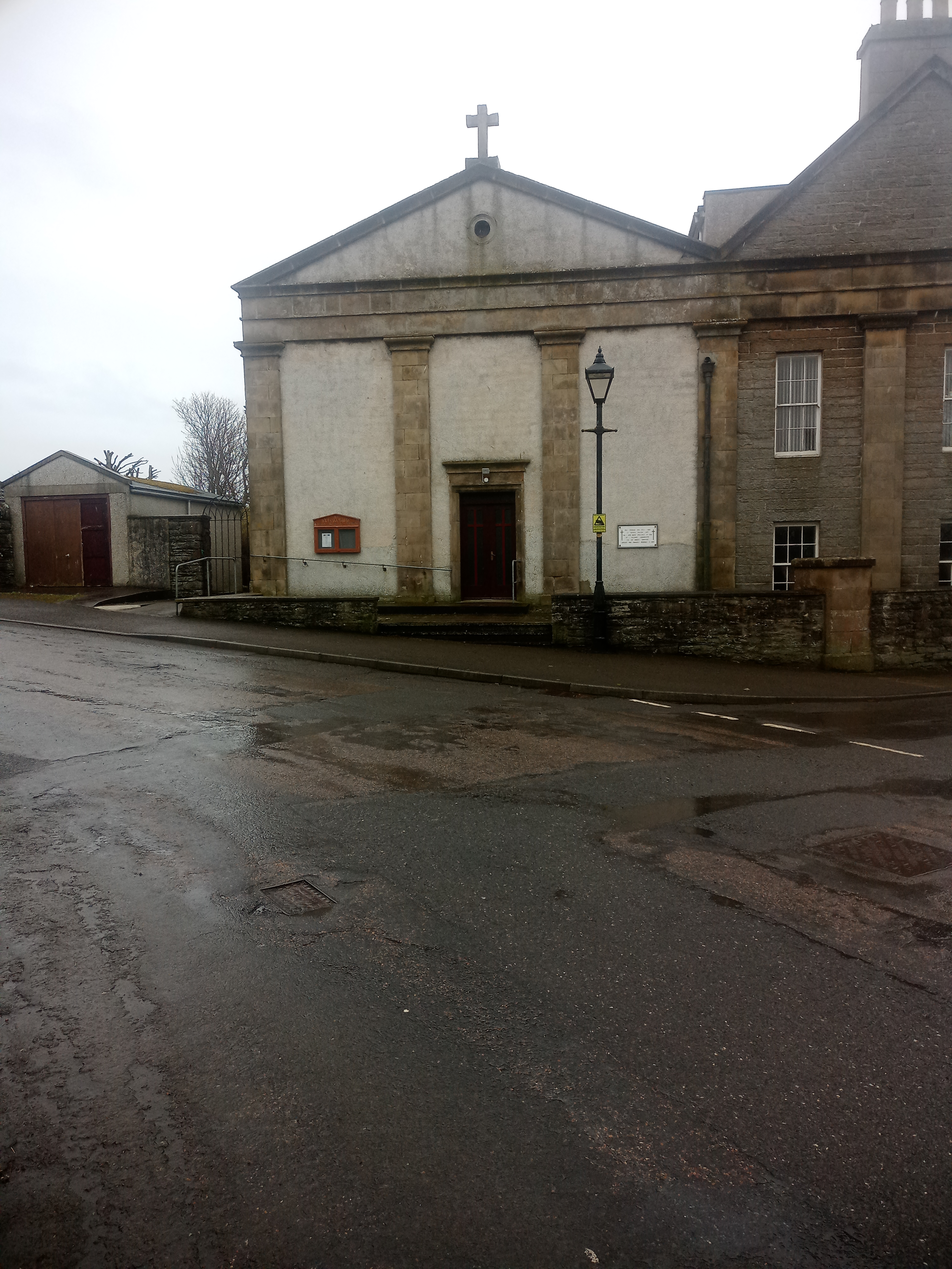
St Joachim's Church, Wick
St Joachim's Church is a Category B listed Roman Catholic church in Wick, Scotland. == History == There was no significant Catholic congregation in Wick...
Nearby Amenities
Located within 500m of 58.434615,-3.0724081Have you been to Robbie's Craig?
Leave your review of Robbie's Craig below (or comments, questions and feedback).