Sillock Geo
Coastal Feature, Headland, Point in Orkney
Scotland
Sillock Geo
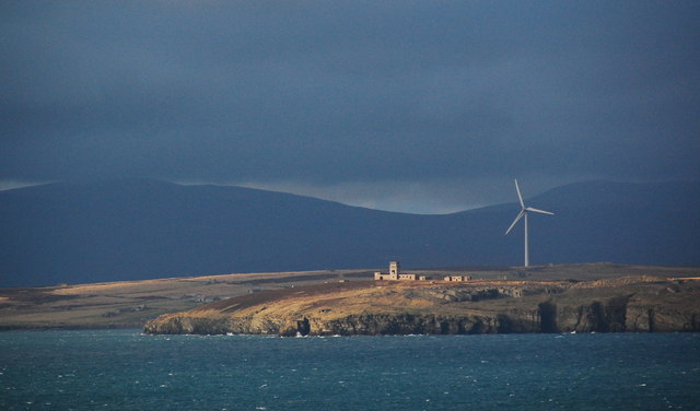
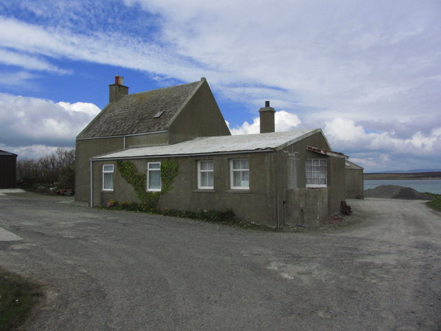
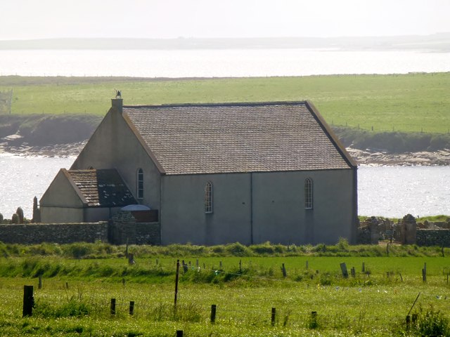
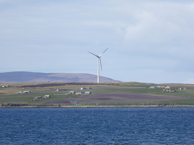
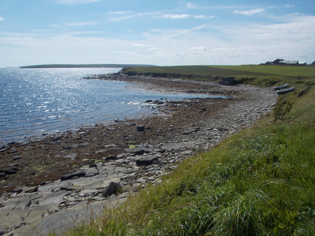
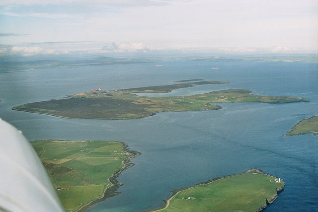
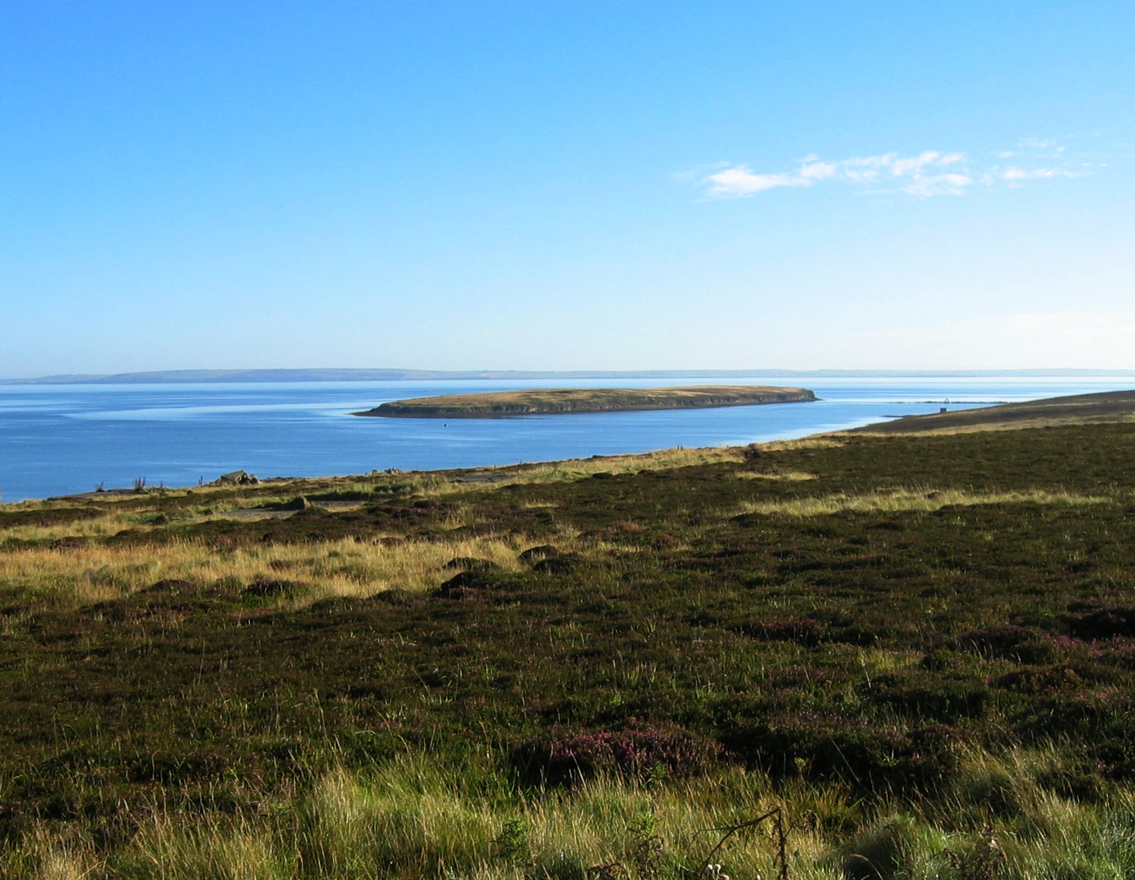
Sillock Geo is a prominent coastal feature located on the Orkney Islands, an archipelago situated off the northeastern coast of Scotland. It is a headland characterized by its rugged cliffs and rocky shoreline, jutting out into the North Sea. Sillock Geo is positioned on the southeastern coast of Orkney Mainland, near the village of St. Margaret's Hope.
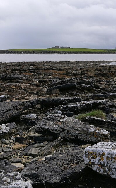
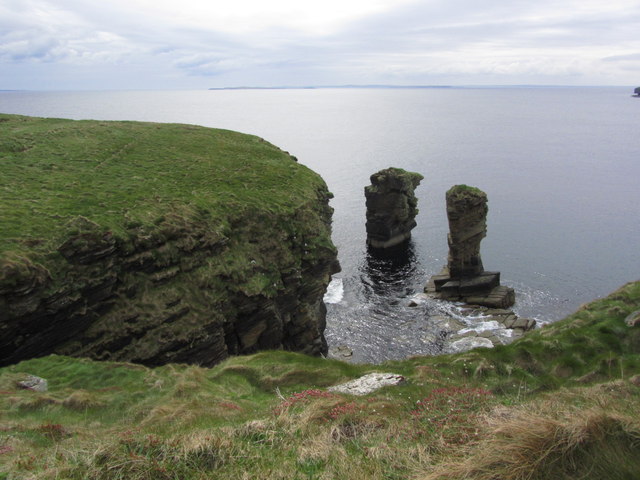
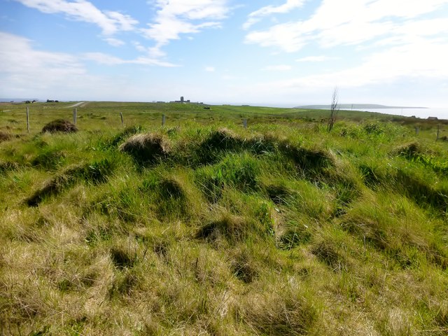
The headland is formed by layers of sedimentary rocks, primarily sandstone and shale, which have been eroded by the relentless forces of wind and water. The cliffs at Sillock Geo reach heights of approximately 30 meters (98 feet), offering breathtaking views of the surrounding coastline and the vast expanse of the sea.
The exposed rocky shoreline of Sillock Geo is rich in marine life, providing a habitat for various species of seaweed, mollusks, and crustaceans. The area is particularly renowned for its birdlife, with numerous seabirds nesting on the cliffs, including guillemots, puffins, and fulmars.
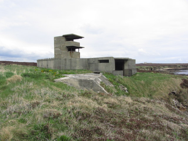
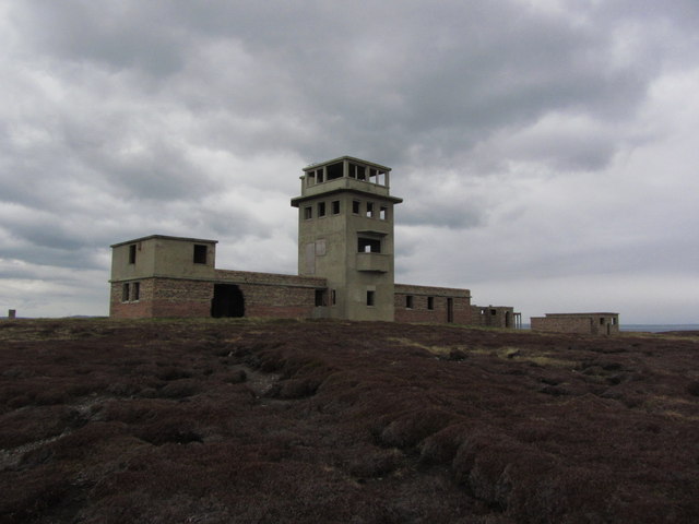
Sillock Geo also holds historical significance, with the remains of an Iron Age broch located nearby. Brochs were circular stone towers that served as fortified residences during the Iron Age in Scotland.
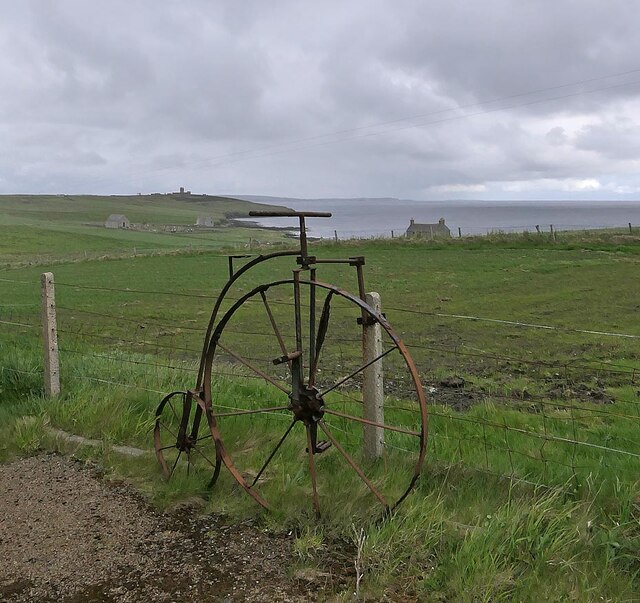
The headland is a popular destination for nature enthusiasts, hikers, and birdwatchers, who come to appreciate the stunning coastal scenery and observe the diverse wildlife. It is recommended to visit Sillock Geo during low tide, as it allows for exploration of the tidal pools and caves that dot the shoreline.
If you have any feedback on the listing, please let us know in the comments section below.
Sillock Geo Images
Images are sourced within 2km of 58.822798/-3.0835595 or Grid Reference ND3793. Thanks to Geograph Open Source API. All images are credited.


Sillock Geo is located at Grid Ref: ND3793 (Lat: 58.822798, Lng: -3.0835595)
Unitary Authority: Orkney Islands
Police Authority: Highlands and Islands
What 3 Words
///rattler.automatic.pocket. Near St Margaret's Hope, Orkney Islands
Nearby Locations
Related Wikis

Whome
Whome is the largest settlement on the Orkney island of Flotta, Scotland. The village is situated on the B9046, the main road across Flotta. Views from...
Flotta
Flotta () is a small island in Orkney, Scotland, lying in Scapa Flow. The island is known for its large oil terminal and is linked by Orkney Ferries to...

Switha
Switha is a small uninhabited island towards the south of Orkney, Scotland, approximately 41 hectares in area. == Geography and geology == Switha lies...
Calf of Flotta
The Calf of Flotta is a small island in Scapa Flow, Orkney. The Calf is next to Flotta, with "Calf" deriving from Old Norse/Norn and meaning a smaller...

HMS Vanguard (1909)
HMS Vanguard was one of three St Vincent-class dreadnought battleships built for the Royal Navy in the first decade of the 20th century. She spent her...

Hackness Martello Tower and Battery
Hackness Martello Tower and Battery is a British Army barracks and museum located on the island of South Walls, in Orkney, Scotland. == History == The...
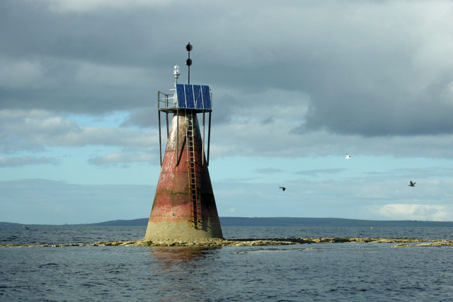
Nevi Skerry
Nevi Skerry is a skerry situated in Scapa Flow in the Orkney Islands. The skerry is situated approximately 1 km (0.62 mi) east of Flotta and approximately...
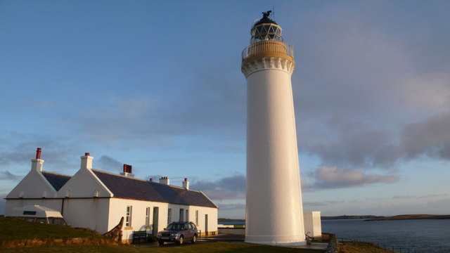
Cantick Head Lighthouse
The Cantick Head Lighthouse is an active 19th century lighthouse on the Scottish island of South Walls in the Orkney Islands. It is located at the end...
Nearby Amenities
Located within 500m of 58.822798,-3.0835595Have you been to Sillock Geo?
Leave your review of Sillock Geo below (or comments, questions and feedback).