Scarf's Craig
Coastal Feature, Headland, Point in Caithness
Scotland
Scarf's Craig
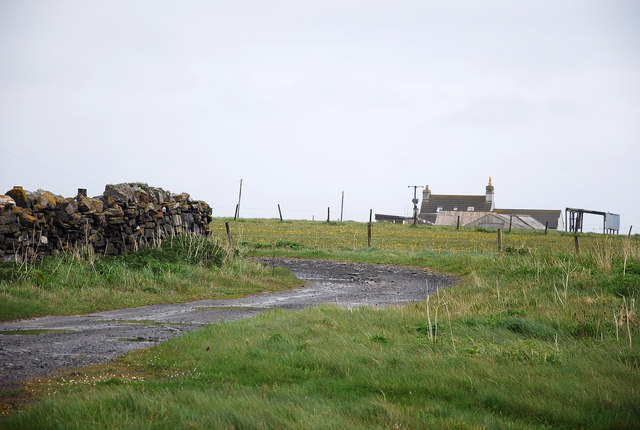
Scarf's Craig is a prominent coastal feature located in Caithness, Scotland. It is classified as a headland or point and is situated along the rugged and picturesque coastline.
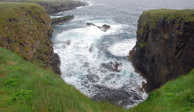
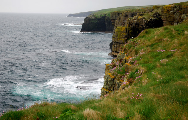
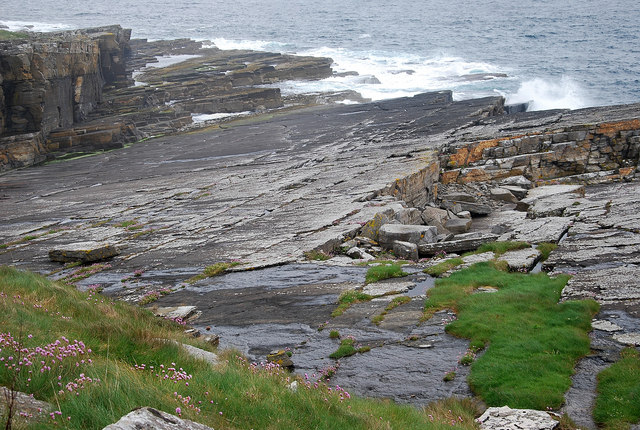
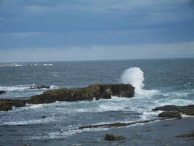
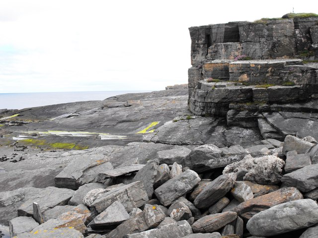
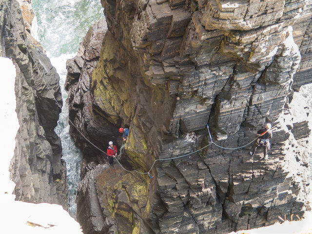
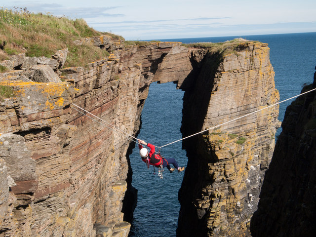
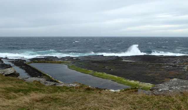
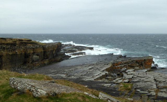
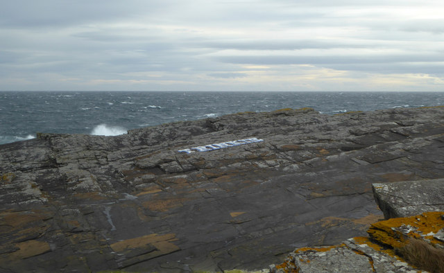
The headland of Scarf's Craig extends out into the North Sea, creating a distinctive and dramatic landscape. It is characterized by its towering cliffs, which rise steeply from the crashing waves below. These cliffs are composed of layers of sedimentary rock, displaying a variety of colors and textures that add to the beauty of the area.
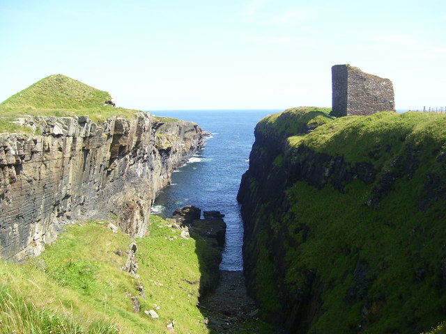
At the top of Scarf's Craig, there is a flat grassy area that offers breathtaking panoramic views of the surrounding coastline. This vantage point provides visitors with an opportunity to observe the vast expanse of the sea, as well as the stunning cliffs and rocky shores that stretch out in either direction.
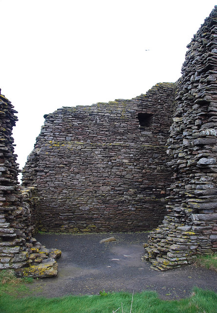
The location of Scarf's Craig is also of historical significance, as it is believed to have been a strategic lookout point during ancient times. There are remnants of fortifications and defensive structures that have been discovered in the area, further adding to its historical appeal.
Due to its rugged beauty and historical significance, Scarf's Craig attracts a number of visitors each year. It is a popular spot for nature enthusiasts, hikers, and photographers, who come to appreciate its natural splendor and capture its stunning vistas. Additionally, the area provides opportunities for birdwatching, as it is home to a variety of seabirds and other coastal species.
If you have any feedback on the listing, please let us know in the comments section below.
Scarf's Craig Images
Images are sourced within 2km of 58.433163/-3.0699149 or Grid Reference ND3749. Thanks to Geograph Open Source API. All images are credited.


Scarf's Craig is located at Grid Ref: ND3749 (Lat: 58.433163, Lng: -3.0699149)
Unitary Authority: Highland
Police Authority: Highlands and Islands
What 3 Words
///renew.flush.circus. Near Wick, Highland
Nearby Locations
Related Wikis
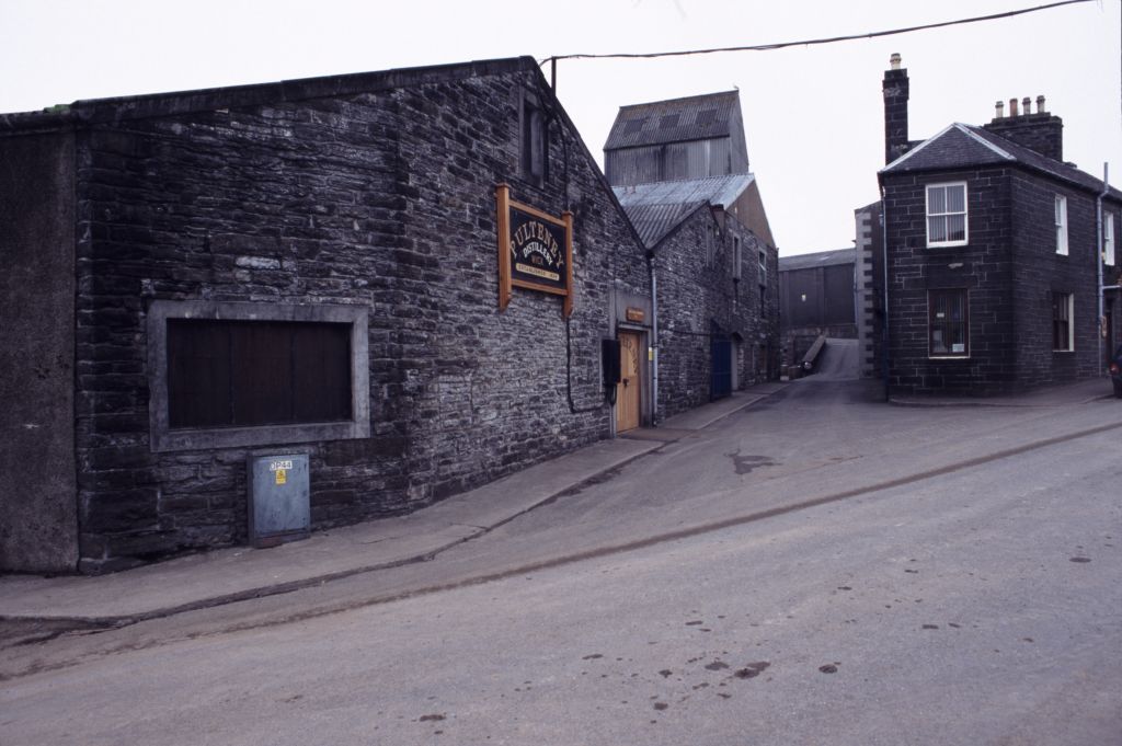
Old Pulteney distillery
Old Pulteney distillery is a malt whisky production and aging facility in the Pulteneytown area of Wick, Caithness, in the Highland area of Scotland. The...
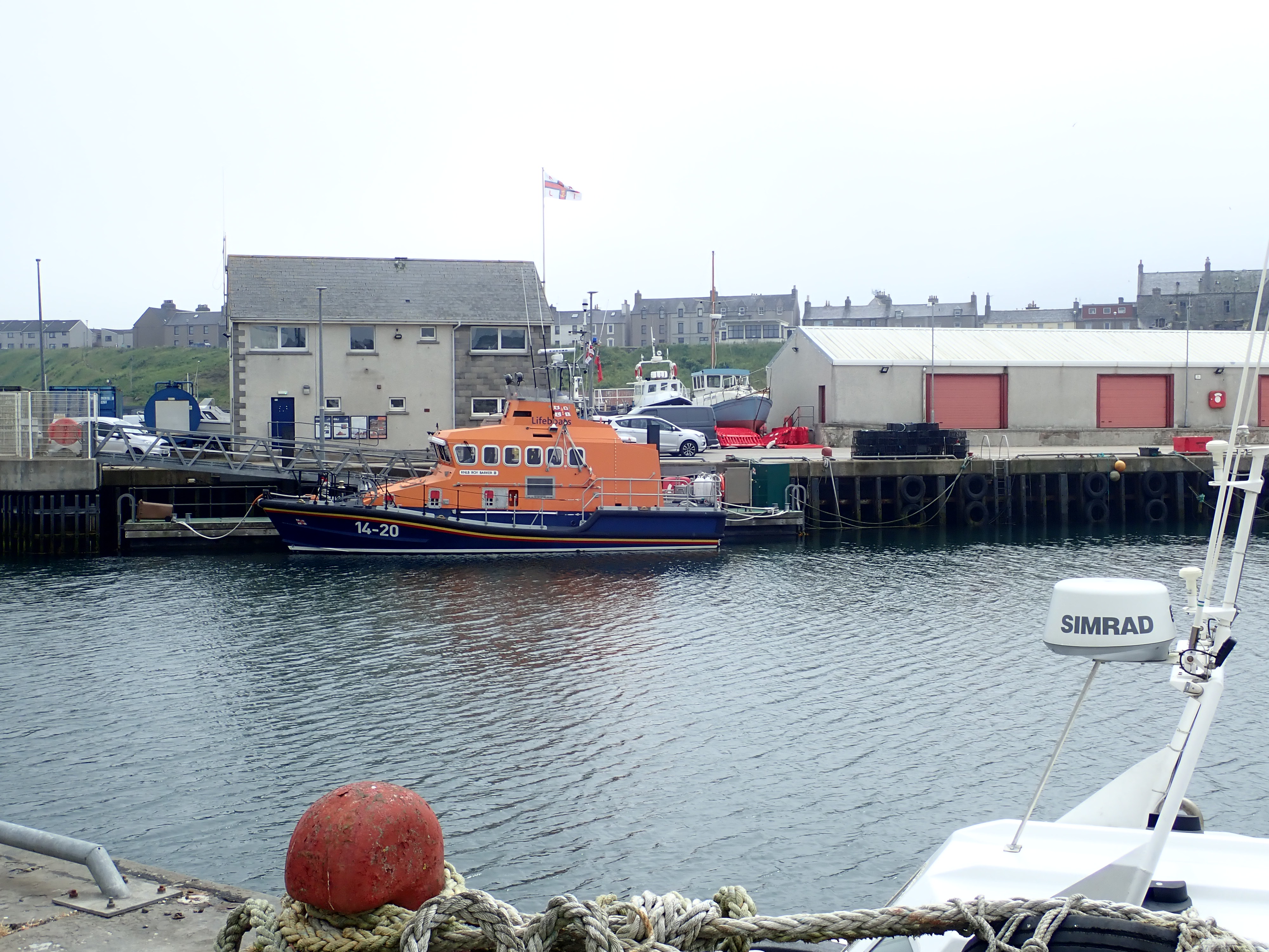
Wick Lifeboat Station
Wick Lifeboat Station is located at the harbour town and royal burgh of Wick, Highland, in the NE corner of Scotland, in the historic county of Caithness...

Pulteneytown Parish Church
Pulteneytown Parish Church is located in Argyle Square, Pulteneytown, Wick, Caithness, Scotland. It is a congregation in the Church of Scotland. The church...

Pulteneytown Central Church
Pulteneytown Central Church was founded in 1806 in the Pulteneytown area of Wick in Caithness in the far north of Scotland. As years went by, it was renamed...
Nearby Amenities
Located within 500m of 58.433163,-3.0699149Have you been to Scarf's Craig?
Leave your review of Scarf's Craig below (or comments, questions and feedback).