Long Berry
Sea, Estuary, Creek in Caithness
Scotland
Long Berry
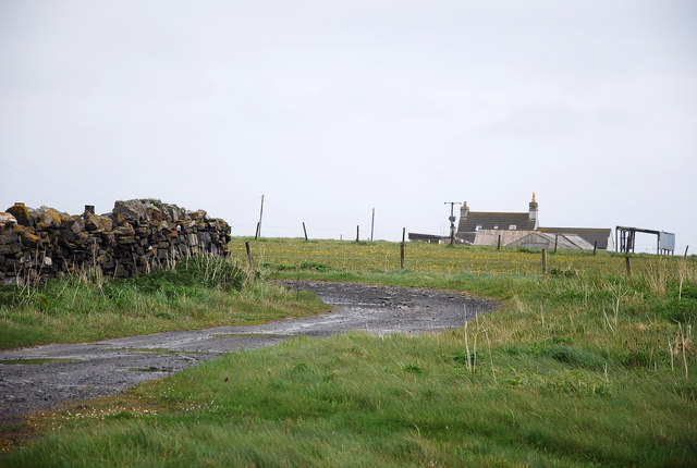
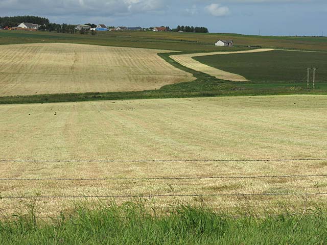
Longberry is a picturesque coastal village located in the county of Caithness, Scotland. Situated on the northernmost coast of the country, it is nestled between the majestic North Sea and a serene estuary. The village gets its name from the abundance of long, lush berries that grow in the surrounding area.
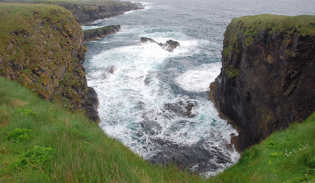
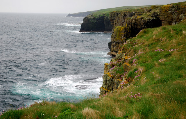
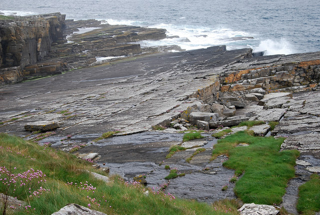
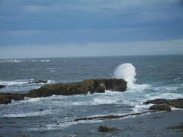
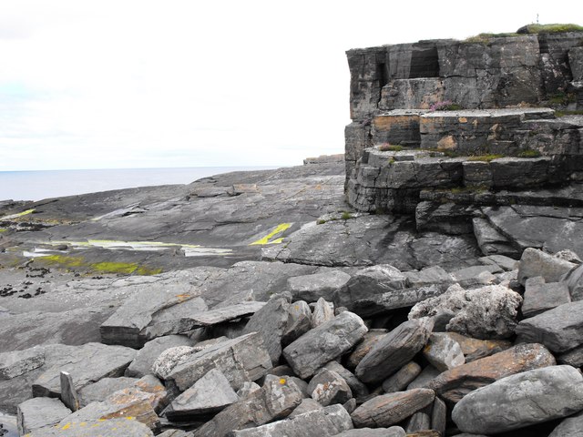
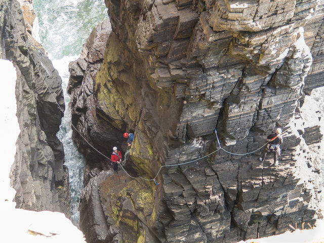
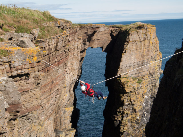
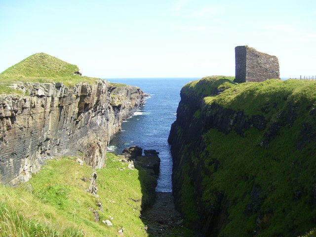
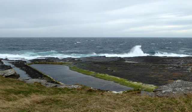
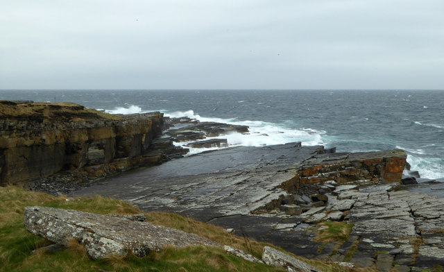
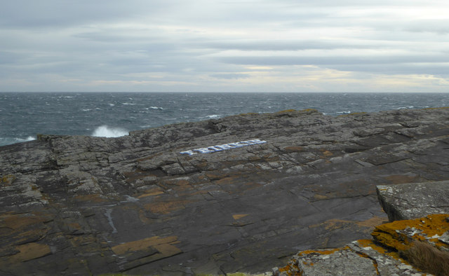
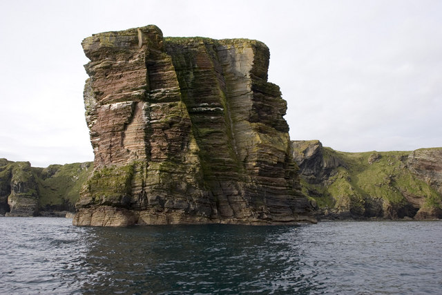
The coastline of Longberry is characterized by its rugged beauty, with towering cliffs and rocky outcrops jutting out into the sea. The crashing waves of the North Sea provide a dramatic backdrop, creating a sense of awe and tranquility. The beach, composed of a mixture of sand and pebbles, stretches for miles and offers breathtaking views of the horizon. It is a popular spot for locals and tourists alike, who enjoy long walks along the shore and the opportunity to witness stunning sunsets.
The estuary, located to the west of the village, is a haven for wildlife. It is home to a variety of bird species, including herons, oystercatchers, and curlews, making it a paradise for birdwatching enthusiasts. The estuary is also a breeding ground for several fish species, attracting anglers from afar who try their luck in catching salmon and trout.
A tranquil creek meanders through the heart of Longberry, providing a peaceful setting for residents and visitors to relax and enjoy the soothing sounds of running water. Lined with trees and wildflowers, the creek is a haven for wildlife, and otters can often be spotted frolicking in its clear waters.
Longberry, with its stunning coastal scenery, abundant wildlife, and peaceful atmosphere, is a true gem of Caithness. It offers a unique blend of natural beauty and tranquility, making it an idyllic destination for nature lovers and those seeking a peaceful retreat.
If you have any feedback on the listing, please let us know in the comments section below.
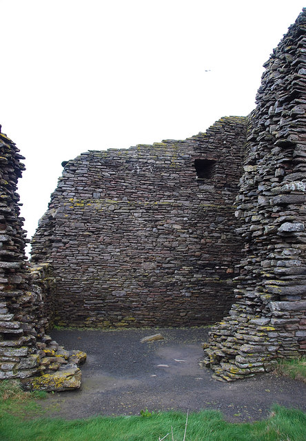
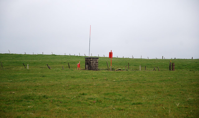
Long Berry Images
Images are sourced within 2km of 58.425176/-3.0756139 or Grid Reference ND3749. Thanks to Geograph Open Source API. All images are credited.

Long Berry is located at Grid Ref: ND3749 (Lat: 58.425176, Lng: -3.0756139)
Unitary Authority: Highland
Police Authority: Highlands and Islands
What 3 Words
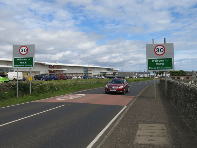
///smallest.shameless.emphasis. Near Wick, Highland
Nearby Locations
Related Wikis
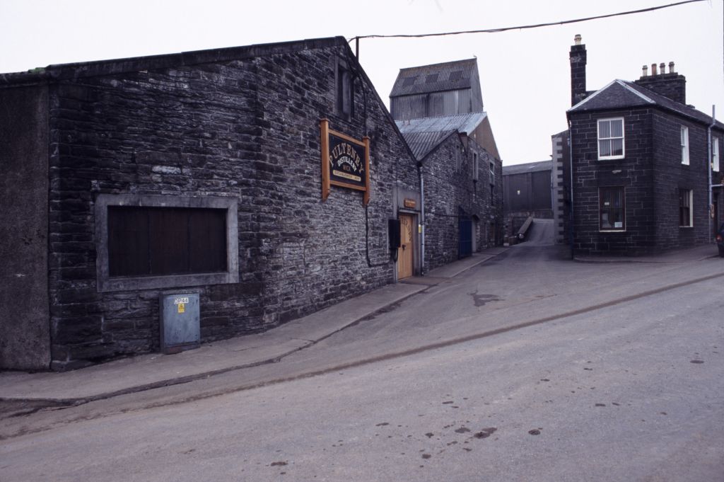
Old Pulteney distillery
Old Pulteney distillery is a malt whisky production and aging facility in the Pulteneytown area of Wick, Caithness, in the Highland area of Scotland. The...

Harmsworth Park
Harmsworth Park is a football ground in Wick in the Scottish Highlands of Scotland, which is the home ground of Highland Football League side Wick Academy...
Whiterow
Whiterow is a small coastal hamlet, on the east coast of Caithness, lying 1 mile southeast of Wick, Scottish Highlands. It is in the Scottish council area...

A99 road
The A99 road is entirely within the former county of Caithness in the Highland of Scotland. It runs generally north/northeast from the A9 at Latheron to...
Nearby Amenities
Located within 500m of 58.425176,-3.0756139Have you been to Long Berry?
Leave your review of Long Berry below (or comments, questions and feedback).