Gunnagairn
Coastal Feature, Headland, Point in Orkney
Scotland
Gunnagairn
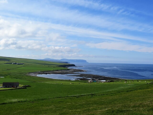
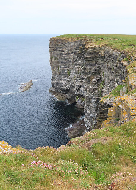
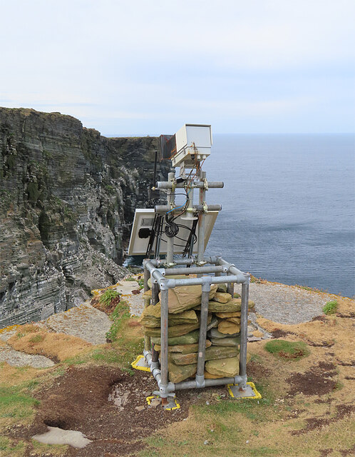
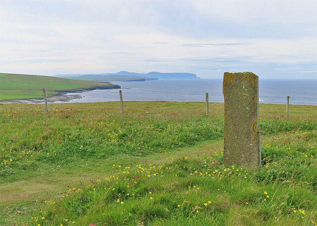
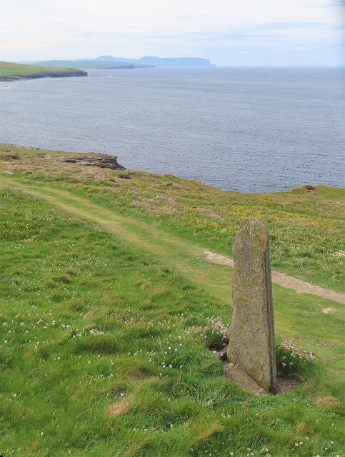
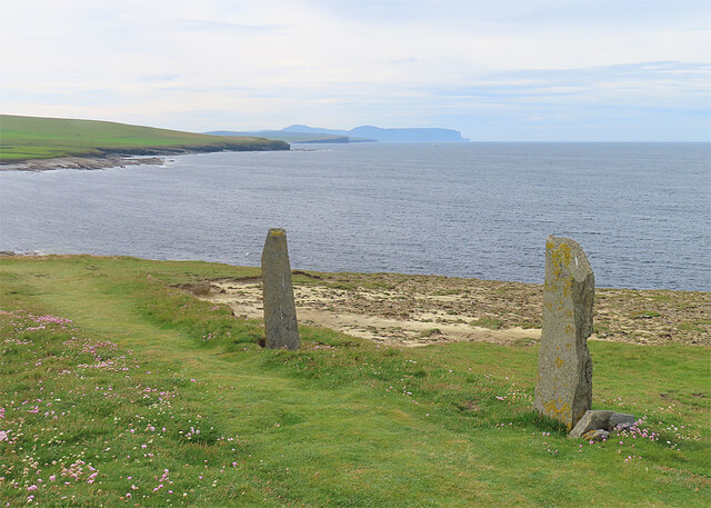
Gunnagairn is a prominent coastal feature located in Orkney, an archipelago in the northern part of Scotland. Situated on the eastern side of the main island, Gunnagairn is known for its picturesque headland and point, offering stunning views of the North Sea.
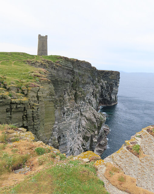
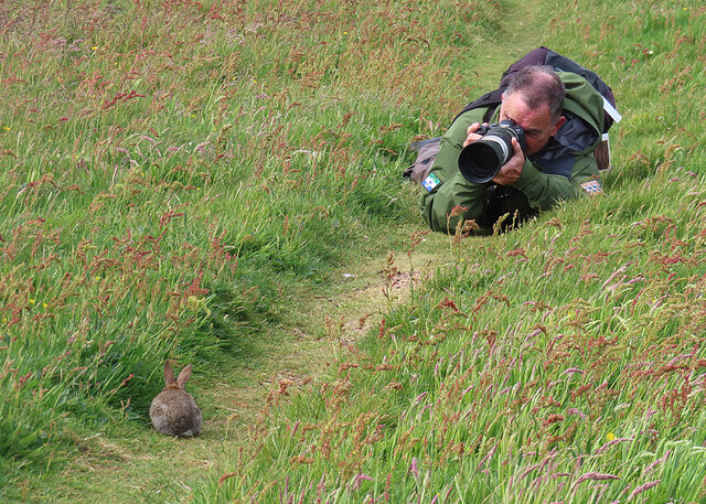
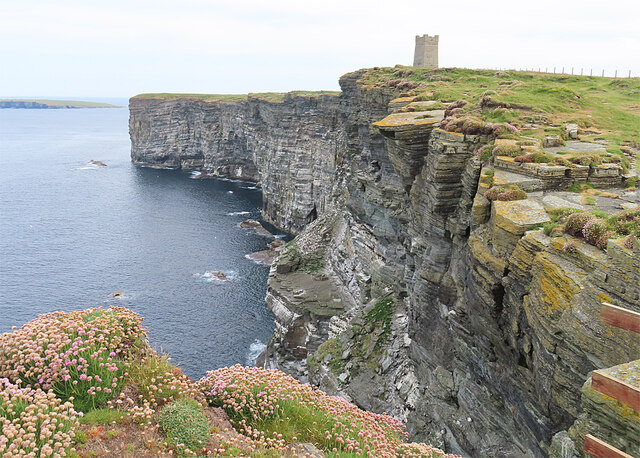
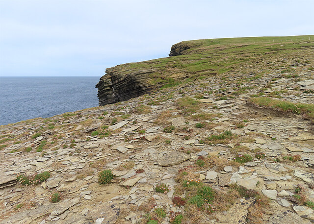
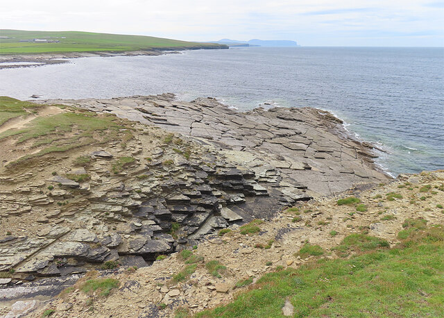
The headland rises dramatically from the surrounding landscape, forming a towering cliff that overlooks the crashing waves below. Its rugged and rocky terrain is a result of years of erosion by the relentless sea, creating a visually striking spectacle. The headland also serves as a nesting site for various seabirds, including puffins, fulmars, and kittiwakes, adding to the area's natural beauty and biodiversity.
Gunnagairn's point extends further into the sea, acting as a natural breakwater against the powerful currents and tides. This point is a popular spot for anglers, who are drawn to its deep waters teeming with fish.
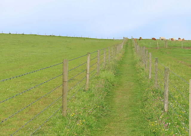
Visitors to Gunnagairn can enjoy breathtaking walks along the cliff tops, taking in the panoramic views of the surrounding coastline and neighboring islands. The headland also provides opportunities for rock climbing enthusiasts, with its challenging cliffs attracting climbers from near and far.
Gunnagairn is easily accessible by road, with a parking area and footpaths allowing visitors to explore the area safely. Its natural beauty and diverse wildlife make it a must-visit destination for nature lovers and outdoor enthusiasts in Orkney.
If you have any feedback on the listing, please let us know in the comments section below.
Gunnagairn Images
Images are sourced within 2km of 59.10036/-3.3551169 or Grid Reference HY2224. Thanks to Geograph Open Source API. All images are credited.
Gunnagairn is located at Grid Ref: HY2224 (Lat: 59.10036, Lng: -3.3551169)
Unitary Authority: Orkney Islands
Police Authority: Highlands and Islands
What 3 Words
///oatmeal.homing.crispier. Near Birsay, Orkney Islands
Nearby Locations
Related Wikis

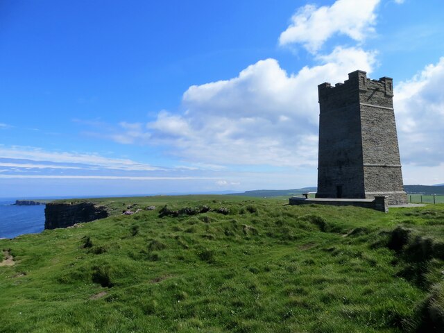
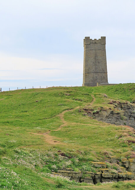
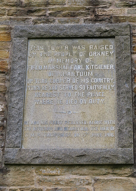
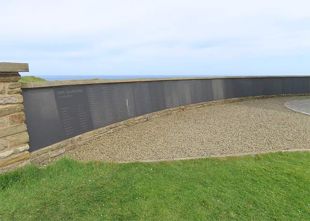
Kitchener Memorial
The Kitchener Memorial is a 48 ft tower war memorial in Birsay, Orkney Islands, erected after the sinking of British battleship HMS Hampshire. == History... ==

HMS Hampshire (1903)
HMS Hampshire was one of six Devonshire-class armoured cruisers built for the Royal Navy in the first decade of the 20th century. She was assigned to the...

St Magnus Church, Birsay
St Magnus Church, Birsay is a 17th-century church located in the parish of Birsay on Mainland, Orkney in Scotland. Built in 1664 on the site of an earlier...

Earl's Palace, Birsay
The Earl's Palace in Birsay, Orkney, Scotland, is a ruined 16th-century castle. It was built by Robert Stewart, 1st Earl of Orkney (1533–1593), illegitimate...
Nearby Amenities
Located within 500m of 59.10036,-3.3551169Have you been to Gunnagairn?
Leave your review of Gunnagairn below (or comments, questions and feedback).