Minna Geo
Coastal Feature, Headland, Point in Orkney
Scotland
Minna Geo
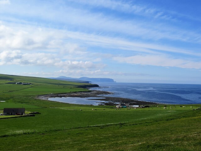
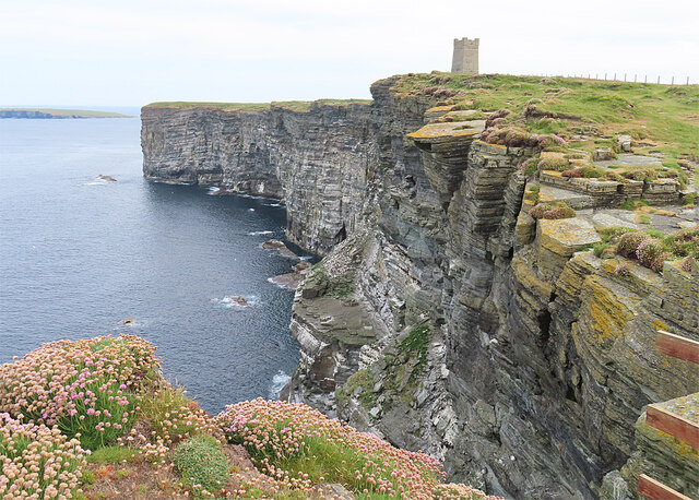
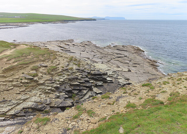
Minna Geo is a prominent coastal feature located on the island of Orkney in Scotland. It is classified as a headland, or a narrow piece of land that extends out into the sea, forming a point. The name "Minna Geo" is derived from the Old Norse word "gegir," meaning a "cleft or fissure," which accurately describes the geological formation of this coastal feature.
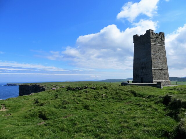
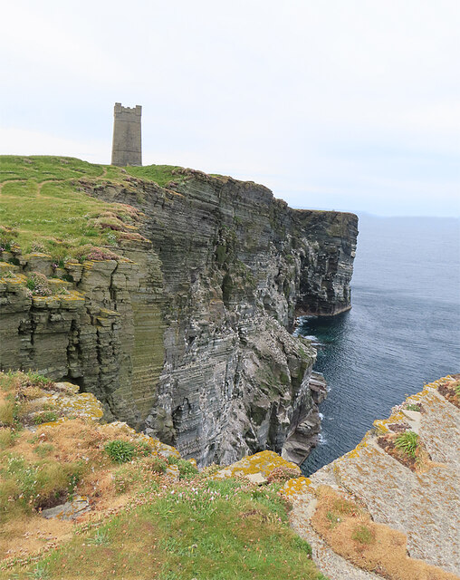
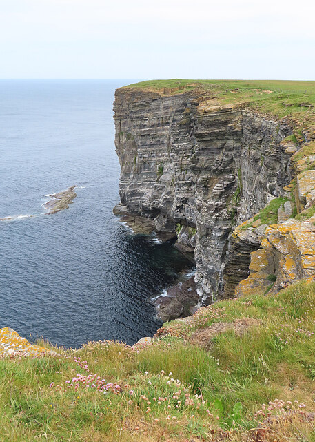
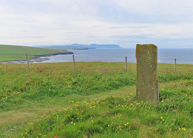
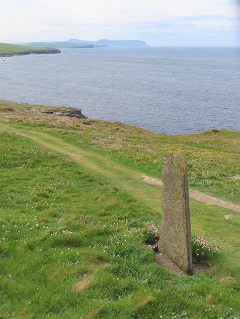
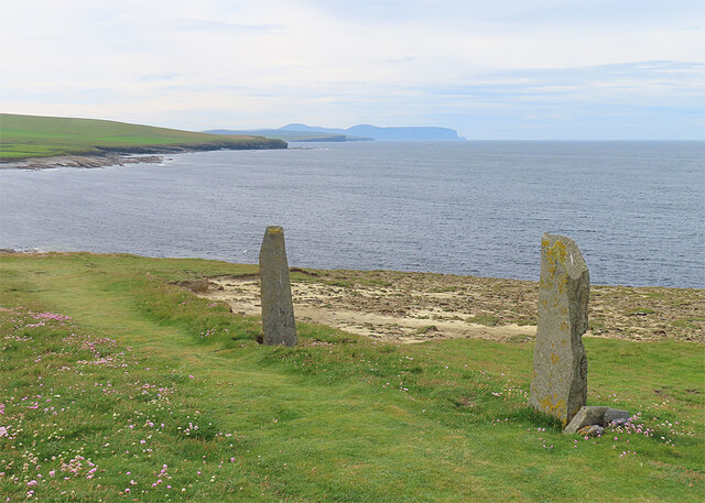
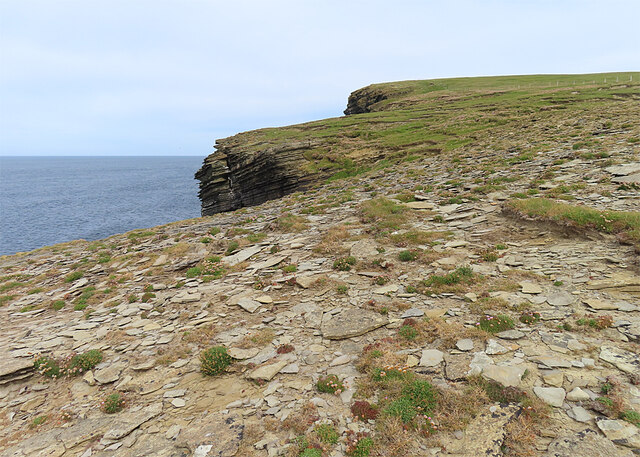
Minna Geo is situated on the western coast of Orkney, near the village of Stromness. It is characterized by its rugged cliffs and steep slopes, which provide stunning views of the surrounding sea and nearby islands. The headland is composed of layers of sandstone and shale, which have been eroded over time by the relentless power of the waves, creating deep crevices and caves along its coastline.
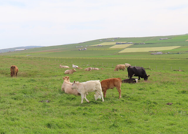
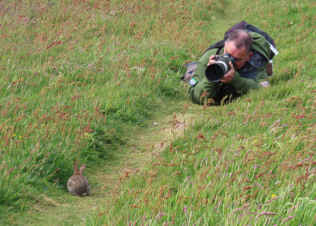
The area around Minna Geo is rich in biodiversity, with a variety of marine and bird species making it their home. Seals can often be spotted basking on the rocks, while seabirds like puffins and guillemots nest in the cliffs during the breeding season. The surrounding waters are also known for their abundance of fish, attracting fishermen and nature enthusiasts alike.
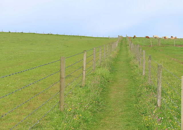
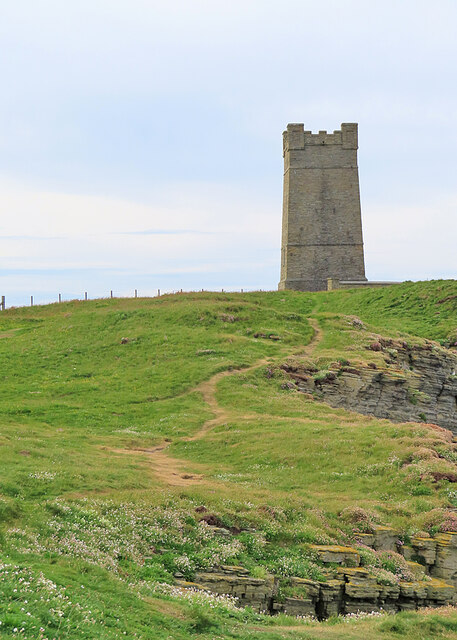
Minna Geo is a popular destination for hikers and nature lovers, who are drawn to its dramatic coastal scenery and the sense of tranquility it offers. There are several walking trails that allow visitors to explore the headland and its surroundings, providing ample opportunities for wildlife spotting and photography.
Overall, Minna Geo is a captivating coastal feature that showcases the raw beauty of nature in Orkney. Its rugged cliffs, diverse wildlife, and breathtaking views make it a must-visit destination for those seeking a unique and immersive coastal experience.
If you have any feedback on the listing, please let us know in the comments section below.
Minna Geo Images
Images are sourced within 2km of 59.099448/-3.3538239 or Grid Reference HY2224. Thanks to Geograph Open Source API. All images are credited.

Minna Geo is located at Grid Ref: HY2224 (Lat: 59.099448, Lng: -3.3538239)
Unitary Authority: Orkney Islands
Police Authority: Highlands and Islands
What 3 Words
///announce.jaunts.generally. Near Birsay, Orkney Islands
Nearby Locations
Related Wikis

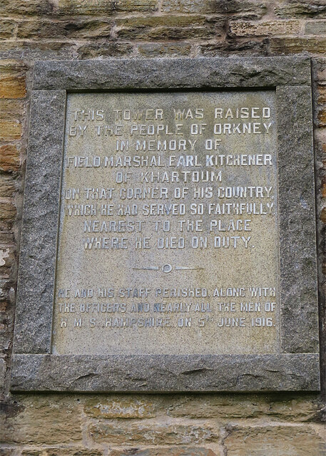
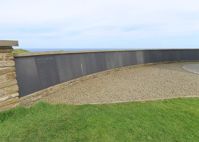
HMS Hampshire (1903)
HMS Hampshire was one of six Devonshire-class armoured cruisers built for the Royal Navy in the first decade of the 20th century. She was assigned to the...

St Magnus Church, Birsay
St Magnus Church, Birsay is a 17th century church located in the parish of Birsay on Mainland, Orkney in Scotland. Built in 1664 on the site of an earlier...

Earl's Palace, Birsay
The Earl's Palace in Birsay, Orkney, Scotland, is a ruined 16th-century castle. It was built by Robert Stewart, 1st Earl of Orkney (1533–1593), illegitimate...

RNAS Twatt (HMS Tern)
Royal Naval Air Station Twatt, (RNAS Twatt; or HMS Tern) is a former Royal Navy Air Station located near Twatt, Orkney, Scotland. It was built by the Admiralty...

Buckquoy spindle-whorl
The Buckquoy spindle-whorl is an Ogham-inscribed spindle-whorl dating from the Early Middle Ages, probably the 8th century, which was found in 1970 in...

Brough of Birsay Lighthouse
The unmanned Brough of Birsay Lighthouse lighthouse was built in 1925 by David A Stevenson. It is located on the Brough of Birsay, an uninhabited tidal...

Brough of Birsay
The Brough of Birsay is an uninhabited tidal island off the north-west coast of The Mainland of Orkney, Scotland, in the parish of Birsay. It is located...

Twatt, Orkney
Twatt is a settlement in the parish of Birsay on the Mainland of Orkney, Scotland. It was previously the location of RNAS Twatt (HMS Tern), 1940–1949....
Nearby Amenities
Located within 500m of 59.099448,-3.3538239Have you been to Minna Geo?
Leave your review of Minna Geo below (or comments, questions and feedback).