Choin
Sea, Estuary, Creek in Orkney
Scotland
Choin
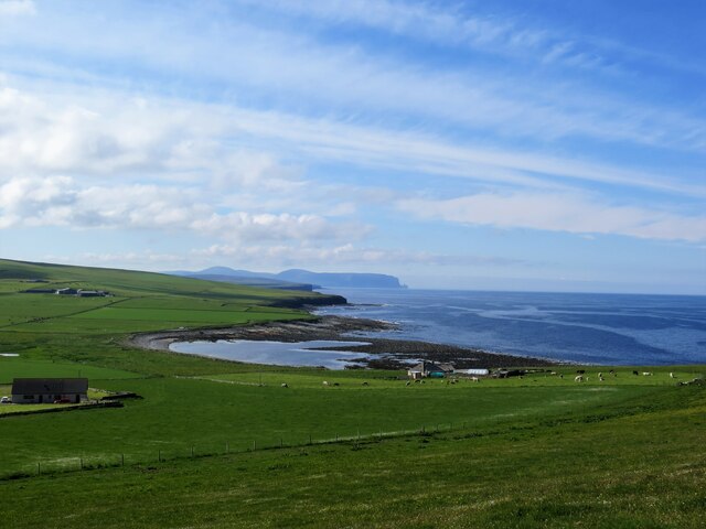
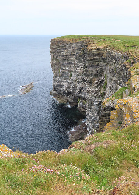
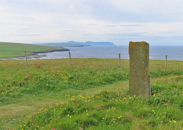
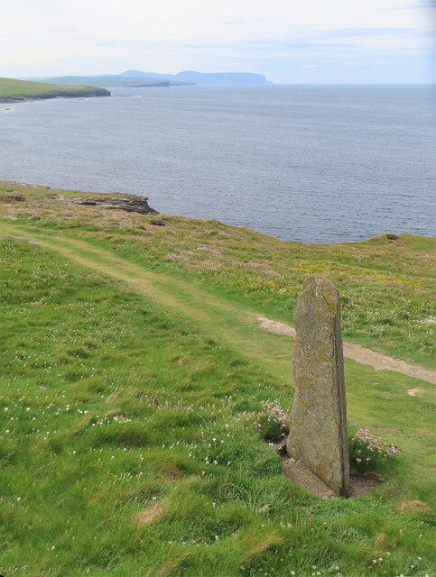
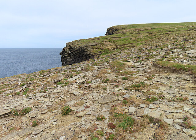
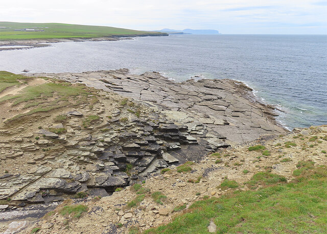
Choin is a small coastal settlement located in the Orkney Islands, which is an archipelago situated off the northeastern coast of Scotland. Nestled on the western shore of the mainland, Choin is known for its picturesque sea, estuary, and creek.
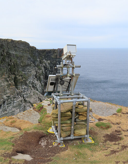
The settlement is blessed with stunning natural beauty, offering breathtaking views of the North Sea. The sea surrounding Choin is characterized by its crystal-clear waters, which are home to a diverse range of marine life. It provides a perfect setting for various water activities such as swimming, sailing, and fishing.
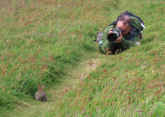
Adjacent to the sea, Choin boasts a beautiful estuary that serves as a haven for numerous bird species. Ornithologists and bird enthusiasts flock to this area to observe and study the wide variety of avian species that reside here. The estuary is a vital habitat for both resident and migratory birds, making it an important site for conservation efforts.
Choin is also blessed with a charming creek that meanders through the settlement. The creek provides a tranquil setting for locals and visitors alike to enjoy leisurely walks along its banks. The creek's calm waters attract wildlife, including otters and various species of fish, enhancing the area's natural allure.
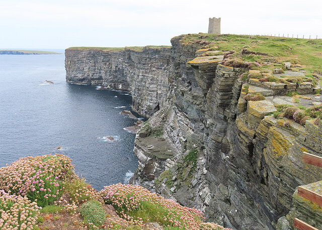
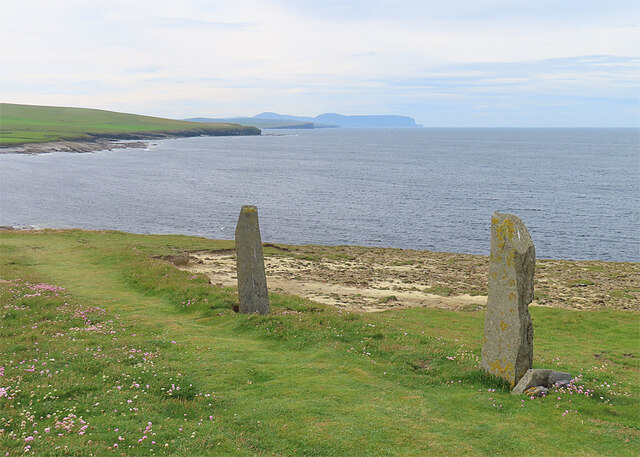
In addition to its natural wonders, Choin offers a peaceful and idyllic ambiance, making it a popular destination for those seeking a break from the hustle and bustle of city life. Its welcoming community, rich history, and stunning coastal scenery make Choin a hidden gem in the Orkney Islands, attracting visitors from far and wide.
If you have any feedback on the listing, please let us know in the comments section below.
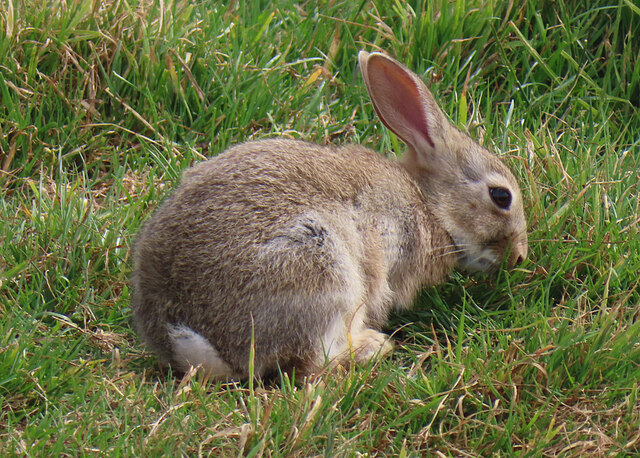
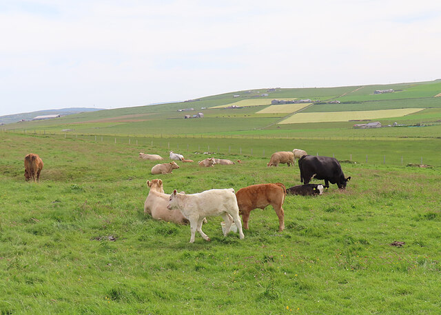
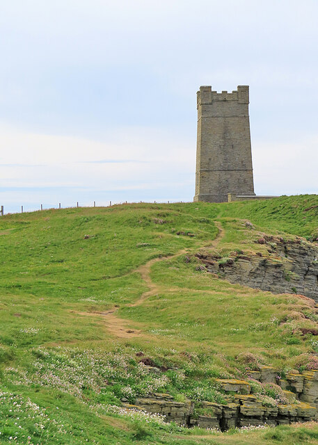
Choin Images
Images are sourced within 2km of 59.098472/-3.3484086 or Grid Reference HY2224. Thanks to Geograph Open Source API. All images are credited.
Choin is located at Grid Ref: HY2224 (Lat: 59.098472, Lng: -3.3484086)
Unitary Authority: Orkney Islands
Police Authority: Highlands and Islands
What 3 Words
///pest.tucked.flipping. Near Birsay, Orkney Islands
Nearby Locations
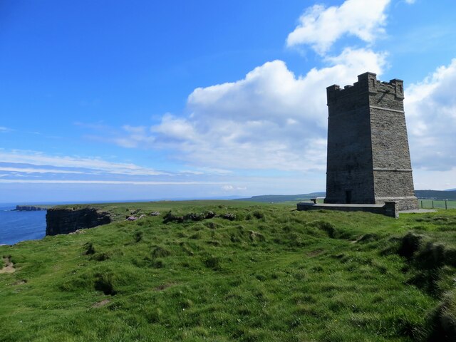
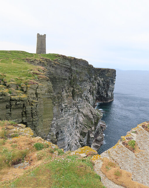
Related Wikis

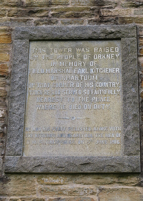
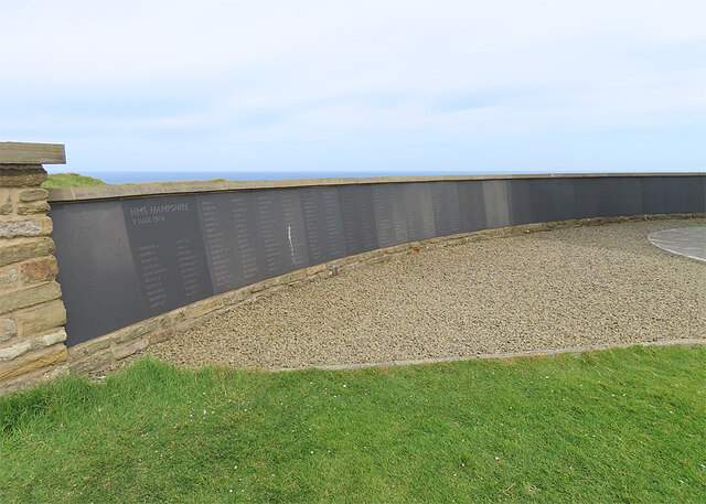
HMS Hampshire (1903)
HMS Hampshire was one of six Devonshire-class armoured cruisers built for the Royal Navy in the first decade of the 20th century. She was assigned to the...

RNAS Twatt (HMS Tern)
Royal Naval Air Station Twatt, (RNAS Twatt; or HMS Tern) is a former Royal Navy Air Station located near Twatt, Orkney, Scotland. It was built by the Admiralty...

St Magnus Church, Birsay
St Magnus Church, Birsay is a 17th century church located in the parish of Birsay on Mainland, Orkney in Scotland. Built in 1664 on the site of an earlier...

Earl's Palace, Birsay
The Earl's Palace in Birsay, Orkney, Scotland, is a ruined 16th-century castle. It was built by Robert Stewart, 1st Earl of Orkney (1533–1593), illegitimate...

Buckquoy spindle-whorl
The Buckquoy spindle-whorl is an Ogham-inscribed spindle-whorl dating from the Early Middle Ages, probably the 8th century, which was found in 1970 in...

Twatt, Orkney
Twatt is a settlement in the parish of Birsay on the Mainland of Orkney, Scotland. It was previously the location of RNAS Twatt (HMS Tern), 1940–1949....

Brough of Birsay Lighthouse
The unmanned Brough of Birsay Lighthouse lighthouse was built in 1925 by David A Stevenson. It is located on the Brough of Birsay, an uninhabited tidal...

Brough of Birsay
The Brough of Birsay is an uninhabited tidal island off the north-west coast of The Mainland of Orkney, Scotland, in the parish of Birsay. It is located...
Nearby Amenities
Located within 500m of 59.098472,-3.3484086Have you been to Choin?
Leave your review of Choin below (or comments, questions and feedback).