Piel Channel
Sea, Estuary, Creek in Lancashire Barrow-in-Furness
England
Piel Channel
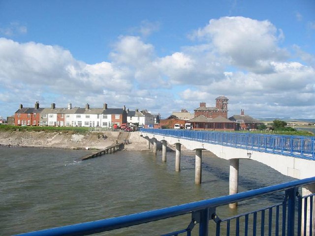
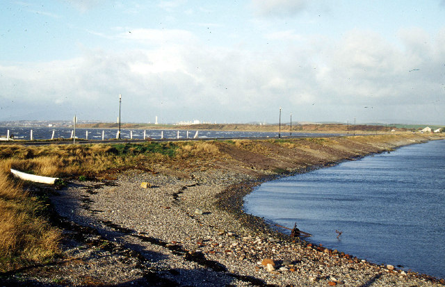
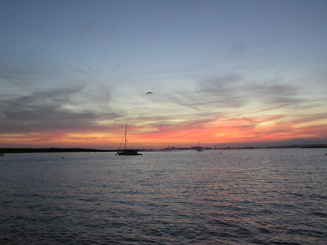
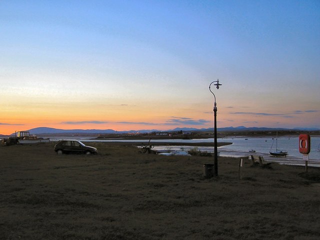
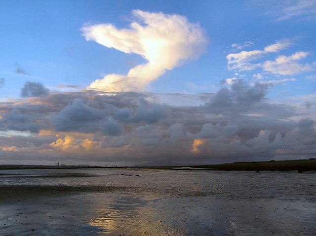
Piel Channel is a natural waterway located in Lancashire, England. It is situated on the western coast of the county and stretches between Walney Island and the mainland. The channel connects the Irish Sea with the estuary of the River Duddon, making it an important link between the sea and a major watercourse.
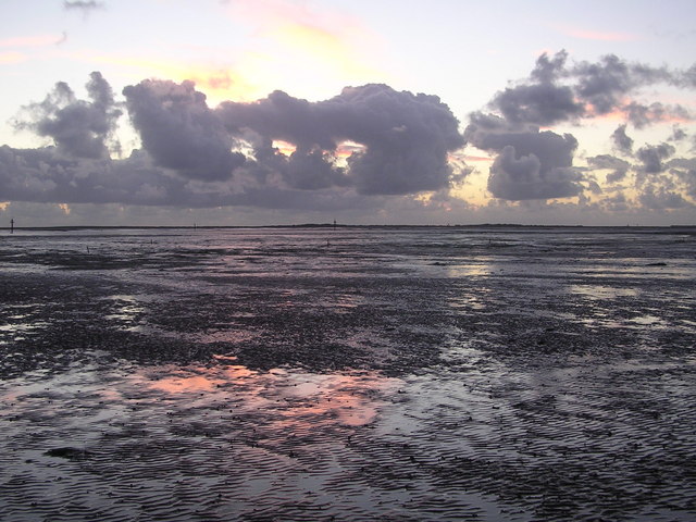
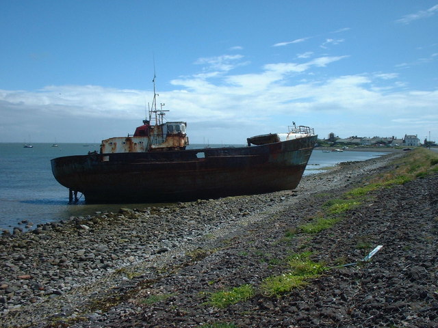
This waterway is characterized by its diverse ecosystem and unique geographical features. The channel itself is relatively narrow, with a width of around 200 meters (650 feet) at its widest point. It is deep enough to accommodate various types of vessels, including small boats and fishing trawlers.
The Piel Channel is known for its strong tidal currents, which can reach speeds of up to 4 knots. These currents are influenced by the ebb and flow of the tides in the Irish Sea, creating a dynamic and ever-changing environment. As a result, the channel is popular among water sports enthusiasts, such as sailors and windsurfers, who enjoy the challenge of navigating its waters.
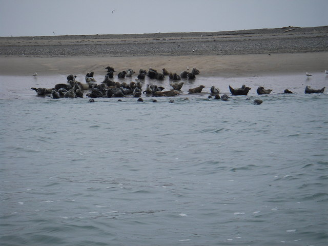
The surrounding area of Piel Channel is also of ecological significance. The channel itself acts as a migratory route for various marine species, including salmon and sea trout, as they move between the sea and the river. The estuary and adjacent salt marshes provide a habitat for a wide range of bird species, making it a popular spot for birdwatching.
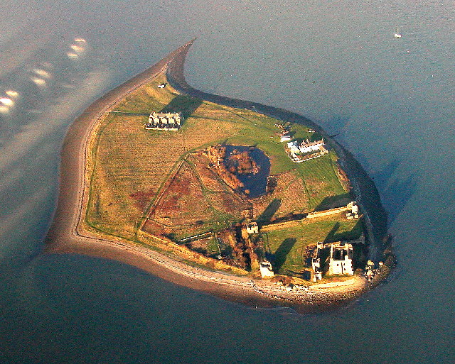
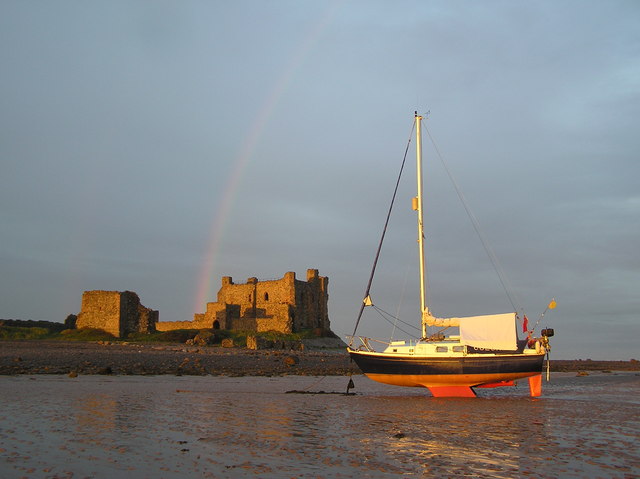
In addition to its natural beauty, Piel Channel is also home to historical landmarks. Piel Castle, a 14th-century fortress, stands on Piel Island at the entrance of the channel. The castle, which was once a key defensive point, now serves as a tourist attraction, drawing visitors to explore its ruins and learn about its fascinating history.
Overall, Piel Channel is a captivating waterway that offers a blend of natural beauty, recreational opportunities, and historical significance. Whether for leisure or exploration, it is a destination that appeals to a diverse range of interests.
If you have any feedback on the listing, please let us know in the comments section below.
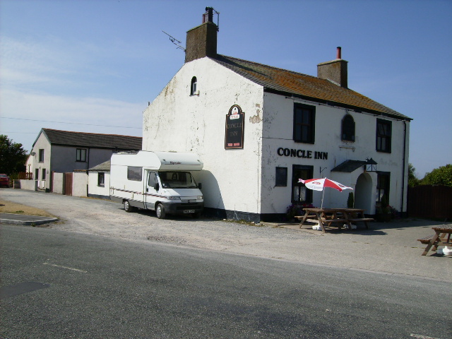
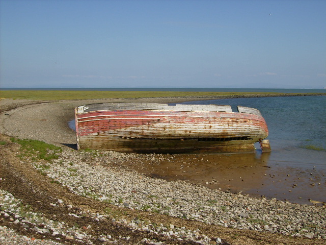
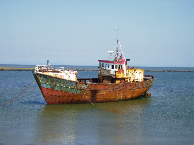
Piel Channel Images
Images are sourced within 2km of 54.068819/-3.1700862 or Grid Reference SD2364. Thanks to Geograph Open Source API. All images are credited.


Piel Channel is located at Grid Ref: SD2364 (Lat: 54.068819, Lng: -3.1700862)
Administrative County: Cumbria
District: Barrow-in-Furness
Police Authority: Cumbria
What 3 Words
///bless.still.tonal. Near Barrow in Furness, Cumbria
Nearby Locations
Related Wikis

Piel Island
Piel Island lies in Morecambe Bay , around 1⁄2 mile (800 metres) off the southern tip of the Furness peninsula in the administrative county of Cumbria...

Roa Island
Roa Island lies just over half a mile (1 km) south of the village of Rampside at the southernmost point of the Furness Peninsula in Westmorland and Furness...

Piel Castle
Piel Castle, also known as Fouldry Castle or the Pile of Fouldray, is a castle situated on the south-eastern point of Piel Island, off the coast of the...

Piel railway station
Piel railway station was the terminus of the Furness Railway's Piel Branch in Barrow-in-Furness, England that operated between 1846 and 1936. Located on...
Foulney Island
Foulney Island is a low-lying grass and shingle area 1 mile (1.6 km) to the south-east of Roa Island, off the southern tip of the Furness Peninsula in...

Rampside
Rampside is a village in Cumbria, England. Historically in Lancashire, it is located a few miles south-east of the town of Barrow-in-Furness, in the north...
Rampside railway station
Rampside railway station was located on the Piel Branch of the Furness Railway in the Rampside area of Barrow-in-Furness, England. The single platform...
Sheep Island (England)
Sheep Island is an uninhabited grassy island of around 15 acres (6 ha), located just over 1⁄4 mile (400 m) from the shore of Walney Island, opposite Snab...
Nearby Amenities
Located within 500m of 54.068819,-3.1700862Have you been to Piel Channel?
Leave your review of Piel Channel below (or comments, questions and feedback).