Braefoot Point

Coastal Feature, Headland, Point in Fife

Scotland

Braefoot Point

Junction on A921 at Dalgety Bay
Junction on A921 at Dalgety Bay Credit: Alpin Stewart

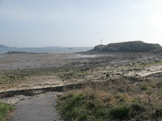
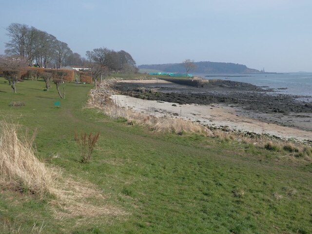
Braefoot Point is a prominent headland located on the eastern coast of Fife, Scotland. Situated approximately 5 miles northeast of the town of Anstruther, this coastal feature juts out into the North Sea, offering breathtaking views and a picturesque setting.

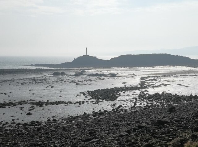
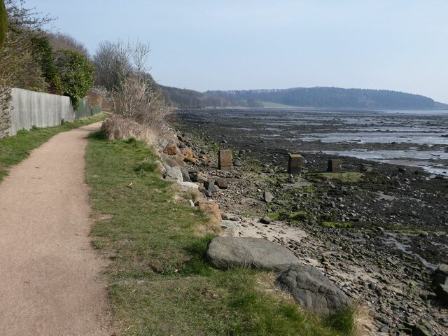
The headland is characterized by its rugged cliffs, which are composed of sandstone and shale. These cliffs, reaching heights of up to 30 meters, provide a natural barrier against the crashing waves of the sea, creating a dramatic and awe-inspiring sight. The exposed nature of the point also makes it an ideal location for birdwatching, as various seabirds, such as gannets, fulmars, and kittiwakes, can often be observed nesting on the cliff ledges.

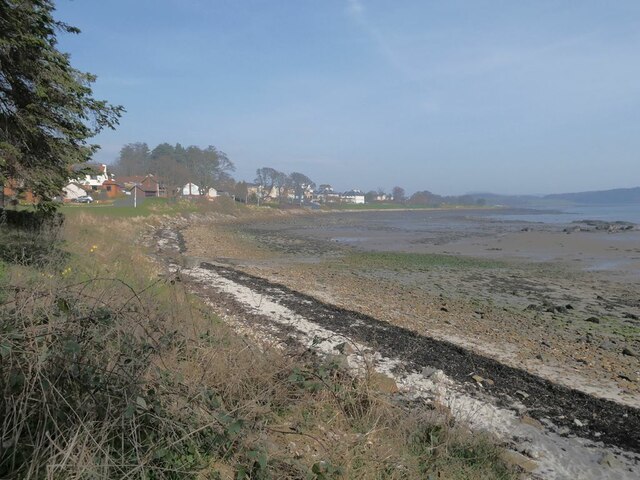
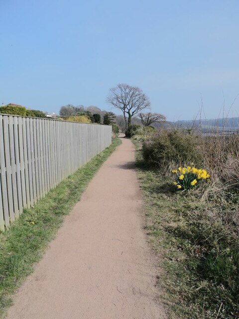
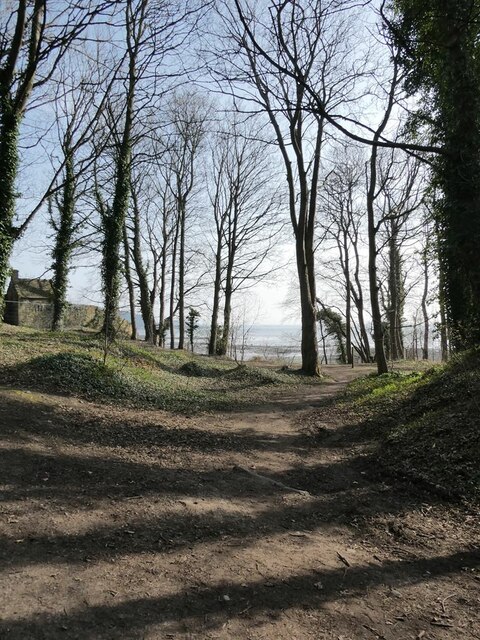
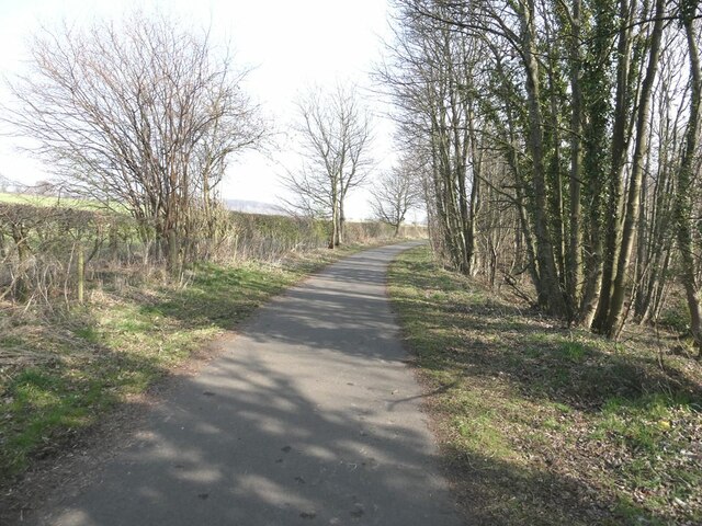
Braefoot Point is easily accessible via a footpath that winds along the coast, allowing visitors to explore the area and enjoy the stunning views. The path leads to a viewpoint at the tip of the headland, offering panoramic vistas of the surrounding coastline and the vast expanse of the North Sea. On a clear day, it is even possible to catch a glimpse of the Isle of May, a nature reserve located a few miles offshore.

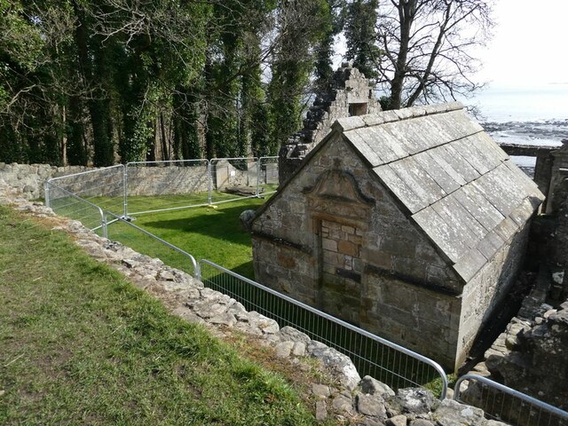
This coastal feature is also steeped in history, with remnants of an old watchtower still visible on the headland. The watchtower, dating back to the 16th century, served as a lookout point for potential invaders and is a reminder of the area's strategic significance during earlier times.

Overall, Braefoot Point is a captivating and significant headland on the Fife coastline, attracting nature enthusiasts, hikers, and history buffs alike. Its stunning cliffs, diverse wildlife, and historical remnants make it a must-visit destination for anyone exploring the region.

If you have any feedback on the listing, please let us know in the comments section below.

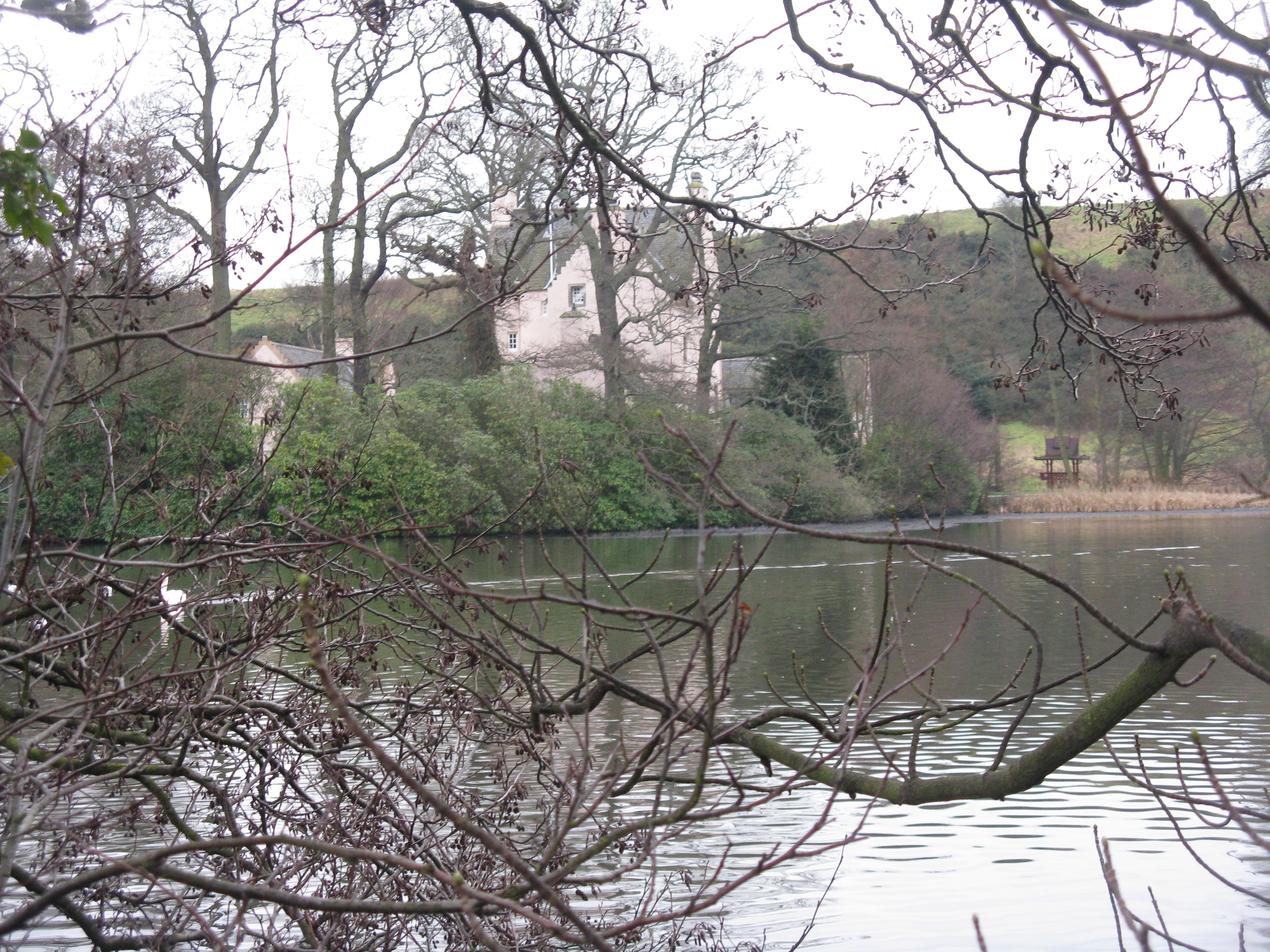
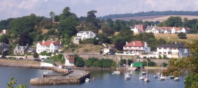
Braefoot Point Images

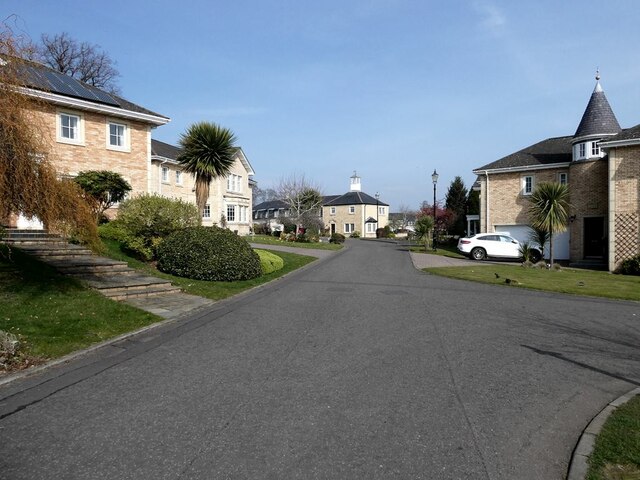
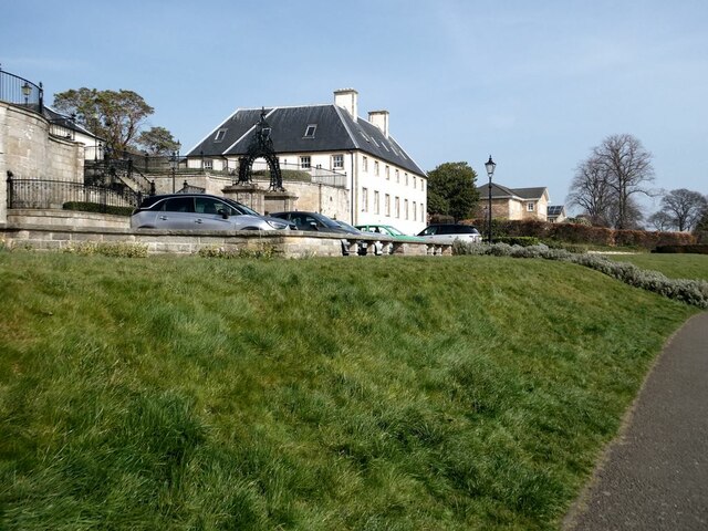
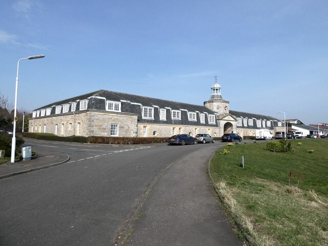
Images are sourced within 2km of 56.033624/-3.3228528 or Grid Reference NT1783. Thanks to Geograph Open Source API. All images are credited.

Junction on A921 at Dalgety Bay
Donibristle Bay and Downing Point On the horizon and out to sea, from left to right - Brae Point (mainland), Long Craig,  Inchcolm (the largest island), Thank Rock (tidal reef),  Downing Point (mainland).
Donibristle Bay and Downing Point
On the horizon and out to sea, from left to right - Brae Point (mainland), Long Craig, Inchcolm (the largest island), Thank Rock (tidal reef), Downing Point (mainland).
Donibristle Bay Part of the larger Dalgety Bay.
Donibristle Bay
Part of the larger Dalgety Bay.
Donibristle Bay and Downing Point Downing Point is the site of a World War II gun battery.
Donibristle Bay and Downing Point
Downing Point is the site of a World War II gun battery.
Donibristle Gardens The modern housing incorporates some distinctly pseudo features.
Donibristle Gardens
The modern housing incorporates some distinctly pseudo features.
Donibristle House The original castle on this site was destroyed in the 16th century. The two buildings at the front (of which the east wing can be seen here) are all that remains of the replacement structure built in 1720 and largely destroyed by fire in 1858. For part of the twentieth century, the building was occupied by the Admiralty. It was converted into prestigious apartments in the 1990s.
Donibristle House
The original castle on this site was destroyed in the 16th century. The two buildings at the front (of which the east wing can be seen here) are all that remains of the replacement structure built in 1720 and largely destroyed by fire in 1858. For part of the twentieth century, the building was occupied by the Admiralty. It was converted into prestigious apartments in the 1990s.
Gateway to Donibristle House The original castle on this site was destroyed in the 16th century. The two buildings at the front  are all that remains of the replacement structure built in 1720 and largely destroyed by fire in 1858. For part of the twentieth century, the building was occupied by the Admiralty. It was converted into prestigious apartments in the 1990s.
Gateway to Donibristle House
The original castle on this site was destroyed in the 16th century. The two buildings at the front are all that remains of the replacement structure built in 1720 and largely destroyed by fire in 1858. For part of the twentieth century, the building was occupied by the Admiralty. It was converted into prestigious apartments in the 1990s.
Shoreline of the New Harbour at Dalgety Bay The gas terminal <a href="https://www.geograph.org.uk/gridref/NT1883">NT1883</a> at Braefoot Point can be seen in the distance.
Shoreline of the New Harbour at Dalgety Bay
The gas terminal NT1883 at Braefoot Point can be seen in the distance.
Hopeward Court The old stables of Donibristle House extensively rebuilt to form a prestigious apartment block.
Hopeward Court
The old stables of Donibristle House extensively rebuilt to form a prestigious apartment block.
Gateway to Hopeward Court The old stables of Donibristle House extensively rebuilt to form a prestigious apartment block.
Gateway to Hopeward Court
The old stables of Donibristle House extensively rebuilt to form a prestigious apartment block.
Warning notice at Dalgety Bay beach There are warnings all along the shore of Dalgety Bay warning of some radioactive contamination.
Warning notice at Dalgety Bay beach
There are warnings all along the shore of Dalgety Bay warning of some radioactive contamination.
Dalgety Bay The term "Dalgety Bay" applies both to this one bay, and to the much more larger town which extends westwards to include a number of other bays on the north shore of the Firth of Forth.
Dalgety Bay
The term "Dalgety Bay" applies both to this one bay, and to the much more larger town which extends westwards to include a number of other bays on the north shore of the Firth of Forth.
Fife Coastal Path at Dalgety Bay The Fife Coastal Path runs at this point in common with National Cycle Network route 76.
Fife Coastal Path at Dalgety Bay
The Fife Coastal Path runs at this point in common with National Cycle Network route 76.
Fife Coastal Path at Dalgety Bay The Fife Coastal Path runs at this point in common with National Cycle Network route 76. The headland of Braefoot Point in the distance.
Fife Coastal Path at Dalgety Bay
The Fife Coastal Path runs at this point in common with National Cycle Network route 76. The headland of Braefoot Point in the distance.
Woodland above the shore of Dalgety Bay
St Bridget's Kirk Closed to visitors because of the dangerous state of the buildings.
St Bridget's Kirk
Closed to visitors because of the dangerous state of the buildings.
Junction on the private road from St Bridget's Kirk to Four Lums The road to the right is Beech Avenue which carries the Fife Coastal Path through to Aberdour.
Junction on the private road from St Bridget's Kirk to Four Lums
The road to the right is Beech Avenue which carries the Fife Coastal Path through to Aberdour.
Private road to Braefoot Point The road carries the status of public right of way.
Private road to Braefoot Point
The road carries the status of public right of way.
Show me another place!

Braefoot Point is located at Grid Ref: NT1783 (Lat: 56.033624, Lng: -3.3228528)

Unitary Authority: Fife

Police Authority: Fife

What 3 Words

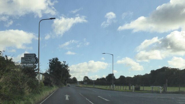
///promising.solution.waking. Near Dalgety Bay, Fife

Related Wikis

Nearby Amenities

Located within 500m of 56.033624,-3.3228528
Braefoot Bay
Natural: bay
Source: OS_OpenData_StreetView
Lat/Long: 56.0348895/-3.3159673
Braefoot Point
Place: locality
Lat/Long: 56.0333155/-3.3236086
Seamark Buoy Lateral Category: starboard
Seamark Buoy Lateral Colour: green
Seamark Buoy Lateral Shape: conical
Seamark Buoy Lateral System: iala-a
Seamark Light Character: Fl
Seamark Light Colour: green
Seamark Light Group: 2
Seamark Light Period: 5
Seamark Name: No 7
Seamark Type: buoy_lateral
Lat/Long: 56.0322011/-3.3164937
Seamark Anchorage Category: small_craft
Seamark Type: anchorage
Lat/Long: 56.035057/-3.3166688
Bench
Backrest: yes
Lat/Long: 56.0350463/-3.3202855
The data included in this document is from www.openstreetmap.org. The data is made available under ODbL.

Have you been to Braefoot Point?

Leave your review of Braefoot Point below (or comments, questions and feedback).