Runnarto
Coastal Feature, Headland, Point in Orkney
Scotland
Runnarto
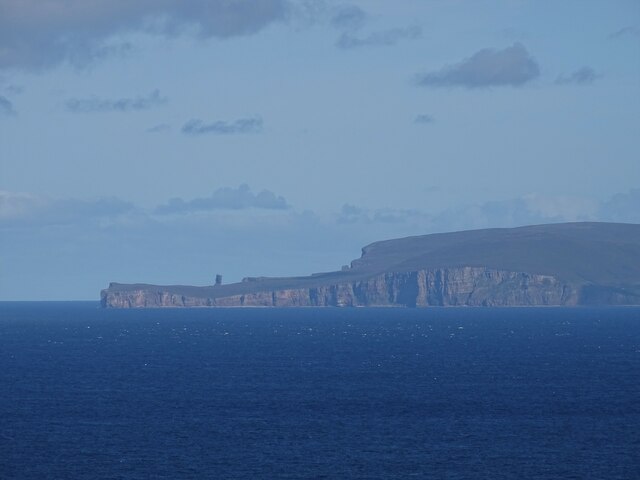
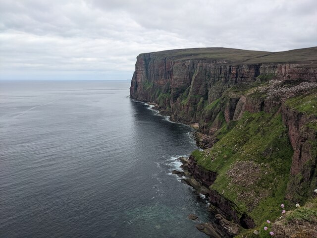
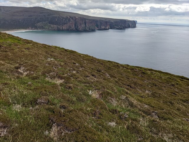
Runnarto is a prominent headland located on the northeastern coast of the Orkney archipelago in Scotland. This coastal feature extends into the North Sea, forming a distinctive point that juts out into the surrounding waters. Situated near the town of Kirkwall, Runnarto offers stunning panoramic views of the rugged coastline and the expansive sea beyond.
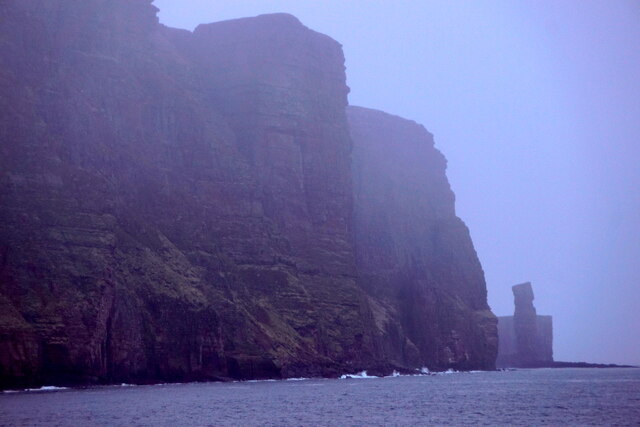
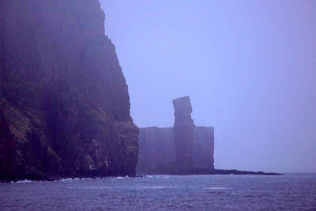
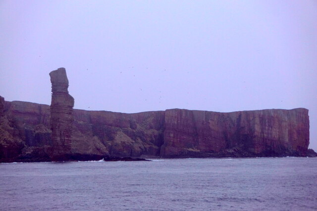
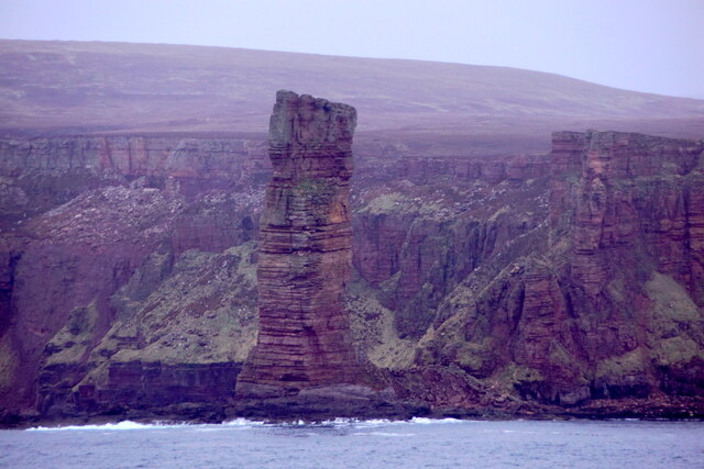
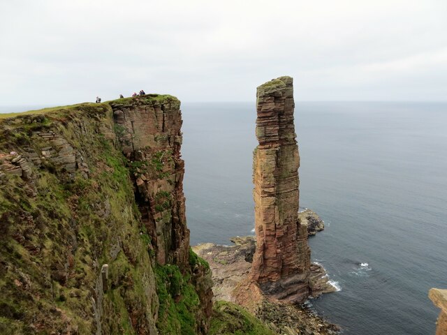
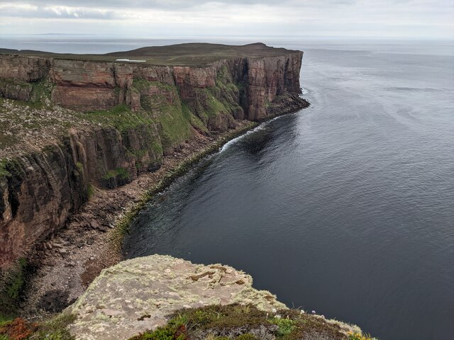
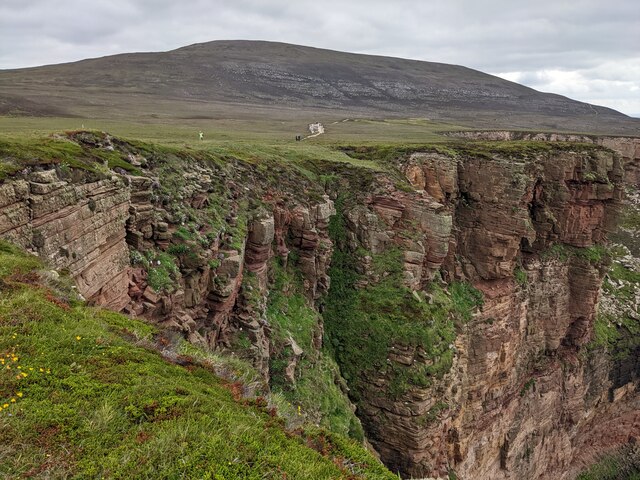
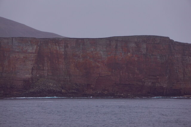
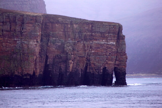
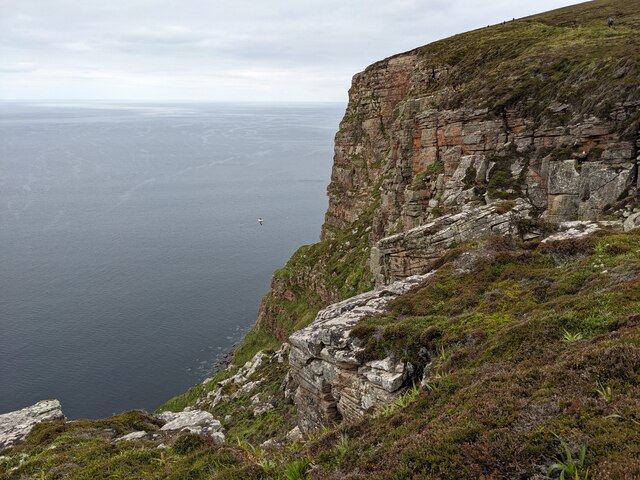
The headland is characterized by its steep cliffs, which rise dramatically from the crashing waves below. These cliffs are composed of weathered sandstone and are known for their striking red and brown hues. The exposed rock formations provide a glimpse into the geological history of the region, displaying layers of sedimentary deposits that date back millions of years.
Runnarto is also home to a diverse range of flora and fauna. The grassy slopes and rocky outcrops support a variety of plant species, including wildflowers, grasses, and hardy shrubs. The surrounding waters are teeming with marine life, making it a popular spot for birdwatching and observing seals, dolphins, and even occasional sightings of whales.
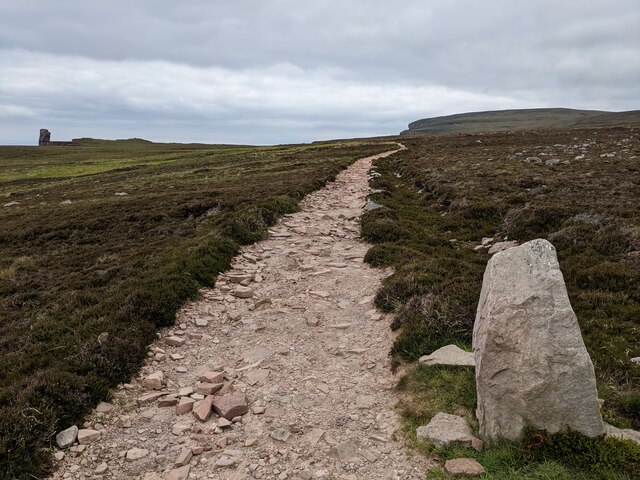
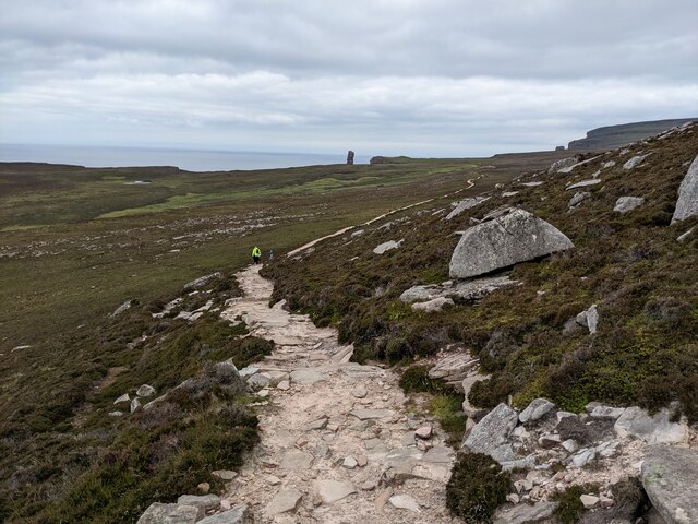
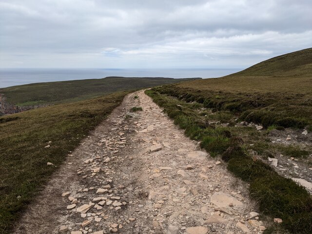
Due to its scenic beauty and natural significance, Runnarto attracts both locals and tourists alike. The headland offers numerous walking trails that allow visitors to explore its rugged terrain and take in the breathtaking views. Additionally, the area is a designated Site of Special Scientific Interest (SSSI), ensuring the protection of its unique ecosystems and geological features.
Overall, Runnarto is a captivating coastal feature that showcases the natural beauty and diversity of the Orkney archipelago. Its striking cliffs, diverse wildlife, and breathtaking vistas make it a must-visit destination for nature enthusiasts and those seeking a tranquil escape by the sea.
If you have any feedback on the listing, please let us know in the comments section below.
Runnarto Images
Images are sourced within 2km of 58.883708/-3.4267659 or Grid Reference HY1700. Thanks to Geograph Open Source API. All images are credited.
Runnarto is located at Grid Ref: HY1700 (Lat: 58.883708, Lng: -3.4267659)
Unitary Authority: Orkney Islands
Police Authority: Highlands and Islands
What 3 Words
///data.capillary.painted. Near Stromness, Orkney Islands
Nearby Locations
Related Wikis

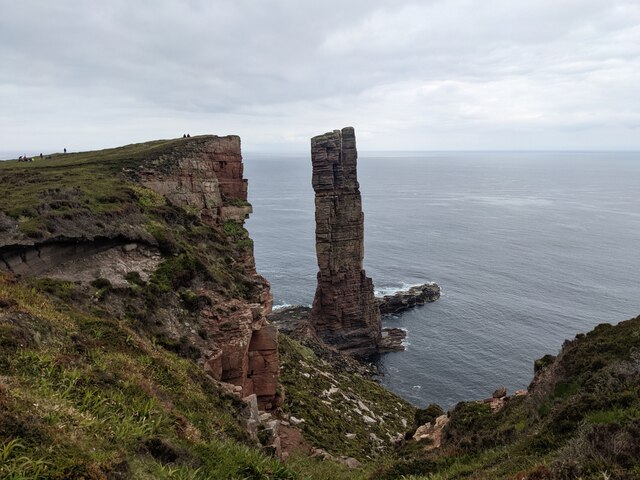
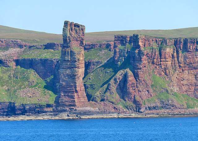
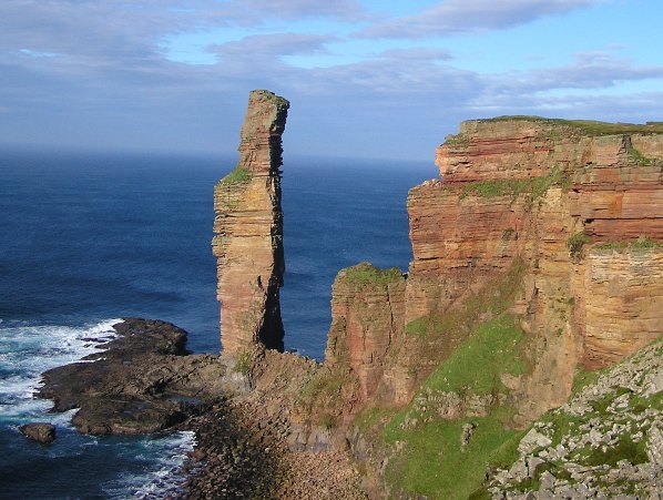
Old Man of Hoy
The Old Man of Hoy is a 449-foot (137-metre) sea stack on Hoy, part of the Orkney archipelago off the north coast of Scotland. Formed from Old Red Sandstone...

HMS Pheasant (1916)
HMS Pheasant was one of 85 Admiralty M-class destroyers built during the First World War for the Royal Navy. She hit and was sunk by a mine in 1917....
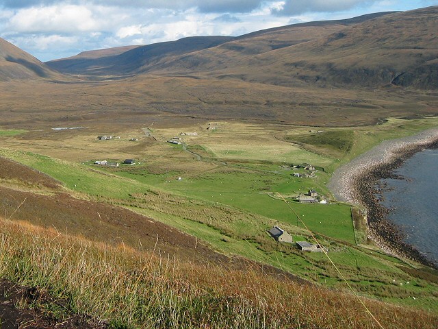
Rackwick
Rackwick is a small coastal crofting township in the north west of the island of Hoy in Orkney, Scotland. As well as a handful of tourist amenities the...

Ward Hill, Hoy
Ward Hill is a hill on the island of Hoy in Orkney, Scotland. It lies at the north of the island between Moaness and Rackwick, and is the highest point...

Dwarfie Stane
The Dwarfie Stane is a megalithic chambered tomb carved out of a titanic block of Devonian Old Red Sandstone located in a steep-sided glaciated valley...
Hoy, Orkney
Hoy (Scots: Hoy; from Old Norse Háey, meaning "high island") is an island in Orkney, Scotland, measuring 143 square kilometres (55 sq mi) – the second...

Hoy Sound
Hoy Sound is a body of salt water subject to tidal currents situated south of the town of Stromness in the Orkney archipelago of Scotland. The sound lies...

Graemsay
Graemsay () is an island in the western approaches to Scapa Flow, in the Orkney Islands of Scotland. The island has two lighthouses. Graemsay lies within...
Nearby Amenities
Located within 500m of 58.883708,-3.4267659Have you been to Runnarto?
Leave your review of Runnarto below (or comments, questions and feedback).