Braefoot Plantation

Wood, Forest in Fife

Scotland

Braefoot Plantation

Junction on A921 at Dalgety Bay
Junction on A921 at Dalgety Bay Credit: Alpin Stewart

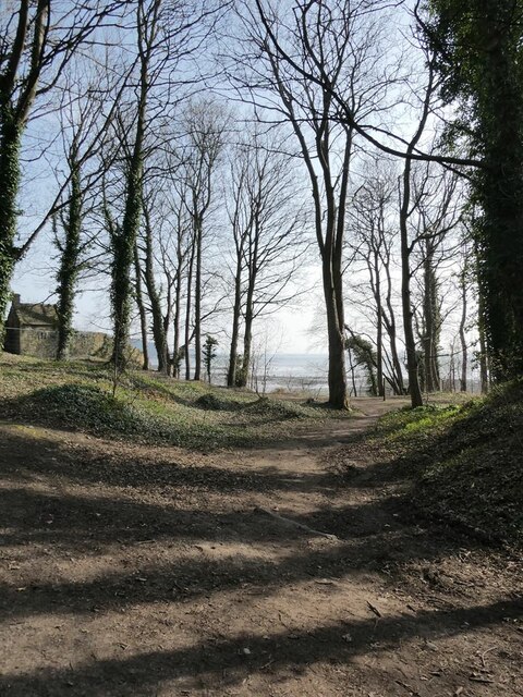
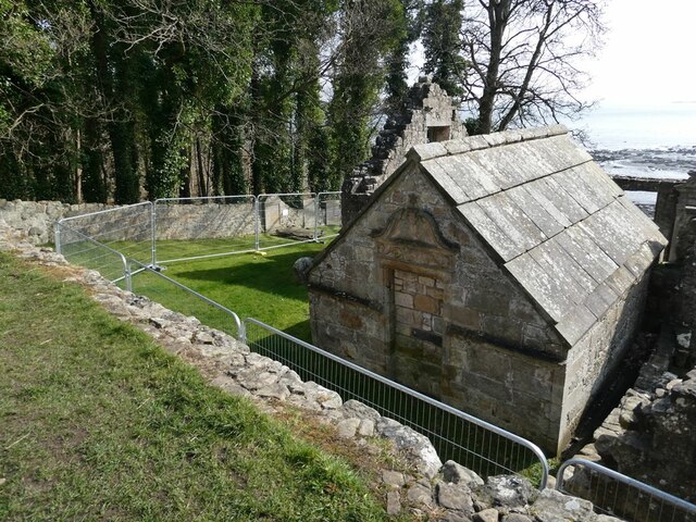
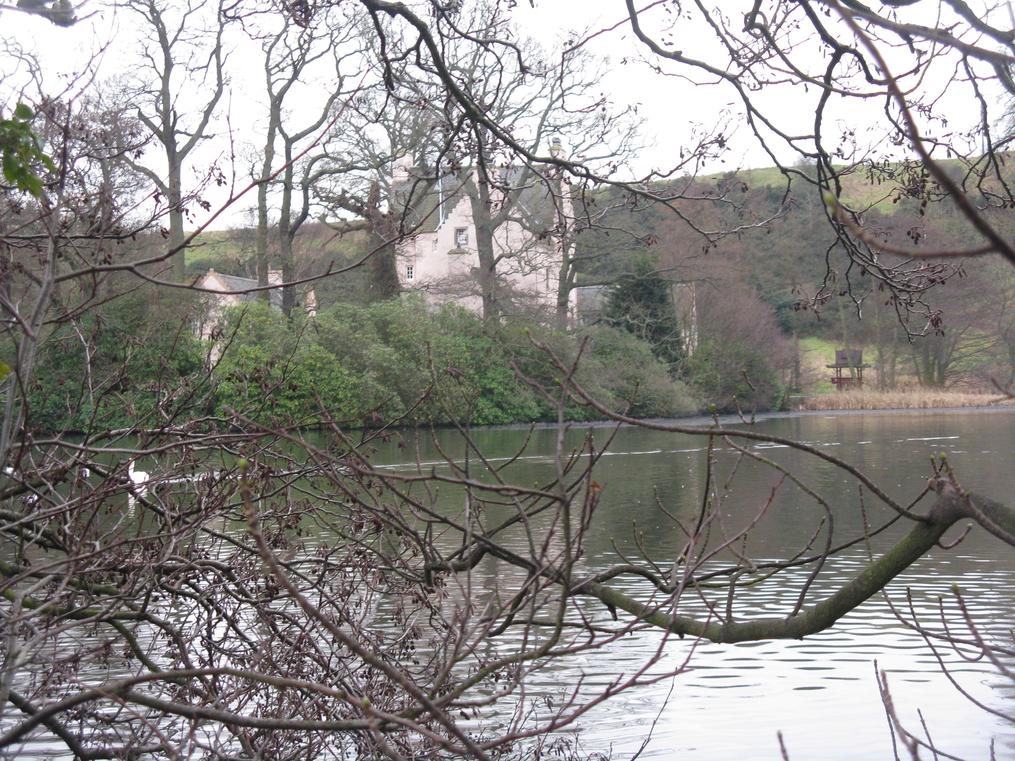
Braefoot Plantation is a picturesque woodland located in Fife, Scotland. Spanning over a vast area, the plantation is known for its diverse collection of trees, making it a significant natural asset within the region. The woodland is predominantly composed of deciduous trees, including oak, beech, birch, and ash, which create a stunning display of colors during the changing seasons.

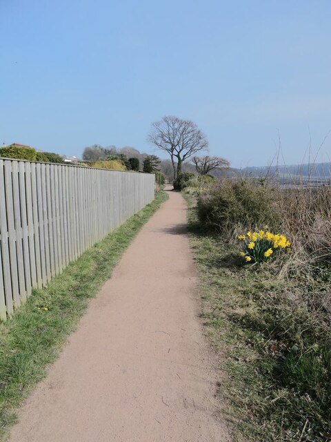
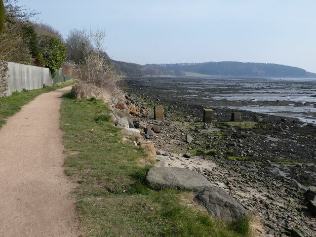
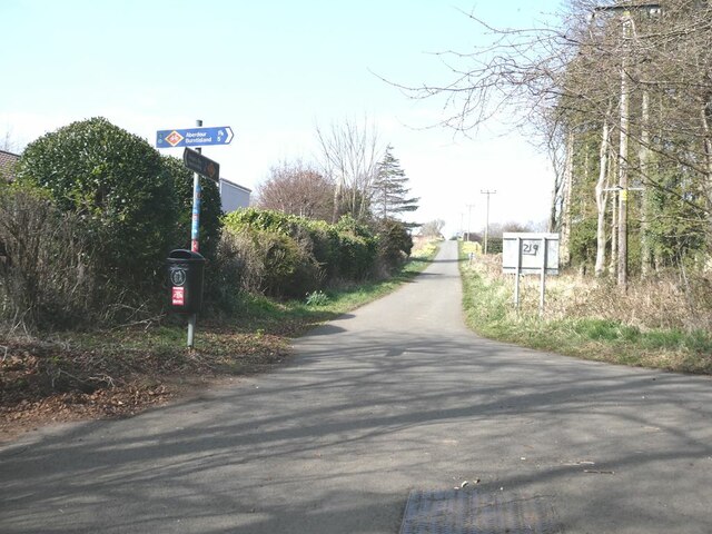
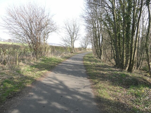
Situated on undulating terrain, Braefoot Plantation offers visitors a varied landscape to explore. It features several well-maintained walking trails, allowing nature enthusiasts to immerse themselves in the beauty of the surroundings. The trails wind through the plantation, leading visitors through dense foliage, alongside peaceful streams, and up gentle hills, providing breathtaking views of the surrounding countryside.

The plantation serves as a habitat for a wide range of wildlife. Birdwatchers can spot various species, including woodpeckers, owls, and finches, while lucky visitors may even catch a glimpse of roe deer or red squirrels in their natural habitat. The diverse flora and fauna make Braefoot Plantation an ideal destination for nature lovers and photographers alike.

In addition to its natural beauty, Braefoot Plantation also offers recreational facilities for visitors. There are picnic areas and benches scattered throughout the woodland, providing a peaceful setting for outdoor gatherings or simply enjoying a packed lunch amidst the serene environment.

Overall, Braefoot Plantation is a captivating woodland retreat in Fife, offering a tranquil escape for those seeking solace in nature's embrace.

If you have any feedback on the listing, please let us know in the comments section below.

Braefoot Plantation Images

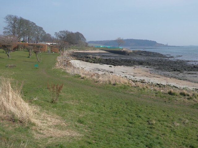
Images are sourced within 2km of 56.037297/-3.3188374 or Grid Reference NT1783. Thanks to Geograph Open Source API. All images are credited.

Junction on A921 at Dalgety Bay
Donibristle House The original castle on this site was destroyed in the 16th century. The two buildings at the front (of which the east wing can be seen here) are all that remains of the replacement structure built in 1720 and largely destroyed by fire in 1858. For part of the twentieth century, the building was occupied by the Admiralty. It was converted into prestigious apartments in the 1990s.
Donibristle House
The original castle on this site was destroyed in the 16th century. The two buildings at the front (of which the east wing can be seen here) are all that remains of the replacement structure built in 1720 and largely destroyed by fire in 1858. For part of the twentieth century, the building was occupied by the Admiralty. It was converted into prestigious apartments in the 1990s.
Gateway to Donibristle House The original castle on this site was destroyed in the 16th century. The two buildings at the front  are all that remains of the replacement structure built in 1720 and largely destroyed by fire in 1858. For part of the twentieth century, the building was occupied by the Admiralty. It was converted into prestigious apartments in the 1990s.
Gateway to Donibristle House
The original castle on this site was destroyed in the 16th century. The two buildings at the front are all that remains of the replacement structure built in 1720 and largely destroyed by fire in 1858. For part of the twentieth century, the building was occupied by the Admiralty. It was converted into prestigious apartments in the 1990s.
Shoreline of the New Harbour at Dalgety Bay The gas terminal <a href="https://www.geograph.org.uk/gridref/NT1883">NT1883</a> at Braefoot Point can be seen in the distance.
Shoreline of the New Harbour at Dalgety Bay
The gas terminal NT1883 at Braefoot Point can be seen in the distance.
Hopeward Court The old stables of Donibristle House extensively rebuilt to form a prestigious apartment block.
Hopeward Court
The old stables of Donibristle House extensively rebuilt to form a prestigious apartment block.
Gateway to Hopeward Court The old stables of Donibristle House extensively rebuilt to form a prestigious apartment block.
Gateway to Hopeward Court
The old stables of Donibristle House extensively rebuilt to form a prestigious apartment block.
Warning notice at Dalgety Bay beach There are warnings all along the shore of Dalgety Bay warning of some radioactive contamination.
Warning notice at Dalgety Bay beach
There are warnings all along the shore of Dalgety Bay warning of some radioactive contamination.
Dalgety Bay The term "Dalgety Bay" applies both to this one bay, and to the much more larger town which extends westwards to include a number of other bays on the north shore of the Firth of Forth.
Dalgety Bay
The term "Dalgety Bay" applies both to this one bay, and to the much more larger town which extends westwards to include a number of other bays on the north shore of the Firth of Forth.
Fife Coastal Path at Dalgety Bay The Fife Coastal Path runs at this point in common with National Cycle Network route 76.
Fife Coastal Path at Dalgety Bay
The Fife Coastal Path runs at this point in common with National Cycle Network route 76.
Fife Coastal Path at Dalgety Bay The Fife Coastal Path runs at this point in common with National Cycle Network route 76. The headland of Braefoot Point in the distance.
Fife Coastal Path at Dalgety Bay
The Fife Coastal Path runs at this point in common with National Cycle Network route 76. The headland of Braefoot Point in the distance.
Woodland above the shore of Dalgety Bay
St Bridget's Kirk Closed to visitors because of the dangerous state of the buildings.
St Bridget's Kirk
Closed to visitors because of the dangerous state of the buildings.
Junction on the private road from St Bridget's Kirk to Four Lums The road to the right is Beech Avenue which carries the Fife Coastal Path through to Aberdour.
Junction on the private road from St Bridget's Kirk to Four Lums
The road to the right is Beech Avenue which carries the Fife Coastal Path through to Aberdour.
Private road to Braefoot Point The road carries the status of public right of way.
Private road to Braefoot Point
The road carries the status of public right of way.
Daffodils on Beech Avenue In spring, at least, it is daffodils rather than beech trees which characterise this private farm road which runs between Dalgety Bay and Aberdour. The road carries the Fife Coastal Path and National Cycle Network route 76.
Daffodils on Beech Avenue
In spring, at least, it is daffodils rather than beech trees which characterise this private farm road which runs between Dalgety Bay and Aberdour. The road carries the Fife Coastal Path and National Cycle Network route 76.
Horse riders on Beech Avenue In spring, at least, it is daffodils rather than beech trees which characterise this private farm road which runs between Dalgety Bay and Aberdour. The road carries the Fife Coastal Path and National Cycle Network route 76.
Horse riders on Beech Avenue
In spring, at least, it is daffodils rather than beech trees which characterise this private farm road which runs between Dalgety Bay and Aberdour. The road carries the Fife Coastal Path and National Cycle Network route 76.
Cyclists on Beech Avenue In spring, at least, it is daffodils rather than beech trees which characterise this private farm road which runs between Dalgety Bay and Aberdour. The road carries the Fife Coastal Path and National Cycle Network route 76.
Cyclists on Beech Avenue
In spring, at least, it is daffodils rather than beech trees which characterise this private farm road which runs between Dalgety Bay and Aberdour. The road carries the Fife Coastal Path and National Cycle Network route 76.
Path from Beech Avenue to Braefoot Point With status of public right of way.
Path from Beech Avenue to Braefoot Point
With status of public right of way.
Show me another place!

Braefoot Plantation is located at Grid Ref: NT1783 (Lat: 56.037297, Lng: -3.3188374)

Unitary Authority: Fife

Police Authority: Fife

What 3 Words

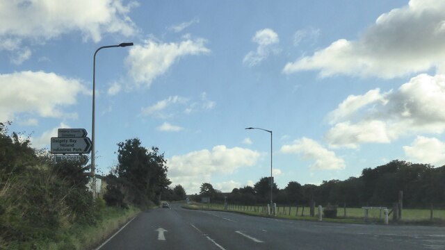
///tripods.treaty.magnets. Near Dalgety Bay, Fife

Related Wikis

Nearby Amenities

Located within 500m of 56.037297,-3.3188374
Braefoot Bay
Natural: bay
Source: OS_OpenData_StreetView
Lat/Long: 56.0348895/-3.3159673
Seamark Light Character: Fl
Seamark Light Period: 3
Seamark Light Range: 15
Seamark Type: light_major
Lat/Long: 56.0355258/-3.3130748
Seamark Light Character: Fl
Seamark Light Period: 3
Seamark Light Range: 15
Seamark Type: light_major
Lat/Long: 56.03586/-3.3117047
Seamark Anchorage Category: small_craft
Seamark Type: anchorage
Lat/Long: 56.035057/-3.3166688
Seamark Light Category: vertical
Seamark Light Character: F
Seamark Light Multiple: 2
Seamark Type: light_minor
Lat/Long: 56.0347905/-3.3129192
Seamark Light Category: vertical
Seamark Light Character: F
Seamark Light Multiple: 2
Seamark Type: light_minor
Lat/Long: 56.0352132/-3.3119876
Ferny Hill
Place: locality
Lat/Long: 56.0387573/-3.3134673
Bench
Backrest: yes
Lat/Long: 56.0350463/-3.3202855
The data included in this document is from www.openstreetmap.org. The data is made available under ODbL.

Have you been to Braefoot Plantation?

Leave your review of Braefoot Plantation below (or comments, questions and feedback).