Dalgety Bay
Bay in Fife
Scotland
Dalgety Bay
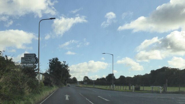
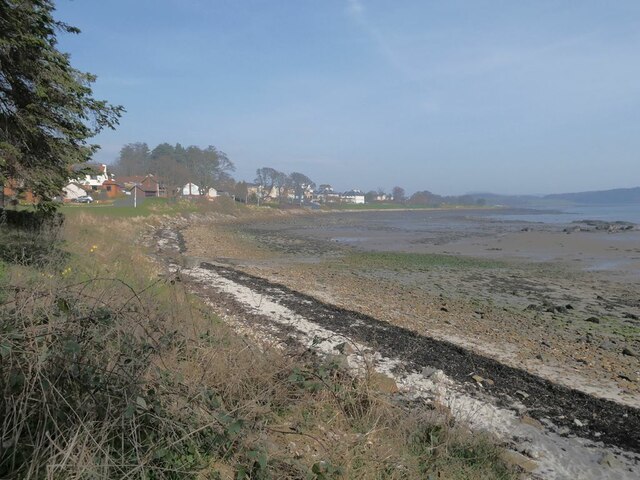
Dalgety Bay is a small coastal town located in Fife, Scotland. Situated on the northern shore of the Firth of Forth, it is approximately 10 miles northwest of the city of Edinburgh. The town is primarily known for its beautiful bay, which gives it its name, and its stunning views of the surrounding area.
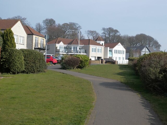
Dalgety Bay is a popular residential area, with a population of around 11,000 people. It offers a peaceful and picturesque living environment, attracting both families and retirees. The town is well-connected to other parts of Fife and Edinburgh, with regular bus services and a nearby train station providing convenient transportation options.
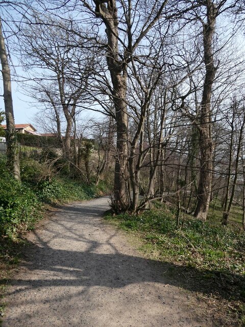
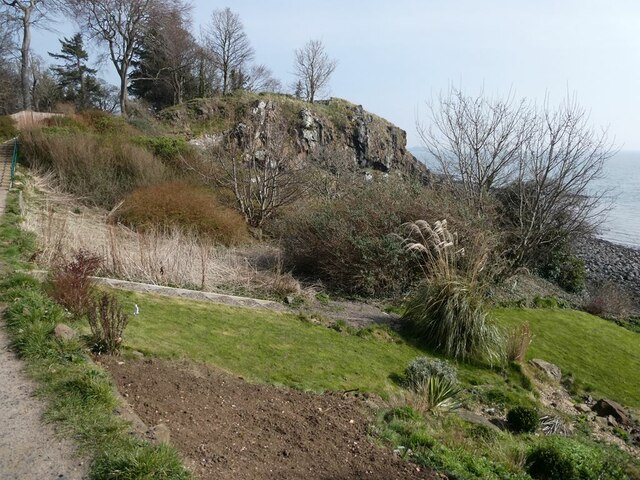
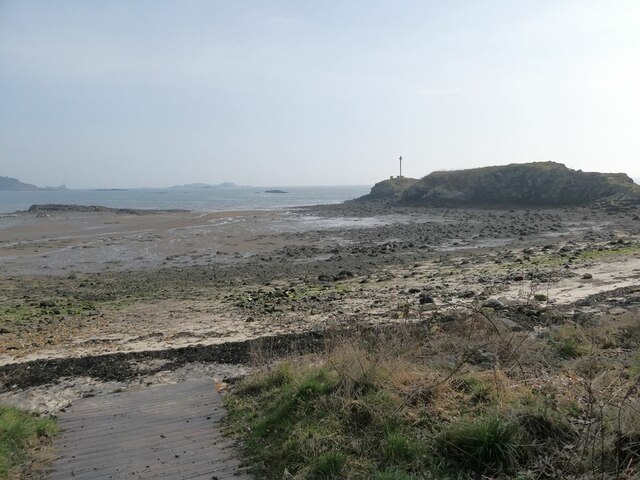
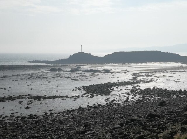
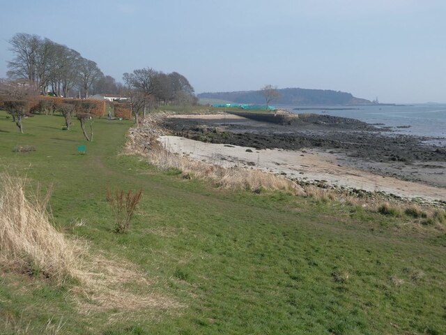
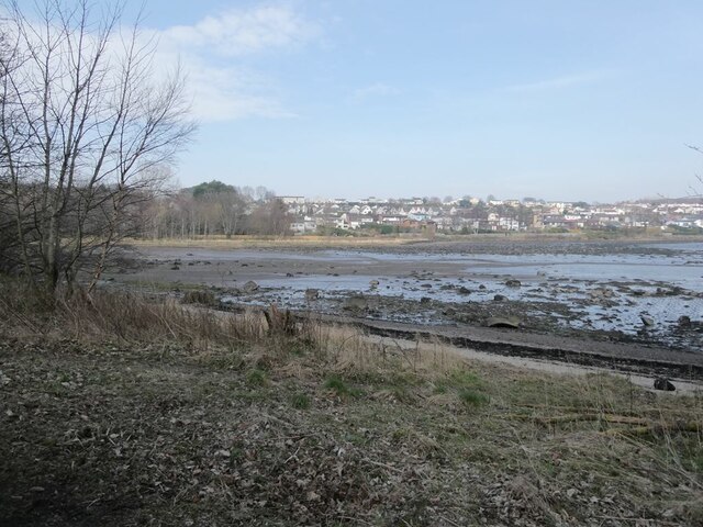
The bay itself is a major attraction for both locals and visitors alike. It features a sandy beach, providing a perfect spot for leisurely walks, picnics, and sunbathing during the warmer months. The bay is also a haven for wildlife, with a wide variety of bird species and marine life often spotted in the area.
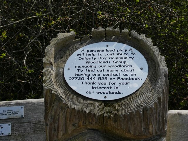
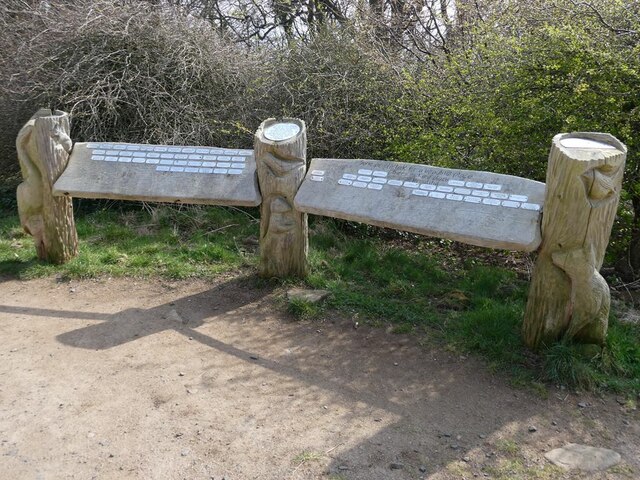
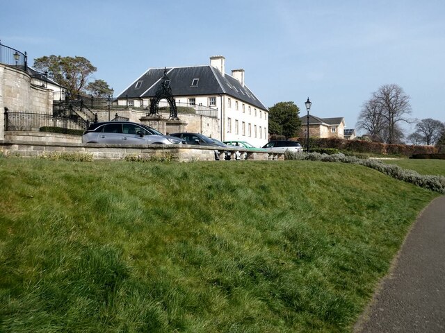
In addition to its natural beauty, Dalgety Bay offers several amenities and facilities to cater to the needs of its residents. The town has a range of shops, restaurants, and pubs, providing a vibrant community atmosphere. It also boasts a golf club, a sailing club, and several parks and green spaces, ensuring ample opportunities for outdoor activities and recreation.
Overall, Dalgety Bay is a charming coastal town with a strong sense of community, stunning natural surroundings, and easy access to nearby urban centers. It offers a desirable lifestyle for those seeking a peaceful and picturesque place to call home.
If you have any feedback on the listing, please let us know in the comments section below.
Dalgety Bay Images
Images are sourced within 2km of 56.035275/-3.3331168 or Grid Reference NT1783. Thanks to Geograph Open Source API. All images are credited.


Dalgety Bay is located at Grid Ref: NT1783 (Lat: 56.035275, Lng: -3.3331168)
Unitary Authority: Fife
Police Authority: Fife
What 3 Words
///vegans.downcast.keep. Near Dalgety Bay, Fife
Nearby Locations
Related Wikis

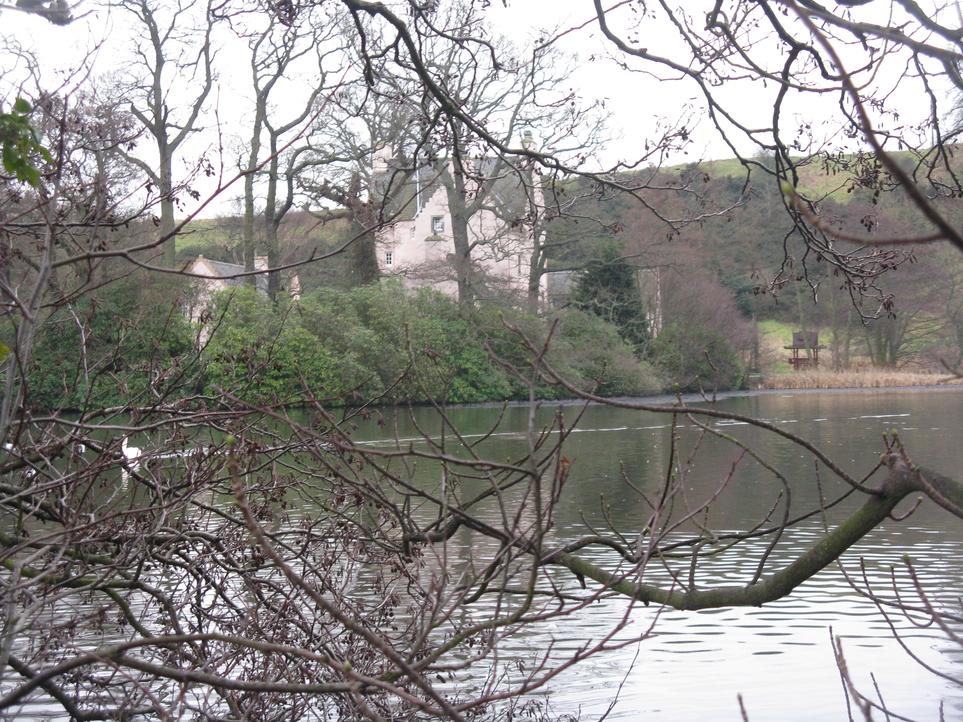
St Bridget's Kirk
St. Bridget's Kirk is a ruined church on the outskirts of Dalgety Bay, Fife, Scotland. It is a shell of a medieval church, dating back at least as far...

Donibristle
Donibristle (Scots: also Dunibirsle) was a house and estate in Fife, Scotland, on the coast of the Firth of Forth. Only the wings of the house remain,...

RNAS Donibristle (HMS Merlin)
Royal Naval Air Station Donibristle or more simply RNAS Donibristle is a former Fleet Air Arm base located 2.7 miles (4.3 km) east of Rosyth, Fife, and...
Couston Castle
Couston Castle is an L-plan tower house dating from the late sixteenth or early seventeenth centuries, just north east of Dalgety Bay, at the edge of Otterston...

Inchcolm Abbey
Inchcolm Abbey is a medieval abbey located on the island of Inchcolm in the Firth of Forth in Scotland. The Abbey, which is located at the centre of the...

Inchcolm
Inchcolm (from the Scottish Gaelic "Innis Choluim", meaning Columba's Island) is an island in the Firth of Forth in Scotland. It was repeatedly attacked...

Dalgety Bay railway station
Dalgety Bay railway station serves the town of Dalgety Bay in Fife, Scotland. Lying on the Fife Circle and EdinburghーDundee lines, it is managed by ScotRail...

Dalgety Bay
Dalgety Bay ( ) is a coastal town and parish in Fife, Scotland. According to Fife Council, the town is home to , making this the eighth-largest place...
Have you been to Dalgety Bay?
Leave your review of Dalgety Bay below (or comments, questions and feedback).