Snaver-snawie
Coastal Feature, Headland, Point in Caithness
Scotland
Snaver-snawie
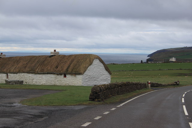
Snaver-snawie is a prominent coastal feature located in the county of Caithness, in the northernmost part of mainland Scotland. It is classified as a headland or point due to its distinctive geographical characteristics and its position extending out into the North Sea.
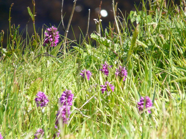
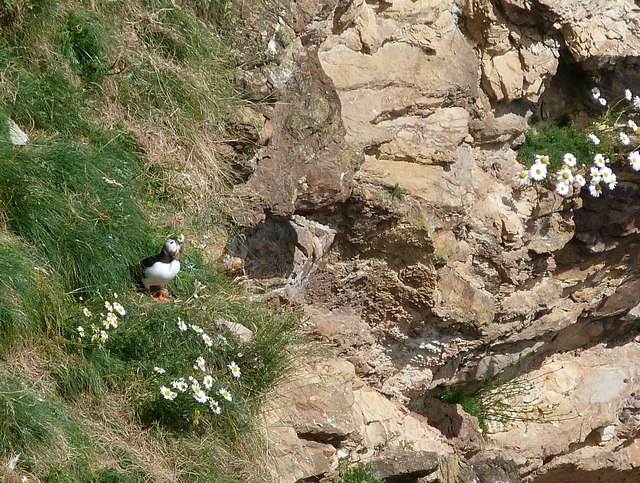
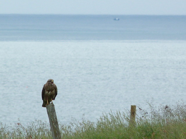
This awe-inspiring natural formation is renowned for its rugged cliffs that soar high above the crashing waves below. The cliffs are composed of sandstone and have been shaped by centuries of erosion, resulting in striking rock formations and deep crevices. The exposed nature of Snaver-snawie makes it an ideal spot for birdwatching, with various seabirds such as fulmars, kittiwakes, and guillemots frequently seen nesting on its precipitous ledges.
The headland offers breathtaking panoramic views of the surrounding coastline and the vast expanse of the North Sea. On clear days, it is even possible to spot the Orkney Islands in the distance. The area is also home to a diverse range of marine life, and seals can often be spotted basking on the rocks or swimming in the waters below.
Snaver-snawie is a popular destination for outdoor enthusiasts and nature lovers, who enjoy exploring its rugged coastal trails and observing the dramatic interplay between land and sea. The headland's exposed location means that it can experience strong winds and rough seas, so visitors are advised to take caution and come prepared with appropriate clothing and footwear.
With its stunning natural beauty and rich biodiversity, Snaver-snawie is a true gem of Caithness, offering visitors a unique and unforgettable coastal experience.
If you have any feedback on the listing, please let us know in the comments section below.
Snaver-snawie Images
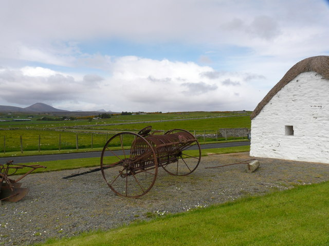
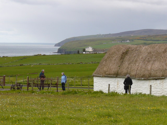
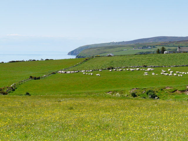
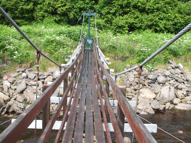
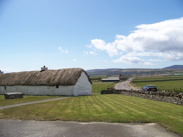
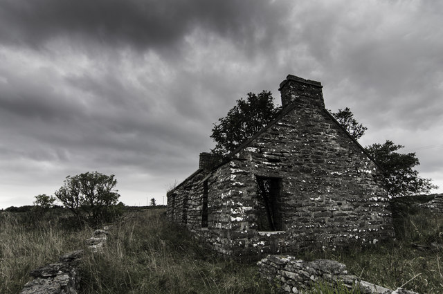
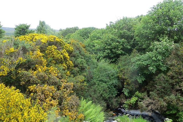
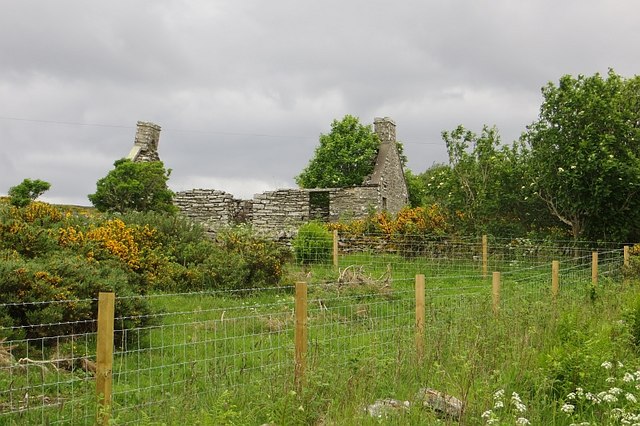
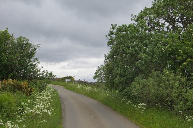
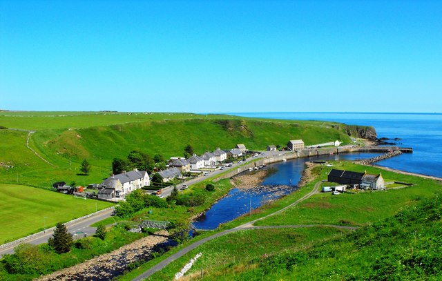
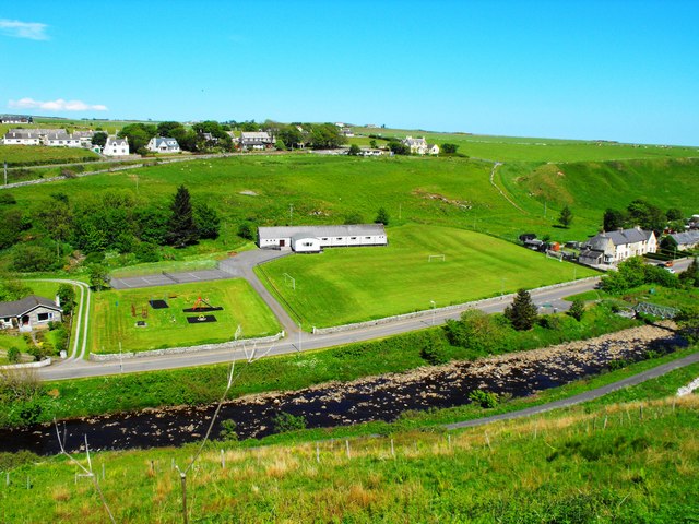
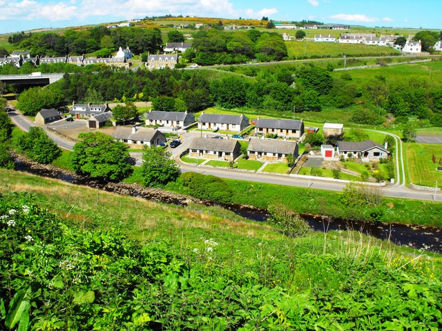
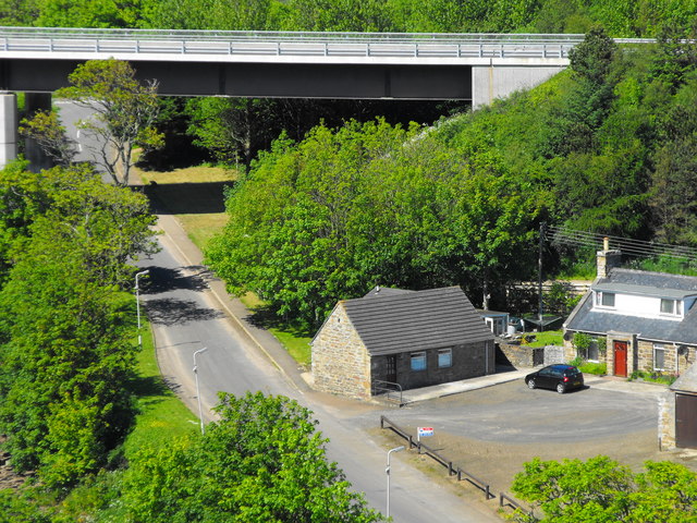
Images are sourced within 2km of 58.241762/-3.4277193 or Grid Reference ND1629. Thanks to Geograph Open Source API. All images are credited.
Snaver-snawie is located at Grid Ref: ND1629 (Lat: 58.241762, Lng: -3.4277193)
Unitary Authority: Highland
Police Authority: Highlands and Islands
What 3 Words
///slant.animator.rapid. Near Dunbeath, Highland
Nearby Locations
Related Wikis

Dunbeath Water
Dunbeath Water is a short river in Caithness in northern Scotland. It rises at Loch Braigh na h-Aibhne in the Flow Country and initially flows northeast...

Dunbeath
Dunbeath (Scottish Gaelic: Dùn Bheithe) is a village in south-east Caithness, Scotland on the A9 road. It sits astride the Dunbeath Water just before it...

Dunbeath Castle
Dunbeath Castle is located on the east coast of Caithness, 2 kilometres (1.2 mi) south of Dunbeath, in northern Scotland. Although a castle has stood here...
Balnabruich
Balnabruich (from Scottish Gaelic Baile na Bruaich) is a small hamlet on the east coast of Scotland, close to Dunbeath, Caithness, Scottish Highlands...
Have you been to Snaver-snawie?
Leave your review of Snaver-snawie below (or comments, questions and feedback).