Stream Stone
Island in Caithness
Scotland
Stream Stone
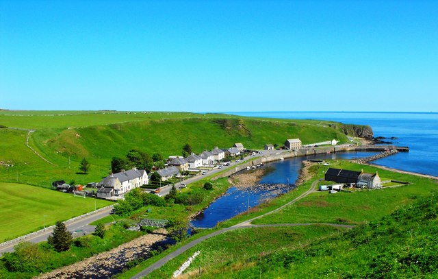
Stream Stone is a small island located off the north coast of Scotland, in the county of Caithness. It is situated within the Pentland Firth, a strait known for its strong tidal currents. The island is known for its unique geological formations and diverse wildlife.
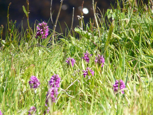
The island gets its name from the abundance of smooth, rounded stones that can be found along its shoreline. These stones have been shaped over time by the powerful tides and waves, giving them their distinctive appearance. They vary in size and color, ranging from small pebbles to larger boulders, and can be found in shades of grey, brown, and even reddish hues.
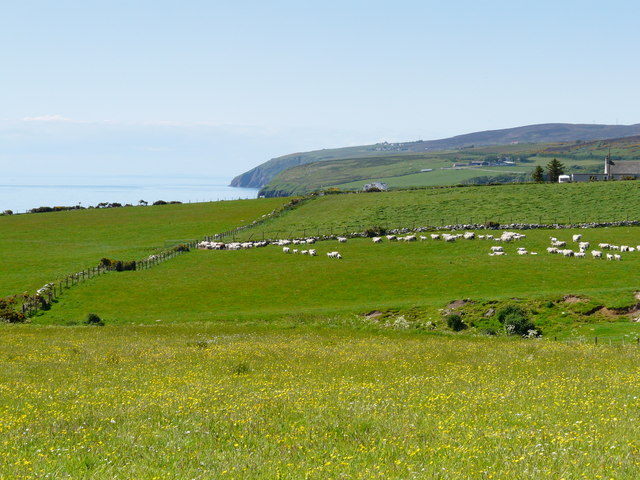
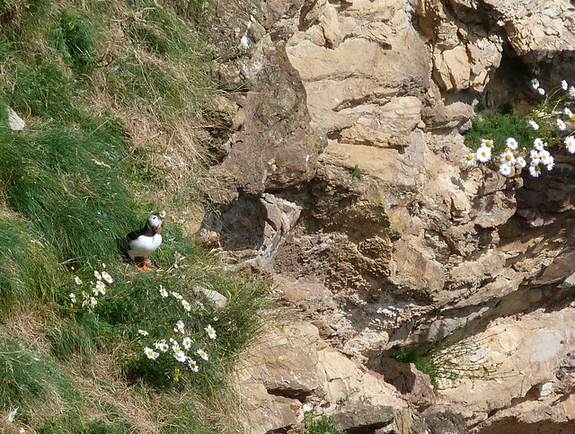
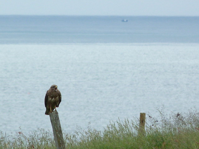
Despite its small size, Stream Stone is home to a rich and varied ecosystem. The surrounding waters are teeming with marine life, including seals, dolphins, and a variety of seabirds. The island itself provides a nesting ground for numerous bird species, such as puffins, guillemots, and razorbills. It is also a haven for plant life, with wildflowers and grasses covering the island's undulating landscape.
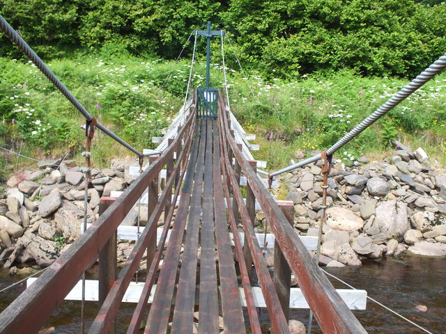
Access to Stream Stone is limited due to its remote location and the strong currents of the Pentland Firth. However, for those adventurous enough to visit, the island offers a tranquil and picturesque setting. Its rugged cliffs and rocky beaches provide stunning views of the surrounding sea and the nearby mainland. The island's natural beauty and unique geological features make it a popular destination for nature enthusiasts and photographers alike.
If you have any feedback on the listing, please let us know in the comments section below.
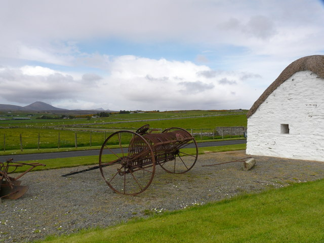
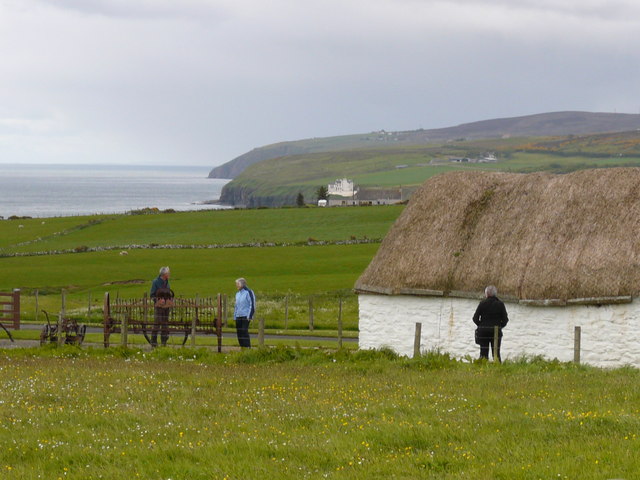
Stream Stone Images
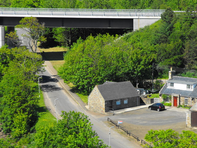
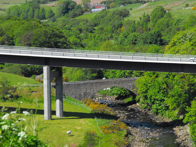
Images are sourced within 2km of 58.243627/-3.4199069 or Grid Reference ND1629. Thanks to Geograph Open Source API. All images are credited.
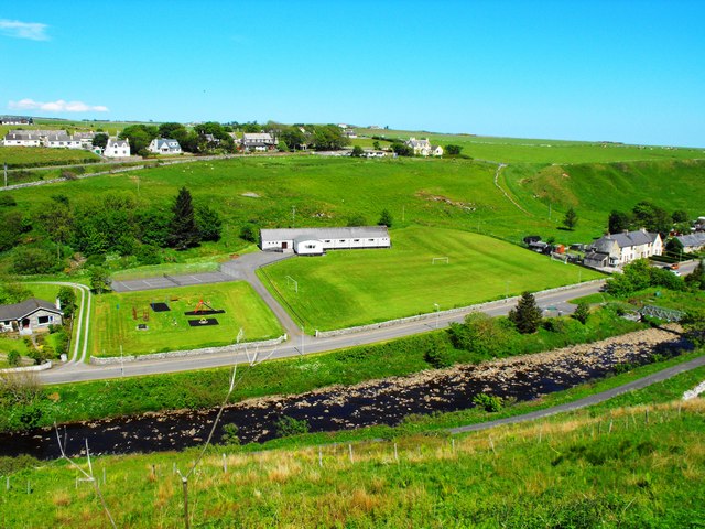
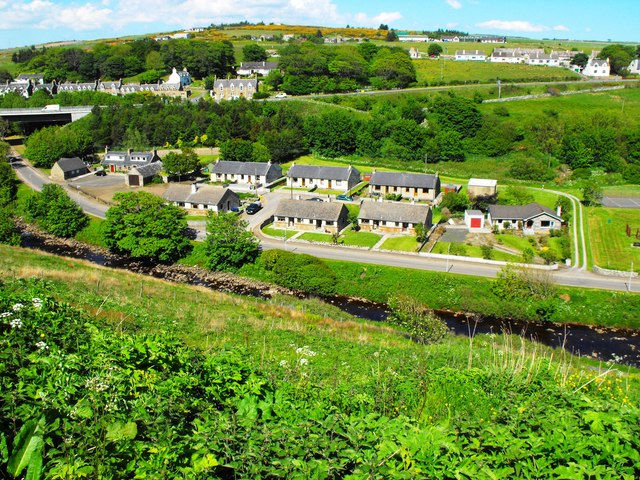


Stream Stone is located at Grid Ref: ND1629 (Lat: 58.243627, Lng: -3.4199069)
Unitary Authority: Highland
Police Authority: Highlands and Islands
What 3 Words
///allowable.housework.snipe. Near Dunbeath, Highland
Nearby Locations
Related Wikis

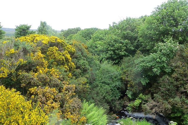
Dunbeath Water
Dunbeath Water is a short river in Caithness in northern Scotland. It rises at Loch Braigh na h-Aibhne in the Flow Country and initially flows northeast...

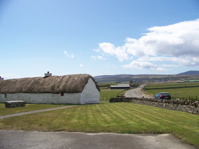
Dunbeath
Dunbeath (Scottish Gaelic: Dùn Bheithe) is a village in south-east Caithness, Scotland on the A9 road. It sits astride the Dunbeath Water just before it...

Dunbeath Castle
Dunbeath Castle is located on the east coast of Caithness, 2 kilometres (1.2 mi) south of Dunbeath, in northern Scotland. Although a castle has stood here...
Balnabruich
Balnabruich (from Scottish Gaelic Baile na Bruaich) is a small hamlet on the east coast of Scotland, close to Dunbeath, Caithness, Scottish Highlands...
Nearby Amenities
Located within 500m of 58.243627,-3.4199069Have you been to Stream Stone?
Leave your review of Stream Stone below (or comments, questions and feedback).