Portormin Head
Coastal Feature, Headland, Point in Caithness
Scotland
Portormin Head
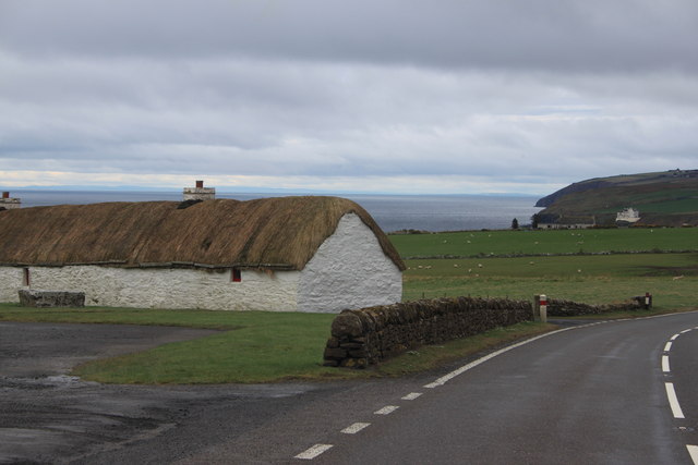
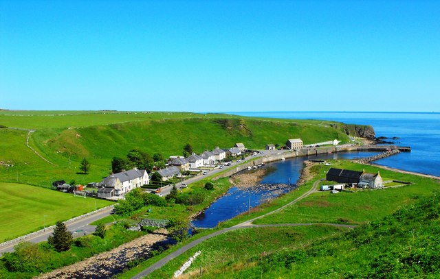
Portormin Head is a prominent coastal feature located in Caithness, Scotland. It is classified as a headland or point, jutting out into the North Sea. The headland is situated near the village of Dunnet, around 10 miles northwest of Thurso.
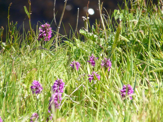
One of the defining characteristics of Portormin Head is its dramatic cliffs, which rise steeply from the sea. These cliffs are composed primarily of sedimentary rocks, including sandstone and limestone, which have been shaped by erosion over millions of years. The rugged and jagged nature of the cliffs adds to the scenic beauty of the area.
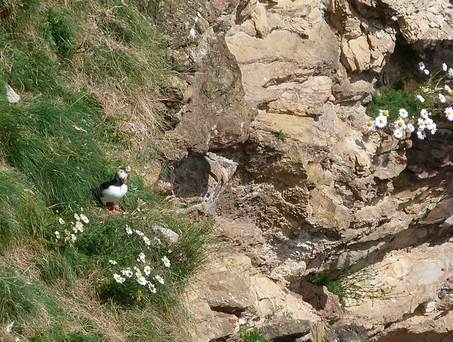
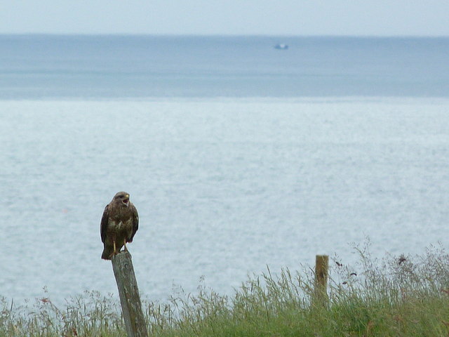
The headland is also known for its diverse wildlife. Several species of seabirds, including guillemots, razorbills, and puffins, make their homes on the cliffs. Visitors can often observe these birds nesting and flying around the area, particularly during the breeding season.
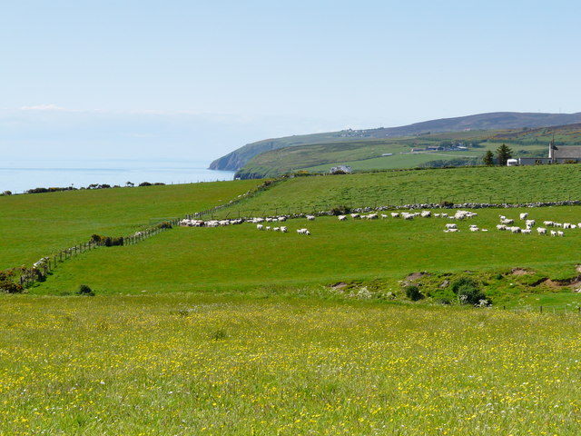
Portormin Head offers breathtaking views of the surrounding coastline and the North Sea. On clear days, it is possible to see as far as Orkney Islands, which lie to the northeast. The headland is a popular spot for nature enthusiasts, hikers, and photographers who wish to capture the stunning vistas.
Access to Portormin Head is relatively easy, with a nearby car park and footpath leading to the headland. However, caution should be exercised near the cliffs, as they can be unstable in some areas. It is advisable to stay on designated paths and follow safety guidelines when exploring the site.
In summary, Portormin Head is a captivating coastal feature in Caithness, Scotland. Its towering cliffs, diverse wildlife, and panoramic views make it a must-visit destination for anyone seeking to experience the natural beauty of the area.
If you have any feedback on the listing, please let us know in the comments section below.
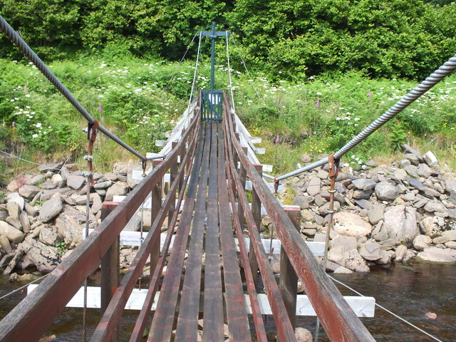
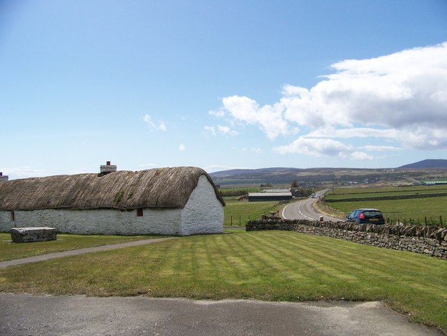
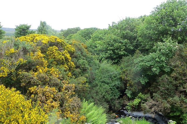
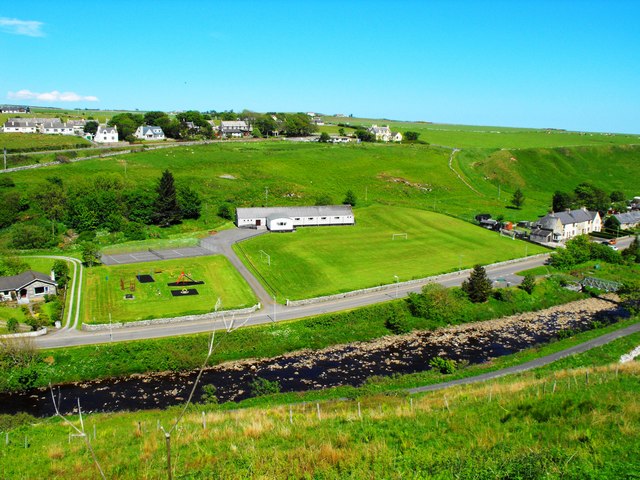
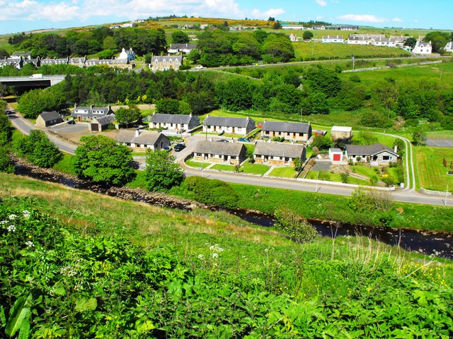
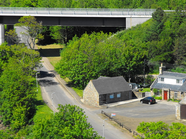
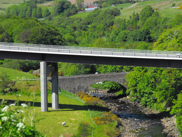
Portormin Head Images
Images are sourced within 2km of 58.244876/-3.419139 or Grid Reference ND1629. Thanks to Geograph Open Source API. All images are credited.


Portormin Head is located at Grid Ref: ND1629 (Lat: 58.244876, Lng: -3.419139)
Unitary Authority: Highland
Police Authority: Highlands and Islands
What 3 Words
///early.relished.playing. Near Dunbeath, Highland
Nearby Locations
Related Wikis

Dunbeath Water
Dunbeath Water is a short river in Caithness in northern Scotland. It rises at Loch Braigh na h-Aibhne in the Flow Country and initially flows northeast...

Dunbeath
Dunbeath (Scottish Gaelic: Dùn Bheithe) is a village in south-east Caithness, Scotland on the A9 road. It sits astride the Dunbeath Water just before it...

Dunbeath Castle
Dunbeath Castle is located on the east coast of Caithness, 2 kilometres (1.2 mi) south of Dunbeath, in northern Scotland. Although a castle has stood here...
Balnabruich
Balnabruich (from Scottish Gaelic Baile na Bruaich) is a small hamlet on the east coast of Scotland, close to Dunbeath, Caithness, Scottish Highlands...
Ramscraig
Ramscraig is a small scattered crofting hamlet, located 2 miles southwest from Dunbeath, in eastern Caithness, Scottish Highlands and is in the Scottish...
Landhallow
Landhallow is a small village, approximately 1 mile west of Latheron in eastern Caithness, Scottish Highlands and is in the Scottish council area of...
Smerral
Smerral is a small hamlet on the eastern coast of Caithness, Scottish Highlands and is in the Scottish council area of Highland. It lies 1 mile (1.6 km...

Latheronwheel
Latheronwheel (from Scottish Gaelic Latharn a' Phuill 'muddy place of the pool') is a small village in Caithness, in the Highland area of Scotland. It...
Nearby Amenities
Located within 500m of 58.244876,-3.419139Have you been to Portormin Head?
Leave your review of Portormin Head below (or comments, questions and feedback).