Downing Point
Coastal Feature, Headland, Point in Fife
Scotland
Downing Point

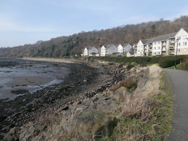
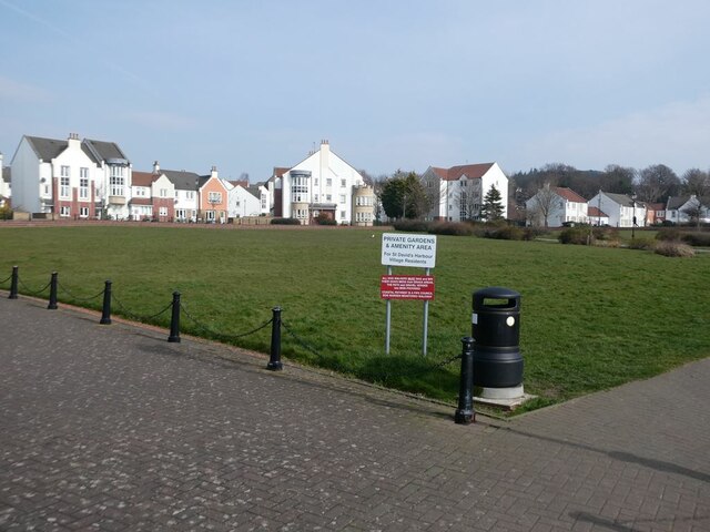
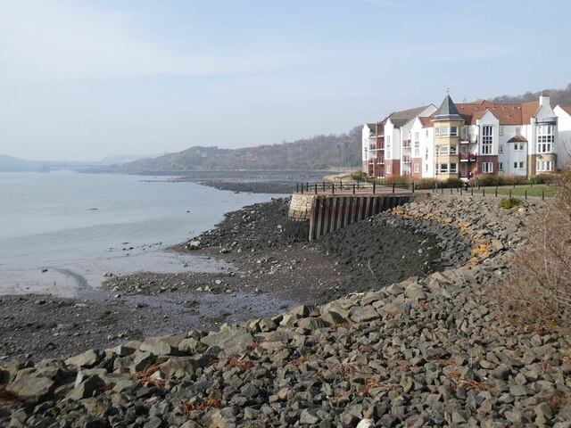
Downing Point is a prominent headland located on the coast of Fife, Scotland. It is situated along the eastern shore of the Firth of Forth, approximately 5 miles east of the town of St. Andrews. This coastal feature is a popular destination for locals and visitors alike due to its stunning natural beauty and historical significance.
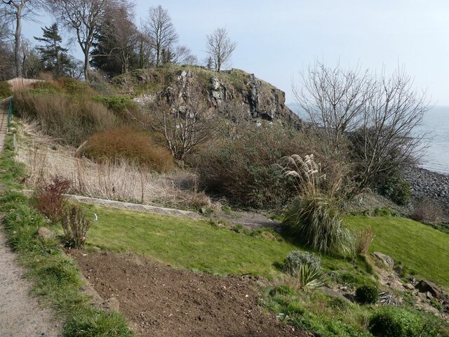
The point itself is characterized by rugged cliffs that rise dramatically from the sea, creating a picturesque backdrop against the crashing waves. These cliffs are composed of sandstone and provide a habitat for various seabirds, including guillemots and kittiwakes. The area is also home to a diverse array of marine life, making it a haven for nature enthusiasts and wildlife photographers.
In addition to its natural allure, Downing Point holds historical significance. It is believed to have been a defensive site during ancient times, with archaeological evidence suggesting the presence of a fort or settlement. The remains of a medieval watchtower can still be seen on the headland, serving as a reminder of its strategic importance in the past.
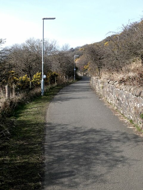
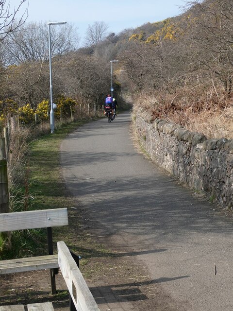
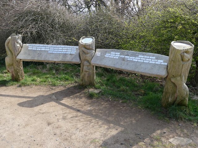
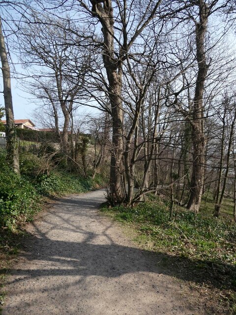
Access to Downing Point is relatively easy, with a well-maintained footpath leading from the nearby village of Kingsbarns. From the top of the headland, visitors are rewarded with panoramic views of the Firth of Forth and the surrounding coastline, offering a glimpse into Scotland's breathtaking coastal landscape.
Overall, Downing Point is a captivating coastal feature that seamlessly combines natural beauty with historical significance. Its rugged cliffs, diverse wildlife, and panoramic views make it a must-visit destination for anyone exploring the coastal wonders of Fife.
If you have any feedback on the listing, please let us know in the comments section below.
Downing Point Images
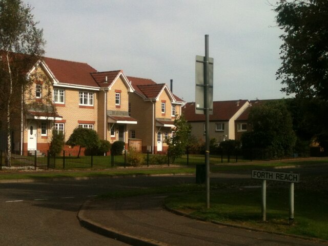
Images are sourced within 2km of 56.027775/-3.3525796 or Grid Reference NT1582. Thanks to Geograph Open Source API. All images are credited.


Downing Point is located at Grid Ref: NT1582 (Lat: 56.027775, Lng: -3.3525796)
Unitary Authority: Fife
Police Authority: Fife
What 3 Words
///proud.automate.compounds. Near Dalgety Bay, Fife
Nearby Locations
Related Wikis
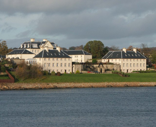
Donibristle
Donibristle (Scots: also Dunibirsle) was a house and estate in Fife, Scotland, on the coast of the Firth of Forth. Only the wings of the house remain,...

RNAS Donibristle (HMS Merlin)
Royal Naval Air Station Donibristle or more simply RNAS Donibristle was a former Fleet Air Arm base located 2.7 miles (4.3 km) east of Rosyth, Fife, and...

St Bridget's Kirk
St. Bridget's Kirk is a ruined church on the outskirts of Dalgety Bay, Fife, Scotland. It is a shell of a medieval church, dating back at least as far...

Dalgety Bay railway station
Dalgety Bay railway station serves the town of Dalgety Bay in Fife, Scotland. Lying on the Fife Circle and EdinburghーDundee lines, it is managed by ScotRail...
Nearby Amenities
Located within 500m of 56.027775,-3.3525796Have you been to Downing Point?
Leave your review of Downing Point below (or comments, questions and feedback).