Ceann Badaidh na Muic

Coastal Feature, Headland, Point in Caithness

Scotland

Ceann Badaidh na Muic

Castlehill filling station Though it has been many a year that you could get fuel here. Now there are no petrol stations between Brora and Thrumster, the best part of 50 miles.
Castlehill filling station Credit: Peter Moore

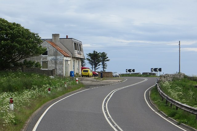
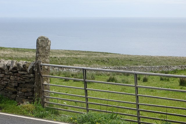
Ceann Badaidh na Muic, located in Caithness in Scotland, is a prominent coastal feature that juts out into the North Sea. This headland is characterized by its rugged cliffs, which rise steeply from the sea, providing stunning views of the surrounding coastline. The name Ceann Badaidh na Muic translates to "Headland of the Pig's Boat" in English, a reference to the shape of the headland resembling a pig's boat.

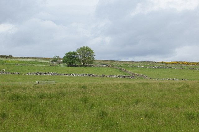
The headland is a popular spot for outdoor enthusiasts, offering opportunities for hiking, birdwatching, and photography. The area is home to a variety of bird species, including seabirds such as puffins and guillemots. Visitors can also enjoy the sight of crashing waves against the cliffs and the sound of the sea.

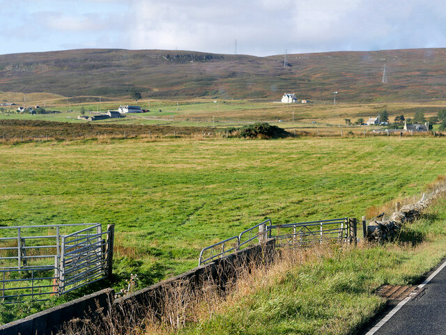
Ceann Badaidh na Muic is a significant landmark in the Caithness region, providing a glimpse into the natural beauty and geological history of the area. Its remote location and rugged terrain make it a unique and awe-inspiring destination for those seeking to explore the wild and untamed beauty of the Scottish coastline.

If you have any feedback on the listing, please let us know in the comments section below.

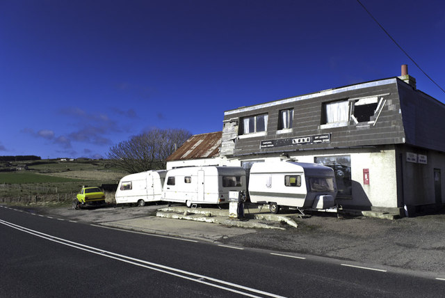
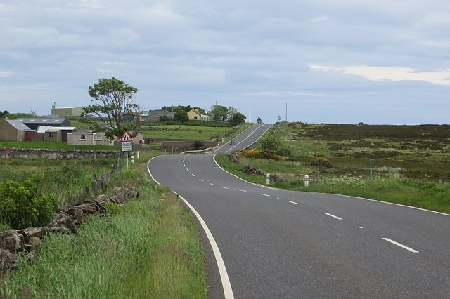
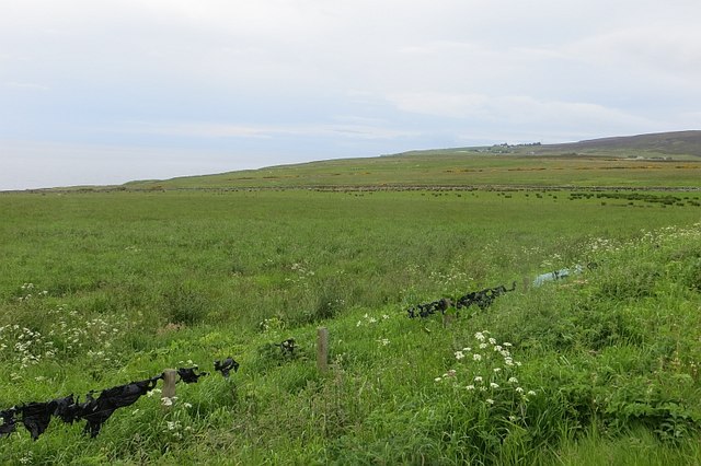
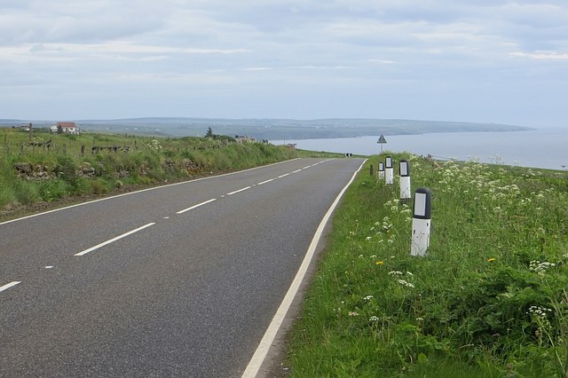
Ceann Badaidh na Muic Images

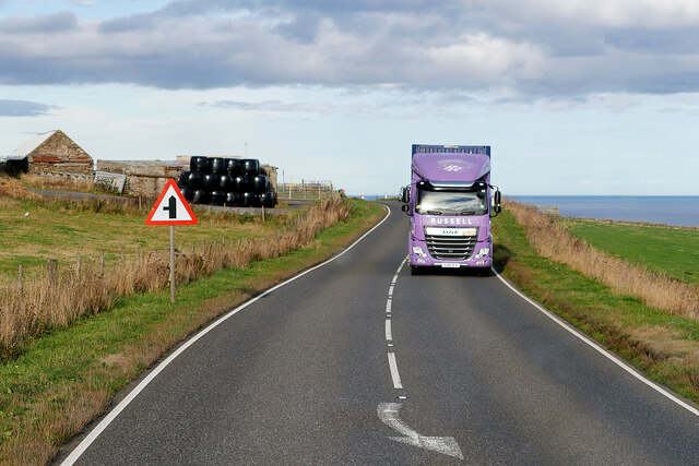
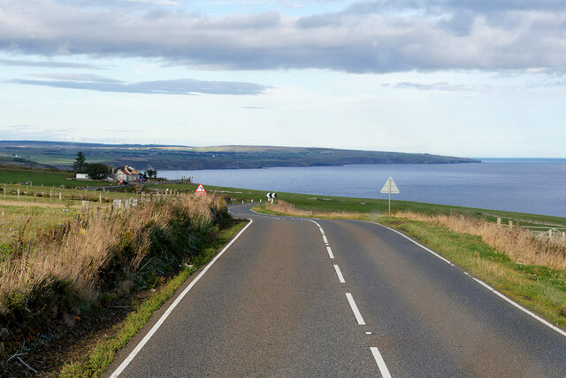
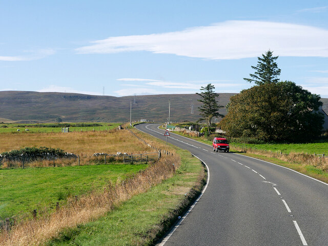
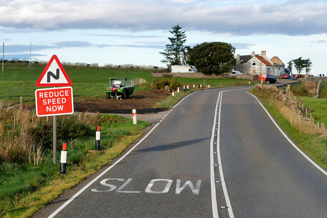
Images are sourced within 2km of 58.223177/-3.4483912 or Grid Reference ND1526. Thanks to Geograph Open Source API. All images are credited.

Castlehill filling station Though it has been many a year that you could get fuel here. Now there are no petrol stations between Brora and Thrumster, the best part of 50 miles.
Castlehill filling station
Though it has been many a year that you could get fuel here. Now there are no petrol stations between Brora and Thrumster, the best part of 50 miles.
A9, Ramscraigs Northbound view. The road was very quiet this morning.
A9, Ramscraigs
Northbound view. The road was very quiet this morning.
Road to Rockhead Land between the A9 and sea, by Borgue and Ramscraigs, Caithness.
Road to Rockhead
Land between the A9 and sea, by Borgue and Ramscraigs, Caithness.
Leathad na Goibhre Above the "goat coast", fields with bale covering snagged on barbed wire.
Leathad na Goibhre
Above the "goat coast", fields with bale covering snagged on barbed wire.
A9, Ramscraigs A fine view northwards along the Caithness coast.
A9, Ramscraigs
A fine view northwards along the Caithness coast.
Castlehill filling station A derelict petrol station on the A9. Now there is no fuel before Brora going south or Thurso on one of the two northbound routes (probably Wick on the other).
Castlehill filling station
A derelict petrol station on the A9. Now there is no fuel before Brora going south or Thurso on one of the two northbound routes (probably Wick on the other).
Fields, Castlehill Inland of the A9.
Fields, Castlehill
Inland of the A9.
Cattle, Castlehill One of the many small fields above the sea cliffs.
Cattle, Castlehill
One of the many small fields above the sea cliffs.
A9, Dunbeath Mains Approaching the plunge to Dunbeath.
A9, Dunbeath Mains
Approaching the plunge to Dunbeath.
Coastal pasture, Dunbeath Mains
Roadside sandstone Exposed old red sandstone in a road cutting south of Dunbeath.
Roadside sandstone
Exposed old red sandstone in a road cutting south of Dunbeath.
Ramscraigs View to the north of the A9.
Ramscraigs
View to the north of the A9.
House at Ramscraigs
House at Ramscraigs
Northbound A9, Ramscraigs The A9 is a strategic link between the Highlands of Scotland and the Central Belt. Running for 273 miles, it is the longest road in Scotland and the fifth-longest A-road in the United Kingdom. Historically it was the main road between Edinburgh and John o' Groats but its importance has been eclipsed somewhat in the south by the A90 across the Forth Road Bridge and the M90 motorway, which now links Edinburgh more directly with Perth, and the M9, which is now the main road between Edinburgh and Bridge of Allan.
Northbound A9, Ramscraigs
The A9 is a strategic link between the Highlands of Scotland and the Central Belt. Running for 273 miles, it is the longest road in Scotland and the fifth-longest A-road in the United Kingdom. Historically it was the main road between Edinburgh and John o' Groats but its importance has been eclipsed somewhat in the south by the A90 across the Forth Road Bridge and the M90 motorway, which now links Edinburgh more directly with Perth, and the M9, which is now the main road between Edinburgh and Bridge of Allan.
HGV Heading South on the A9 near Ramscraigs The A9 is a strategic link between the Highlands of Scotland and the Central Belt. Running for 273 miles, it is the longest road in Scotland and the fifth-longest A-road in the United Kingdom. Historically it was the main road between Edinburgh and John o' Groats but its importance has been eclipsed somewhat in the south by the A90 across the Forth Road Bridge and the M90 motorway, which now links Edinburgh more directly with Perth, and the M9, which is now the main road between Edinburgh and Bridge of Allan.
HGV Heading South on the A9 near Ramscraigs
The A9 is a strategic link between the Highlands of Scotland and the Central Belt. Running for 273 miles, it is the longest road in Scotland and the fifth-longest A-road in the United Kingdom. Historically it was the main road between Edinburgh and John o' Groats but its importance has been eclipsed somewhat in the south by the A90 across the Forth Road Bridge and the M90 motorway, which now links Edinburgh more directly with Perth, and the M9, which is now the main road between Edinburgh and Bridge of Allan.
Northbound A9 near Ramscraigs The A9 is a strategic link between the Highlands of Scotland and the Central Belt. Running for 273 miles, it is the longest road in Scotland and the fifth-longest A-road in the United Kingdom. Historically it was the main road between Edinburgh and John o' Groats but its importance has been eclipsed somewhat in the south by the A90 across the Forth Road Bridge and the M90 motorway, which now links Edinburgh more directly with Perth, and the M9, which is now the main road between Edinburgh and Bridge of Allan.
Northbound A9 near Ramscraigs
The A9 is a strategic link between the Highlands of Scotland and the Central Belt. Running for 273 miles, it is the longest road in Scotland and the fifth-longest A-road in the United Kingdom. Historically it was the main road between Edinburgh and John o' Groats but its importance has been eclipsed somewhat in the south by the A90 across the Forth Road Bridge and the M90 motorway, which now links Edinburgh more directly with Perth, and the M9, which is now the main road between Edinburgh and Bridge of Allan.
Southbound A9 near Ramscraigs The A9 is a strategic link between the Highlands of Scotland and the Central Belt. Running for 273 miles, it is the longest road in Scotland and the fifth-longest A-road in the United Kingdom. Historically it was the main road between Edinburgh and John o' Groats but its importance has been eclipsed somewhat in the south by the A90 across the Forth Road Bridge and the M90 motorway, which now links Edinburgh more directly with Perth, and the M9, which is now the main road between Edinburgh and Bridge of Allan.
Southbound A9 near Ramscraigs
The A9 is a strategic link between the Highlands of Scotland and the Central Belt. Running for 273 miles, it is the longest road in Scotland and the fifth-longest A-road in the United Kingdom. Historically it was the main road between Edinburgh and John o' Groats but its importance has been eclipsed somewhat in the south by the A90 across the Forth Road Bridge and the M90 motorway, which now links Edinburgh more directly with Perth, and the M9, which is now the main road between Edinburgh and Bridge of Allan.
A9 near Ramscraigs The A9 is a strategic link between the Highlands of Scotland and the Central Belt. Running for 273 miles, it is the longest road in Scotland and the fifth-longest A-road in the United Kingdom. Historically it was the main road between Edinburgh and John o' Groats but its importance has been eclipsed somewhat in the south by the A90 across the Forth Road Bridge and the M90 motorway, which now links Edinburgh more directly with Perth, and the M9, which is now the main road between Edinburgh and Bridge of Allan.
A9 near Ramscraigs
The A9 is a strategic link between the Highlands of Scotland and the Central Belt. Running for 273 miles, it is the longest road in Scotland and the fifth-longest A-road in the United Kingdom. Historically it was the main road between Edinburgh and John o' Groats but its importance has been eclipsed somewhat in the south by the A90 across the Forth Road Bridge and the M90 motorway, which now links Edinburgh more directly with Perth, and the M9, which is now the main road between Edinburgh and Bridge of Allan.
Show me another place!

Ceann Badaidh na Muic is located at Grid Ref: ND1526 (Lat: 58.223177, Lng: -3.4483912)

Unitary Authority: Highland

Police Authority: Highlands and Islands

What 3 Words

///mistaking.acquaint.consonant. Near Dunbeath, Highland

Nearby Locations

Ceann Badaidh na Muic

Related Wikis

Ramscraig

Ramscraig is a small scattered crofting hamlet, located 2 miles southwest from Dunbeath, in eastern Caithness, Scottish Highlands and is in the Scottish...

Dunbeath Castle

Dunbeath Castle is located on the east coast of Caithness, 2 kilometres (1.2 mi) south of Dunbeath, in northern Scotland. Although a castle has stood here...

Balnabruich

Balnabruich (from Scottish Gaelic Baile na Bruaich) is a small hamlet on the east coast of Scotland, close to Dunbeath, Caithness, Scottish Highlands...

Newport, Caithness

Newport is a small remote village on the eastern shore of Caithness, Scottish Highlands and is in the Scottish council area of Highland.Ramscraig lies...

Nearby Amenities

Located within 500m of 58.223177,-3.4483912
Post Box
Collection Times: Mo-Fr 12:00; Sa 12:00
Post Box Type: wall
Ref: KW3 54
Royal Cypher: GR
Royal Cypher Wikidata: Q33102273
Lat/Long: 58.2270425/-3.4500642
Source: PGS
Lat/Long: 58.2246029/-3.446789
The data included in this document is from www.openstreetmap.org. The data is made available under ODbL.

Have you been to Ceann Badaidh na Muic?

Leave your review of Ceann Badaidh na Muic below (or comments, questions and feedback).