Singing Rock
Coastal Feature, Headland, Point in Caithness
Scotland
Singing Rock
Singing Rock is a prominent coastal feature located in Caithness, a historical county in the northernmost part of mainland Scotland. Situated on the eastern coast overlooking the North Sea, Singing Rock is a distinctive headland that has become a notable attraction for both locals and tourists.
The name "Singing Rock" originates from the peculiar sound produced when the wind blows through the natural arch formed by the erosion of the cliff. This unique acoustic phenomenon has captivated visitors for centuries, with the wind creating an eerie and haunting melody that resonates throughout the area. It is said that the sound resembles a chorus of distant voices, hence the name.
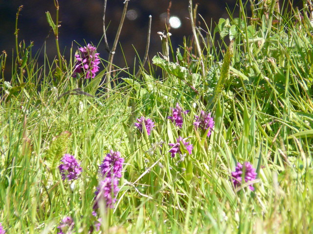
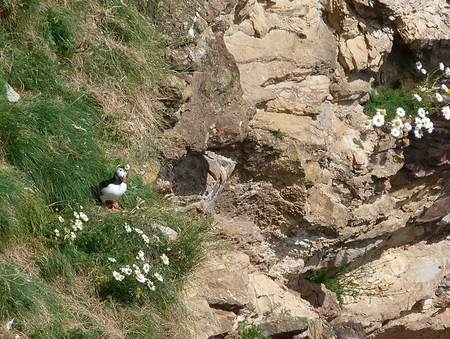
The headland itself is characterized by rugged cliffs that rise dramatically from the sea, forming a striking visual spectacle. The cliffs are composed of layers of sedimentary rock, displaying a range of colors and textures that add to the area's natural beauty. Singing Rock is also known for its diverse wildlife, with seabirds such as puffins, guillemots, and fulmars nesting along its cliffs.
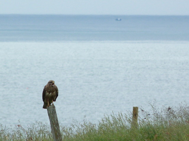
Accessible via a well-maintained footpath, Singing Rock offers visitors breathtaking panoramic views of the surrounding coastline and the North Sea. The headland serves as an excellent vantage point for spotting marine life such as dolphins and whales that occasionally pass through the waters below.
Due to its geological significance, Singing Rock has been designated as a protected site, ensuring its preservation for future generations to enjoy. Whether it is the enchanting sound of the wind or the awe-inspiring natural beauty, Singing Rock is undoubtedly a must-visit destination for nature enthusiasts and those seeking a unique coastal experience in Caithness.
If you have any feedback on the listing, please let us know in the comments section below.
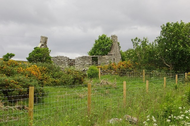
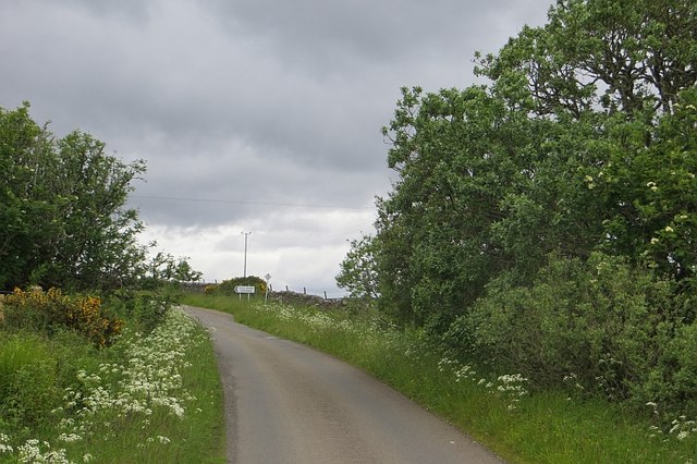
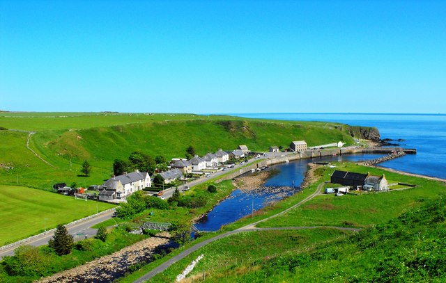
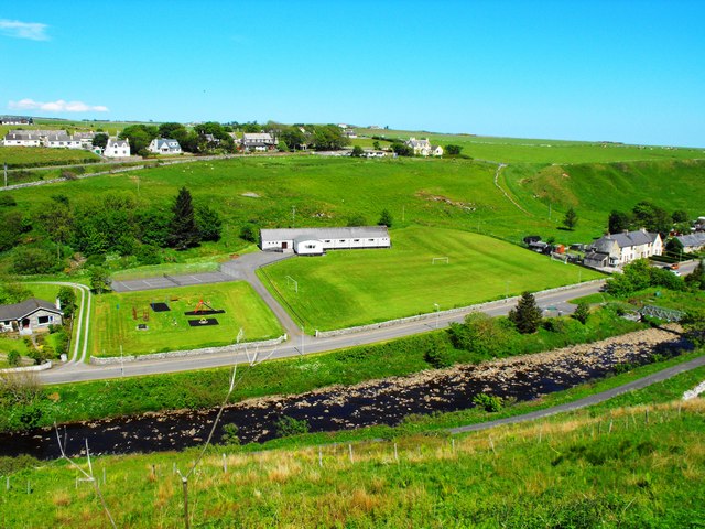
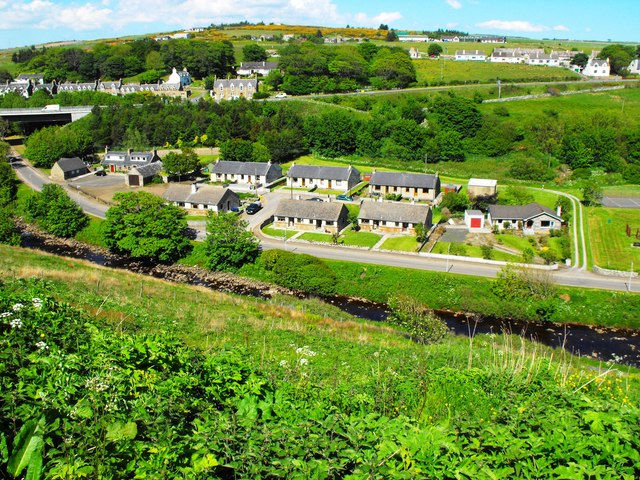
Singing Rock Images
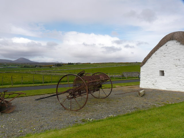
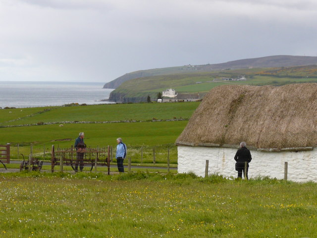
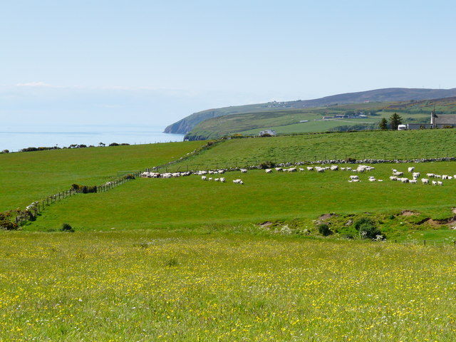
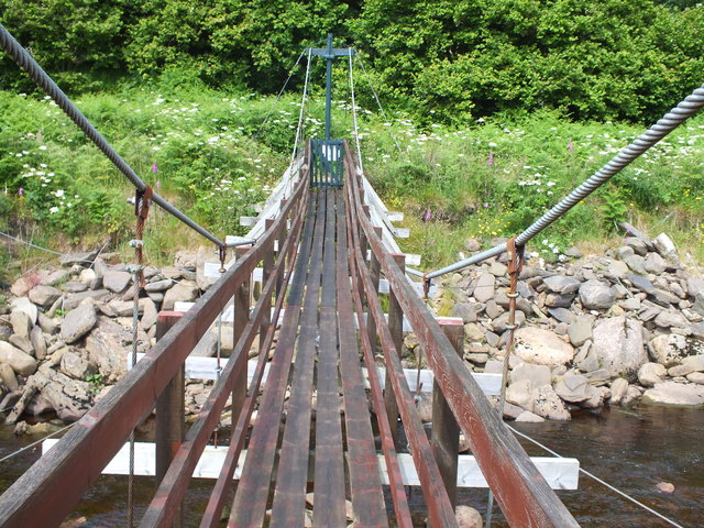
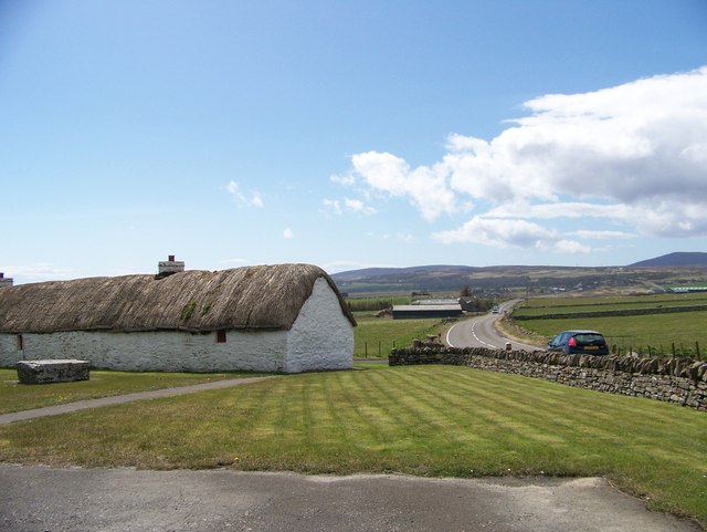
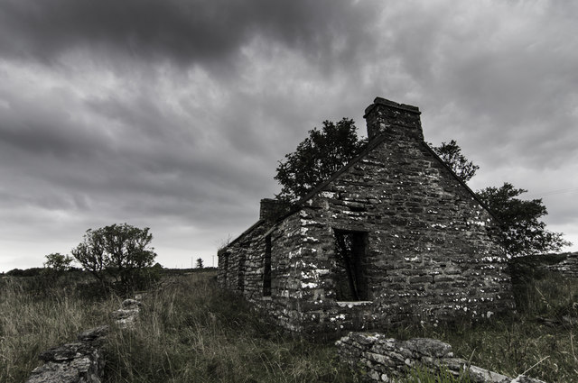
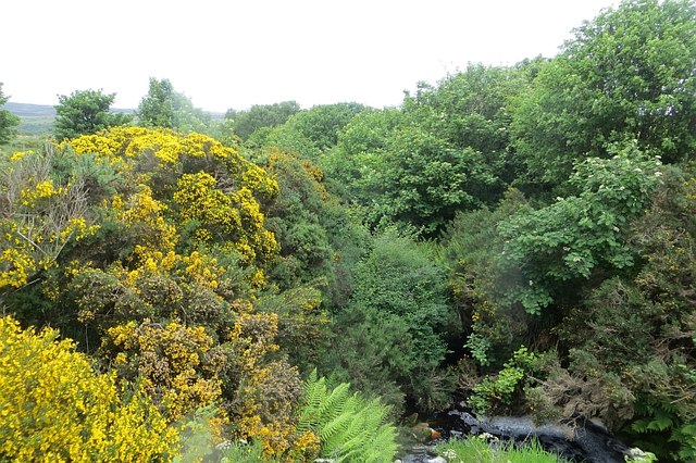
Images are sourced within 2km of 58.242138/-3.4294209 or Grid Reference ND1629. Thanks to Geograph Open Source API. All images are credited.

Singing Rock is located at Grid Ref: ND1629 (Lat: 58.242138, Lng: -3.4294209)
Unitary Authority: Highland
Police Authority: Highlands and Islands
What 3 Words
///fulfilled.sings.passions. Near Dunbeath, Highland
Nearby Locations
Related Wikis

Dunbeath Water
Dunbeath Water is a short river in Caithness in northern Scotland. It rises at Loch Braigh na h-Aibhne in the Flow Country and initially flows northeast...

Dunbeath
Dunbeath (Scottish Gaelic: Dùn Bheithe) is a village in south-east Caithness, Scotland on the A9 road. It sits astride the Dunbeath Water just before it...
Balnabruich
Balnabruich (from Scottish Gaelic Baile na Bruaich) is a small hamlet on the east coast of Scotland, close to Dunbeath, Caithness, Scottish Highlands...

Dunbeath Castle
Dunbeath Castle is located on the east coast of Caithness, 2 kilometres (1.2 mi) south of Dunbeath, in northern Scotland. Although a castle has stood here...
Nearby Amenities
Located within 500m of 58.242138,-3.4294209Have you been to Singing Rock?
Leave your review of Singing Rock below (or comments, questions and feedback).