Ailie Rocks

Coastal Feature, Headland, Point in Fife

Scotland

Ailie Rocks

Culross Seen from Bo'ness, across the Forth.
Culross Credit: Richard Sutcliffe

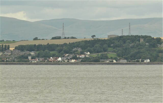
Ailie Rocks is a prominent and picturesque coastal feature located in Fife, Scotland. It is a headland, also referred to as a point, that juts out into the North Sea. Positioned between the towns of Elie and Earlsferry, Ailie Rocks offers breathtaking views and is a popular spot for tourists and locals alike.

The rocks themselves are composed of rugged sandstone, which has been shaped and sculpted by centuries of coastal erosion. They form a distinct and dramatic cliff face that reaches a height of around 30 meters above sea level. This elevation provides visitors with stunning panoramic vistas of the surrounding coastline and the vast expanse of the North Sea.

Ailie Rocks is also known for its diverse wildlife. The surrounding waters are home to a variety of marine species, including seals, dolphins, and a wide range of seabirds. Birdwatchers flock to the area to catch a glimpse of the resident puffins, guillemots, and gannets. The rock pools that dot the shoreline are teeming with fascinating marine life, making it a popular spot for children to explore and learn about the coastal ecosystem.

In addition to its natural beauty, Ailie Rocks has historical significance. It is believed that the rocks were named after a local fishwife named Ailie who met her untimely demise in the treacherous waters surrounding the headland. There are also remnants of ancient fortifications on the site, indicating that it may have been a defensive position in times of conflict.

Overall, Ailie Rocks is a captivating coastal feature that offers a unique blend of natural beauty, wildlife, and historical interest. Its accessibility and stunning views make it a must-visit destination for anyone exploring the Fife coastline.

If you have any feedback on the listing, please let us know in the comments section below.

Ailie Rocks Images

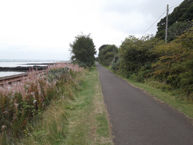
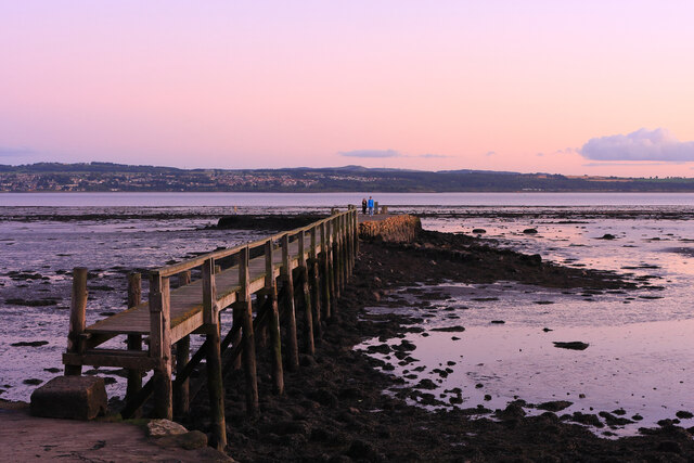
Images are sourced within 2km of 56.053757/-3.6274669 or Grid Reference NS9885. Thanks to Geograph Open Source API. All images are credited.
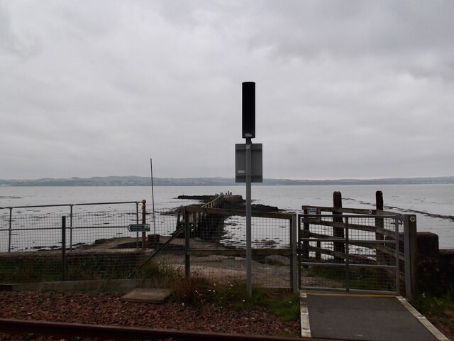
Culross Seen from Bo'ness, across the Forth.
Culross
Seen from Bo'ness, across the Forth.
A Humourous Epitaph This is definitely the most eccentric gravestone I have come across so far. Why it has big stars for ears is the first question that comes to mind - it looks like a Snapchat filter ahead of time.
The epitaph took a bit of deciphering but I'm pretty sure the following is a fairly accurate transcription:
MY GLASS IS RVN
MY TYM IS SPENT
AND FOR MY SINS I SHOULD REPENT
It is almost unheard of to read anything so light-hearted on a gravestone and it is rather like the dead man is entering the afterlife - though it would seem unlikely he bought into religion too much on the basis of this - with a smile and a wink!
There is fresh earth around the stone. This usually signifies that the headstone had become unstable over time and has recently been righted. However it still sits at a jaunty angle. This guy's not just having the last laugh, he seems to be having all the laughs!
A Humourous Epitaph
This is definitely the most eccentric gravestone I have come across so far. Why it has big stars for ears is the first question that comes to mind - it looks like a Snapchat filter ahead of time. The epitaph took a bit of deciphering but I'm pretty sure the following is a fairly accurate transcription: MY GLASS IS RVN MY TYM IS SPENT AND FOR MY SINS I SHOULD REPENT It is almost unheard of to read anything so light-hearted on a gravestone and it is rather like the dead man is entering the afterlife - though it would seem unlikely he bought into religion too much on the basis of this - with a smile and a wink! There is fresh earth around the stone. This usually signifies that the headstone had become unstable over time and has recently been righted. However it still sits at a jaunty angle. This guy's not just having the last laugh, he seems to be having all the laughs!
Ruins in Culross Abbey
The Moat Pier Used for the exportation of coal
The Moat Pier
Used for the exportation of coal
Fife Coastal Path west of Culross
Culross Old Pier A view of the Culross Old Pier at sunset which has been slowly reconstructed over the years and now extends out almost to its original length. The pier provides an excellent view point for bird watching at low tide and spectacular evening sunset views.
Culross Old Pier
A view of the Culross Old Pier at sunset which has been slowly reconstructed over the years and now extends out almost to its original length. The pier provides an excellent view point for bird watching at low tide and spectacular evening sunset views.
A985 north of Culross, Fife
The railway to Longannet Looking west from the footbridge leading to the Torry Bay Nature Reserve - the path around the ash lagoons.
The railway to Longannet
Looking west from the footbridge leading to the Torry Bay Nature Reserve - the path around the ash lagoons.
Footpath and NCN sign at Valleyfield The Fife Coastal Path and NCN76 pass this way; Preston Island Circular goes round the perimeter [mostly] of the ash lagoons and Torry Bay Nature Reserve.
Footpath and NCN sign at Valleyfield
The Fife Coastal Path and NCN76 pass this way; Preston Island Circular goes round the perimeter [mostly] of the ash lagoons and Torry Bay Nature Reserve.
Houses on Main Street, Low Valleyfield
Beech Place, Low Valleyfield Off Main Street.
Beech Place, Low Valleyfield
Off Main Street.
Bus stop, Low Valleyfield Looking north east.
Bus stop, Low Valleyfield
Looking north east.
Preston Island Fencing surrounding the ash lagoons on Preston Island in the Forth estuary.
Preston Island
Fencing surrounding the ash lagoons on Preston Island in the Forth estuary.
Sea wall, Valleyfield The path which surrounds the ash lagoons and visits Preston Island runs between a fence and the sea wall. Land within the wall has, with the tiny exception of Preston Island, been reclaimed from the Firth of Forth.
Sea wall, Valleyfield
The path which surrounds the ash lagoons and visits Preston Island runs between a fence and the sea wall. Land within the wall has, with the tiny exception of Preston Island, been reclaimed from the Firth of Forth.
Foot bridge over railway Taking the Fife Coastal Path across a railway north of Preston Island.
Foot bridge over railway
Taking the Fife Coastal Path across a railway north of Preston Island.
Railway footbridge Carrying the Fife Coastal Path over a railway south of Low Valleyfield.
Railway footbridge
Carrying the Fife Coastal Path over a railway south of Low Valleyfield.
Sea wall The south stretch of the substantial wall that surrounds the artificial piece of Fife to the south of Valleyfield. The wall protects ash lagoons which are reclaimed land, created from the coal burning operations at Longannet power station <a href="https://www.geograph.org.uk/gridref/NS9585">NS9585</a>. The ash is mixed with water and pumped along pipes to the artificial lagoons - now a haven for wildlife, thanks to surrounding mud flats and extensive tree planting.
Sea wall
The south stretch of the substantial wall that surrounds the artificial piece of Fife to the south of Valleyfield. The wall protects ash lagoons which are reclaimed land, created from the coal burning operations at Longannet power station NS9585. The ash is mixed with water and pumped along pipes to the artificial lagoons - now a haven for wildlife, thanks to surrounding mud flats and extensive tree planting.
Show me another place!

Ailie Rocks is located at Grid Ref: NS9885 (Lat: 56.053757, Lng: -3.6274669)

Unitary Authority: Fife

Police Authority: Fife

What 3 Words

///warblers.stadium.risky. Near High Valleyfield, Fife

Related Wikis

Nearby Amenities

Located within 500m of 56.053757,-3.6274669
Culross
Name Sco: Courus
Place: village
Population: 395
Source: npe
Wikidata: Q2424554
Wikipedia: en:Culross
Lat/Long: 56.0556633/-3.6283699
Post Box
Collection Times: Mo-Fr 16:45; Sa 10:00
Operator: Royal Mail
Post Box Type: lamp
Ref: KY12 159
Royal Cypher: scottish_crown
Lat/Long: 56.0548718/-3.6285567
Recycling
Lat/Long: 56.0552962/-3.6224757
Cafe
Biscuit Cafe
Addr City: Culross
Addr Country: GB
Addr Place: Sandhaven
Addr Postcode: KY12 8JG
Diet Vegetarian: yes
Opening Hours: Mo-Su 10:00-17:00
Lat/Long: 56.0555862/-3.6303941
Post Box
Collection Times: Mo-Fr 09:00; Sa 07:00
Operator: Royal Mail
Operator Wikidata: Q638098
Ref: KY12 128
Royal Cypher: scottish_crown
Lat/Long: 56.0579577/-3.62625
Entrance: yes
Wheelchair: no
Lat/Long: 56.0555493/-3.6311517
Culross Pottery and Gallery
Addr City: Culross
Addr Country: GB
Addr Place: Sandhaven
Addr Postcode: KY12 8JG
Shop: art
Wheelchair: no
Lat/Long: 56.0555801/-3.6302526
Admiral Lord Thomas Alexander Cochrane
Artwork Type: statue
Subject Wikidata: Q334994
Tourism: artwork
Lat/Long: 56.0553143/-3.6307484
On sacred ground
Board Type: history
Information: board
Tourism: information
Lat/Long: 56.0579245/-3.6261151
Leisure: pitch
Sport: table_tennis
Lat/Long: 56.0548666/-3.6324156
Historic: memorial
Memorial: war_memorial
Lat/Long: 56.0550503/-3.6323502
Culross
Board Type: history
Information: board
Tourism: information
Lat/Long: 56.0549283/-3.6329842
Culross Abbey
Board Type: history
Check Date: 2022-03-08
Information: board
Tourism: information
Lat/Long: 56.0581825/-3.6262949
Mercat Cross
Disused: yes
Historic: pillory
Material: stone
Memorial: mercat_cross
Name En: Market Cross of Culross
Tourism: attraction
Wikidata: Q17567823
Lat/Long: 56.0556308/-3.6284197
Information: board
Operator: Fife Coast and Countryside Trust
Tourism: information
Lat/Long: 56.0550132/-3.6324951
Information: guidepost
Tourism: information
Lat/Long: 56.0551852/-3.6303824
The work of God
Board Type: history
Information: board
Tourism: information
Lat/Long: 56.0579804/-3.6249569
Disused Amenity: cafe
Level: 0
Lat/Long: 56.0556693/-3.6281121
Toilets
Check Date: 2023-08-04
Fee: no
Level: 0
Wheelchair: yes
Lat/Long: 56.0556895/-3.631322
Information: guidepost
Tourism: information
Lat/Long: 56.0549417/-3.6329497
Bus Stop
Culross The Palace
Bench: yes
Bin: no
Lit: no
Naptan AtcoCode: 6500D0633
Naptan NaptanCode: 34323865
Shelter: yes
Tactile Paving: no
Lat/Long: 56.0551381/-3.6305984
Cafe
Bessie's Cafe
Diet Vegetarian: yes
Indoor Seating: yes
Level: 0
Opening Hours: Th-Mo 10:00-05:00
Outdoor Seating: yes
Lat/Long: 56.055565/-3.6313251
Bus Stop
Culross The Palace
Bench: yes
Bin: yes
Lit: no
Shelter: no
Tactile Paving: no
Lat/Long: 56.055198/-3.6305253
Tron
Historic: memorial
Memorial: obelisk
Lat/Long: 56.0552548/-3.6304436
Bus Stop
Low Causeway
Bus: yes
Departures Board: timetable
Naptan AtcoCode: 6500D0631
Naptan NaptanCode: 34323873
Network: Fife
Operator: Stagecoach
Public Transport: platform
Shelter: no
Surface: tactile_paving
Lat/Long: 56.0553284/-3.6273273
Bus Stop
Low Causeway
Bus: yes
Departures Board: timetable
Naptan AtcoCode: 6500D0629
Naptan NaptanCode: 34323869
Network: Fife
Operator: Stagecoach
Public Transport: platform
Surface: tactile_paving
Lat/Long: 56.0552854/-3.6269346
Bus Stop
Culross Primary School
Bus: yes
Departures Board: timetable
Naptan AtcoCode: 6500D0627
Naptan NaptanCode: 34323892
Network: Fife
Operator: Stagecoach
Public Transport: platform
Surface: tactile_paving
Lat/Long: 56.0558375/-3.6252376
Bus Stop
Culross Primary School
Bus: yes
Departures Board: timetable
Naptan AtcoCode: 6500D0628
Naptan NaptanCode: 34323924
Network: Fife
Operator: Stagecoach
Public Transport: platform
Surface: tactile_paving
Lat/Long: 56.0560156/-3.6250167
Crossing Barrier: gate
Railway: crossing
Lat/Long: 56.0546891/-3.6320867
Addr Housenumber: 6
Addr Street: Mid Causeway
Lat/Long: 56.0555335/-3.6286193
Traffic Calming: cushion
Lat/Long: 56.0563432/-3.6240458
Generator Method: photovoltaic
Generator Output Electricity: yes
Generator Source: solar
Generator Type: solar_photovoltaic_panel
Power: generator
Lat/Long: 56.0548783/-3.6272133
Charging Station
Access: yes
Capacity: 1
Lat/Long: 56.0549239/-3.6337441
Name Fr: Culross
Shop: travel_agency
Lat/Long: 56.0556063/-3.6280204
Bench
Lat/Long: 56.0552514/-3.622368
Information: guidepost
Operator: Fife Coast and Countryside Trust
Tourism: information
Lat/Long: 56.0549987/-3.6326573
Bench
Lat/Long: 56.0548784/-3.632462
Bench
Lat/Long: 56.0548633/-3.6324647
Artwork Type: sculpture
Tourism: artwork
Lat/Long: 56.0548693/-3.6321958
Covered: no
Leisure: picnic_table
Lat/Long: 56.0548884/-3.6320749
Covered: no
Leisure: picnic_table
Lat/Long: 56.0548492/-3.6320731
Covered: no
Leisure: picnic_table
Lat/Long: 56.055058/-3.6321157
Covered: no
Leisure: picnic_table
Lat/Long: 56.055086/-3.6320035
Covered: no
Leisure: picnic_table
Lat/Long: 56.054997/-3.6319959
Defibrillator
Defibrillator Location: On outside wall of Red Lion Inn in corner next to main entrance
Emergency: defibrillator
Mapillary: 385573197575988
Survey Date: 2024-03-24
Lat/Long: 56.0549093/-3.6290478
Addr Housenumber: 20
Addr Street: Mid Causeway
Lat/Long: 56.0551471/-3.6293258
Addr Housenumber: 4
Addr Street: Mid Causeway
Lat/Long: 56.0554844/-3.6286271
Addr Housenumber: 8
Addr Street: Mid Causeway
Lat/Long: 56.0553948/-3.6288027
Addr Housenumber: 17
Addr Street: Low Causewayside
Lat/Long: 56.0553431/-3.6270293
Addr Housename: Upper Neuk
Addr Street: Low Causewayside
Lat/Long: 56.0553494/-3.6269691
Information: board
Tourism: information
Lat/Long: 56.0551975/-3.6230921
Information: board
Tourism: information
Lat/Long: 56.0551819/-3.6230151
Waste Basket
Lat/Long: 56.0551486/-3.6229859
Bench
Backrest: yes
Lat/Long: 56.0546556/-3.6309333
Bench
Backrest: yes
Lat/Long: 56.0547252/-3.6314107
Waste Basket
Lat/Long: 56.0547213/-3.6313346
Bench
Backrest: yes
Lat/Long: 56.0547964/-3.631316
Bench
Backrest: yes
Lat/Long: 56.0548527/-3.6313195
Bench
Backrest: yes
Lat/Long: 56.0549446/-3.6313071
Bench
Backrest: yes
Lat/Long: 56.0549816/-3.6314506
Waste Basket
Lat/Long: 56.0549786/-3.6312904
Bench
Backrest: yes
Lat/Long: 56.0551211/-3.6312928
Bench
Backrest: yes
Lat/Long: 56.0550972/-3.6313002
Waste Basket
Lat/Long: 56.0550803/-3.6313042
Information: board
Tourism: information
Lat/Long: 56.0547405/-3.6334059
Information: board
Tourism: information
Lat/Long: 56.0547313/-3.6321109
The data included in this document is from www.openstreetmap.org. The data is made available under ODbL.

Have you been to Ailie Rocks?

Leave your review of Ailie Rocks below (or comments, questions and feedback).