Brig Stones

Coastal Feature, Headland, Point in Cumberland Copeland

England

Brig Stones

B5345 at Snellings Farm
B5345 at Snellings Farm Credit: Colin Pyle

Brig Stones is a prominent coastal feature located in Cumberland, England. This headland, also known as a point, juts out into the sea, offering stunning views of the surrounding coastline.

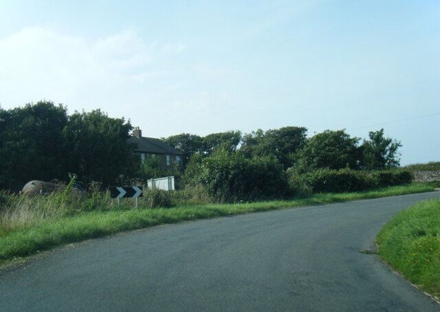
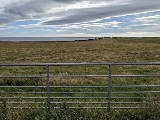
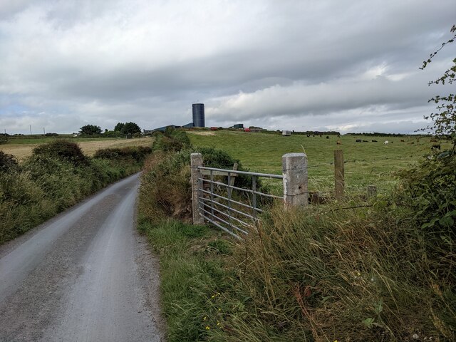
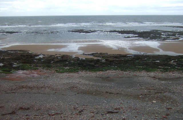
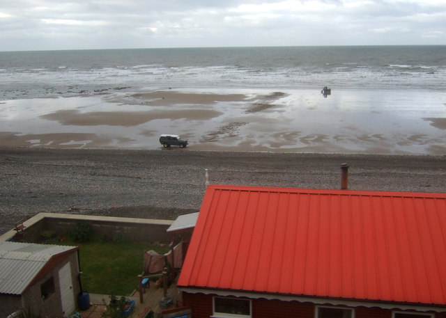
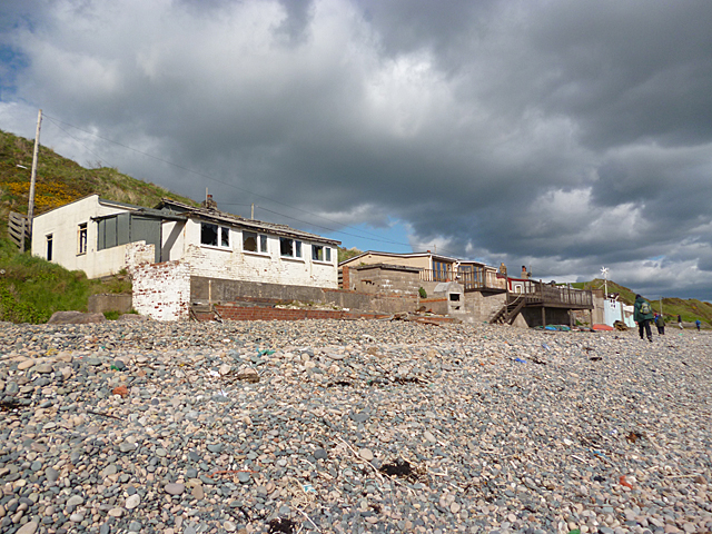
Situated on the western coast of Cumberland, Brig Stones is characterized by its rugged cliffs and rocky terrain. The headland stretches out into the Irish Sea, creating a natural barrier between the land and the water. The cliffs, made up of sedimentary rock, have been eroded over centuries by the powerful waves, resulting in dramatic formations and jagged edges that make Brig Stones a popular destination for nature enthusiasts and hikers.

The headland is also home to a diverse range of flora and fauna. The grassy slopes on top of the cliffs provide a habitat for various plant species, while seabirds nest in the crevices and ledges of the rock face. Visitors to Brig Stones may have the opportunity to spot species such as puffins, gulls, and cormorants.

Due to its geographical position, Brig Stones offers breathtaking panoramic views of the coastline and the vast expanse of the Irish Sea. On clear days, visitors can see the distant mountains of the Scottish mainland in the north, while to the south, the view extends to the Isle of Man.

In conclusion, Brig Stones is a captivating coastal feature located in Cumberland, England. With its rugged cliffs, diverse wildlife, and stunning vistas, it is a must-visit destination for those exploring the region's natural beauty.

If you have any feedback on the listing, please let us know in the comments section below.

Brig Stones Images

Images are sourced within 2km of 54.458351/-3.5689815 or Grid Reference NX9808. Thanks to Geograph Open Source API. All images are credited.

B5345 at Snellings Farm
B5345 at Whitecroft House
A field next to the Nethertown road
A coastal field near Coneyside Farm The name of the farm is shown as Coneyside House on the 1:50k map.
A coastal field near Coneyside Farm
The name of the farm is shown as Coneyside House on the 1:50k map.
Looking along Well Lane towards Coulderton
Houses in Coulderton
The junction with Well Lane
The lane to Coulderton The farm silo tower is a prominent local landmark.
The lane to Coulderton
The farm silo tower is a prominent local landmark.
Flower barrel and information sign in Middletown
The house on the bend, near Middletown
Cumbrian coast holiday home near Coulderton
Brig Stones Cumbrian coast near Coulderton.
Brig Stones
Cumbrian coast near Coulderton.
Foreshore, Nethertown
Rocky foreshore near Nethertown
Beach south of Nethertown View over a coastal holiday home.
Beach south of Nethertown
View over a coastal holiday home.
Farm buildings at Gill House The farm buildings are seen across a field with an unknown crop, (or the remains of it), from a sharp bend of the  B5345 south-west of Egremont.
Farm buildings at Gill House
The farm buildings are seen across a field with an unknown crop, (or the remains of it), from a sharp bend of the B5345 south-west of Egremont.
Ellerbeck Manor A B&B at Gill which appears to be for sale.
Ellerbeck Manor
A B&B at Gill which appears to be for sale.
Sharp bend on the B5345 To the left, the road heads for Egremont.
Sharp bend on the B5345
To the left, the road heads for Egremont.
Show me another place!

Brig Stones is located at Grid Ref: NX9808 (Lat: 54.458351, Lng: -3.5689815)

Administrative County: Cumbria

District: Copeland

Police Authority: Cumbria

What 3 Words

///finds.confining.bloom. Near Egremont, Cumbria

Nearby Locations

Coulderton Brig Stones

Related Wikis

Nearby Amenities

Located within 500m of 54.458351,-3.5689815
Created By: almien_coastlines
Source: PGS
Lat/Long: 54.461654/-3.5730541
Created By: almien_coastlines
Source: PGS
Lat/Long: 54.4607802/-3.57149
Created By: almien_coastlines
Source: PGS
Lat/Long: 54.459861/-3.5701047
Created By: almien_coastlines
Source: PGS
Lat/Long: 54.4592355/-3.5691328
Source: PGS
Lat/Long: 54.458826/-3.5686242
Created By: almien_coastlines
Source: PGS
Lat/Long: 54.4584164/-3.5682397
Created By: almien_coastlines
Source: PGS
Lat/Long: 54.4579136/-3.5678351
Created By: almien_coastlines
Source: PGS
Lat/Long: 54.4574262/-3.5674749
Created By: almien_coastlines
Source: PGS
Lat/Long: 54.4568385/-3.5668483
Created By: almien_coastlines
Source: PGS
Lat/Long: 54.4563494/-3.5662661
Created By: almien_coastlines
Source: PGS
Lat/Long: 54.4559311/-3.5657524
Created By: almien_coastlines
Source: PGS
Lat/Long: 54.4551667/-3.5647585
Nethertown
Naptan AtcoCode: 9100NETHRTN
Network: National Rail
Network Website: https://www.nationalrail.co.uk/stations/nrt/
Network Wikidata: Q26334
Operator: Northern Rail
Operator Website: https://www.northernrailway.co.uk/stations/nethertown
Operator Wikidata: Q85789775
Public Transport: stop_position
Railway: station
Ref Crs: NRT
Request Stop: yes
Source: npe
Train: yes
Wikidata: Q1901274
Wikipedia: en:Nethertown railway station
Lat/Long: 54.4562273/-3.5656239
Railway: level_crossing
Lat/Long: 54.4563802/-3.5657722
Barrier: swing_gate
Lat/Long: 54.4571422/-3.566121
Barrier: swing_gate
Lat/Long: 54.4581204/-3.5666517
Barrier: swing_gate
Lat/Long: 54.458729/-3.5671947
Barrier: swing_gate
Lat/Long: 54.4596547/-3.5682376
Barrier: swing_gate
Lat/Long: 54.4609701/-3.5695066
The data included in this document is from www.openstreetmap.org. The data is made available under ODbL.

Have you been to Brig Stones?

Leave your review of Brig Stones below (or comments, questions and feedback).