Blairburn

Settlement in Fife

Scotland

Blairburn

Culross Seen from Bo'ness, across the Forth.
Culross Credit: Richard Sutcliffe

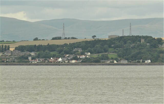
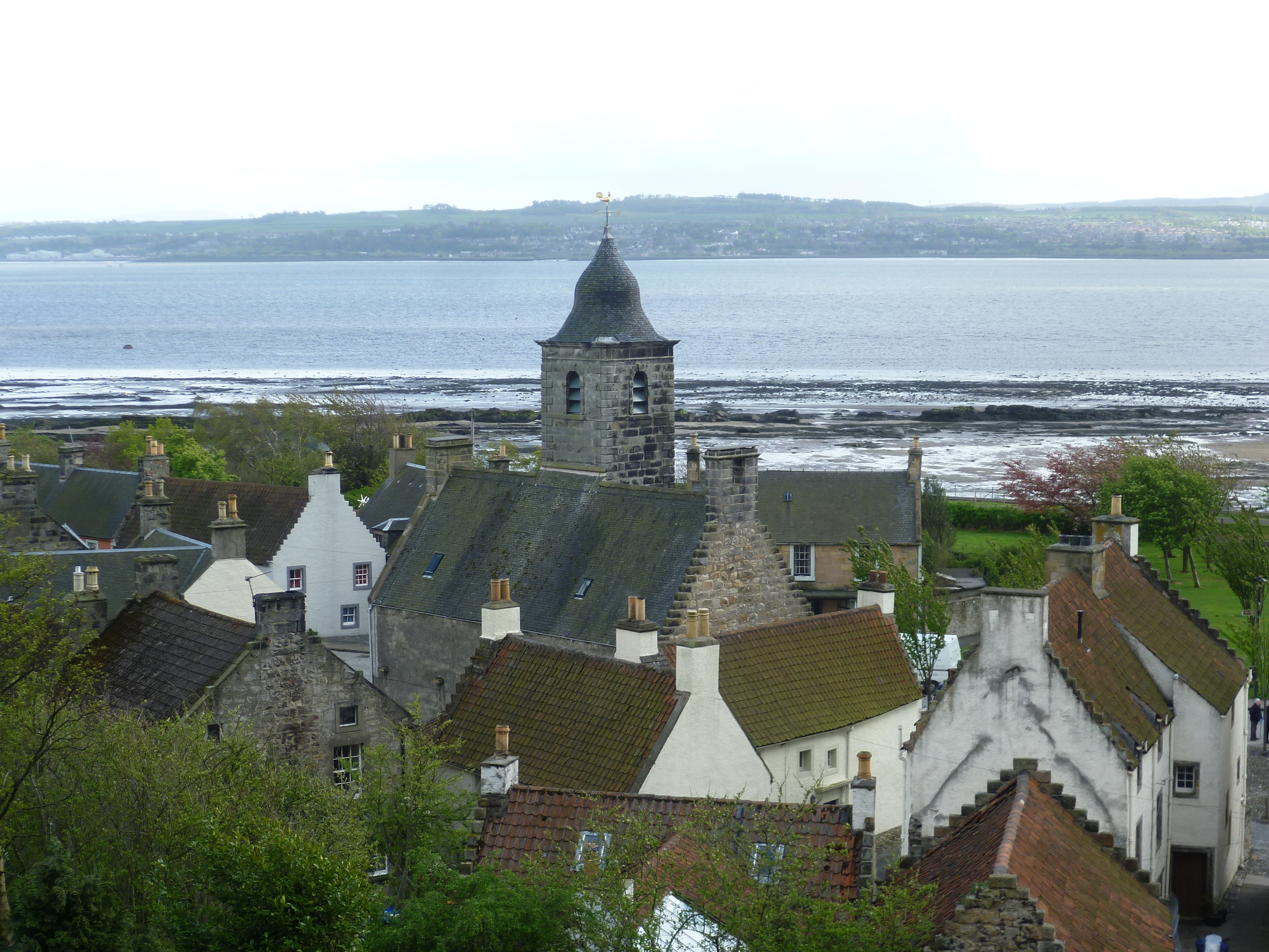
Blairburn is a small village located in the region of Fife, Scotland. Situated on the eastern coast of the country, it lies approximately 5 miles northwest of the town of Leven and 30 miles northeast of the capital city, Edinburgh. With a population of around 500 residents, it is a tight-knit community nestled within the picturesque landscape of Fife.

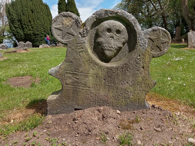
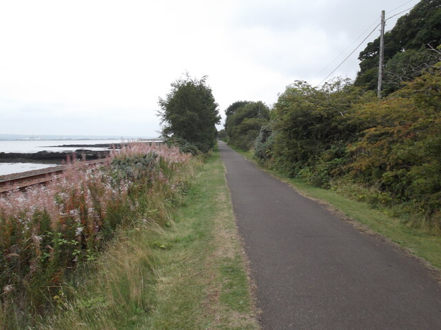
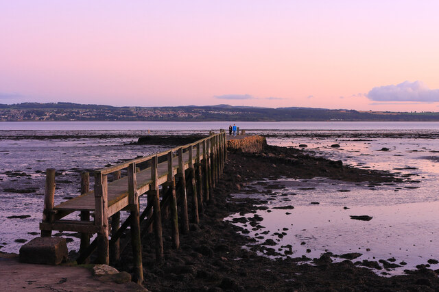
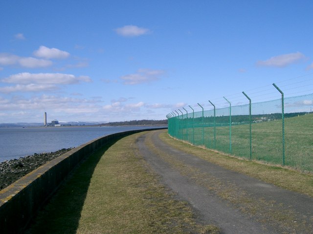
Blairburn is known for its historical significance, with evidence of human settlement in the area dating back to ancient times. The village is surrounded by lush green fields and rolling hills, making it a popular destination for nature lovers and outdoor enthusiasts. The nearby Largo Bay offers stunning views of the coastline, and the village is within close proximity to the renowned Fife Coastal Path, which attracts walkers and hikers from far and wide.

In terms of amenities, Blairburn has a few local shops and businesses that cater to the needs of its residents. There is also a primary school, providing education for the village's children. For further services and facilities, residents often travel to neighboring towns such as Leven or Kirkcaldy.

Blairburn is a tranquil and peaceful village, offering a sense of community and a slower pace of life. Its beautiful surroundings and friendly atmosphere make it an attractive place to live or visit, allowing visitors to experience the charm of rural Scotland.

If you have any feedback on the listing, please let us know in the comments section below.

Blairburn Images

Images are sourced within 2km of 56.046963/-3.6390617 or Grid Reference NS9885. Thanks to Geograph Open Source API. All images are credited.

Culross Seen from Bo'ness, across the Forth.
Culross
Seen from Bo'ness, across the Forth.
A Humourous Epitaph This is definitely the most eccentric gravestone I have come across so far. Why it has big stars for ears is the first question that comes to mind - it looks like a Snapchat filter ahead of time.
The epitaph took a bit of deciphering but I'm pretty sure the following is a fairly accurate transcription:
MY GLASS IS RVN
MY TYM IS SPENT
AND FOR MY SINS I SHOULD REPENT
It is almost unheard of to read anything so light-hearted on a gravestone and it is rather like the dead man is entering the afterlife - though it would seem unlikely he bought into religion too much on the basis of this - with a smile and a wink!
There is fresh earth around the stone. This usually signifies that the headstone had become unstable over time and has recently been righted. However it still sits at a jaunty angle. This guy's not just having the last laugh, he seems to be having all the laughs!
A Humourous Epitaph
This is definitely the most eccentric gravestone I have come across so far. Why it has big stars for ears is the first question that comes to mind - it looks like a Snapchat filter ahead of time. The epitaph took a bit of deciphering but I'm pretty sure the following is a fairly accurate transcription: MY GLASS IS RVN MY TYM IS SPENT AND FOR MY SINS I SHOULD REPENT It is almost unheard of to read anything so light-hearted on a gravestone and it is rather like the dead man is entering the afterlife - though it would seem unlikely he bought into religion too much on the basis of this - with a smile and a wink! There is fresh earth around the stone. This usually signifies that the headstone had become unstable over time and has recently been righted. However it still sits at a jaunty angle. This guy's not just having the last laugh, he seems to be having all the laughs!
Ruins in Culross Abbey
The Moat Pier Used for the exportation of coal
The Moat Pier
Used for the exportation of coal
Fife Coastal Path west of Culross
Culross Old Pier A view of the Culross Old Pier at sunset which has been slowly reconstructed over the years and now extends out almost to its original length. The pier provides an excellent view point for bird watching at low tide and spectacular evening sunset views.
Culross Old Pier
A view of the Culross Old Pier at sunset which has been slowly reconstructed over the years and now extends out almost to its original length. The pier provides an excellent view point for bird watching at low tide and spectacular evening sunset views.
Culross National Trust Village: Palace This is situated in the very top of the square, in the centre. It was taken looking north, with the sea behind the photographer.
Culross National Trust Village: Palace
This is situated in the very top of the square, in the centre. It was taken looking north, with the sea behind the photographer.
Culross substation Even historic places need power, and this was a very tasteful way of meeting community needs without destroying the evident character of the cobble-stoned streets and historic buildings.
Culross substation
Even historic places need power, and this was a very tasteful way of meeting community needs without destroying the evident character of the cobble-stoned streets and historic buildings.
Culross Palace Courtyard
Culross old harbour Culross was a busy port in the 16th and 17th centuries trading coal and salt with the Netherlands, Belgium, Germany and Denmark. Over the centuries the pier has deteriorated and it is now in a ruinous state. The Culross Development Trust aims to conserve and restore the pier.
Culross old harbour
Culross was a busy port in the 16th and 17th centuries trading coal and salt with the Netherlands, Belgium, Germany and Denmark. Over the centuries the pier has deteriorated and it is now in a ruinous state. The Culross Development Trust aims to conserve and restore the pier.
Culross Abbey. The tower of Culross Abbey as seen looking up Kirk Street.
Culross Abbey.
The tower of Culross Abbey as seen looking up Kirk Street.
Firth of Forth. Looking eastwards from Culross this  picture shows Valleyfield ash lagoons, a naval ship tied up at Crombie Pier, and The Forth Bridges.
Firth of Forth.
Looking eastwards from Culross this picture shows Valleyfield ash lagoons, a naval ship tied up at Crombie Pier, and The Forth Bridges.
Oil Refinery. Grangemouth Oil Refinery taken from Culross on the opposite side of The Forth.
Oil Refinery.
Grangemouth Oil Refinery taken from Culross on the opposite side of The Forth.
Culross, Town House A mediaeval village (pronounced COO-russ, with the stress on the first syllable and an indistinct vowel in the second - a monument of 1642 <a href="https://www.geograph.org.uk/photo/2949851">NS9886 : Sir George Bruce Monument, Culross Abbey</a> uses the spelling "The Cooras") with many houses renovated by the National Trust for Scotland. Red pantiles are common along the Fife coast.
Culross, Town House
A mediaeval village (pronounced COO-russ, with the stress on the first syllable and an indistinct vowel in the second - a monument of 1642 NS9886 : Sir George Bruce Monument, Culross Abbey uses the spelling "The Cooras") with many houses renovated by the National Trust for Scotland. Red pantiles are common along the Fife coast.
Mercat Cross and The Study, Culross Culross (pronounced COO-russ) has benefited from the National Trust for Scotland's renovation work.
Mercat Cross and The Study, Culross
Culross (pronounced COO-russ) has benefited from the National Trust for Scotland's renovation work.
Culross View NW from reclaimed land that is Valleyfield Ash Lagoons. The church tower is Culross Abbey.
Culross
View NW from reclaimed land that is Valleyfield Ash Lagoons. The church tower is Culross Abbey.
Reclaimed Land This is the only piece of land in this square. A view west to Longannet Power Station.
Reclaimed Land
This is the only piece of land in this square. A view west to Longannet Power Station.
Road Junction Where Culross and Low Valleyfield meet.
Road Junction
Where Culross and Low Valleyfield meet.
Show me another place!

Blairburn is located at Grid Ref: NS9885 (Lat: 56.046963, Lng: -3.6390617)

Unitary Authority: Fife

Police Authority: Fife

What 3 Words

///flip.monitors.retrieves. Near High Valleyfield, Fife

Related Wikis

Dunimarle Castle

Dunimarle Castle is located 1 km west of the centre of the village of Culross in Fife, Scotland. The name 'Dunimarle' means 'castle by the sea', although...

Culross Town House

Culross Town House, also known as Culross Tolbooth, is a municipal structure in the Sandhaven area of Culross, Fife, Scotland. The building, which now...

Culross Palace

Culross Palace is a late 16th to early 17th century merchant's house in Culross, Fife, Scotland. The palace, or "Great Lodging", was constructed between...

Culross

Culross (/ˈkurəs/) (Scottish Gaelic: Cuileann Ros, 'holly point or promontory') is a village and former royal burgh, and parish, in Fife, Scotland. According...

Culross mercat cross

Culross mercat cross is located in Culross, Fife, Scotland. Now Category A listed, its base dates to the original 16th-century mercat cross. Its shaft...

Crail market cross

Crail market cross is located in Crail, Fife, Scotland. Erected in the early 17th century and now Category B listed, it is a mercat cross with a square...

Culross Abbey

Culross Abbey is a former Cistercian abbey in Culross, Scotland, headed by the Abbot or Commendator of Culross. Part of it is still used as the local parish...

Culross railway station

Culross railway station served the village of Culross, Fife, Scotland from 1906 to 1992 on the Kincardine Line. == History == The station opened on 2 July...

Nearby Amenities

Located within 500m of 56.046963,-3.6390617
The Moat
Description: 17th Century Coal Shaft
Historic: mine_shaft
Lat/Long: 56.0508376/-3.6384904
The data included in this document is from www.openstreetmap.org. The data is made available under ODbL.

Have you been to Blairburn?

Leave your review of Blairburn below (or comments, questions and feedback).