Blairdardie
Settlement in Dunbartonshire
Scotland
Blairdardie
Blairdardie is a residential area located in the region of Dunbartonshire, Scotland. It is situated approximately 5 miles northwest of Glasgow city center, making it a popular choice for commuters. The area is bordered by other residential neighborhoods such as Knightswood and Drumchapel.
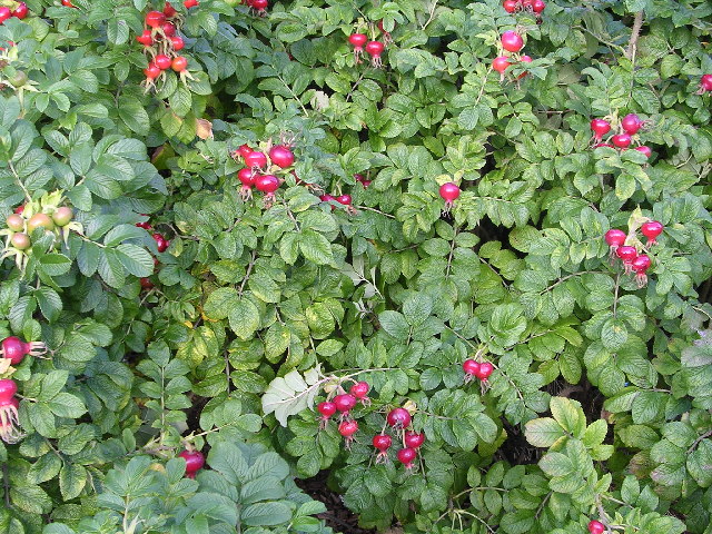
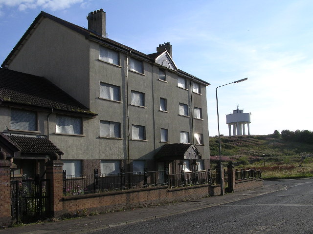
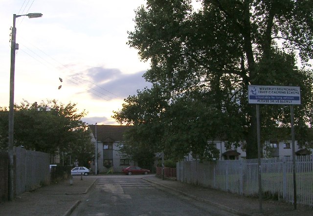
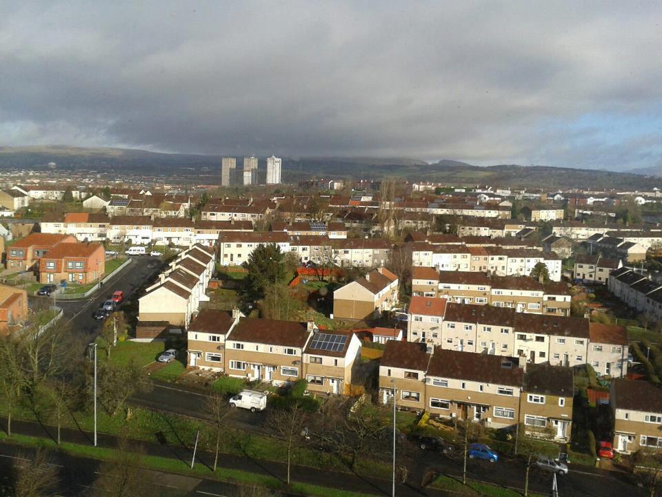
Blairdardie primarily consists of post-World War II housing developments, with a mix of private and social housing. The architecture predominantly consists of semi-detached and terraced houses, providing a variety of accommodation options for residents. The area is known for its green spaces and well-maintained parks, offering recreational opportunities for families and individuals.
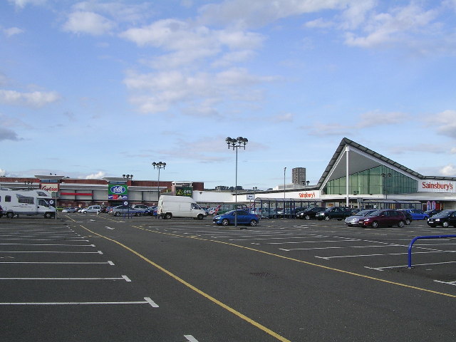
The community of Blairdardie benefits from a range of local amenities, including a small shopping center that caters to daily needs. Nearby, the Great Western Retail Park provides a wider selection of shops, restaurants, and entertainment venues, enhancing the area's appeal.
Transportation is convenient in Blairdardie, with several bus routes connecting the area to Glasgow city center and surrounding neighborhoods. For those who prefer to drive, the M8 motorway is easily accessible, providing quick access to other parts of Scotland.
Blairdardie is also home to several educational institutions, including primary and secondary schools, ensuring that families have access to quality education for their children.
Overall, Blairdardie offers a peaceful residential environment with good transport links, local amenities, and green spaces, making it an attractive place to live for individuals and families looking for a suburban setting within easy reach of Glasgow.
If you have any feedback on the listing, please let us know in the comments section below.
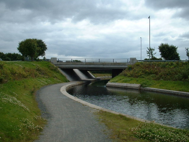
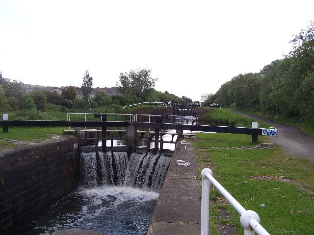
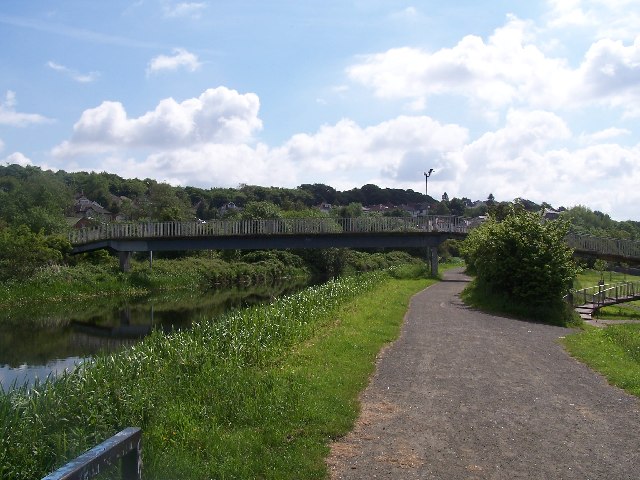
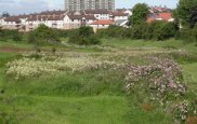
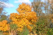
Blairdardie Images
Images are sourced within 2km of 55.900933/-4.3560519 or Grid Reference NS5270. Thanks to Geograph Open Source API. All images are credited.


Blairdardie is located at Grid Ref: NS5270 (Lat: 55.900933, Lng: -4.3560519)
Unitary Authority: City of Glasgow
Police Authority: Greater Glasgow
What 3 Words
///chimp.eager.scare. Near Bearsden, East Dunbartonshire
Nearby Locations
Related Wikis
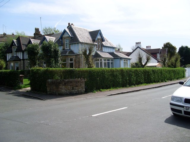
Blairdardie
Blairdardie is a neighbourhood in the Scottish city of Glasgow. It is situated north of the River Clyde in the north-west of the city and is surrounded...

Drumchapel
Drumchapel (Scottish Gaelic: Druim a' Chapaill), known locally as 'The Drum', is a district in the north-west of the city of Glasgow, Scotland. It borders...
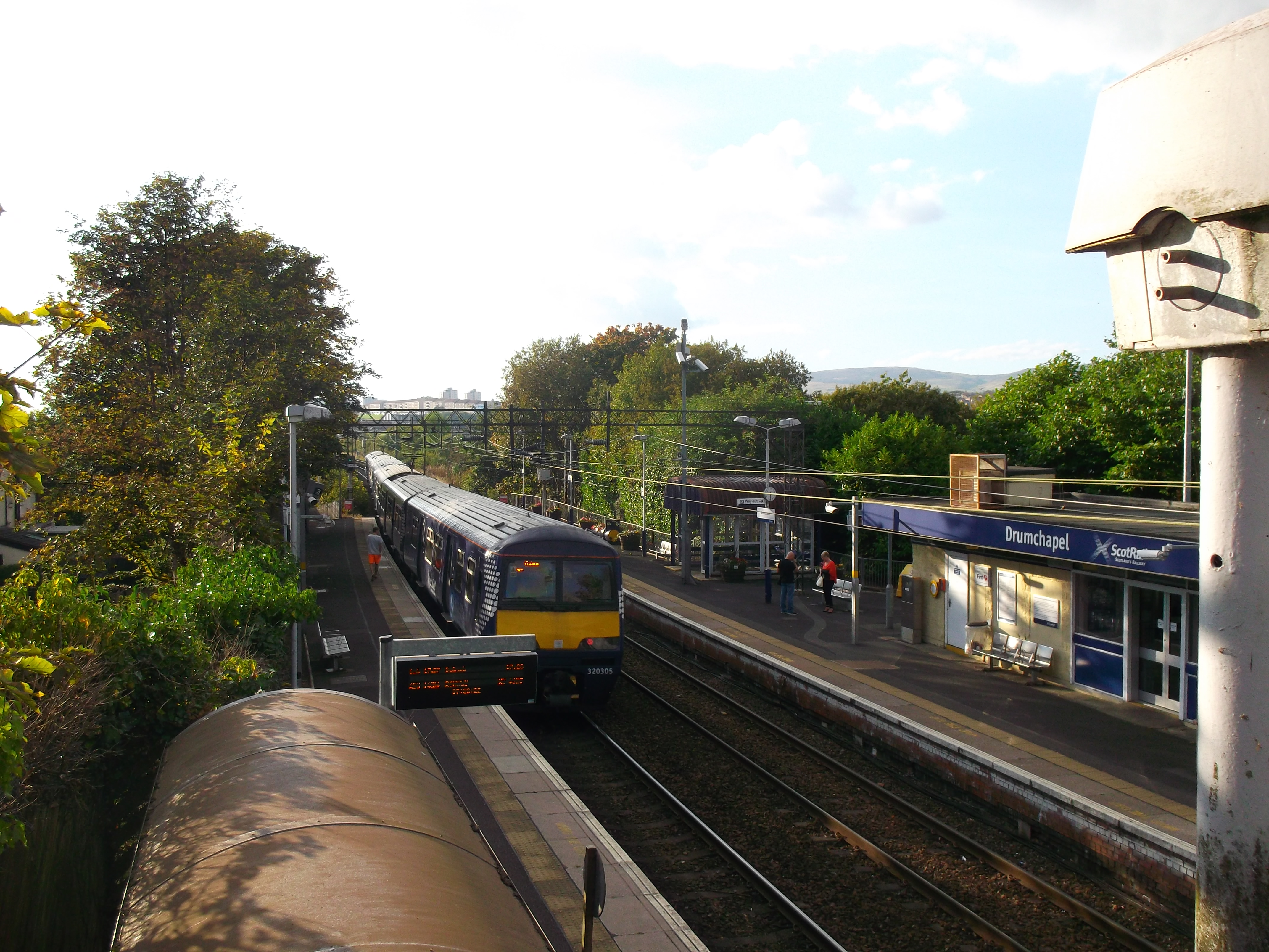
Drumchapel railway station
Drumchapel railway station serves the Drumchapel, Blairdardie and Old Drumchapel areas of Glasgow, Scotland. The station is managed by ScotRail and is...
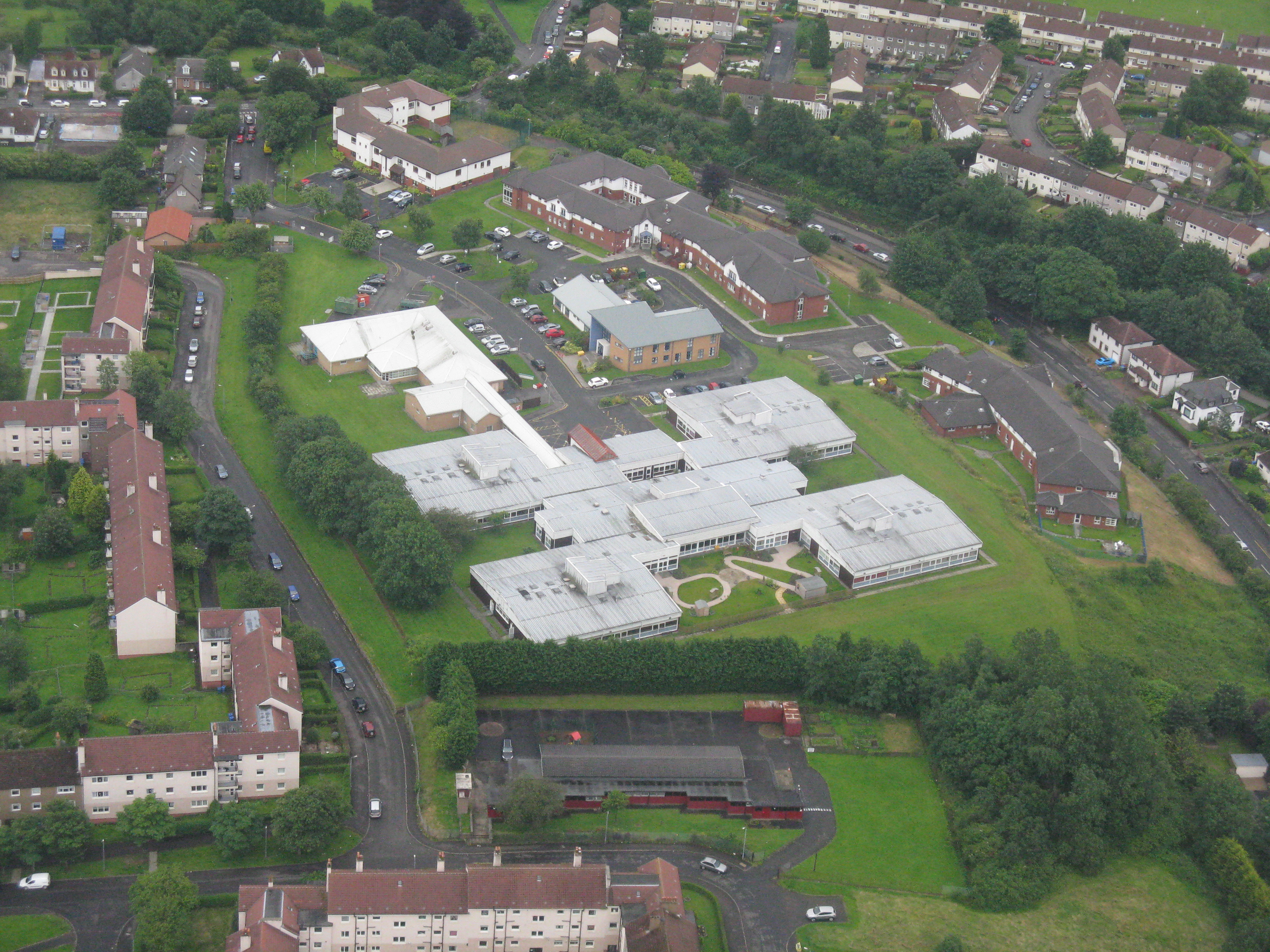
Drumchapel Hospital
Drumchapel Hospital was a health facility in Drumchapel Road, Glasgow, Scotland. It was managed by NHS Greater Glasgow and Clyde. == History == The facility...

Glasgow BMX Centre
The Glasgow BMX Centre is an outdoor BMX racing facility in Knightswood, Glasgow, Scotland. == Events == The first major event hosted at the centre was...
Old Drumchapel
Old Drumchapel is a neighbourhood of Glasgow, Scotland. It is located around Drumchapel railway station and formed part of the Cowdenhill and Garscadden...
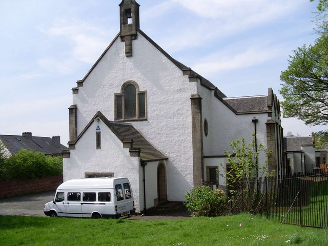
Drumchapel St Andrew's Church
Drumchapel St Andrew's Church is a 20th-century parish church of the Church of Scotland located in the Old Drumchapel area of Glasgow. The church is sometimes...
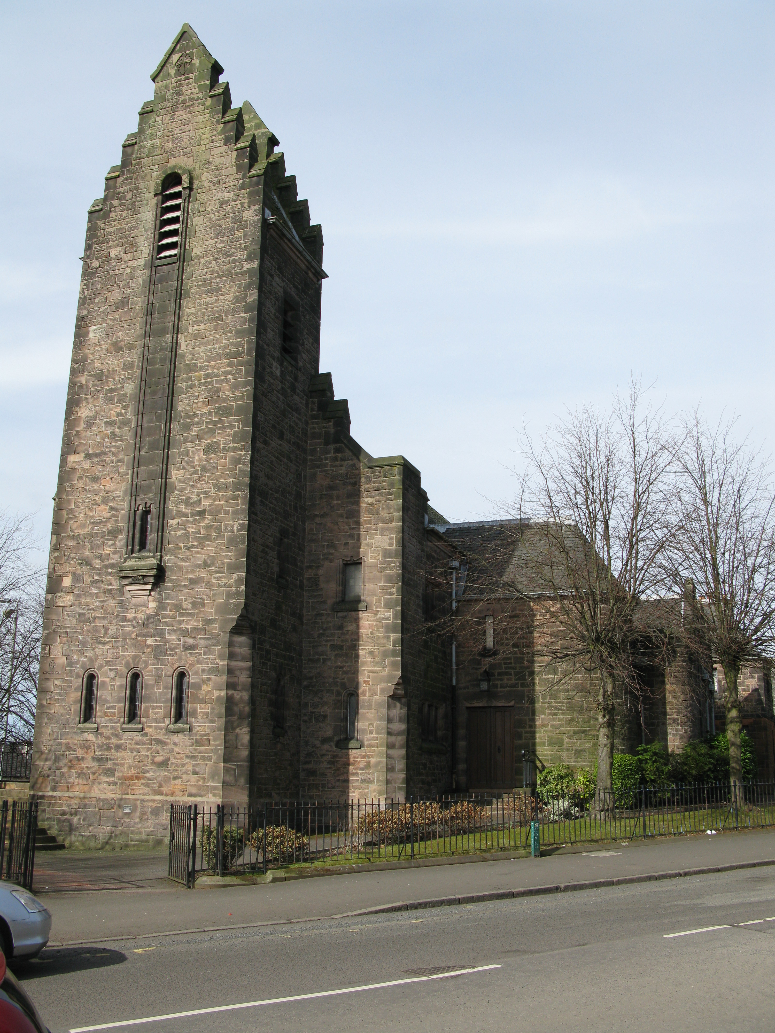
Knightswood St Margaret's Parish Church
Knightswood St. Margaret's Parish Church is a parish church of the Church of Scotland, serving part of the Knightswood area of Glasgow, Scotland. ��2...
Nearby Amenities
Located within 500m of 55.900933,-4.3560519Have you been to Blairdardie?
Leave your review of Blairdardie below (or comments, questions and feedback).