Smugglers' Hole
Coastal Feature, Headland, Point in Devon
England
Smugglers' Hole
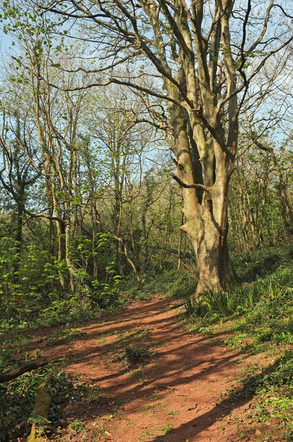
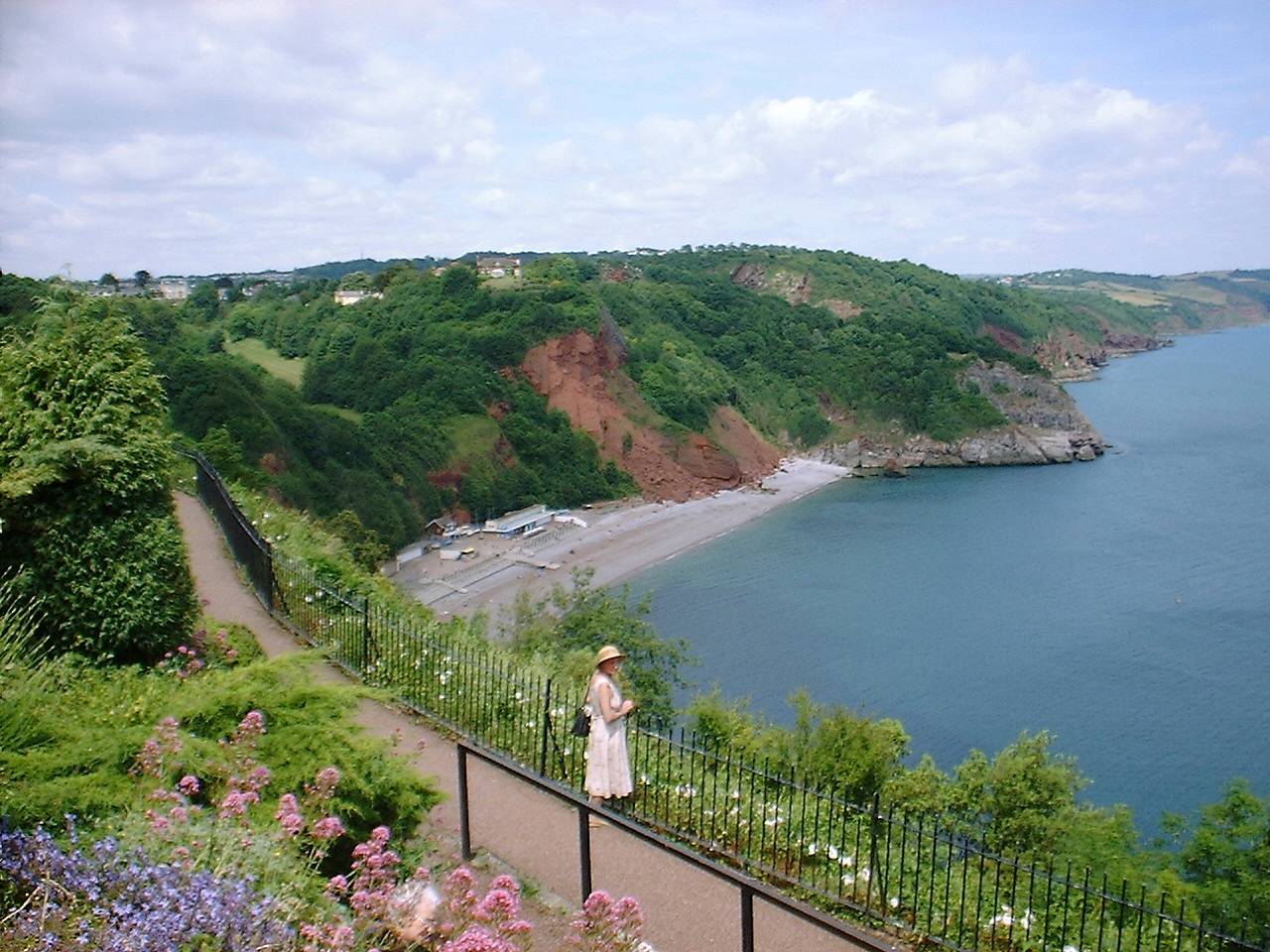
Smugglers' Hole is a prominent coastal feature located in Devon, England. Situated on the southern coast, this captivating headland is positioned between two beautiful sandy beaches, offering stunning views of the English Channel. The site is known for its historical significance as a popular spot for smuggling activities during the 18th and 19th centuries.
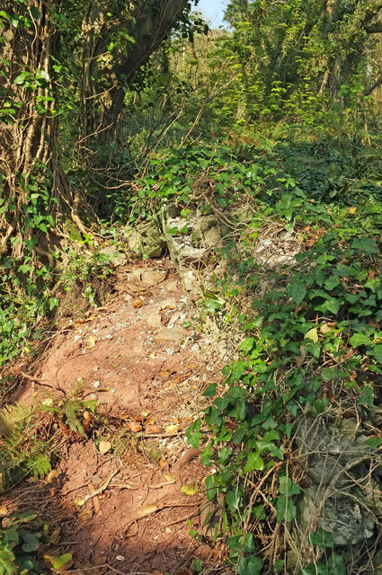
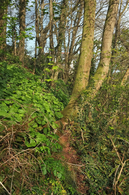
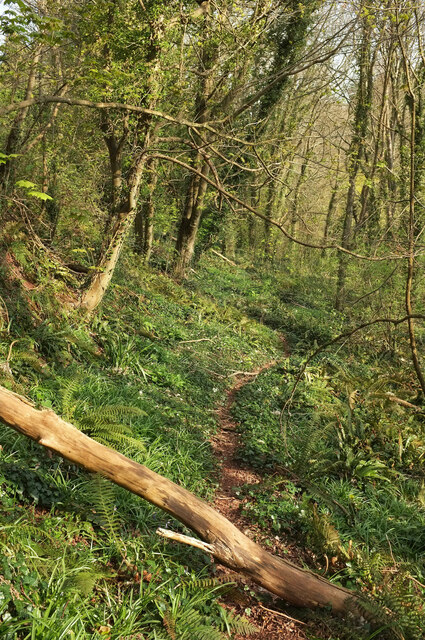
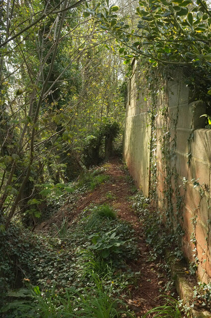
The headland itself is characterized by rugged cliffs, which provide a natural shelter for the illicit activities that took place in the past. Smugglers' Hole gained its name due to the hidden caves and tunnels that were used by smugglers to store contraband goods, such as tobacco, alcohol, and luxury items. These hidden passageways allowed smugglers to transport their goods discreetly, avoiding detection from authorities.
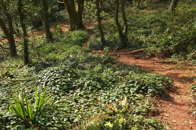
Today, the area is a popular destination for tourists and history enthusiasts. The headland offers breathtaking panoramic views of the surrounding coastline, with its sheer cliffs and dramatic rock formations. Visitors can explore the caves and tunnels that once served as secret hideouts for smugglers, providing a fascinating glimpse into the region's illicit past.
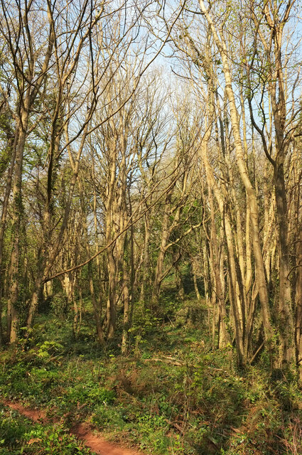
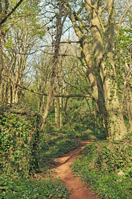
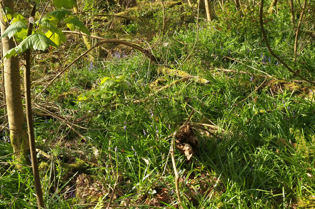
Additionally, Smugglers' Hole is an ideal location for nature lovers. The headland is home to a diverse range of flora and fauna, including various seabirds and plants that thrive in the coastal environment. The surrounding beaches also offer ample opportunities for beachcombing, sunbathing, and coastal walks.
In conclusion, Smugglers' Hole in Devon is a captivating coastal feature with a rich history. Its rugged cliffs, hidden caves, and stunning views make it a must-visit destination for both history enthusiasts and nature lovers alike.
If you have any feedback on the listing, please let us know in the comments section below.
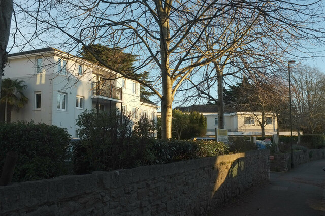
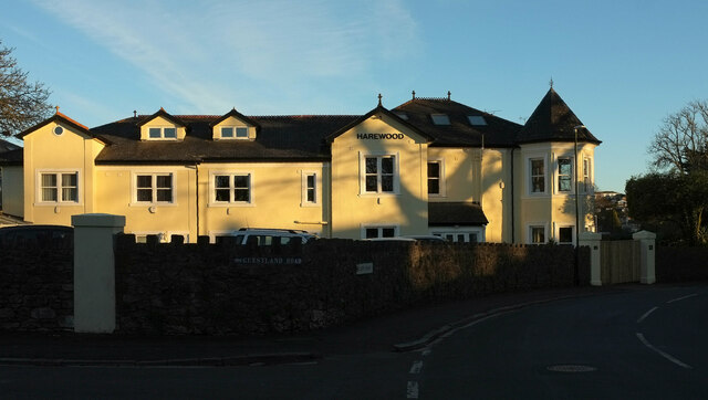
Smugglers' Hole Images
Images are sourced within 2km of 50.494431/-3.5134974 or Grid Reference SX9267. Thanks to Geograph Open Source API. All images are credited.


Smugglers' Hole is located at Grid Ref: SX9267 (Lat: 50.494431, Lng: -3.5134974)
Unitary Authority: Torbay
Police Authority: Devon and Cornwall
What 3 Words
///fans.help.lies. Near Torquay, Devon
Nearby Locations
Related Wikis

Brunel Manor
Brunel Manor, previously known as Watcombe Park, is a mansion on the outskirts of the seaside resort of Torquay, Devon, England. == Ownership history... ==

Combe Pafford
Combe Pafford is a village in Torbay in the English county of Devon. == References ==
Oddicombe Beach
Oddicombe Beach is a popular beach, noted for its interesting breccia cliffs, below the Babbacombe district of Torbay, Devon in England. The beach includes...
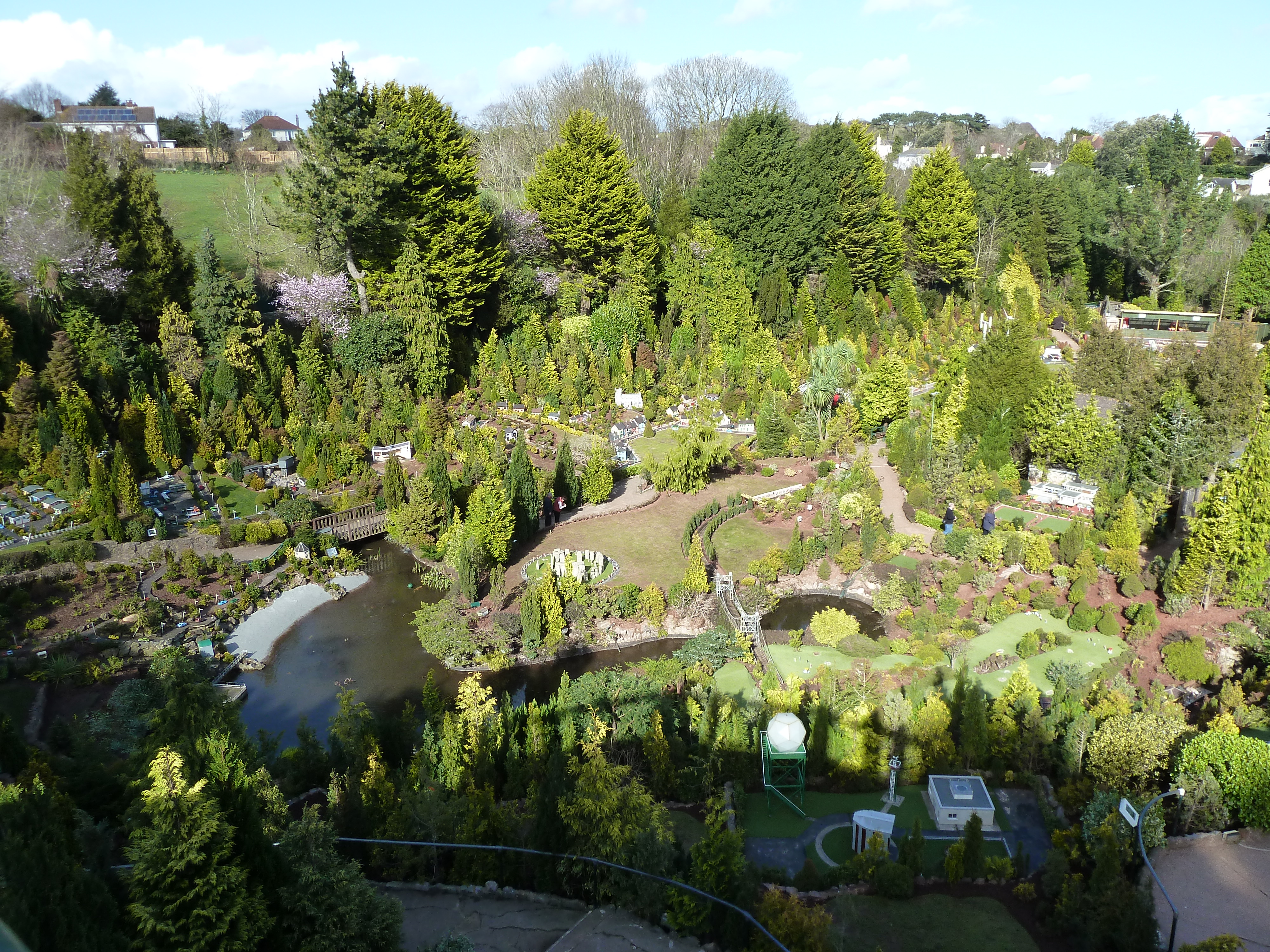
Babbacombe Model Village
Babbacombe Model Village is a miniature village and railway located in Babbacombe in Torquay, Devon. The model village was opened in 1963 by Tom & Ruth...
Nearby Amenities
Located within 500m of 50.494431,-3.5134974Have you been to Smugglers' Hole?
Leave your review of Smugglers' Hole below (or comments, questions and feedback).