Bell Rock
Island in Devon
England
Bell Rock

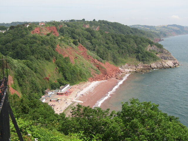
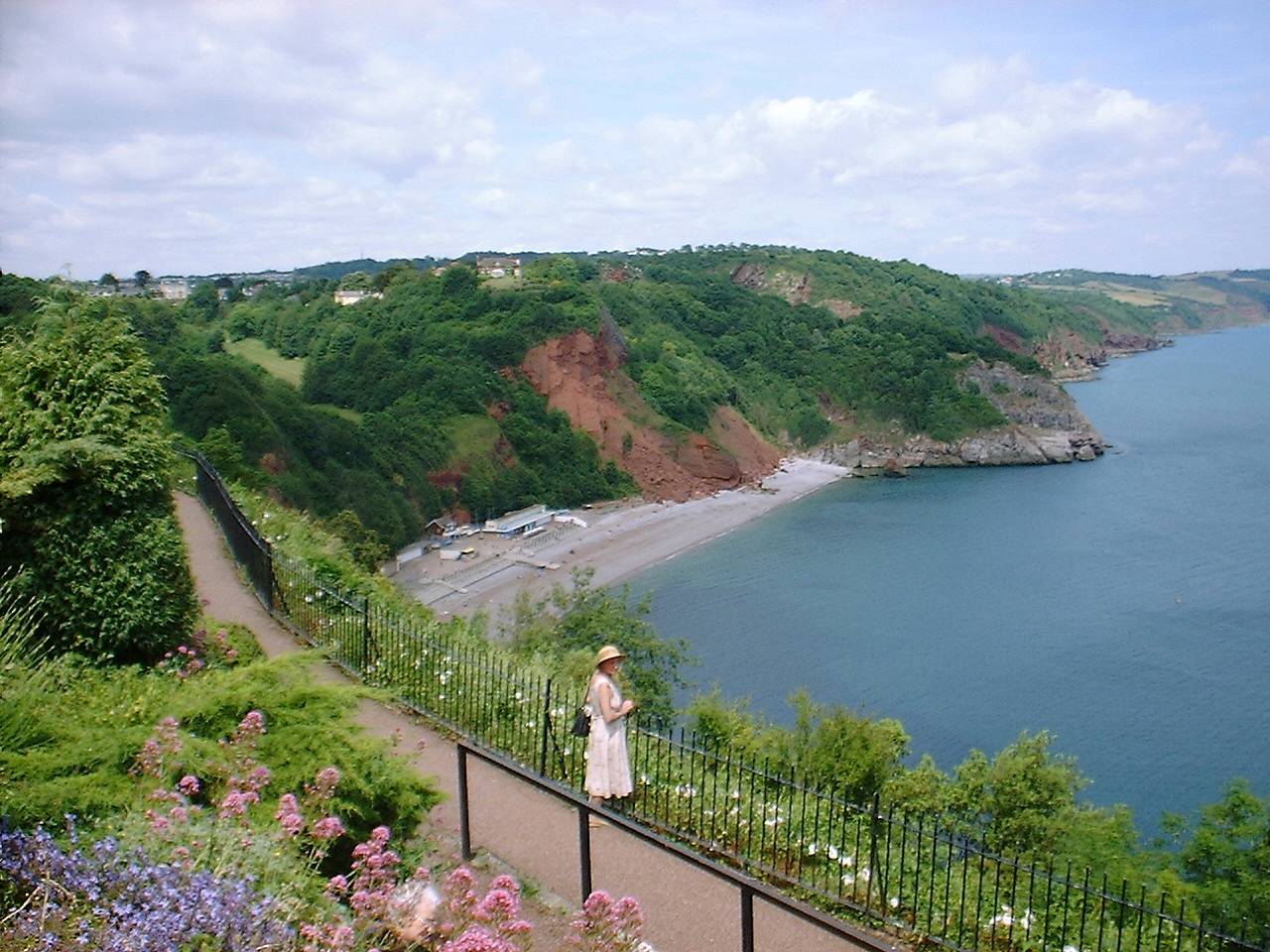
Bell Rock is a small island located off the coast of Devon, England. It is situated in the county of Devon, in the English Channel. The island is approximately 0.6 miles in length and 0.4 miles in width, with a total area of around 0.2 square miles. It is primarily composed of rugged granite cliffs, which rise to a height of about 100 feet above sea level.
Bell Rock is known for its diverse and abundant wildlife population. The island provides a natural habitat for various species of birds, including gulls, cormorants, and puffins. The surrounding waters are home to a variety of marine life, including seals, dolphins, and small fish.
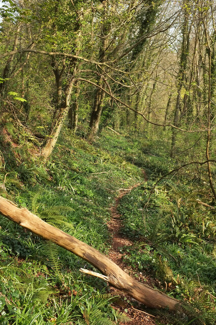
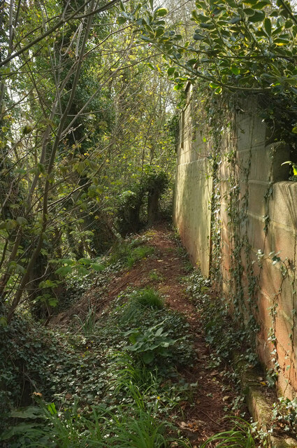
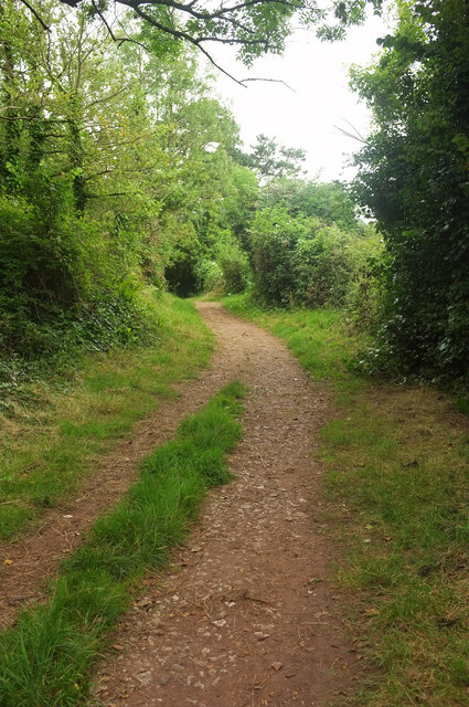
The island is uninhabited and is mainly visited by tourists and nature enthusiasts. It offers breathtaking views of the surrounding coastline and is a popular spot for hiking, birdwatching, and photography. Access to the island is only possible by boat, with regular scheduled boat trips available from the nearby town of Dartmouth.
Despite its small size, Bell Rock has a rich history. It is believed to have been used as a lookout point during the Napoleonic era, and remnants of an old watchtower can still be seen on the island. The island's name is derived from the bell-shaped rock formations that can be found along its coastline.
Overall, Bell Rock is a picturesque and tranquil island, offering visitors a chance to immerse themselves in nature and explore its unique geological features.
If you have any feedback on the listing, please let us know in the comments section below.
Bell Rock Images
Images are sourced within 2km of 50.500562/-3.5123397 or Grid Reference SX9267. Thanks to Geograph Open Source API. All images are credited.


Bell Rock is located at Grid Ref: SX9267 (Lat: 50.500562, Lng: -3.5123397)
Unitary Authority: Torbay
Police Authority: Devon and Cornwall
What 3 Words
///birdcage.weddings.victor. Near Torquay, Devon
Nearby Locations
Related Wikis

Brunel Manor
Brunel Manor, previously known as Watcombe Park, is a mansion on the outskirts of the seaside resort of Torquay, Devon, England. == Ownership history... ==

Combe Pafford
Combe Pafford is a village in Torbay in the English county of Devon. == References ==
Oddicombe Beach
Oddicombe Beach is a popular beach, noted for its interesting breccia cliffs, below the Babbacombe district of Torbay, Devon in England. The beach includes...
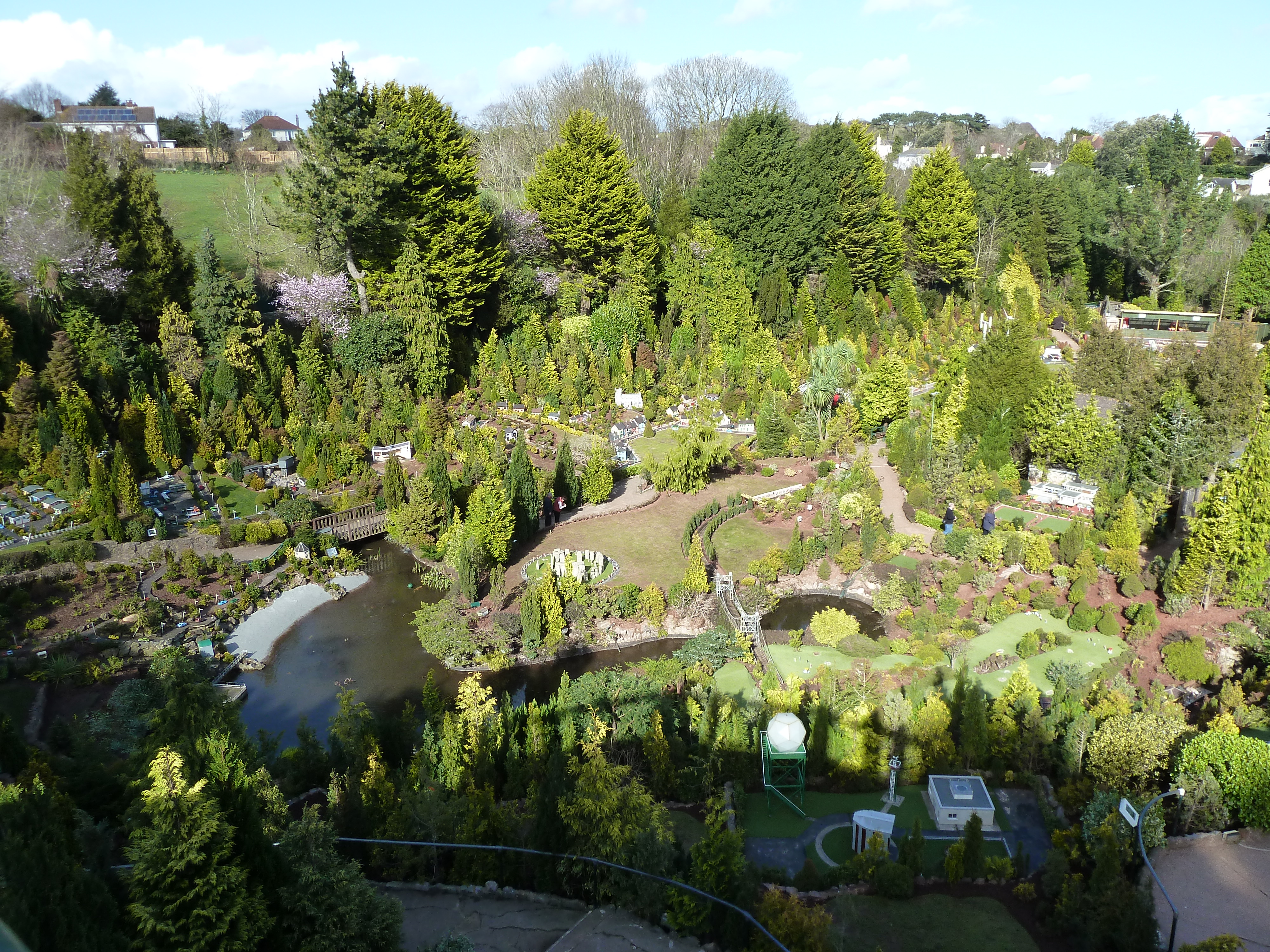
Babbacombe Model Village
Babbacombe Model Village is a miniature village and railway located in Babbacombe in Torquay, Devon. The model village was opened in 1963 by Tom & Ruth...
Nearby Amenities
Located within 500m of 50.500562,-3.5123397Have you been to Bell Rock?
Leave your review of Bell Rock below (or comments, questions and feedback).