Valley of Rocks
Valley in Devon
England
Valley of Rocks
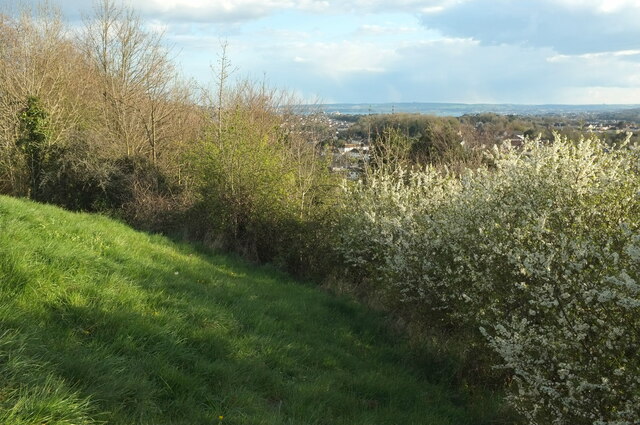
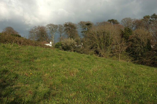
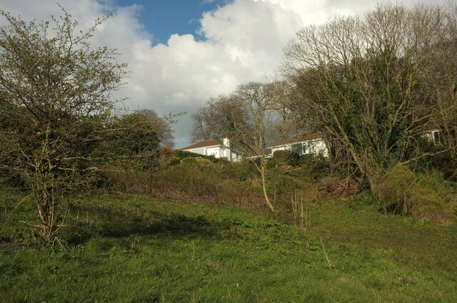
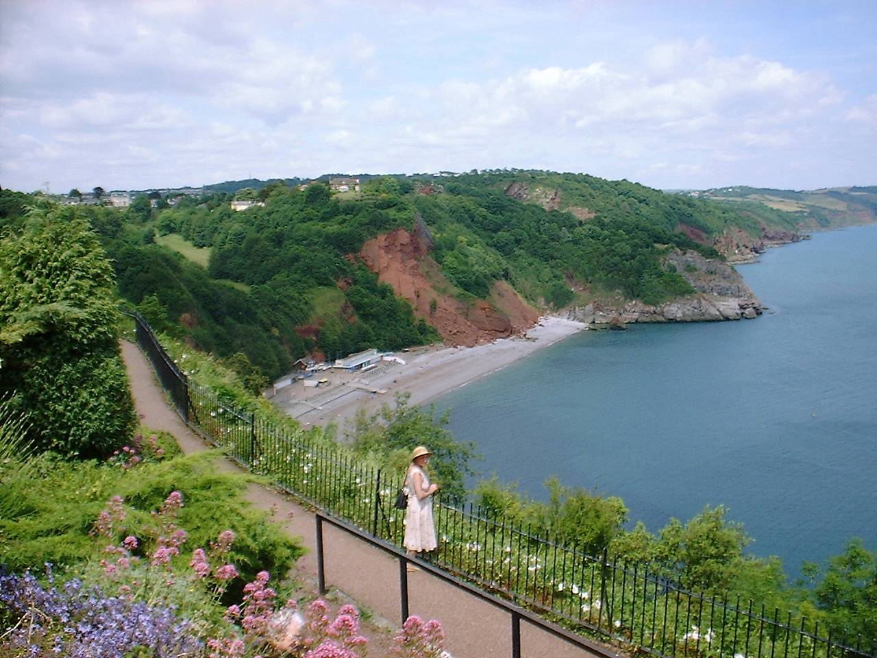
The Valley of Rocks is a unique geological formation located in North Devon, England. Nestled between the coastal towns of Lynton and Lynmouth, this valley is renowned for its stunning natural beauty and interesting rock formations.
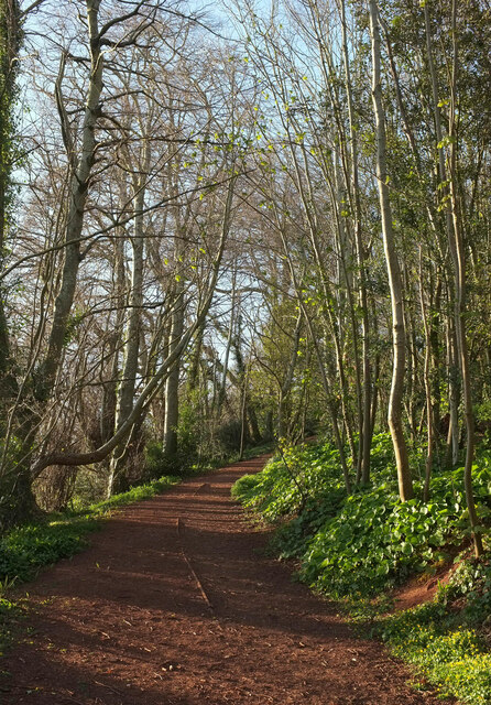
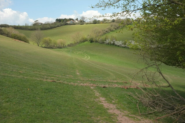
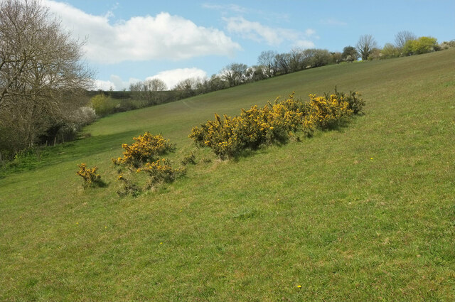
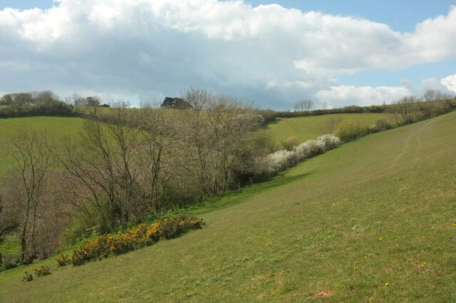
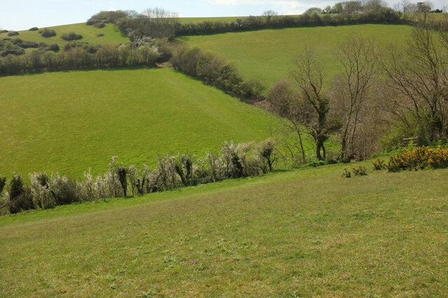
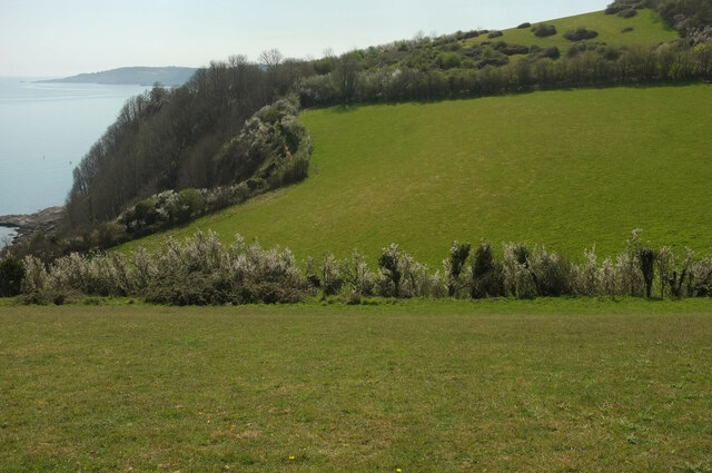
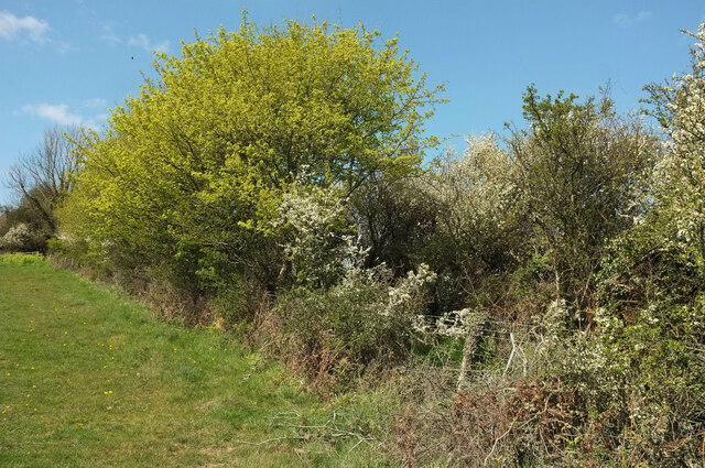
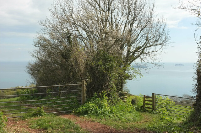
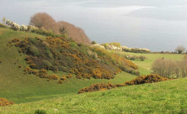
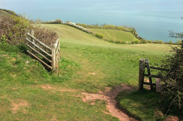
The valley is characterized by its jagged cliffs made of weathered limestone and shale. These cliffs rise dramatically from the surrounding landscape, reaching heights of up to 100 meters. The rocky terrain is dotted with numerous rock formations, some of which resemble animals, giving the valley an almost otherworldly appearance.
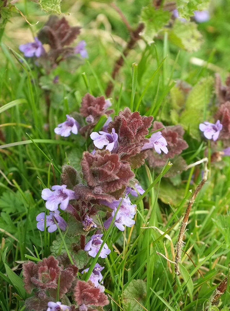
The Valley of Rocks is also home to a diverse range of flora and fauna. The area is known for its rare species of wildflowers, including the Bloody Cranesbill, which can only be found in a few places in the UK. The valley is also home to a population of feral goats, which can often be spotted climbing the cliffs and grazing on the vegetation.
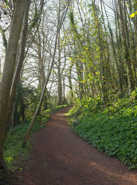
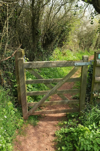
The valley is a popular destination for hikers and nature enthusiasts. There are several walking trails that wind their way through the valley, offering breathtaking views of the surrounding countryside and the Bristol Channel. The South West Coast Path, a long-distance trail that spans the entire South West coast of England, also passes through the valley, attracting many avid walkers.
Overall, the Valley of Rocks is a must-visit destination for those seeking natural beauty and tranquility. Its unique rock formations, diverse wildlife, and stunning views make it a truly remarkable place to explore.
If you have any feedback on the listing, please let us know in the comments section below.
Valley of Rocks Images
Images are sourced within 2km of 50.497984/-3.5168963 or Grid Reference SX9267. Thanks to Geograph Open Source API. All images are credited.
Valley of Rocks is located at Grid Ref: SX9267 (Lat: 50.497984, Lng: -3.5168963)
Unitary Authority: Torbay
Police Authority: Devon and Cornwall
What 3 Words
///hills.green.spill. Near Torquay, Devon
Nearby Locations
Related Wikis

Brunel Manor
Brunel Manor, previously known as Watcombe Park, is a mansion on the outskirts of the seaside resort of Torquay, Devon, England. == Ownership history... ==

Combe Pafford
Combe Pafford is a village in Torbay in the English county of Devon. == References ==
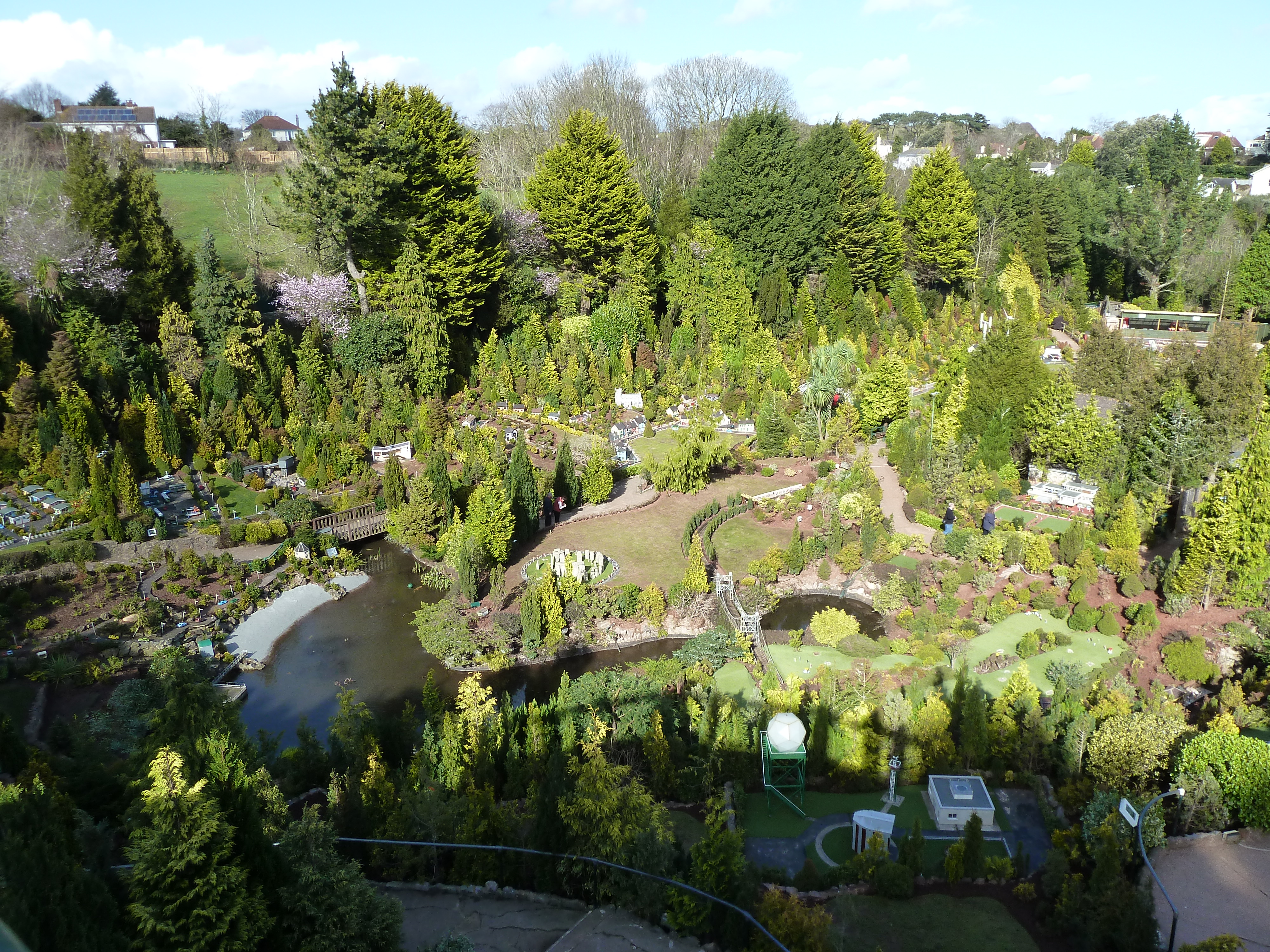
Babbacombe Model Village
Babbacombe Model Village is a miniature village and railway located in Babbacombe in Torquay, Devon. The model village was opened in 1963 by Tom & Ruth...
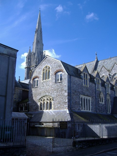
Our Lady Help of Christians and St Denis Church, Torquay
Our Lady Help of Christians and St Denis Church is a Roman Catholic parish church in St Marychurch, Torquay, Devon, England. It was built in 1869 and...
Oddicombe Beach
Oddicombe Beach is a popular beach, noted for its interesting breccia cliffs, below the Babbacombe district of Torbay, Devon in England. The beach includes...

Babbacombe Cliff Railway
Babbacombe Cliff Railway, also known as the Babbacombe Cliff Lift, is a funicular railway in the town of Torquay in the English county of Devon. It links...
St Cuthbert Mayne School
St Cuthbert Mayne School is a coeducational secondary school and sixth form located in Torquay in the English county of Devon. The school is named after...
St Marychurch
St Marychurch is an area of Torquay, in the Torbay district, in the ceremonial county of Devon, England. It is one of the oldest settlements in South Devon...
Nearby Amenities
Located within 500m of 50.497984,-3.5168963Have you been to Valley of Rocks?
Leave your review of Valley of Rocks below (or comments, questions and feedback).