Watcombe Head
Coastal Feature, Headland, Point in Devon
England
Watcombe Head
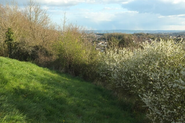
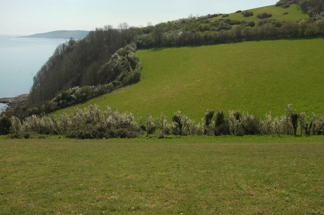
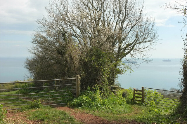
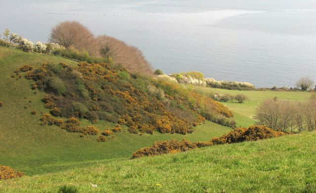
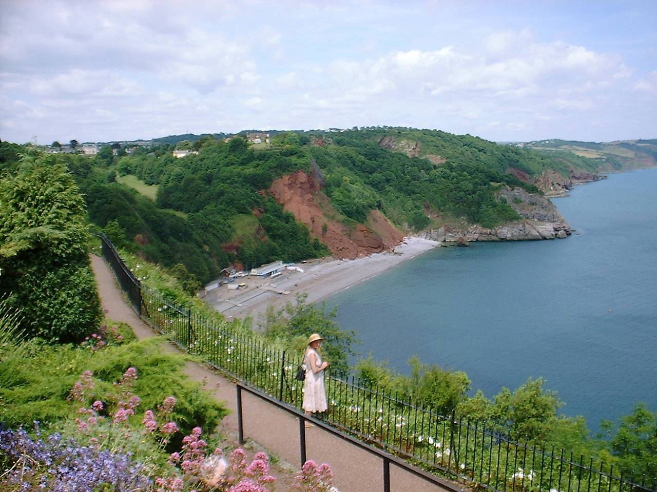
Watcombe Head is a prominent headland located on the southern coast of Devon, England. Situated near the town of Torquay, it forms part of the stunning coastline of the English Riviera. Standing tall at an elevation of around 100 meters, Watcombe Head offers breathtaking panoramic views of the surrounding area.
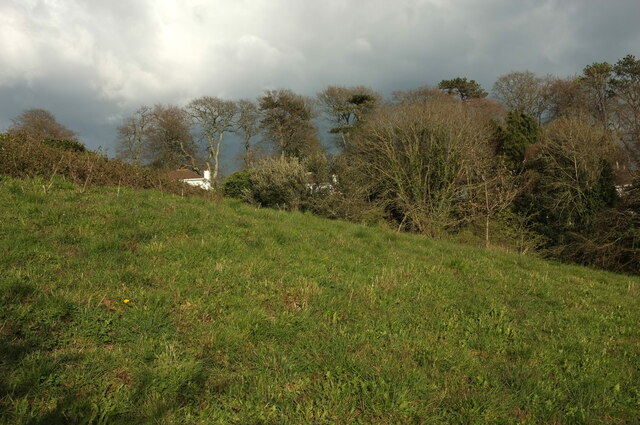
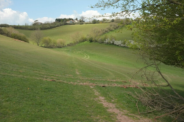
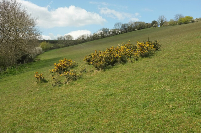
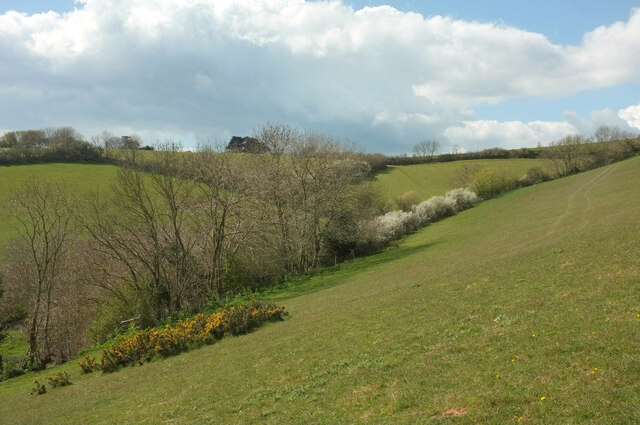
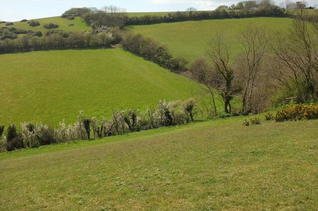
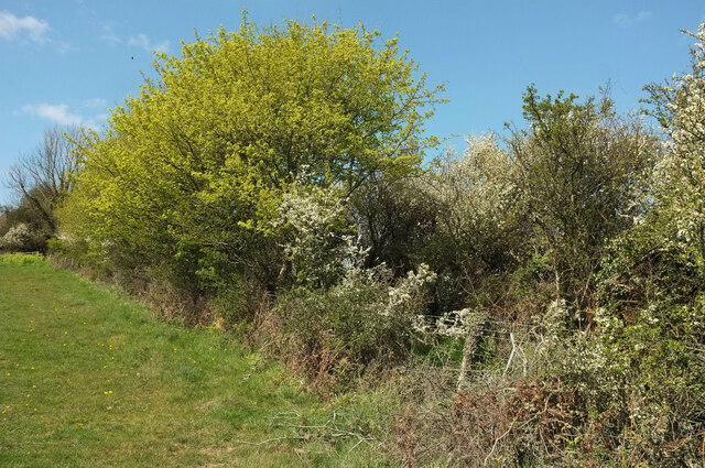
This headland is characterized by its rugged and rocky terrain, interspersed with patches of lush green vegetation. The cliffs that make up Watcombe Head are composed of various rock formations, including limestone and shale, which have been eroded over time by the relentless action of the sea. As a result, the headland displays fascinating geological features such as caves, arches, and stacks, adding to its allure.
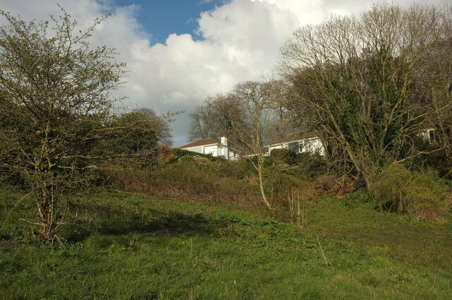
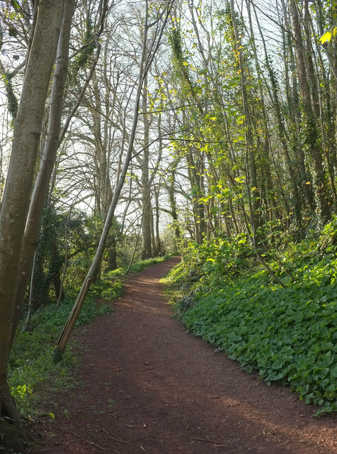
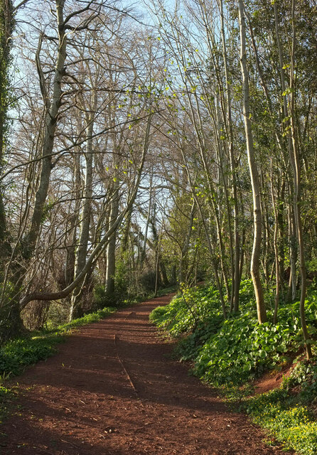
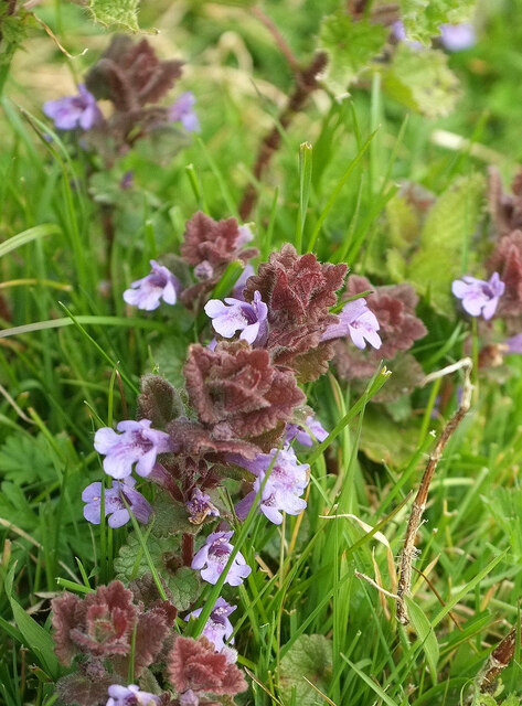
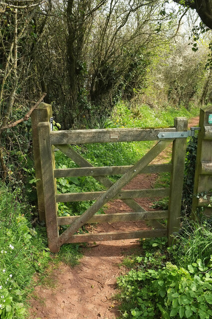
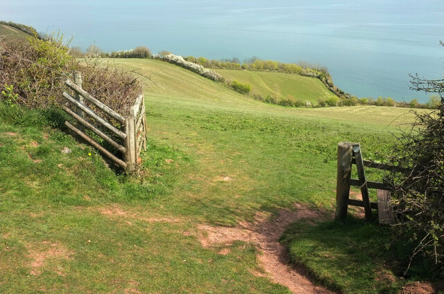
Watcombe Head is a popular destination for both locals and tourists alike, attracting visitors with its natural beauty and tranquil atmosphere. The area is ideal for leisurely walks and hikes, with several footpaths and trails offering access to the headland and its stunning vistas. Nature enthusiasts can also explore the diverse flora and fauna that inhabit the surrounding area, including seabirds, wildflowers, and even rare species of butterflies.
In addition to its scenic appeal, Watcombe Head offers various recreational activities for visitors to enjoy. The cliff faces provide opportunities for rock climbing and abseiling, while the clear waters surrounding the headland are perfect for swimming and snorkeling. The nearby Watcombe Beach, with its golden sands and crystal-clear waters, is a popular spot for sunbathing and picnicking.
Overall, Watcombe Head is a captivating coastal feature that combines natural beauty, geological interest, and recreational opportunities. It is a must-visit destination for those seeking a tranquil escape amidst the stunning coastal landscapes of Devon.
If you have any feedback on the listing, please let us know in the comments section below.
Watcombe Head Images
Images are sourced within 2km of 50.497155/-3.5149944 or Grid Reference SX9267. Thanks to Geograph Open Source API. All images are credited.
Watcombe Head is located at Grid Ref: SX9267 (Lat: 50.497155, Lng: -3.5149944)
Unitary Authority: Torbay
Police Authority: Devon and Cornwall
What 3 Words
///alarm.trail.part. Near Torquay, Devon
Nearby Locations
Related Wikis

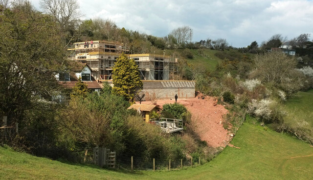
Brunel Manor
Brunel Manor, previously known as Watcombe Park, is a mansion on the outskirts of the seaside resort of Torquay, Devon, England. == Ownership history... ==

Combe Pafford
Combe Pafford is a village in Torbay in the English county of Devon. == References ==
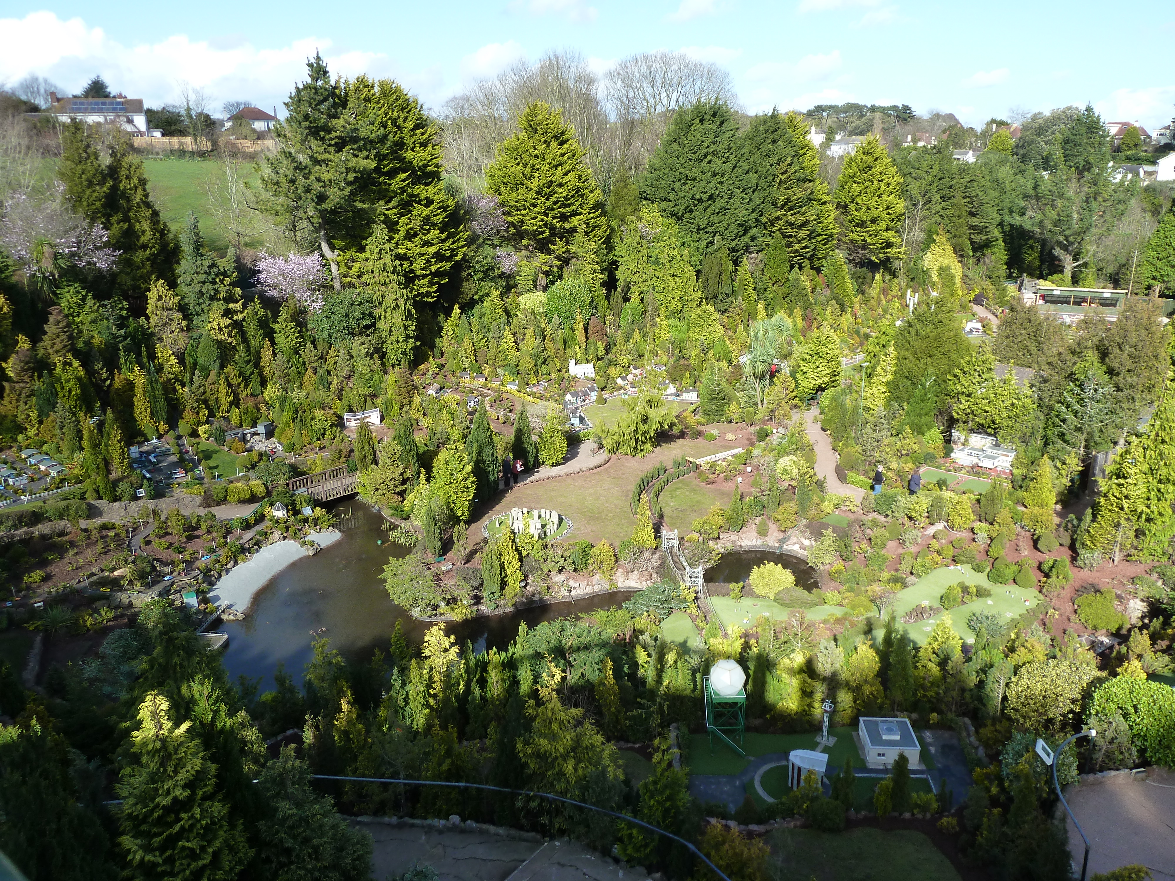
Babbacombe Model Village
Babbacombe Model Village is a miniature village and railway located in Babbacombe in Torquay, Devon. The model village was opened in 1963 by Tom & Ruth...
Oddicombe Beach
Oddicombe Beach is a popular beach, noted for its interesting breccia cliffs, below the Babbacombe district of Torbay, Devon in England. The beach includes...

Babbacombe Cliff Railway
Babbacombe Cliff Railway, also known as the Babbacombe Cliff Lift, is a funicular railway in the town of Torquay in the English county of Devon. It links...
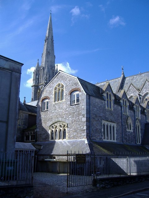
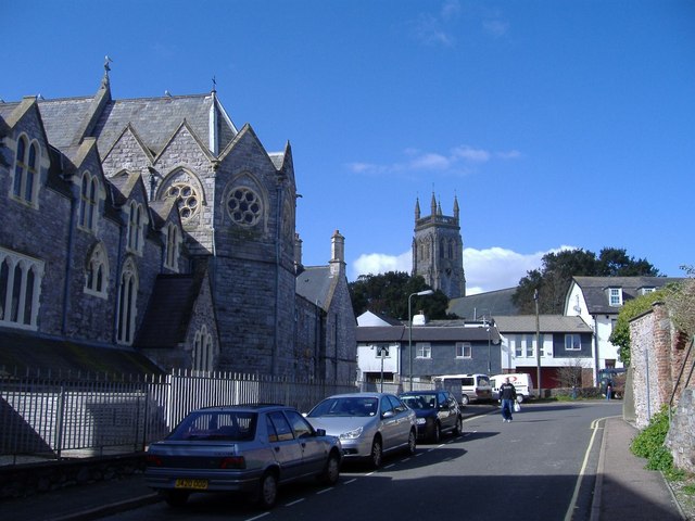
Our Lady Help of Christians and St Denis Church, Torquay
Our Lady Help of Christians and St Denis Church is a Roman Catholic parish church in St Marychurch, Torquay, Devon, England. It was built in 1869 and...
St Marychurch
St Marychurch is an area of Torquay, in the Torbay district, in the ceremonial county of Devon, England. It is one of the oldest settlements in South Devon...

St Marychurch Town Hall
St Marychurch Town Hall is a municipal building in Fore Street, St Marychurch, Devon, England. The town hall, which is now used as a block of apartments...
Nearby Amenities
Located within 500m of 50.497155,-3.5149944Have you been to Watcombe Head?
Leave your review of Watcombe Head below (or comments, questions and feedback).