Watcombe Beach
Beach in Devon
England
Watcombe Beach
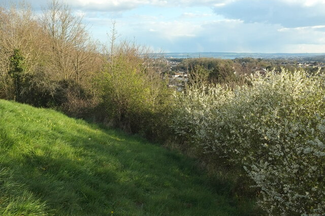
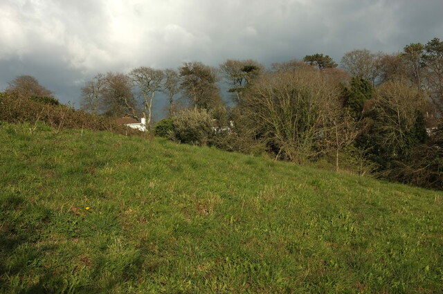
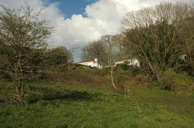
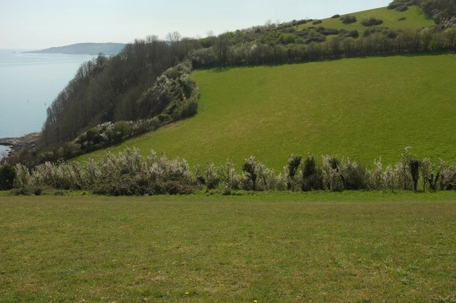
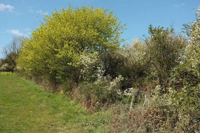
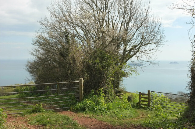
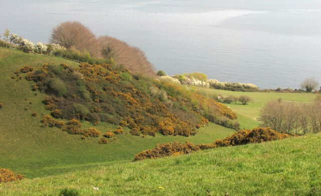
Watcombe Beach is a picturesque coastal area located in Torquay, Devon, England. It is a popular destination for tourists and locals alike, known for its stunning natural beauty and tranquil atmosphere. The beach is nestled within a sheltered cove, surrounded by lush green cliffs and dotted with picturesque rock formations.
With its crystal-clear turquoise waters and soft golden sands, Watcombe Beach offers a perfect spot for relaxation and leisure activities. The beach is relatively secluded, making it an ideal choice for those seeking a peaceful and uncrowded environment. The calm waters also provide an excellent opportunity for swimming and snorkeling, especially during the summer months when the water temperature is pleasant.
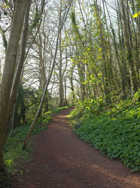
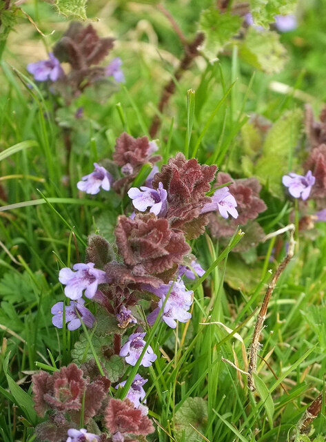
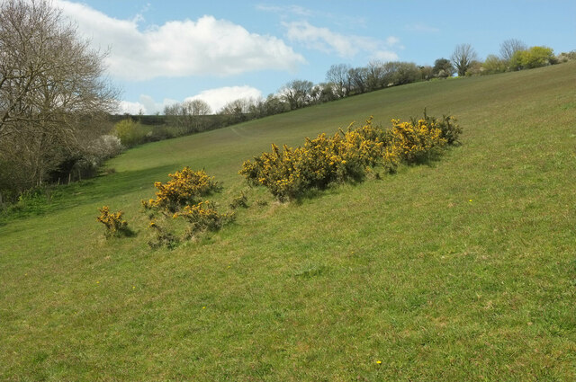
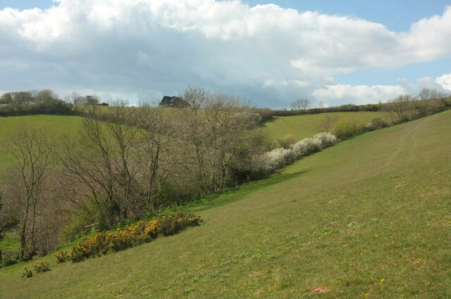
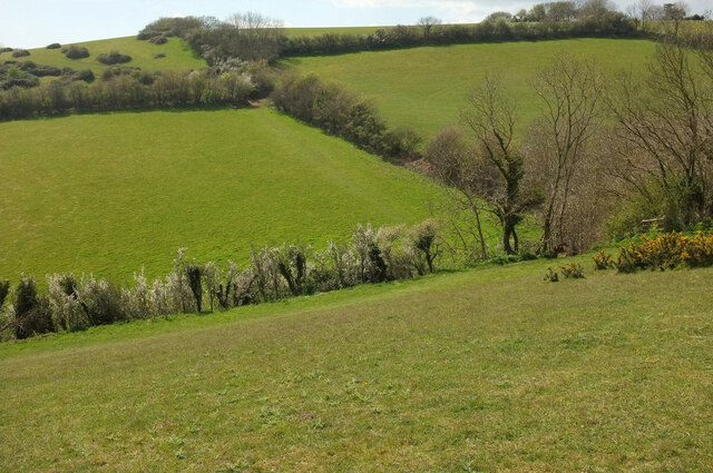
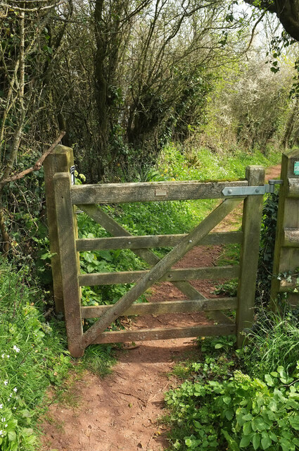
Nature enthusiasts will appreciate the diverse wildlife found in the area. Watcombe Beach is home to a variety of bird species, including seagulls and cormorants, which can be observed soaring above or perched on the rocks. The surrounding cliffs are also home to a rich array of plant life, making it a great place for nature walks and exploration.
Facilities at Watcombe Beach are limited, but there are public toilets available nearby. It is advisable to bring your own food and drinks, as there are no cafés or restaurants directly on the beach. However, the lack of amenities adds to the beach's charm and untouched appeal.
Overall, Watcombe Beach offers visitors a serene and unspoiled coastal experience. Its natural beauty, calm waters, and peaceful atmosphere make it a hidden gem along the English Riviera, perfect for unwinding and enjoying the splendor of nature.
If you have any feedback on the listing, please let us know in the comments section below.
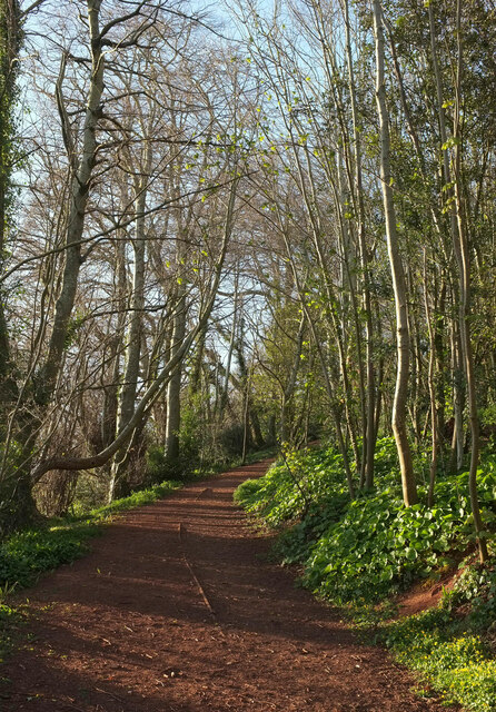
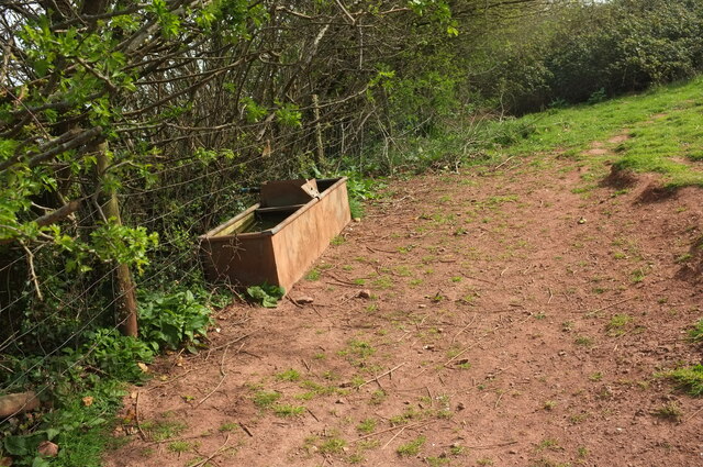
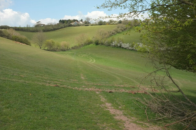
Watcombe Beach Images
Images are sourced within 2km of 50.495958/-3.5150689 or Grid Reference SX9267. Thanks to Geograph Open Source API. All images are credited.


Watcombe Beach is located at Grid Ref: SX9267 (Lat: 50.495958, Lng: -3.5150689)
Unitary Authority: Torbay
Police Authority: Devon and Cornwall
What 3 Words
///boost.agree.moons. Near Torquay, Devon
Nearby Locations
Related Wikis

Brunel Manor
Brunel Manor, previously known as Watcombe Park, is a mansion on the outskirts of the seaside resort of Torquay, Devon, England. == Ownership history... ==

Combe Pafford
Combe Pafford is a village in Torbay in the English county of Devon. == References ==
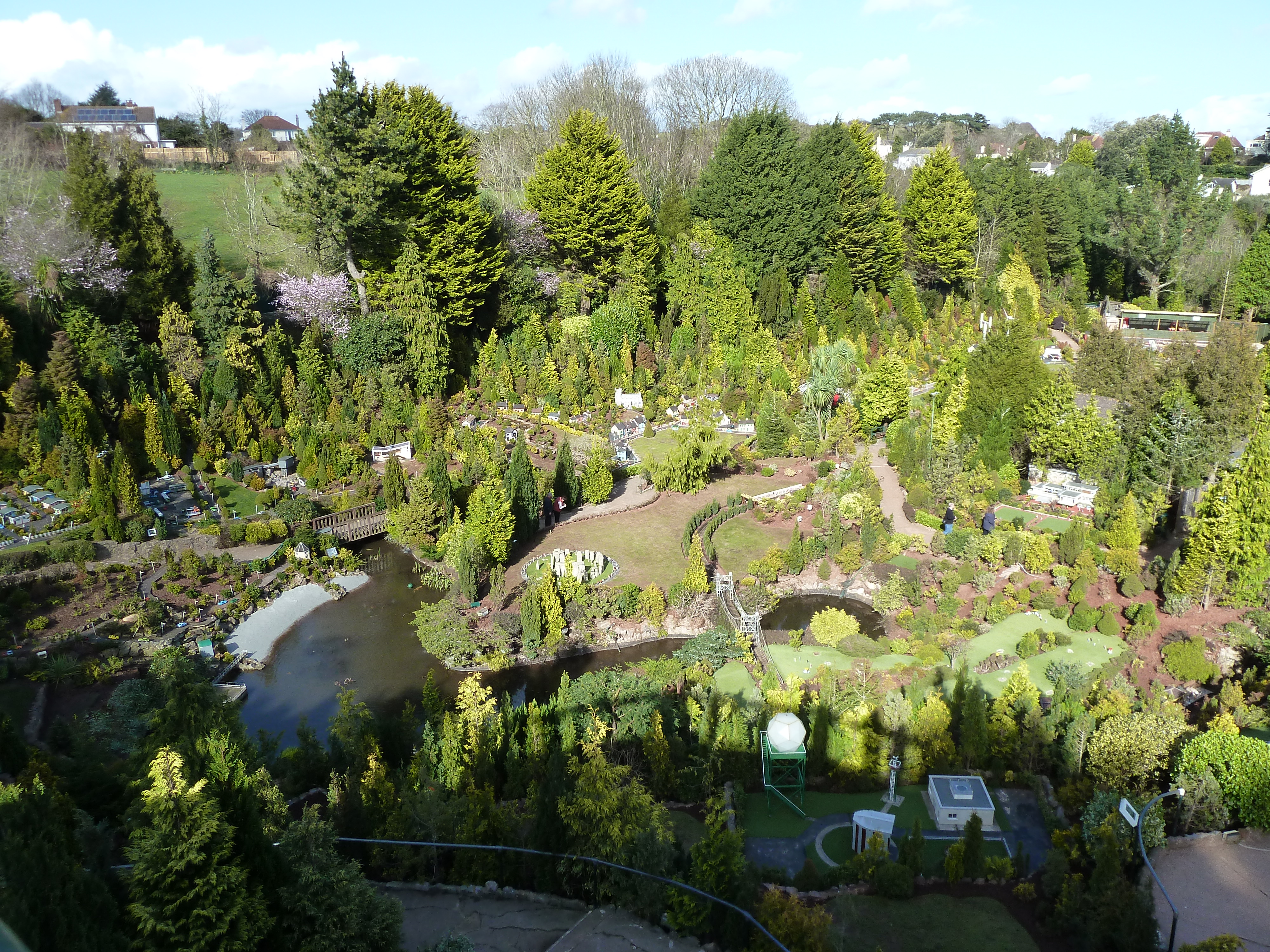
Babbacombe Model Village
Babbacombe Model Village is a miniature village and railway located in Babbacombe in Torquay, Devon. The model village was opened in 1963 by Tom & Ruth...
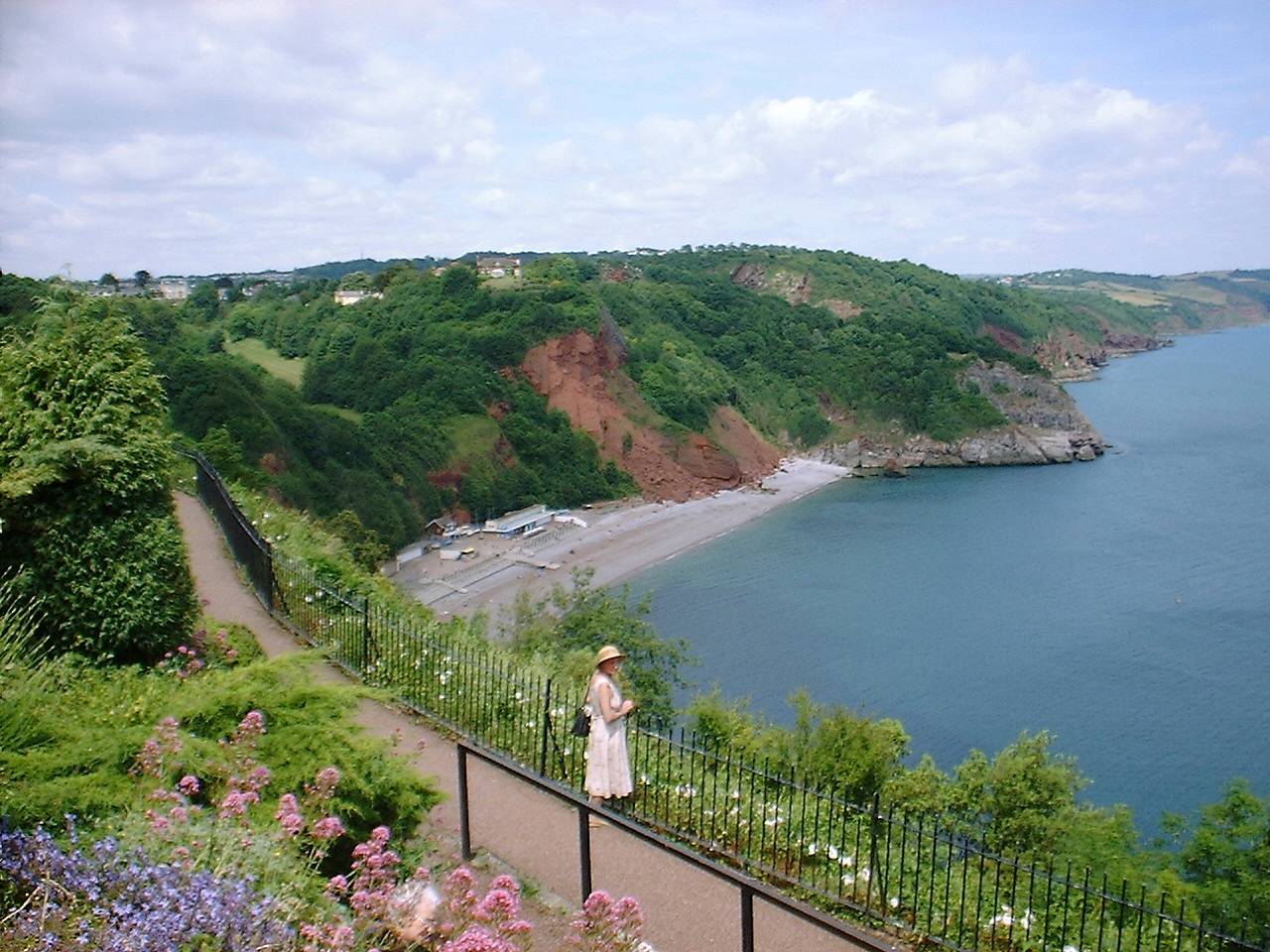
Oddicombe Beach
Oddicombe Beach is a popular beach, noted for its interesting breccia cliffs, below the Babbacombe district of Torbay, Devon in England. The beach includes...

Babbacombe Cliff Railway
Babbacombe Cliff Railway, also known as the Babbacombe Cliff Lift, is a funicular railway in the town of Torquay in the English county of Devon. It links...
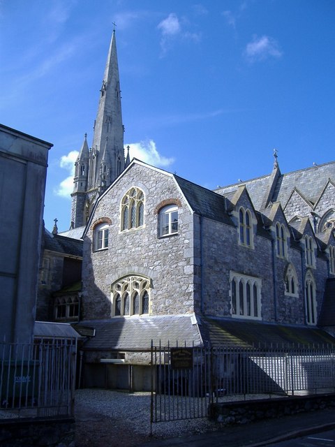
Our Lady Help of Christians and St Denis Church, Torquay
Our Lady Help of Christians and St Denis Church is a Roman Catholic parish church in St Marychurch, Torquay, Devon, England. It was built in 1869 and...
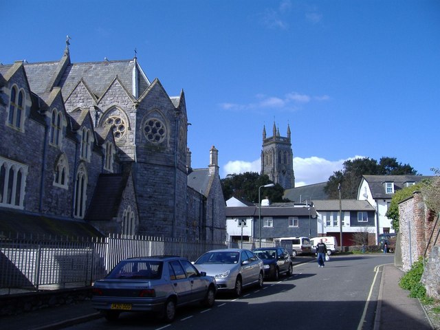
St Marychurch
St Marychurch is an area of Torquay, in the Torbay district, in the ceremonial county of Devon, England. It is one of the oldest settlements in South Devon...

St Marychurch Town Hall
St Marychurch Town Hall is a municipal building in Fore Street, St Marychurch, Devon, England. The town hall, which is now used as a block of apartments...
Nearby Amenities
Located within 500m of 50.495958,-3.5150689Have you been to Watcombe Beach?
Leave your review of Watcombe Beach below (or comments, questions and feedback).