Clach Dhubh
Coastal Feature, Headland, Point in Ross-shire
Scotland
Clach Dhubh
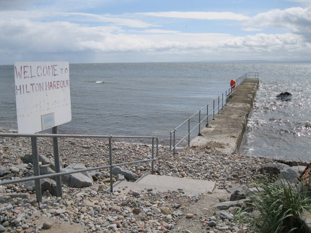
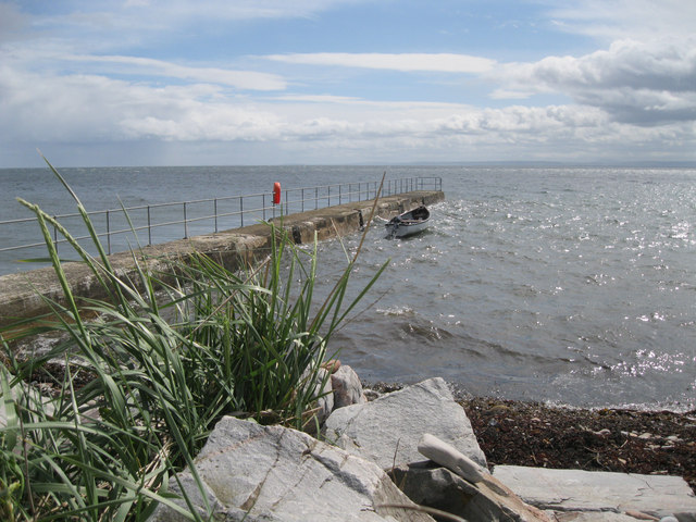
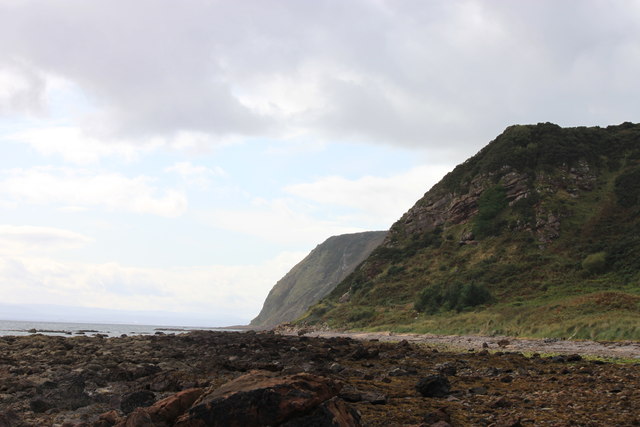
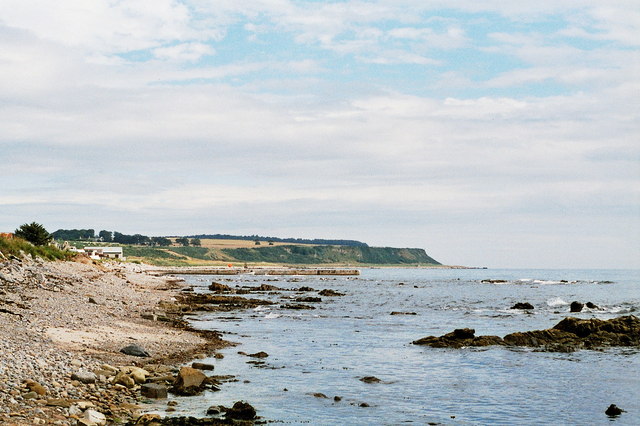
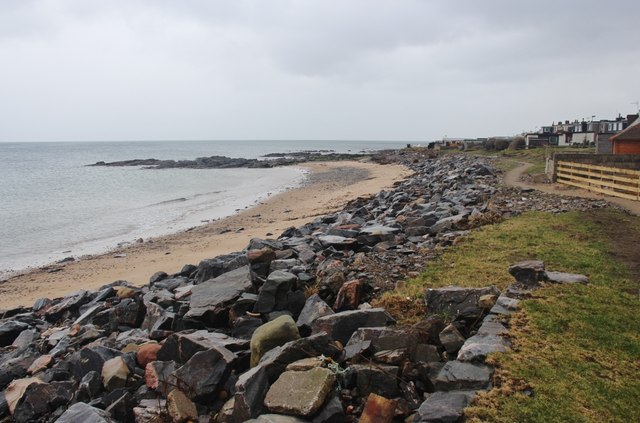
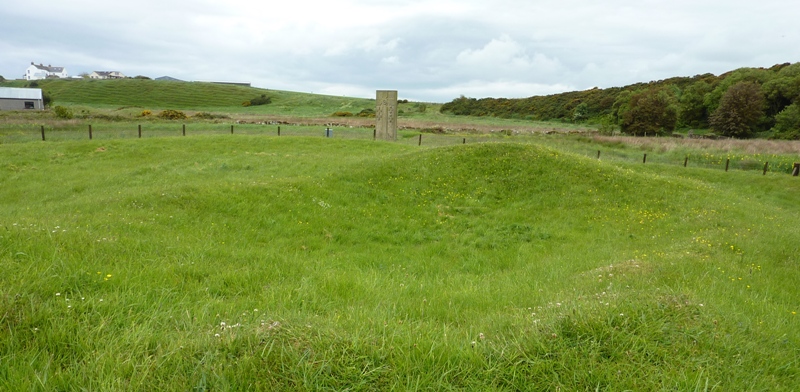
Clach Dhubh is a prominent coastal feature located in Ross-shire, Scotland. Also known as Black Rock in English, it is a headland or peninsula jutting out into the sea, forming a distinct point along the rugged coastline.
Situated on the northeastern coast of Scotland, Clach Dhubh is characterized by its towering cliffs and rocky terrain. The headland is formed by layers of sedimentary rocks, including sandstone and shale, which have been sculpted by centuries of erosion caused by the relentless waves of the North Sea.
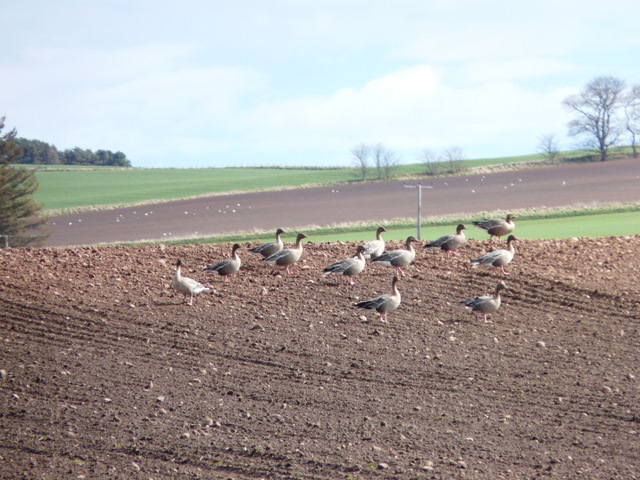
The landscape of Clach Dhubh is both dramatic and picturesque. The headland offers breathtaking views of the surrounding sea and coastline, with its rocky cliffs providing a stark contrast to the deep blue waters below. It is also home to a diverse array of marine life, including seabirds, seals, and occasionally dolphins.
The headland is a popular destination for nature enthusiasts, hikers, and photographers, who are drawn to its natural beauty and tranquility. Visitors can explore the rugged coastal trails that wind along the cliffs, offering spectacular vistas at every turn. The area is also rich in history, with ancient ruins and archaeological sites scattered throughout the vicinity.
Overall, Clach Dhubh is a remarkable coastal feature that showcases the raw power of nature and offers a glimpse into Scotland's rich natural and cultural heritage. Whether you are seeking scenic beauty, outdoor adventure, or a peaceful retreat, this headland is sure to leave a lasting impression.
If you have any feedback on the listing, please let us know in the comments section below.
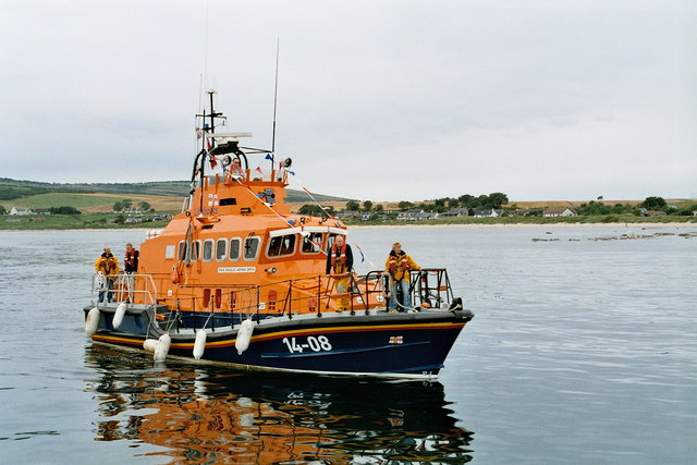
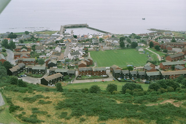
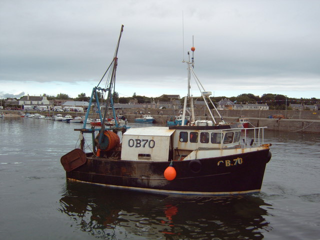
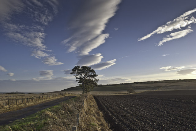
Clach Dhubh Images
Images are sourced within 2km of 57.757395/-3.9052395 or Grid Reference NH8675. Thanks to Geograph Open Source API. All images are credited.
Clach Dhubh is located at Grid Ref: NH8675 (Lat: 57.757395, Lng: -3.9052395)
Unitary Authority: Highland
Police Authority: Highlands and Islands
What 3 Words
///colonies.crackled.beep. Near Balintore, Highland
Nearby Locations
Related Wikis

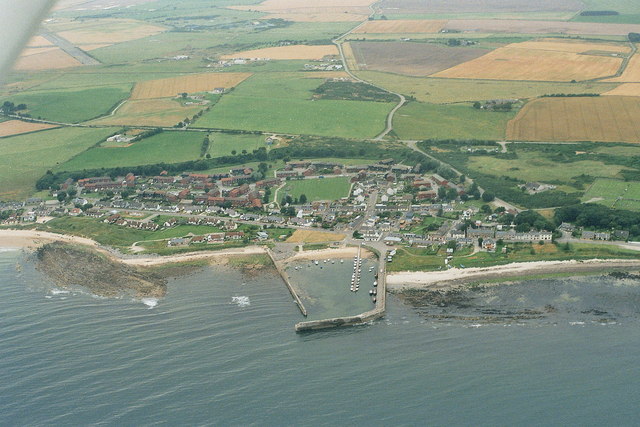
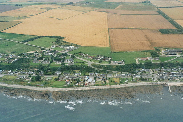
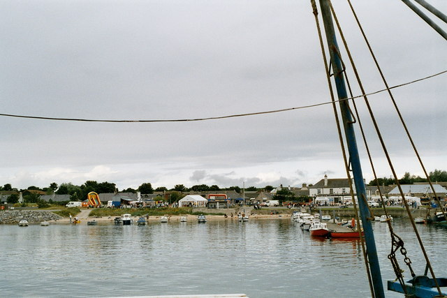
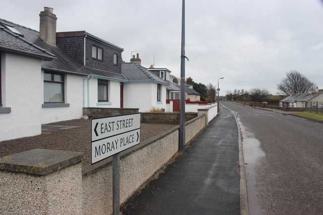
Seaboard Villages
The Seaboard Villages (Scottish Gaelic: Na Trì Port Mara) are three contiguous coastal villages, situated about 10 km southeast of the town of Tain in...
Balintore, Easter Ross
Balintore (from the Scottish Gaelic: Baile an Todhair meaning "The Bleaching Town") is a village near Tain in Easter Ross, Scotland. It is one of three...
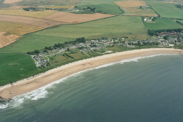
Hilton of Cadboll
Hilton of Cadboll, or simply Hilton, (Scottish Gaelic: Baile a' Chnuic) is a village about 15 km (9 mi) southeast of Tain in Easter Ross, in the Scottish...
Shandwick
Shandwick (Scottish Gaelic: Seannduaig), a village near Tain in Easter Ross, and is in the Scottish council area of Highland, Scotland. Hilton, Balintore...

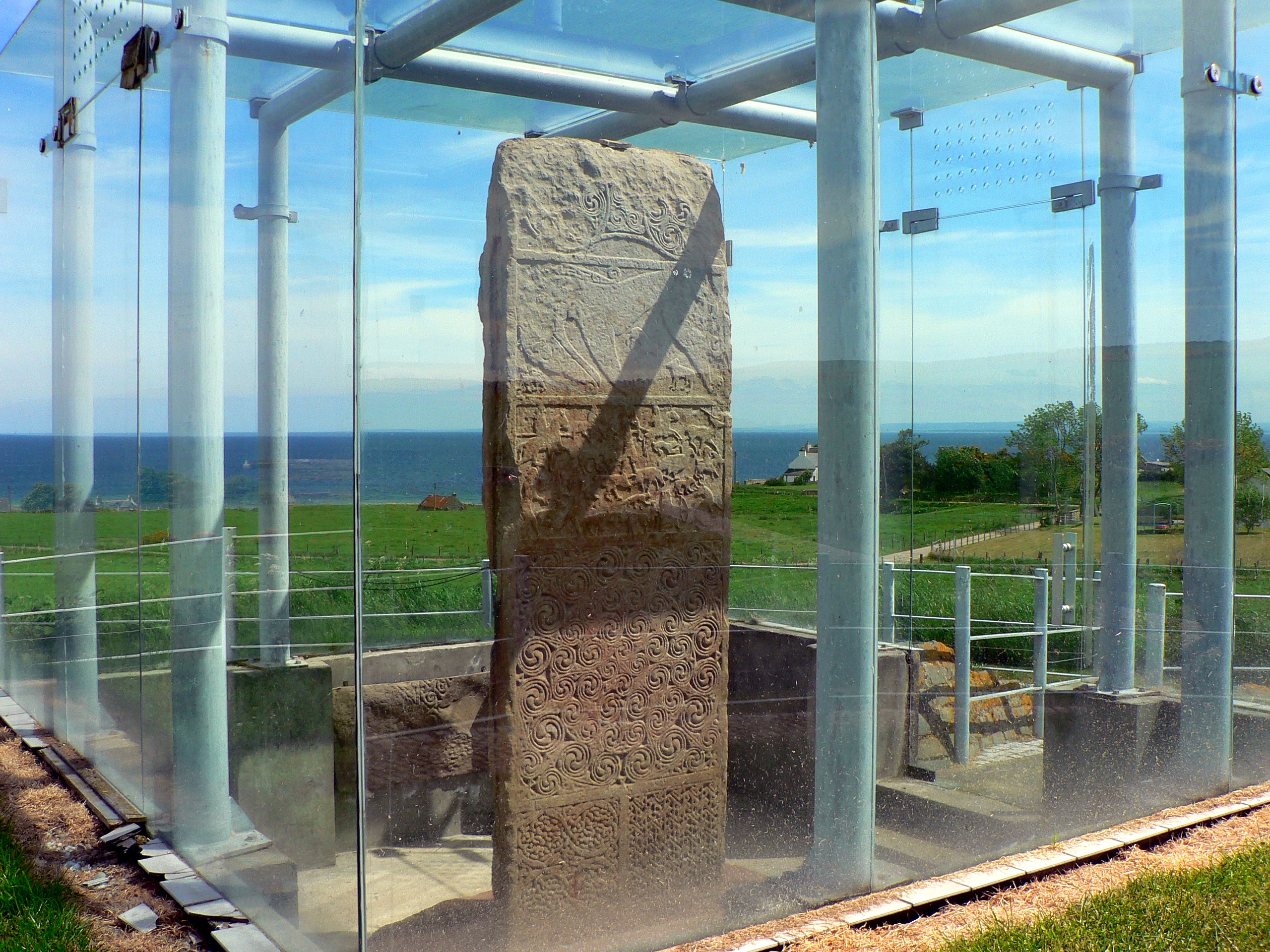
Hilton of Cadboll Stone
The Hilton of Cadboll Stone is a Class II Pictish stone discovered at Hilton of Cadboll, on the East coast of the Tarbat Peninsula in Easter Ross, Scotland...
Hilton of Cadboll Chapel
The Hilton of Cadboll Chapel is the remains of a medieval chapel dedicated to the Virgin Mary. The chapel is located in Hilton of Cadboll, a village in...

Clach a' Charridh
The Clach a' Charridh or Shandwick Stone is a Class II Pictish stone located near Shandwick on the Tarbat peninsula in Easter Ross, Scotland. It is a scheduled...
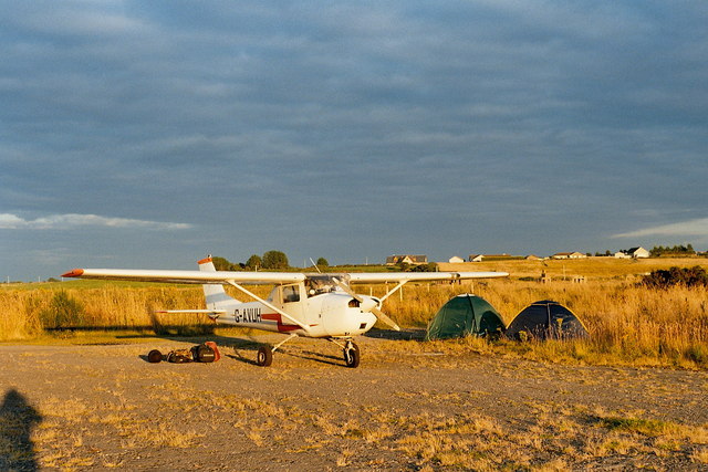
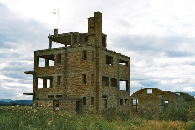
RNAS Fearn (HMS Owl)
Royal Naval Air Station Fearn (RNAS Fearn; or HMS Owl) is a former Royal Navy Fleet Air Arm airbase, located 5.4 miles (8.7 km) southeast of Tain, Scottish...
Nearby Amenities
Located within 500m of 57.757395,-3.9052395Have you been to Clach Dhubh?
Leave your review of Clach Dhubh below (or comments, questions and feedback).