Sron Liath
Beach in Ross-shire
Scotland
Sron Liath
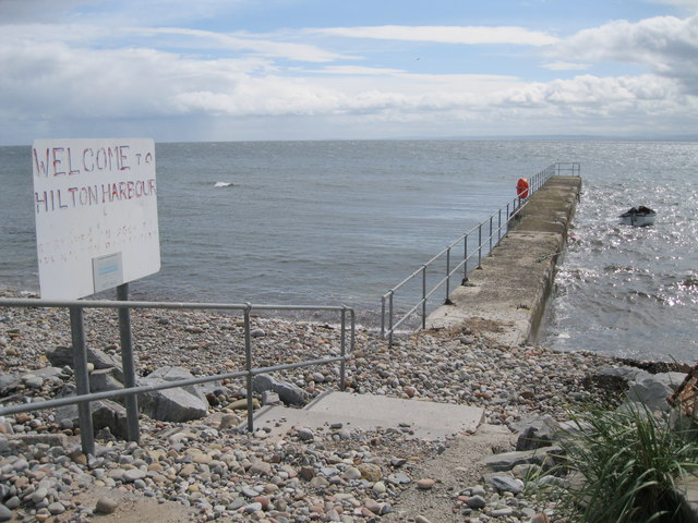
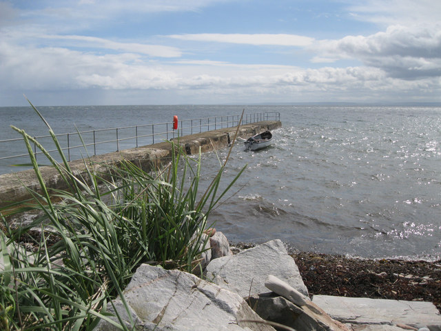
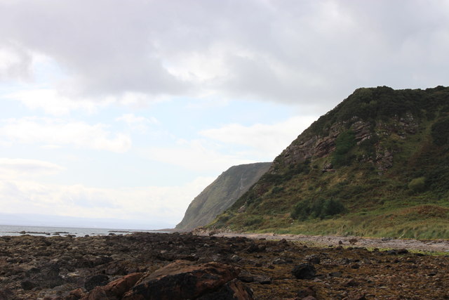
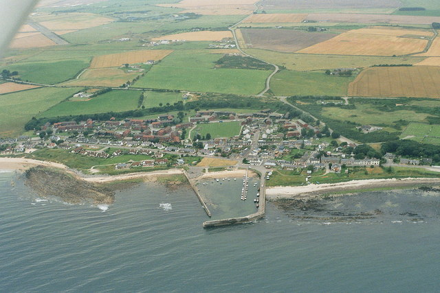
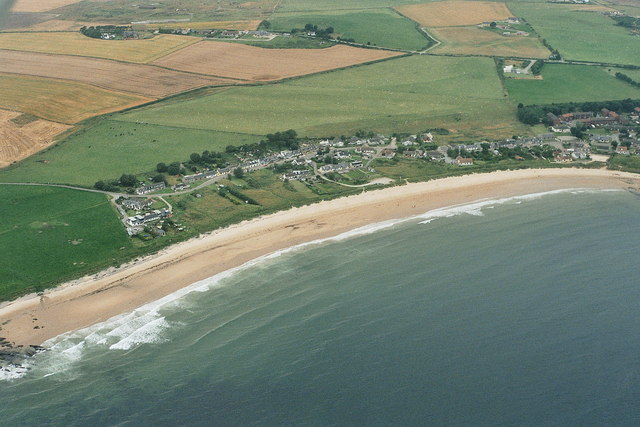
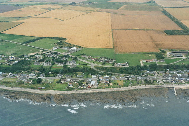
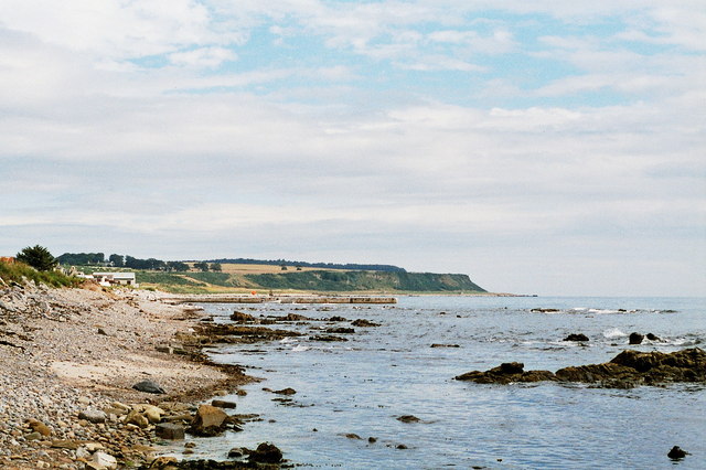
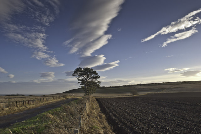
Sron Liath beach is a stunning coastal destination located in Ross-shire, Scotland. Situated on the west coast of the Highlands, this picturesque beach offers breathtaking views of the North Atlantic Ocean and the surrounding rugged landscapes.
Stretching for approximately 2 miles, Sron Liath beach is characterized by its golden sands, which are interspersed with areas of shingle and rocky outcrops. The beach is backed by grassy dunes and low cliffs, adding to its natural beauty.
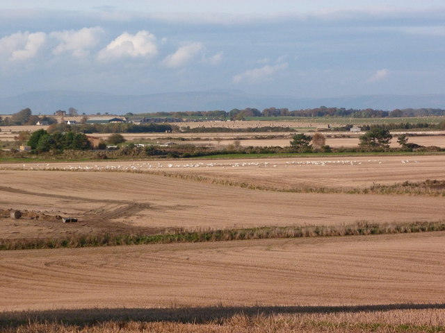
Due to its remote location, Sron Liath beach remains relatively untouched and provides a peaceful and serene environment for visitors. It is a popular spot for those seeking tranquility and relaxation, as well as nature enthusiasts and photographers.
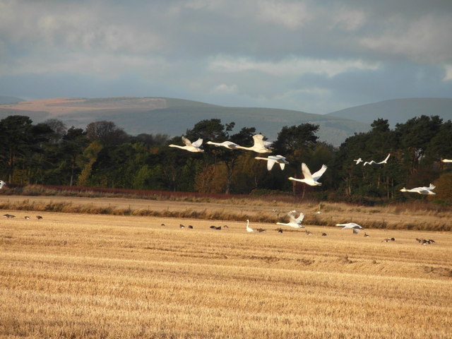
The beach is also known for its diverse wildlife, with various seabirds, including gulls and terns, frequently spotted along the shore. Seals are occasionally sighted, basking on rocks in the nearby waters.
Sron Liath beach is an ideal destination for coastal walks and picnics, with ample space to explore and enjoy the stunning surroundings. However, it is important to note that swimming in the Atlantic Ocean can be challenging due to strong currents and cold temperatures.
Overall, Sron Liath beach offers a truly idyllic setting for those seeking a peaceful retreat amidst Scotland's natural splendor.
If you have any feedback on the listing, please let us know in the comments section below.
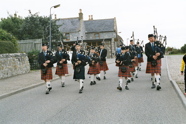
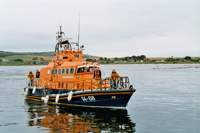
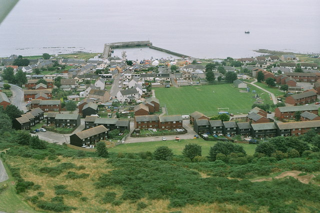
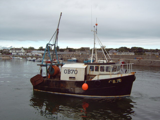
Sron Liath Images
Images are sourced within 2km of 57.752458/-3.9157184 or Grid Reference NH8675. Thanks to Geograph Open Source API. All images are credited.

Sron Liath is located at Grid Ref: NH8675 (Lat: 57.752458, Lng: -3.9157184)
Unitary Authority: Highland
Police Authority: Highlands and Islands
What 3 Words
///relegate.sleep.mainly. Near Balintore, Highland
Nearby Locations
Related Wikis
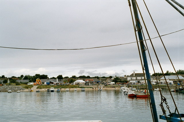
Shandwick
Shandwick (Scottish Gaelic: Seannduaig), a village near Tain in Easter Ross, and is in the Scottish council area of Highland, Scotland. Hilton, Balintore...

Seaboard Villages
The Seaboard Villages (Scottish Gaelic: Na Trì Port Mara) are three contiguous coastal villages, situated about 10 km southeast of the town of Tain in...
Balintore, Easter Ross
Balintore (from the Scottish Gaelic: Baile an Todhair meaning "The Bleaching Town") is a village near Tain in Easter Ross, Scotland. It is one of three...

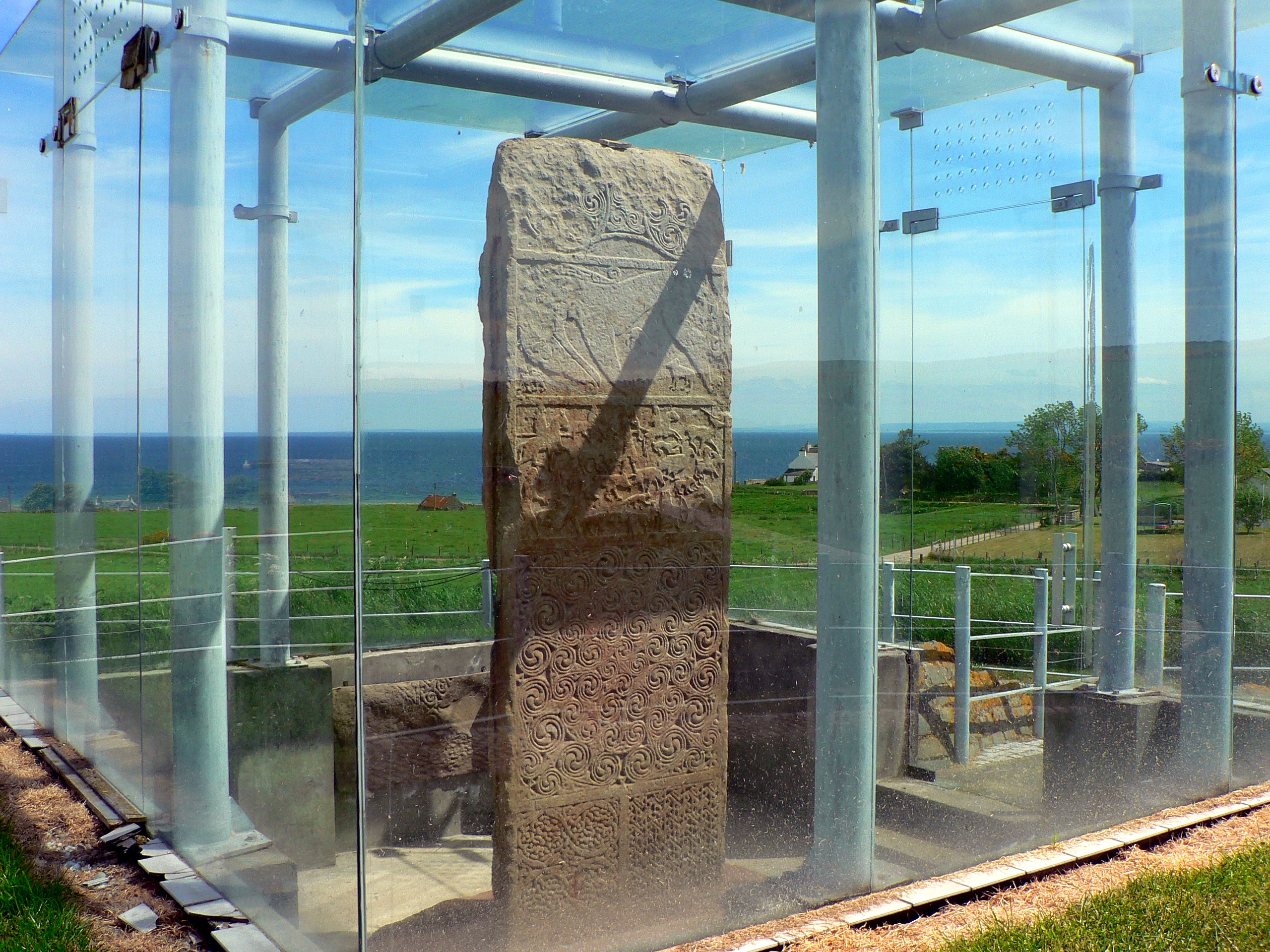
Clach a' Charridh
The Clach a' Charridh or Shandwick Stone is a Class II Pictish stone located near Shandwick on the Tarbat peninsula in Easter Ross, Scotland. It is a scheduled...
Hilton of Cadboll
Hilton of Cadboll, or simply Hilton, (Scottish Gaelic: Baile a' Chnuic) is a village about 15 km (9 mi) southeast of Tain in Easter Ross, in the Scottish...

Hilton of Cadboll Stone
The Hilton of Cadboll Stone is a Class II Pictish stone discovered at Hilton of Cadboll, on the East coast of the Tarbat Peninsula in Easter Ross, Scotland...
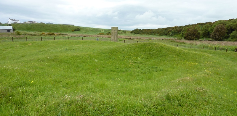
Hilton of Cadboll Chapel
The Hilton of Cadboll Chapel is the remains of a medieval chapel dedicated to the Virgin Mary. The chapel is located in Hilton of Cadboll, a village in...
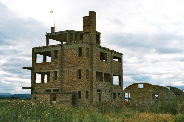
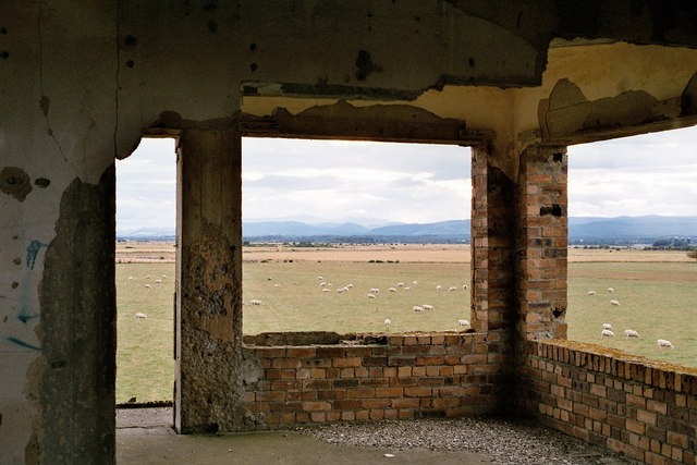
RNAS Fearn (HMS Owl)
Royal Naval Air Station Fearn (RNAS Fearn; or HMS Owl) is a former Royal Navy Fleet Air Arm airbase, located 5.4 miles (8.7 km) southeast of Tain, Scottish...
Nearby Amenities
Located within 500m of 57.752458,-3.9157184Have you been to Sron Liath?
Leave your review of Sron Liath below (or comments, questions and feedback).