Creag Bhriste

Coastal Feature, Headland, Point in Ross-shire

Scotland

Creag Bhriste

Glachbeg Croft Glachbeg Croft is an education centre that is part of a six hectare croft on the Black Isle. It offers community events, training for adults with special needs and programmes around farming, the countryside and environmental education. Note the turf roof.
Glachbeg Croft Credit: John Allan

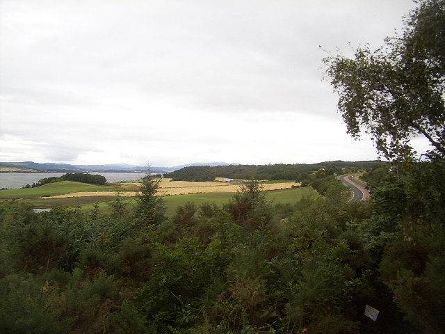
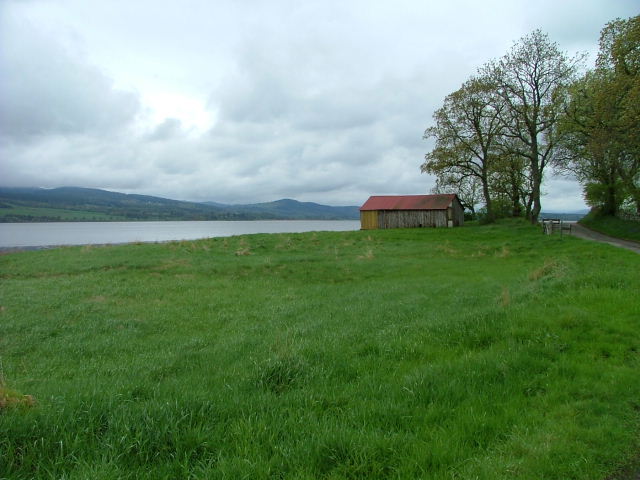
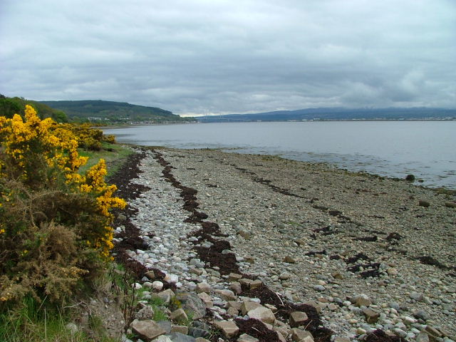
Creag Bhriste is a prominent headland located in Ross-shire, Scotland. It is situated along the rugged coastline, offering stunning views of the surrounding landscape and the North Sea. The headland is characterized by its towering cliffs, which rise steeply from the sea, creating a dramatic and picturesque scene.

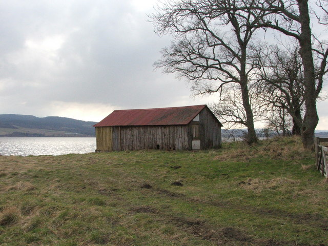
Creag Bhriste is a popular destination for hikers and nature enthusiasts, who come to explore the rugged terrain and enjoy the breathtaking views of the coastline. The headland is home to a variety of wildlife, including seabirds and marine life, making it a great spot for birdwatching and wildlife photography.

The headland is easily accessible by car or on foot, with a well-maintained path leading up to the summit. From the top, visitors can enjoy panoramic views of the surrounding area, including nearby beaches, cliffs, and the open sea.

Overall, Creag Bhriste is a must-visit destination for those looking to experience the natural beauty of the Scottish coastline. Its rugged cliffs, stunning views, and abundant wildlife make it a truly unique and memorable location.

If you have any feedback on the listing, please let us know in the comments section below.

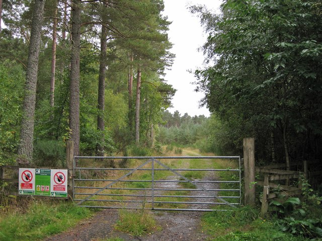
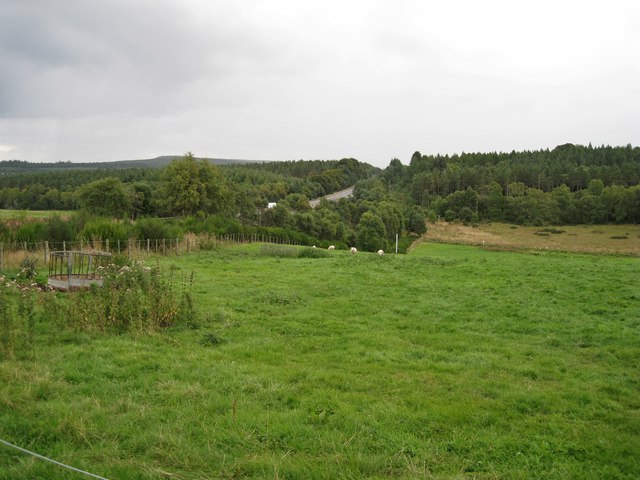
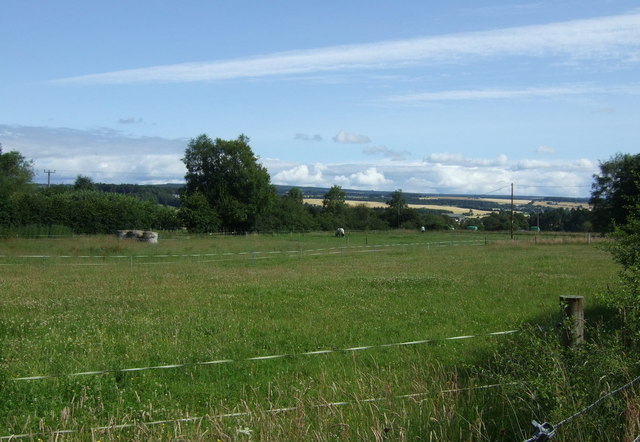
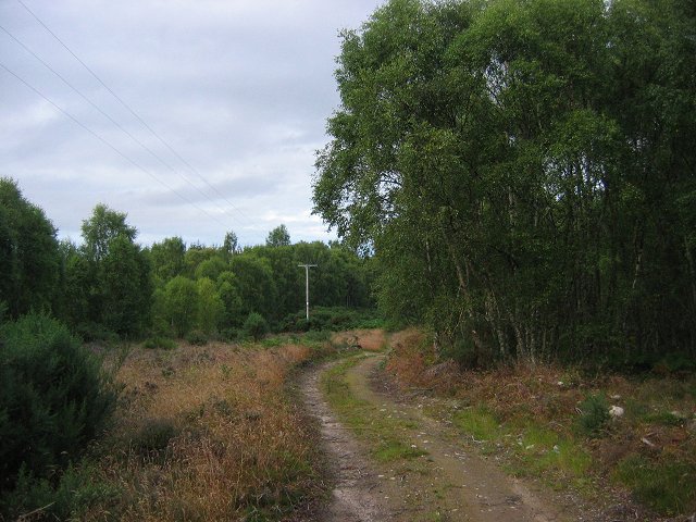
Creag Bhriste Images

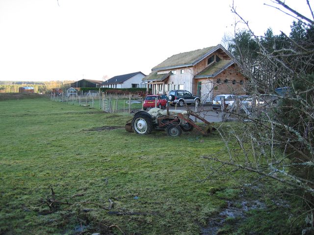
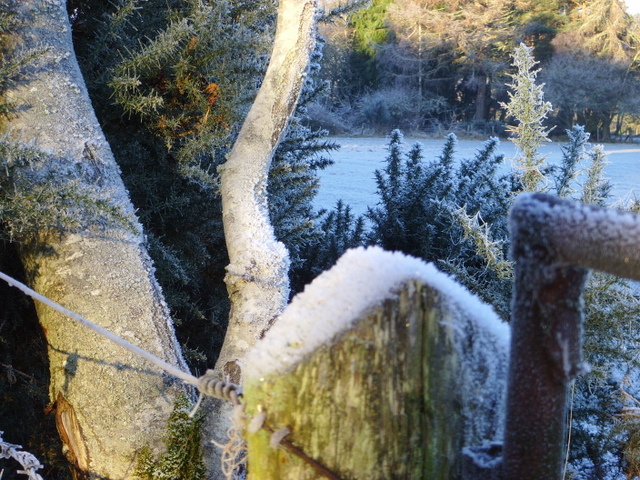
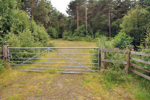
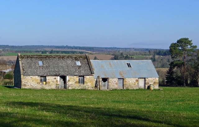
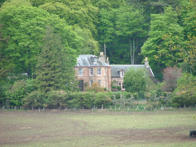
Images are sourced within 2km of 57.50442/-4.3032945 or Grid Reference NH6248. Thanks to Geograph Open Source API. All images are credited.

Glachbeg Croft Glachbeg Croft is an education centre that is part of a six hectare croft on the Black Isle. It offers community events, training for adults with special needs and programmes around farming, the countryside and environmental education. Note the turf roof.
Glachbeg Croft
Glachbeg Croft is an education centre that is part of a six hectare croft on the Black Isle. It offers community events, training for adults with special needs and programmes around farming, the countryside and environmental education. Note the turf roof.
Frosty corner, Glachbeg
Track into woods near Allangrange
Farm outbuildings near Allanglachwood These buildings have seen better days and by the quality of the grass outside them I feel they are seldom used
Farm outbuildings near Allanglachwood
These buildings have seen better days and by the quality of the grass outside them I feel they are seldom used
Barns in a field The larger of the two buildings is the right shape and size to have at one time have been a dwelling, though it looks like it has never had a chimney.
Barns in a field
The larger of the two buildings is the right shape and size to have at one time have been a dwelling, though it looks like it has never had a chimney.
Track entrance Gated entrance to a short track into a Forestry Commission plantation.
Track entrance
Gated entrance to a short track into a Forestry Commission plantation.
Grazing land South of the A9, viewed from close to Teandore Farm.
Grazing land
South of the A9, viewed from close to Teandore Farm.
Old farm buildings by Allanglach These buildings suggest to me that the surrounding field was once a stand alone croft.  It seems to have been assumed into a larger holding with the result that the buildings have been neglected.
Old farm buildings by Allanglach
These buildings suggest to me that the surrounding field was once a stand alone croft. It seems to have been assumed into a larger holding with the result that the buildings have been neglected.
Grazing near Allanglach From National Cycle Route 1.
Grazing near Allanglach
From National Cycle Route 1.
Farm track off National Cycle Route 1
National Cycle Route 1 near Allanglach Heading north west.
National Cycle Route 1 near Allanglach
Heading north west.
Cnoc na h-Eireachd. Small Black Isle hill, now clothed in birchwoods. As usual in the Inverness area there are some new houses here. The summit is clear of trees, and buried in gorse.
Cnoc na h-Eireachd.
Small Black Isle hill, now clothed in birchwoods. As usual in the Inverness area there are some new houses here. The summit is clear of trees, and buried in gorse.
Beauly Firth and A9 Taken near Coldwells, this picture shows the Beauly Firth on the left and the A9 on the right. The Black Isle was changed forever in 1982 when the Kessock Bridge <a href="https://www.geograph.org.uk/photo/14348">NH6647 : Kessock Bridge</a> was built and cut the journey from the Black Isle to Inverness. Previously, travellers would either have to skirt the far end of the Beauly Firth or take the Kessock Ferry.
Beauly Firth and A9
Taken near Coldwells, this picture shows the Beauly Firth on the left and the A9 on the right. The Black Isle was changed forever in 1982 when the Kessock Bridge NH6647 : Kessock Bridge was built and cut the journey from the Black Isle to Inverness. Previously, travellers would either have to skirt the far end of the Beauly Firth or take the Kessock Ferry.
Boathouse Boathouse on the shore of the Beauly Firth
Boathouse
Boathouse on the shore of the Beauly Firth
Boatshed By the shore of the Beauly Firth.
Boatshed
By the shore of the Beauly Firth.
Driveway to Coulmore House On the north shore of the Beauly Firth
Driveway to Coulmore House
On the north shore of the Beauly Firth
Coulmore House On the edge of Coulmore Wood
Coulmore House
On the edge of Coulmore Wood
Shoreline on Coulmore Bay With the Kessock Bridge in the distance.
Shoreline on Coulmore Bay
With the Kessock Bridge in the distance.
Show me another place!

Creag Bhriste is located at Grid Ref: NH6248 (Lat: 57.50442, Lng: -4.3032945)

Unitary Authority: Highland

Police Authority: Highlands and Islands

What 3 Words

///yard.briefing.fluffed. Near Inverness, Highland

Related Wikis

Artafallie

Artafallie (Scottish Gaelic: Àirde Fàillidh) is a hamlet on the Black Isle, in the Highland council area of Scotland. It is about two km (1.2 mi) to the...

Croftnacreich

Croftnacreich () is a hamlet on the Black Isle, in Ross and Cromarty in the Highland council area of Scotland. It is one mile (1.6 km) north-west of North...

Arpafeelie

Arpafeelie (Scottish Gaelic: Arpa Phìlidh) is a hamlet on the Black Isle, in Ross and Cromarty, in the Highland council area of Scotland. It is situated...

Charlestown, Black Isle

Charleston is a village on the north shore of the Beauly Firth, about 1 mile west of the Kessock Bridge, in east Ross-shire, Scottish Highlands, within...

Nearby Amenities

Located within 500m of 57.50442,-4.3032945
Created By: almien_coastlines
Source: PGS
Lat/Long: 57.502248/-4.310434
Created By: almien_coastlines
Source: PGS
Lat/Long: 57.502253/-4.309958
Created By: almien_coastlines
Source: PGS
Lat/Long: 57.502553/-4.305688
Source: PGS
Lat/Long: 57.5026267/-4.3053513
Source: PGS
Lat/Long: 57.5027526/-4.3050544
Created By: almien_coastlines
Source: PGS
Lat/Long: 57.502945/-4.30499
Created By: almien_coastlines
Source: PGS
Lat/Long: 57.503075/-4.304756
Created By: almien_coastlines
Source: PGS
Lat/Long: 57.503341/-4.303814
Created By: almien_coastlines
Source: PGS
Lat/Long: 57.503345/-4.303339
Created By: almien_coastlines
Source: PGS
Lat/Long: 57.503104/-4.301903
Created By: almien_coastlines
Source: PGS
Lat/Long: 57.503114/-4.300952
Created By: almien_coastlines
Source: PGS
Lat/Long: 57.503389/-4.299059
Created By: almien_coastlines
Source: PGS
Lat/Long: 57.503394/-4.298584
Created By: almien_coastlines
Source: PGS
Lat/Long: 57.503404/-4.297633
Created By: almien_coastlines
Source: PGS
Lat/Long: 57.503414/-4.296682
Created By: almien_coastlines
Source: PGS
Lat/Long: 57.503419/-4.296206
Craigrory
Name En: Craigrory
Name Gd: Craig Ruaraidh
Place: locality
Source: OS OpenData Streetview
Lat/Long: 57.5070404/-4.3034256
The Old Boatyard
Leisure: garden
Source: survey 13th September 2014
Lat/Long: 57.5039461/-4.2956146
Telephone
Booth: K6
Covered: booth
Lat/Long: 57.5032243/-4.3064026
Power: pole
Lat/Long: 57.5064003/-4.2964553
Power: pole
Lat/Long: 57.5060253/-4.2977377
Power: pole
Lat/Long: 57.5056449/-4.2990587
Power: pole
Lat/Long: 57.505272/-4.3003412
Power: pole
Lat/Long: 57.5050595/-4.3010331
Power: pole
Lat/Long: 57.5052982/-4.3012563
Power: pole
Lat/Long: 57.5086507/-4.3019067
The data included in this document is from www.openstreetmap.org. The data is made available under ODbL.

Have you been to Creag Bhriste?

Leave your review of Creag Bhriste below (or comments, questions and feedback).