Craigrory

Settlement in Ross-shire

Scotland

Craigrory

Stubble A field of stubble next to the A9, which runs in the trees on the far side.
Stubble Credit: John Allan

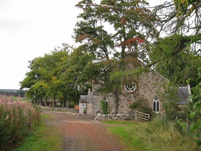
Craigrory, located in Ross-shire, Scotland, is a small village nestled in the picturesque Scottish Highlands. With a population of just over 200 residents, it offers a peaceful and idyllic escape from the hustle and bustle of city life.

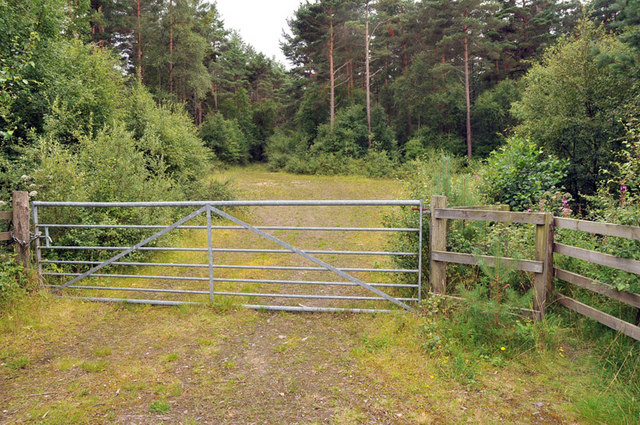
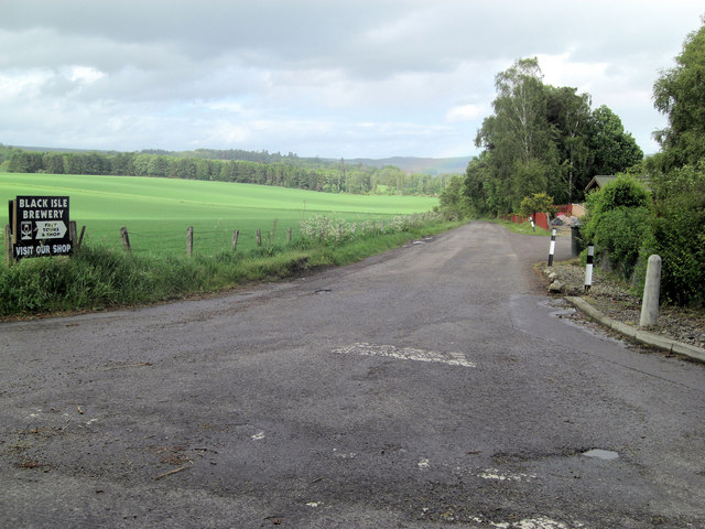
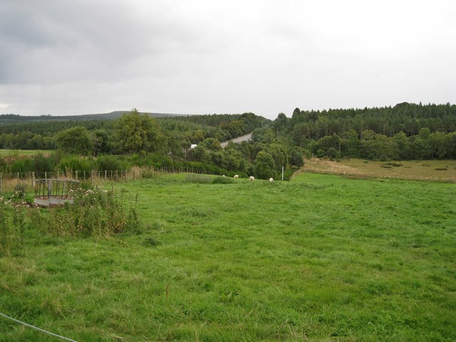
The village is surrounded by breathtaking natural beauty, with rolling hills, stunning lochs, and dense forests. Outdoor enthusiasts can explore the nearby Ben Wyvis mountain range, which offers a variety of hiking trails and panoramic views of the surrounding area.

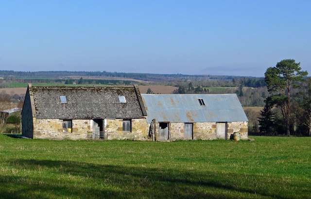
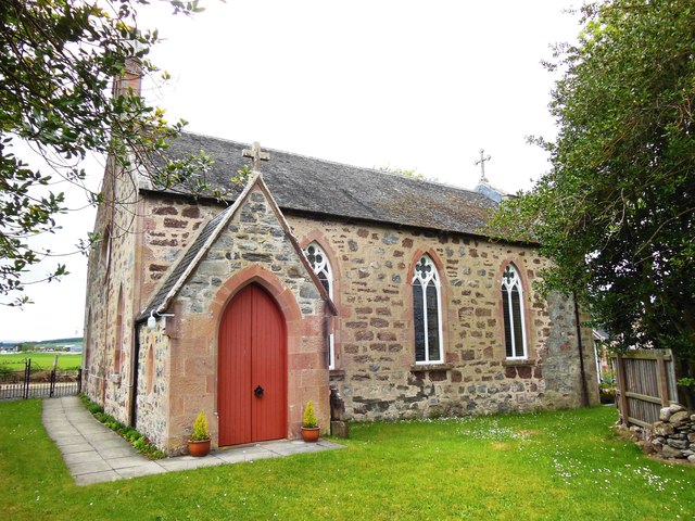
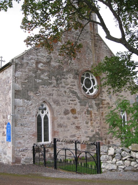
Craigrory boasts a rich history, with evidence of settlements dating back to ancient times. The area is dotted with historical landmarks, including the ruins of an old castle and several standing stones, which provide a glimpse into the village's past.

Despite its small size, Craigrory offers a range of amenities to its residents and visitors. The village is home to a local pub, where locals gather to socialize and enjoy traditional Scottish fare. There is also a small convenience store, providing essential supplies to the community.

The village has a strong sense of community spirit, with regular events and activities organized throughout the year. These include local festivals, farmers' markets, and community gatherings, which bring residents together and foster a close-knit atmosphere.

While Craigrory may be off the beaten path, its natural beauty, rich history, and strong community make it an attractive destination for those seeking a peaceful retreat in the heart of the Scottish Highlands.

If you have any feedback on the listing, please let us know in the comments section below.
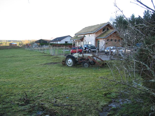
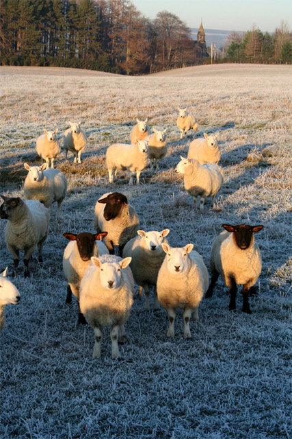
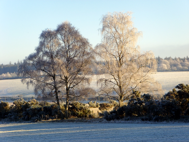
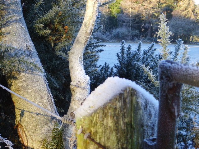
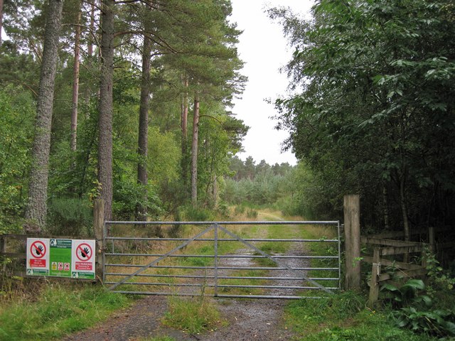
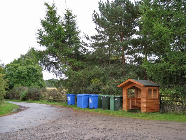
Craigrory Images

Images are sourced within 2km of 57.50847/-4.30386 or Grid Reference NH6248. Thanks to Geograph Open Source API. All images are credited.

Stubble A field of stubble next to the A9, which runs in the trees on the far side.
Stubble
A field of stubble next to the A9, which runs in the trees on the far side.
Glachbeg Croft Glachbeg Croft is an education centre that is part of a six hectare croft on the Black Isle. It offers community events, training for adults with special needs and programmes around farming, the countryside and environmental education. Note the turf roof.
Glachbeg Croft
Glachbeg Croft is an education centre that is part of a six hectare croft on the Black Isle. It offers community events, training for adults with special needs and programmes around farming, the countryside and environmental education. Note the turf roof.
Waiting to be fed Sheep waiting for the arrival of the shepherd on Ashley Farm on the Black Isle.
Waiting to be fed
Sheep waiting for the arrival of the shepherd on Ashley Farm on the Black Isle.
Near Glachbeg, on a frosty morning.
Frosty corner, Glachbeg
Road junction and marked cycle routes near Allangrange
Track into woods near Allangrange
Road junction near Arpafeelie A good 'B' road from North Kessock to Tore gives the impression that the nearby parallel A9(T) may have surplanted it. This junction leads to Allangrange and the Black Isle Brewery.
Road junction near Arpafeelie
A good 'B' road from North Kessock to Tore gives the impression that the nearby parallel A9(T) may have surplanted it. This junction leads to Allangrange and the Black Isle Brewery.
Farm outbuildings near Allanglachwood These buildings have seen better days and by the quality of the grass outside them I feel they are seldom used
Farm outbuildings near Allanglachwood
These buildings have seen better days and by the quality of the grass outside them I feel they are seldom used
The Scottish Episcopal Church, Arpafeelie
Barns in a field The larger of the two buildings is the right shape and size to have at one time have been a dwelling, though it looks like it has never had a chimney.
Barns in a field
The larger of the two buildings is the right shape and size to have at one time have been a dwelling, though it looks like it has never had a chimney.
Track entrance Gated entrance to a short track into a Forestry Commission plantation.
Track entrance
Gated entrance to a short track into a Forestry Commission plantation.
Tricky junction The main road is the A9 heading towards Inverness. The junction on the left is to an unclassified road. The signpost names Allangrange. The junction is typical of many on the A9 in the Inverness area. The road is a dual carriageway (not a motorway). The national speed limit of 70mph for cars applies. There is a cable-type central safety barrier, and no hard shoulder. Traffic leaving the A9 for Allengrange in the direction shown have a short deceleration lane, but traffic joining the A9 heading for Inverness has to pull out directly onto the main road. Even more dangerously, vehicles may cross the Inverness-bound carriageway - traffic coming from the Inverness direction has a short deceleration lane, and then has to wait for a gap to 'nip across', while vehicles may also turn right having exited the Allengrange turning, though there is no waiting room in the centre of the carriageways for vehicles longer than a car.
Tricky junction
The main road is the A9 heading towards Inverness. The junction on the left is to an unclassified road. The signpost names Allangrange. The junction is typical of many on the A9 in the Inverness area. The road is a dual carriageway (not a motorway). The national speed limit of 70mph for cars applies. There is a cable-type central safety barrier, and no hard shoulder. Traffic leaving the A9 for Allengrange in the direction shown have a short deceleration lane, but traffic joining the A9 heading for Inverness has to pull out directly onto the main road. Even more dangerously, vehicles may cross the Inverness-bound carriageway - traffic coming from the Inverness direction has a short deceleration lane, and then has to wait for a gap to 'nip across', while vehicles may also turn right having exited the Allengrange turning, though there is no waiting room in the centre of the carriageways for vehicles longer than a car.
Wheelie bin gathering This is at the junction of the road to Arpafeelie and the A9. It looks like residents have to bring their bins here to get them emptied. The blue ones are for recyclable materials, and the black and green are for waste for landfill. The wooden shelter is presumably a bus shelter, though there is no bus stop sign.
Wheelie bin gathering
This is at the junction of the road to Arpafeelie and the A9. It looks like residents have to bring their bins here to get them emptied. The blue ones are for recyclable materials, and the black and green are for waste for landfill. The wooden shelter is presumably a bus shelter, though there is no bus stop sign.
Grazing land South of the A9, viewed from close to Teandore Farm.
Grazing land
South of the A9, viewed from close to Teandore Farm.
St John's Church, Arpafeelie West facing side of the church. This side faces the un-surfaced road which serves the village. The entrance to the church is through the black gates beyond the building.
St John's Church, Arpafeelie
West facing side of the church. This side faces the un-surfaced road which serves the village. The entrance to the church is through the black gates beyond the building.
St John's Church, Arpafeelie - churchyard gates An unusual feature of the church is that the bell rope (actually a chain) hangs outside of the building - it is visible in this picture. I just managed to resist the temptation to pull it.
St John's Church, Arpafeelie - churchyard gates
An unusual feature of the church is that the bell rope (actually a chain) hangs outside of the building - it is visible in this picture. I just managed to resist the temptation to pull it.
St John's Church, Arpafeelie - wider view The church stands alongside the unsurfaced track which serves the village.
St John's Church, Arpafeelie - wider view
The church stands alongside the unsurfaced track which serves the village.
Show me another place!

Craigrory is located at Grid Ref: NH6248 (Lat: 57.50847, Lng: -4.30386)

Unitary Authority: Highland

Police Authority: Highlands and Islands

What 3 Words

///gadget.spokes.jammy. Near Inverness, Highland

Related Wikis

Artafallie

Artafallie (Scottish Gaelic: Àirde Fàillidh) is a hamlet on the Black Isle, in the Highland council area of Scotland. It is about two km (1.2 mi) to the...

Croftnacreich

Croftnacreich () is a hamlet on the Black Isle, in Ross and Cromarty in the Highland council area of Scotland. It is one mile (1.6 km) north-west of North...

Arpafeelie

Arpafeelie (Scottish Gaelic: Arpa Phìlidh) is a hamlet on the Black Isle, in Ross and Cromarty, in the Highland council area of Scotland. It is situated...

Charlestown, Black Isle

Charleston is a village on the north shore of the Beauly Firth, about 1 mile west of the Kessock Bridge, in east Ross-shire, Scottish Highlands, within...

Allangrange railway station

Allangrange railway station was a station on the single track branch of the Highland Railway, in north east Scotland. The line connected villages in The...

Bunchrew

Bunchrew (Scottish Gaelic: Bun Craobh, meaning "Near to the Tree") is a small village in the Highland council area of Scotland. It is around 3 miles (5...

Bunchrew railway station

Bunchrew railway station served the village of Bunchrew, Highland, Scotland from 1862 to 1964 on the Inverness and Ross-shire Railway. == History == The...

Clachnaharry

Clachnaharry (; Scottish Gaelic: Clach na h-Aithrigh) is a former fishing village, now part of the city of Inverness in the Highland council area of Scotland...

Nearby Amenities

Located within 500m of 57.50847,-4.30386
Balgunloune
Place: locality
Source: OS OpenData Streetview
Lat/Long: 57.5101918/-4.2990053
Craigrory
Name En: Craigrory
Name Gd: Craig Ruaraidh
Place: locality
Source: OS OpenData Streetview
Lat/Long: 57.5070404/-4.3034256
Power: pole
Lat/Long: 57.5064003/-4.2964553
Power: pole
Lat/Long: 57.5060253/-4.2977377
Power: pole
Lat/Long: 57.5056449/-4.2990587
Power: pole
Lat/Long: 57.505272/-4.3003412
Power: pole
Lat/Long: 57.5050595/-4.3010331
Power: pole
Lat/Long: 57.5052982/-4.3012563
Power: pole
Lat/Long: 57.5086507/-4.3019067
Power: pole
Lat/Long: 57.5088055/-4.3014096
Power: pole
Lat/Long: 57.5090214/-4.3007176
Power: pole
Lat/Long: 57.5091783/-4.299843
Power: pole
Lat/Long: 57.5096209/-4.3004234
Power: pole
Lat/Long: 57.5099697/-4.3008718
Power: pole
Lat/Long: 57.5104896/-4.3015272
Power: pole
Lat/Long: 57.5110193/-4.3021847
Power: pole
Lat/Long: 57.5115469/-4.3028341
Power: pole
Lat/Long: 57.5120918/-4.3035362
Power: pole
Lat/Long: 57.5124646/-4.3040151
Power: pole
Lat/Long: 57.512846/-4.3044858
Power: pole
Lat/Long: 57.5123959/-4.3079172
Power: pole
Lat/Long: 57.5123065/-4.3069067
Power: pole
Lat/Long: 57.5122095/-4.3058697
Power: pole
Lat/Long: 57.5125191/-4.3052184
The data included in this document is from www.openstreetmap.org. The data is made available under ODbL.

Have you been to Craigrory?

Leave your review of Craigrory below (or comments, questions and feedback).