Craigo

Settlement in Angus

Scotland

Craigo

Mains of Gallery The Mains of Gallery viewed from the north-east across a field of oats.
Mains of Gallery Credit: Scott Cormie

The requested URL returned error: 429 Too Many Requests

If you have any feedback on the listing, please let us know in the comments section below.
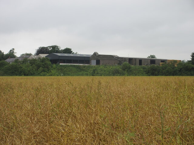
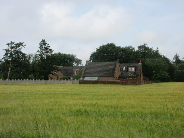
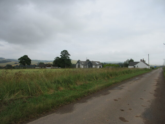
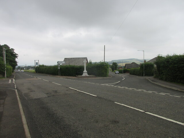
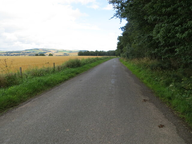
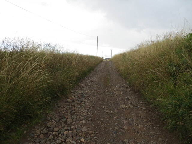
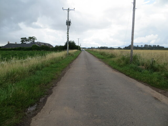
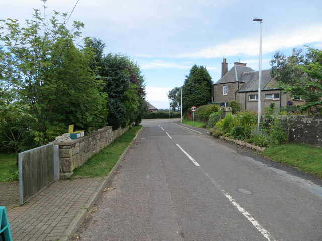
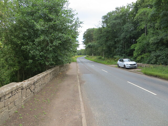
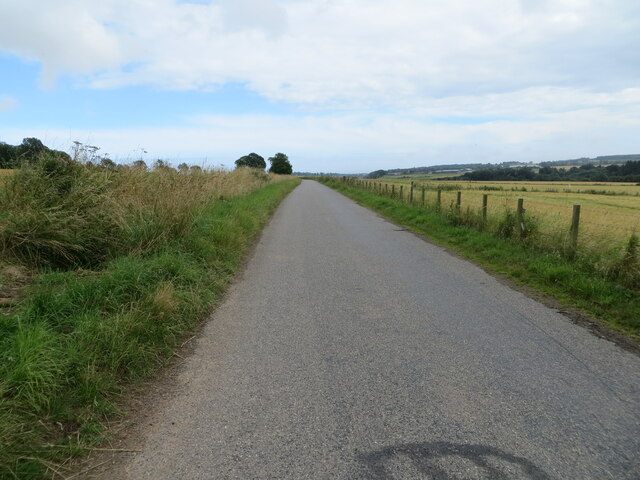
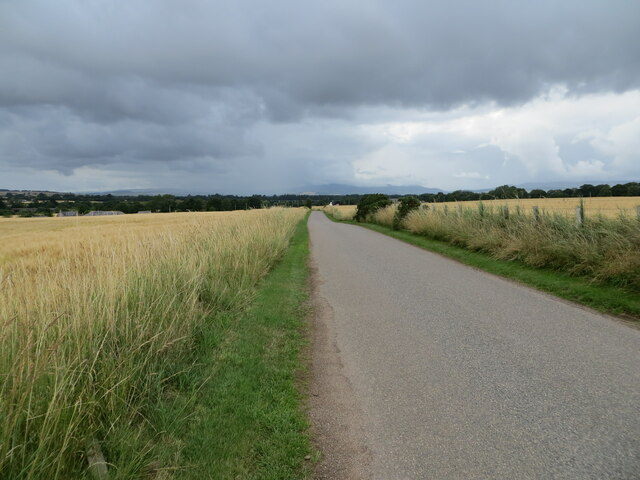
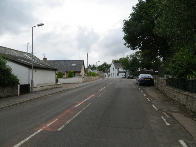
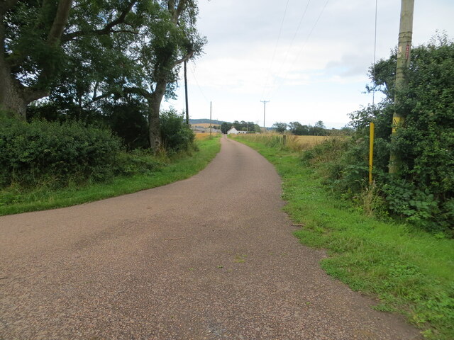
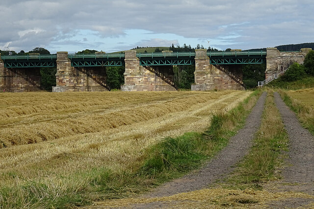
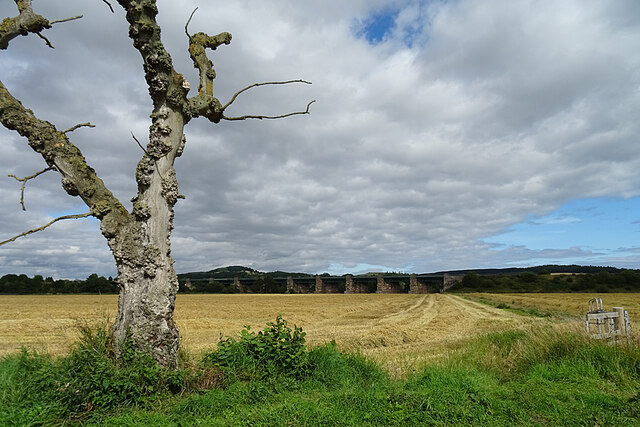
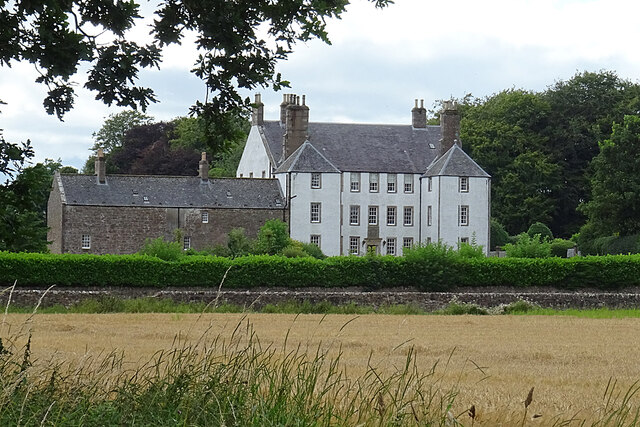
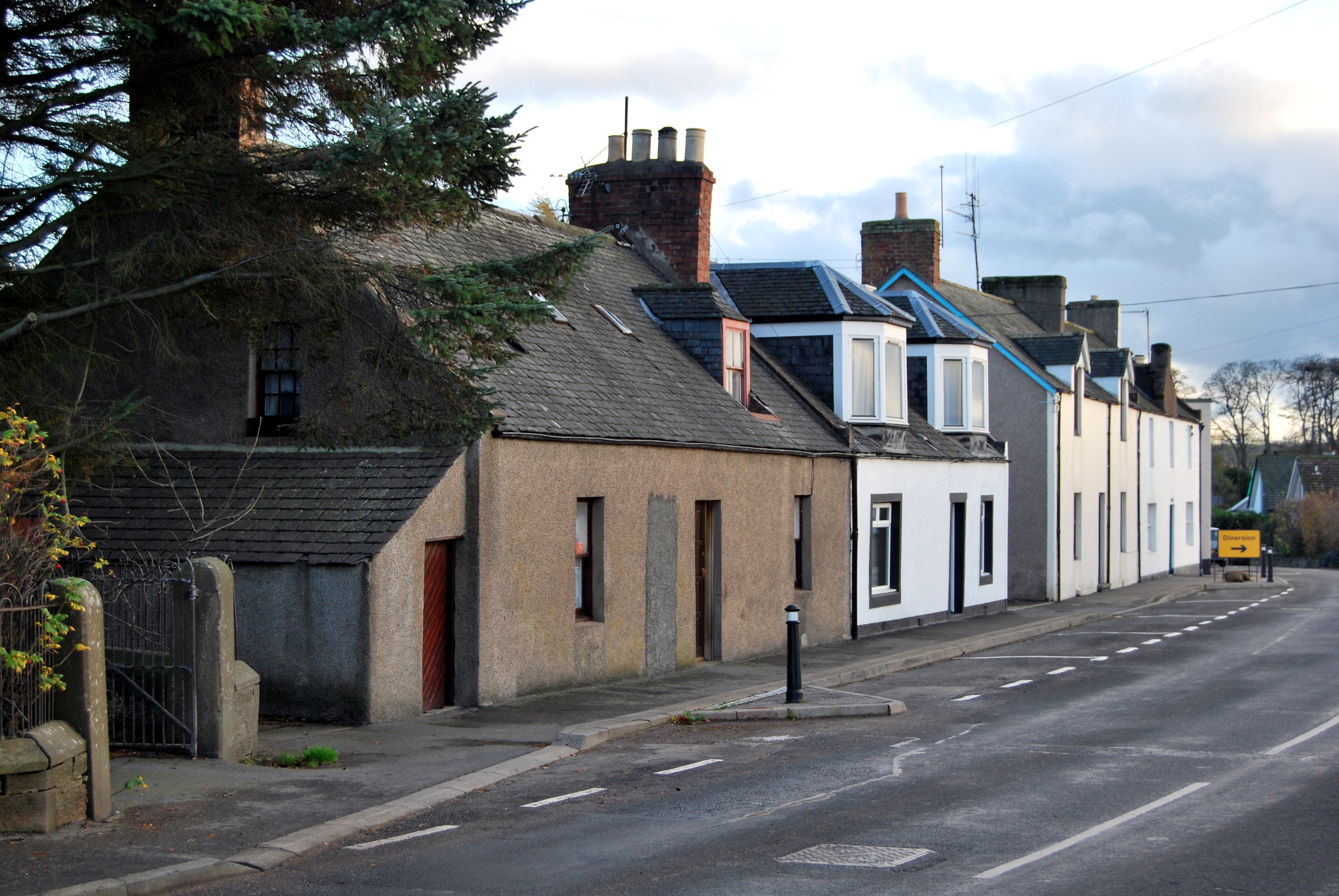
Craigo Images

Images are sourced within 2km of 56.769913/-2.510971 or Grid Reference NO6864. Thanks to Geograph Open Source API. All images are credited.

Mains of Gallery The Mains of Gallery viewed from the north-east across a field of oats.
Mains of Gallery
The Mains of Gallery viewed from the north-east across a field of oats.
High Ardoch Looking northwards to High Ardoch, viewed across a field of barley from the road.
High Ardoch
Looking northwards to High Ardoch, viewed across a field of barley from the road.
Modern, new, and old Houses near the Muirside of Craigo, of various ages.
Modern, new, and old
Houses near the Muirside of Craigo, of various ages.
Logie Pert Parish War Memorial The Logie Pert Parish WWI memorial on the A937 at North Craigo.
Logie Pert Parish War Memorial
The Logie Pert Parish WWI memorial on the A937 at North Craigo.
Road beside Quarry Wood Looking north-eastward.
Road beside Quarry Wood
Looking north-eastward.
Track giving access to North Hill of Craigo Looking south-westward.
Track giving access to North Hill of Craigo
Looking south-westward.
Minor road at Muirside of Craigo Looking westward.
Minor road at Muirside of Craigo
Looking westward.
Road joining the A937 in North Craigo Looking south-eastward.
Road joining the A937 in North Craigo
Looking south-eastward.
Road (A937) and bridge crossing a drain at South Hill of Craigo Looking south-eastward.
Road (A937) and bridge crossing a drain at South Hill of Craigo
Looking south-eastward.
Minor road between Spearmill and Forebank Looking south-eastward.
Minor road between Spearmill and Forebank
Looking south-eastward.
Minor road approaching Spearmill Looking north-westward.
Minor road approaching Spearmill
Looking north-westward.
Road (A937) passing through Marykirk Looking northward.
Road (A937) passing through Marykirk
Looking northward.
Track giving access to Mains of Gallery Looking eastward.
Track giving access to Mains of Gallery
Looking eastward.
Railway Viaduct The viaduct carries the main line to Aberdeen across the River North Esk.
Railway Viaduct
The viaduct carries the main line to Aberdeen across the River North Esk.
Railway Viaduct A wider view showing more of the viadct that carries the Aberdeen main line across the North Esk, plus a picturesque dead tree as a foreground.
Railway Viaduct
A wider view showing more of the viadct that carries the Aberdeen main line across the North Esk, plus a picturesque dead tree as a foreground.
Gallery House The house was built about 1680 for Sir John Falconer of Balmakelly, who was Master of the Mint. The builder was Thomas Wilkie, mason in Edinburgh, who may also have been the architect. Pity about the later wing on the left, which rather spoils the overall effect. Curiously, although it is Category A Listed, Canmore <span class="nowrap"><a title="https://canmore.org.uk/site/35880/gallery" rel="nofollow ugc noopener" href="https://canmore.org.uk/site/35880/gallery">Link</a><img style="margin-left:2px;" alt="External link" title="External link - shift click to open in new window" src="https://s1.geograph.org.uk/img/external.png" width="10" height="10"/></span> says dismissively, "Apparently an 18th century mansion. No interesting architectural features."
Gallery House
The house was built about 1680 for Sir John Falconer of Balmakelly, who was Master of the Mint. The builder was Thomas Wilkie, mason in Edinburgh, who may also have been the architect. Pity about the later wing on the left, which rather spoils the overall effect. Curiously, although it is Category A Listed, Canmore LinkExternal link says dismissively, "Apparently an 18th century mansion. No interesting architectural features."
Ordnance Survey Flush Bracket G4071 This bracket can be found on the wall of a private dwelling - former school building - at North Craigo.
The recorded details give a height of 44.8604 metres above sea level.
For more detail see : <span class="nowrap"><a title="https://www.bench-marks.org.uk/bm534" rel="nofollow ugc noopener" href="https://www.bench-marks.org.uk/bm534">Link</a><img style="margin-left:2px;" alt="External link" title="External link - shift click to open in new window" src="https://s1.geograph.org.uk/img/external.png" width="10" height="10"/></span>
Ordnance Survey Flush Bracket G4071
This bracket can be found on the wall of a private dwelling - former school building - at North Craigo. The recorded details give a height of 44.8604 metres above sea level. For more detail see : LinkExternal link
Ordnance Survey Flush Bracket G872 This bracket can be found on the parapet wall of the road (A937) bridge at Craigesk.
The recorded details give a height of 47.1226 metres above sea level.
For more details see : <span class="nowrap"><a title="https://www.bench-marks.org.uk/bm17761" rel="nofollow ugc noopener" href="https://www.bench-marks.org.uk/bm17761">Link</a><img style="margin-left:2px;" alt="External link" title="External link - shift click to open in new window" src="https://s1.geograph.org.uk/img/external.png" width="10" height="10"/></span>
Ordnance Survey Flush Bracket G872
This bracket can be found on the parapet wall of the road (A937) bridge at Craigesk. The recorded details give a height of 47.1226 metres above sea level. For more details see : LinkExternal link
Show me another place!

Craigo is located at Grid Ref: NO6864 (Lat: 56.769913, Lng: -2.510971)

Unitary Authority: Angus

Police Authority: Tayside

What 3 Words

///darker.symphonic.supplied. Near Hillside, Angus

Nearby Locations

Craigo

Related Wikis

Craigo railway station

Craigo railway station served the village of Craigo, Angus, Scotland from 1851 to 1956 on the Aberdeen Railway. == History == The station opened in 1851...

Craigo

Craigo is a village in Angus, Scotland. It lies about 5 miles (8.0 km) northwest of Montrose, and 1 mile (1.6 km) south of Marykirk, which is across the...

Marykirk

Marykirk (Scottish Gaelic: Obar Luathnait) is a village in the Kincardine and Mearns area of Aberdeenshire, Scotland, next to the border with Angus at...

Mill of Morphie

The Mill of Morphie is a historic waterwheel in Aberdeenshire, Scotland. The Mill of Morphie is situated nearby to the Stone of Morphie, an unshaped extant...

Nearby Amenities

Located within 500m of 56.769913,-2.510971
Bus Stop
Craigo Village
Naptan AtcoCode: 6490IM088
Naptan Bearing: NE
Naptan CommonName: Craigo Village
Naptan Indicator: at Mill Place
Naptan Landmark: Mill Place
Naptan NaptanCode: 26426475
Naptan ShortCommonName: Craigo Village
Naptan Street: at Mill Place
Naptan Verified: no
Source: naptan_import
Lat/Long: 56.7706028/-2.5095964
Bus Stop
Castle Cottages
Local Ref: AT
Naptan AtcoCode: 6490IM119
Naptan Bearing: SE
Naptan CommonName: Castle Cottages
Naptan Indicator: at
Naptan Landmark: Craigo
Naptan NaptanCode: 26423979
Naptan Verified: no
Source: naptan_import
Lat/Long: 56.76962/-2.5104502
Bus Stop
North Craigo
Bench: yes
Naptan AtcoCode: 6490IM226
Naptan Bearing: S
Naptan CommonName: North Craigo
Naptan Indicator: at bus shelter
Naptan Landmark: Memorial
Naptan NaptanCode: 26423976
Naptan Street: A937
Naptan Verified: no
Shelter: yes
Source: naptan_import
Lat/Long: 56.7666037/-2.5111984
Bus Stop
North Craigo
Bench: no
Naptan AtcoCode: 6490IM228
Naptan Bearing: N
Naptan BusStopType: CUS
Naptan CommonName: North Craigo
Naptan Indicator: opp Bus Shelter
Naptan Landmark: Memorial
Naptan NaptanCode: 26423978
Naptan Street: A937
Naptan Verified: no
Shelter: no
Source: naptan_import
Lat/Long: 56.7665704/-2.5114395
Craigo
Historic Railway: station
Railway: site
Wikidata: Q48815783
Wikipedia: en:Craigo railway station
Lat/Long: 56.7700615/-2.511713
North Craigo
Place: hamlet
Lat/Long: 56.7662577/-2.5112122
Craigo
Name Gd: Creagach
Place: village
Lat/Long: 56.7706385/-2.5097846
Historic: memorial
Memorial: war_memorial
Lat/Long: 56.766293/-2.5109376
Power: pole
Lat/Long: 56.7687548/-2.5162929
Power: pole
Lat/Long: 56.7689004/-2.5176796
Power: pole
Lat/Long: 56.7689989/-2.5186171
Muirside of Craigo
Place: hamlet
Lat/Long: 56.7690725/-2.5182621
Power: pole
Lat/Long: 56.7739423/-2.5092162
Power: pole
Lat/Long: 56.7735109/-2.5091519
Power: pole
Lat/Long: 56.7731001/-2.5090876
Power: pole
Lat/Long: 56.7723733/-2.5090055
Power: pole
Lat/Long: 56.7720038/-2.5088613
Power: pole
Lat/Long: 56.7717595/-2.5082846
Power: pole
Lat/Long: 56.77115/-2.5077357
Power: pole
Lat/Long: 56.7702074/-2.5073708
Power: pole
Lat/Long: 56.7697042/-2.5079142
Power: pole
Lat/Long: 56.7691949/-2.508482
Power: pole
Lat/Long: 56.768699/-2.5090254
Power: pole
Lat/Long: 56.7680718/-2.509733
Power: pole
Lat/Long: 56.7732885/-2.5098749
Power: pole
Lat/Long: 56.7736008/-2.5112057
Power: pole
Lat/Long: 56.7739132/-2.5124789
Power: pole
Lat/Long: 56.7686382/-2.5149675
Power: pole
Lat/Long: 56.7684887/-2.5136943
Power: pole
Lat/Long: 56.7683513/-2.5123502
Power: pole
Lat/Long: 56.7682091/-2.5110594
Power: pole
Lat/Long: 56.7674944/-2.5089633
Power: pole
Lat/Long: 56.7669219/-2.5081826
Power: pole
Lat/Long: 56.7663396/-2.5073775
Power: pole
Lat/Long: 56.7702986/-2.5085064
Power: pole
Lat/Long: 56.7667587/-2.5112807
Power: pole
Lat/Long: 56.7672871/-2.5116409
Power: pole
Lat/Long: 56.7678214/-2.511986
Power: pole
Lat/Long: 56.7689904/-2.5127668
Power: pole
Lat/Long: 56.7696109/-2.5131852
The data included in this document is from www.openstreetmap.org. The data is made available under ODbL.

Have you been to Craigo?

Leave your review of Craigo below (or comments, questions and feedback).